Black Braes
Downs, Moorland in Northumberland
England
Black Braes

Black Braes is a stunning area located in Northumberland, England, known for its breathtaking downs and expansive moorland landscapes. Spanning over a vast expanse of approximately 200 square kilometers, this region offers a diverse range of natural beauty.
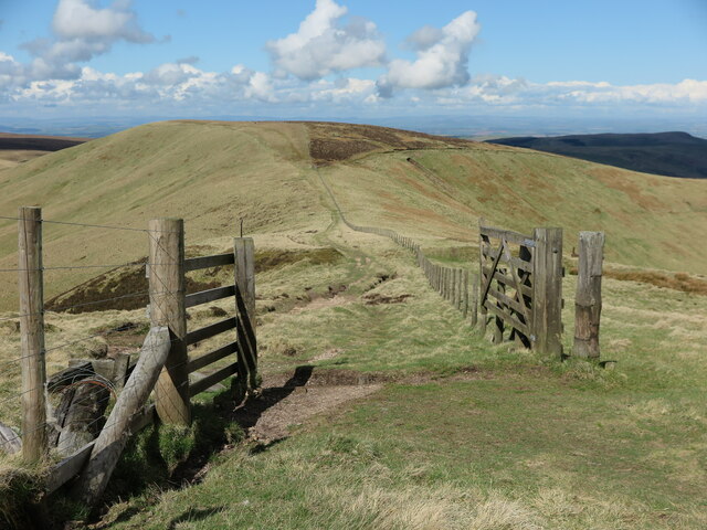
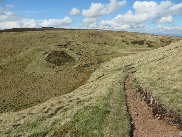
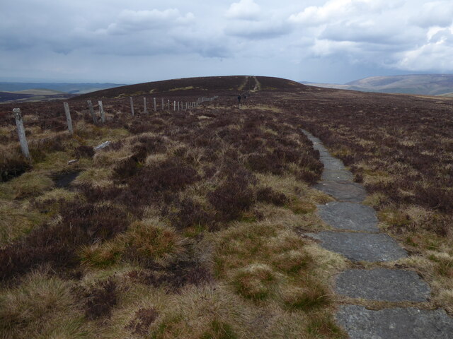
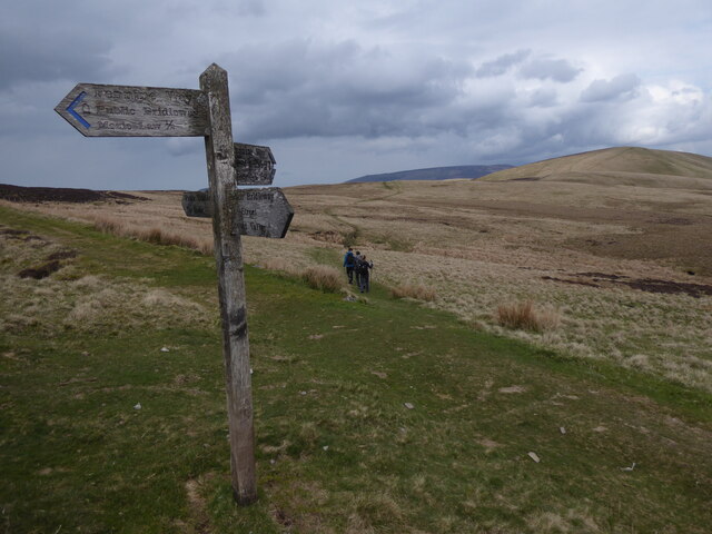
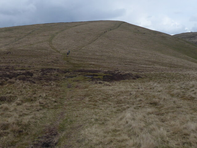
The downs of Black Braes provide a picturesque scenery, characterized by gently rolling hills covered in lush green grass and scattered with vibrant wildflowers during the summer months. The undulating terrain offers breathtaking panoramic views of the surrounding countryside, making it a popular destination for hikers, nature enthusiasts, and photographers alike.
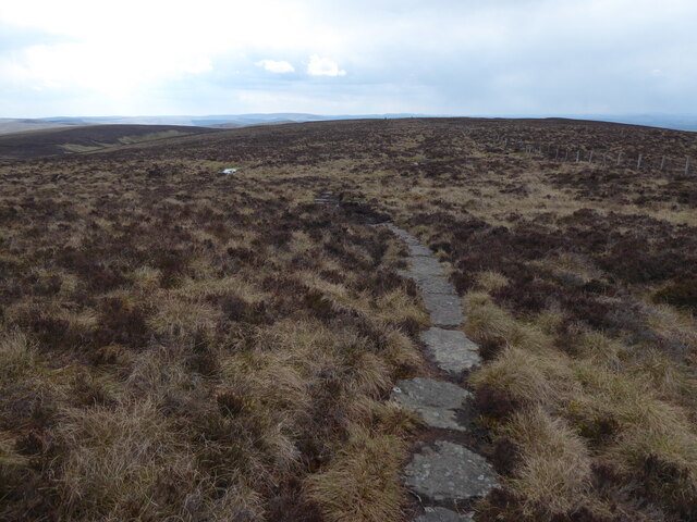
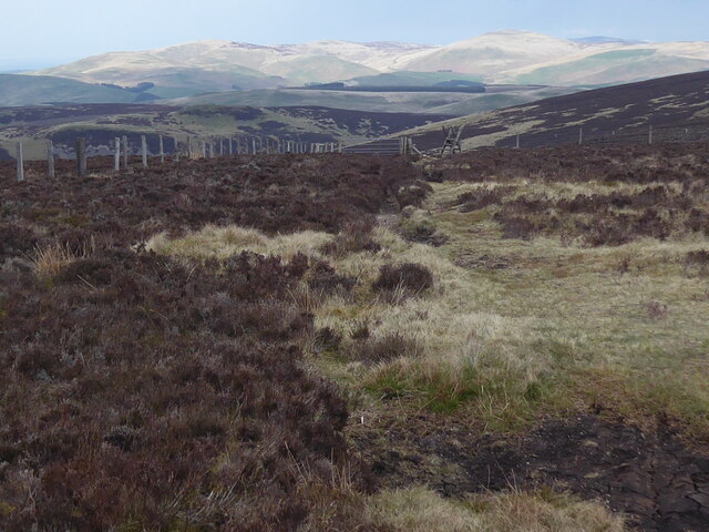
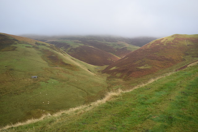
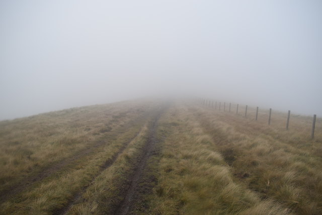
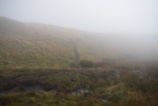
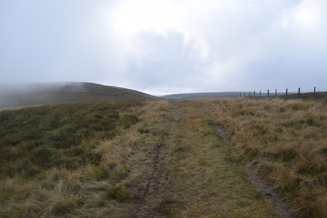
In contrast to the downs, the moorland of Black Braes showcases a rugged and wild landscape. This area is characterized by vast stretches of heather-covered hills, interspersed with rocky outcrops and peat bogs. The moorland is home to a variety of wildlife, including grouse, curlews, and various species of birds of prey. The remote and untouched nature of the moorland makes it a haven for those seeking solitude and a sense of wilderness.
The area is crisscrossed by an extensive network of trails and footpaths, allowing visitors to explore the beauty of Black Braes on foot or by bike. The nearby villages offer accommodation options ranging from cozy bed and breakfasts to charming country inns, providing a comfortable base for visitors to explore the area.
Overall, Black Braes in Northumberland offers a captivating blend of downs and moorland, providing a diverse and enchanting landscape that is sure to leave a lasting impression on all who visit.
If you have any feedback on the listing, please let us know in the comments section below.
Black Braes Images
Images are sourced within 2km of 55.421765/-2.2601875 or Grid Reference NT8314. Thanks to Geograph Open Source API. All images are credited.


Black Braes is located at Grid Ref: NT8314 (Lat: 55.421765, Lng: -2.2601875)
Unitary Authority: Northumberland
Police Authority: Northumbria
What 3 Words
///ivory.savings.mock. Near Rochester, Northumberland
Nearby Locations
Related Wikis

Windy Gyle
Windy Gyle is a mountain in the Cheviot Hills range, on the border between England and Scotland. Like the other hills in the area, it is rounded and grass...

Barrow Burn Meadows
Barrow Burn Meadows is a Site of Special Scientific Interest (SSSI) in north Northumberland, England. The site is a species-rich hay meadow of a sort now...

Barrow Burn
Barrowburn is a hamlet in Upper Coquetdale in the county of Northumberland, England. It comprises a working farm with associated buildings and two holiday...

Shillhope Law
Shillhope Law is a hill in the southern Cheviots, a range of hills in Northumberland, England. Shillhope Law is a relatively unremarkable member of this...

Mowhaugh
Mowhaugh is a hamlet and farm steading near the Calroust Burn and the Bowmont Water, near Morebattle, in the Scottish Borders area of Scotland, and in...

Chew Green
Chew Green is the site of the ancient Roman encampment, commonly but erroneously called Ad Fines (Latin: The Limits) on the 1885-1900 edition of the Ordnance...

Hownam
Hownam or Hounam is a small village and parish situated 8 miles east of Jedburgh in the Scottish Borders area of Scotland, near the Anglo-Scottish border...
Kidland
Kidland is a former civil parish, now in the parish of Alwinton in Northumberland, England, about 2 miles (3 km) northwest of Alwinton village. In 1951...
Nearby Amenities
Located within 500m of 55.421765,-2.2601875Have you been to Black Braes?
Leave your review of Black Braes below (or comments, questions and feedback).