Western Green
Downs, Moorland in Yorkshire Craven
England
Western Green
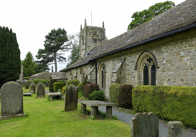
Western Green is a picturesque area located in Yorkshire, England, encompassing both the Downs and Moorland regions. The landscape of Western Green is characterized by its rolling hills, vast expanses of greenery, and diverse flora and fauna.
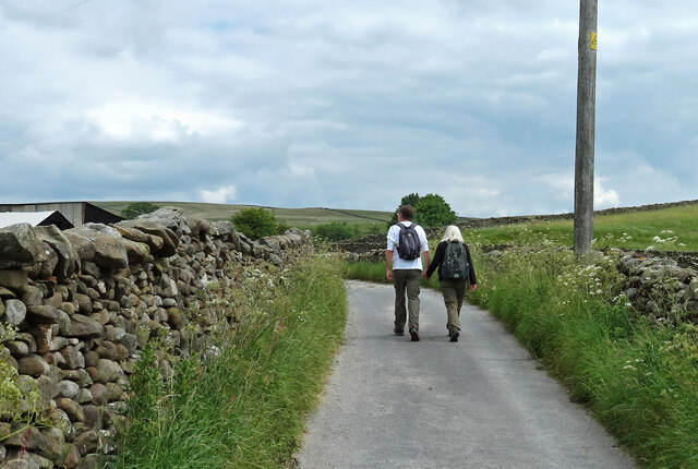
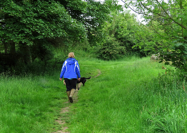
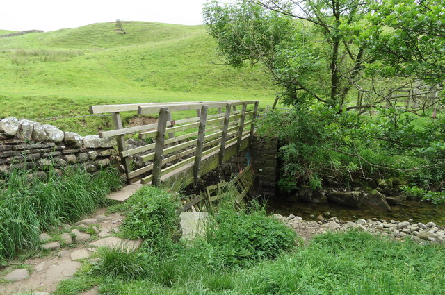
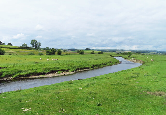
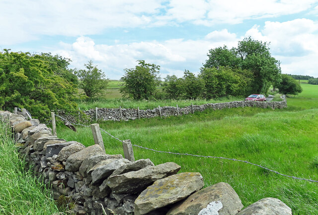
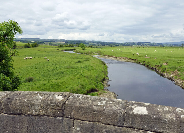
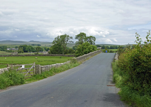
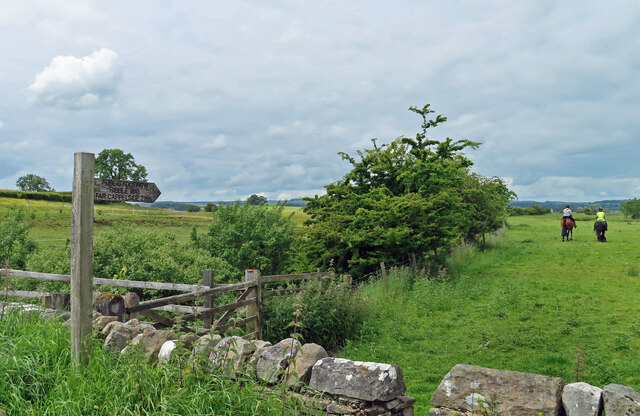
The Downs section of Western Green is renowned for its gently sloping hills and wide open spaces. It offers breathtaking panoramic views of the surrounding countryside, with its vibrant green grasslands stretching as far as the eye can see. The area is peppered with scattered trees and hedgerows, providing shelter for a variety of wildlife species. Visitors can enjoy leisurely walks or engage in outdoor activities such as hiking, cycling, and horseback riding.
In contrast, the Moorland area of Western Green boasts a rugged and wild terrain. It features vast stretches of heather-covered moors, interspersed with rocky outcrops and peat bogs. This unique landscape creates a striking contrast against the greenery of the Downs. The Moorland is home to a diverse range of plant and animal species, including grouse, curlew, and hare. It is a popular destination for birdwatchers and nature enthusiasts.
Both the Downs and Moorland sections of Western Green offer visitors a chance to immerse themselves in the serene beauty of Yorkshire's countryside. The area is well-preserved, with designated nature reserves and conservation efforts in place to protect its natural habitats. Whether it is the tranquility of the Downs or the rugged charm of the Moorland, Western Green offers a captivating experience for those seeking a nature-filled escape.
If you have any feedback on the listing, please let us know in the comments section below.
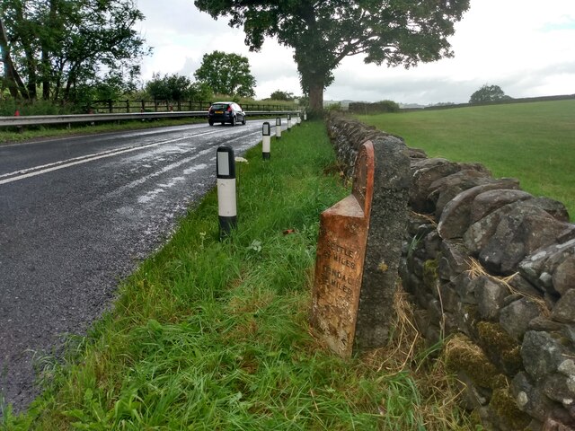
Western Green Images
Images are sourced within 2km of 54.024009/-2.2590704 or Grid Reference SD8358. Thanks to Geograph Open Source API. All images are credited.

Western Green is located at Grid Ref: SD8358 (Lat: 54.024009, Lng: -2.2590704)
Division: West Riding
Administrative County: North Yorkshire
District: Craven
Police Authority: North Yorkshire
What 3 Words
///peanut.dreamers.simulator. Near Hellifield, North Yorkshire
Nearby Locations
Related Wikis

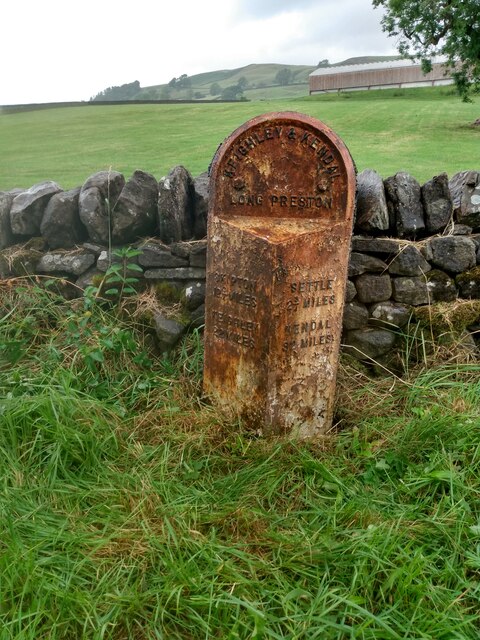
Long Preston
Long Preston is a village and civil parish in the Craven district of North Yorkshire, England, in the Yorkshire Dales. It lies along the A65 road, and...

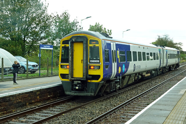
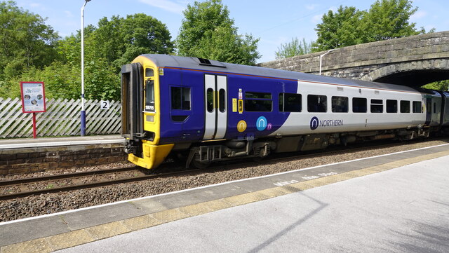
Long Preston railway station
Long Preston is a railway station on the Bentham Line, which runs between Leeds and Morecambe via Skipton. The station, situated 37+1⁄2 miles (60 km) north...
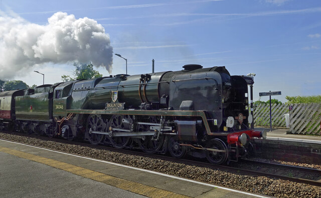
Hellifield engine shed
Hellifield Engine Shed was a railway locomotive depot adjacent to Hellifield railway station in North Yorkshire, England. The depot opened in 1880 and...

Settle Junction railway station
Settle Junction railway station was located near the town of Settle, North Yorkshire, England, immediately to south of the junction between the Midland...
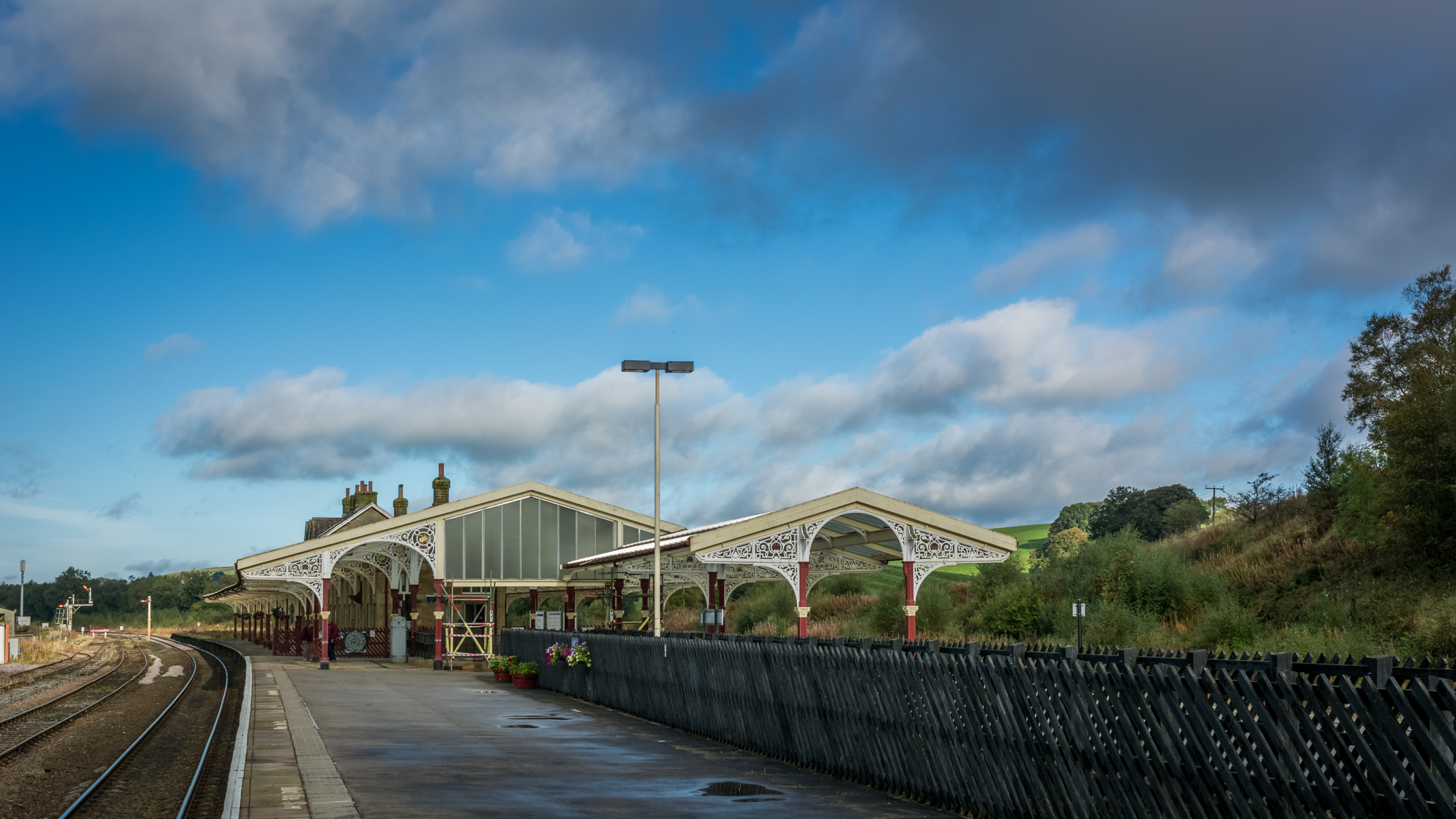
Hellifield railway station
Hellifield is a railway station on the Bentham Line, which runs between Leeds and Morecambe via Skipton. The station, situated 36 miles 17 chains (58.3...

Wigglesworth
Wigglesworth is a village and civil parish in the Craven district of North Yorkshire, England. The population of the civil parish taken at the 2011 Census...

Rathmell
Rathmell is a village and civil parish in the Craven district of North Yorkshire, England. The population of the civil parish in the 2011 census was 305...

Hellifield
Hellifield is a village and civil parish in the Craven district of North Yorkshire, England (grid reference SD855565). Historically part of the West Riding...
Nearby Amenities
Located within 500m of 54.024009,-2.2590704Have you been to Western Green?
Leave your review of Western Green below (or comments, questions and feedback).