Moss of Blackpots
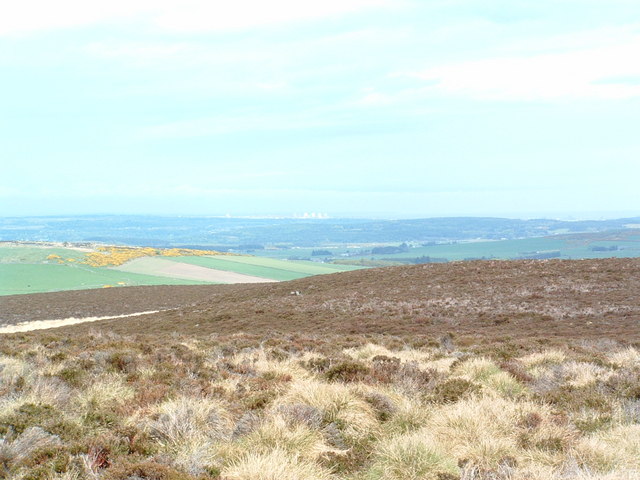
Downs, Moorland in Kincardineshire
Scotland
Moss of Blackpots
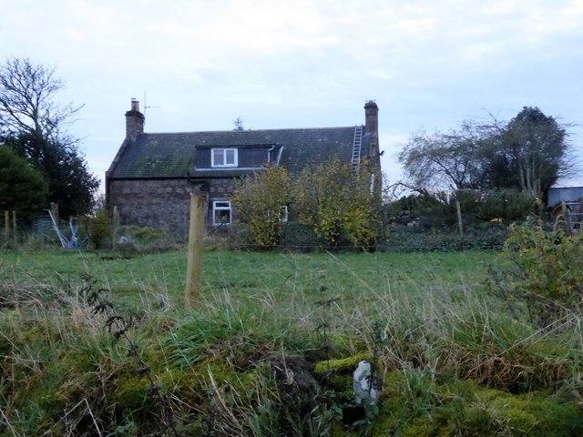
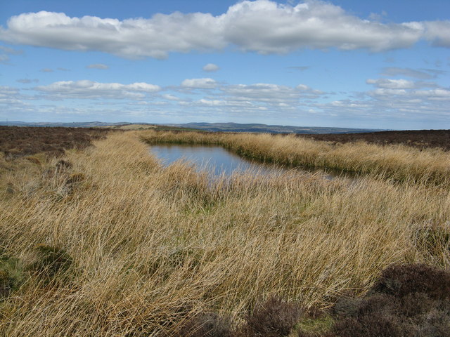
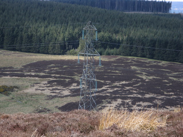
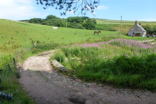
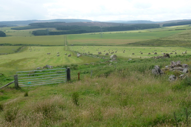
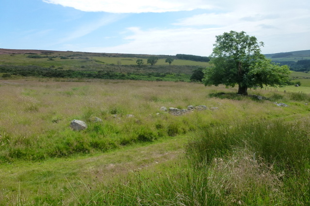
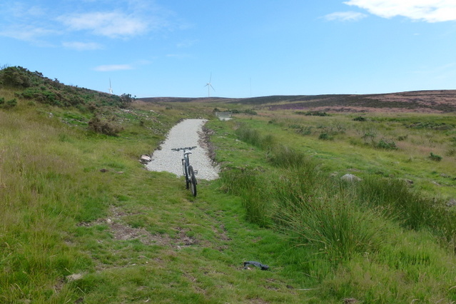
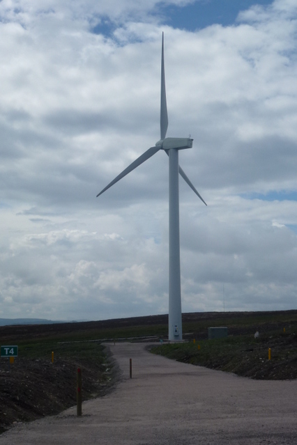
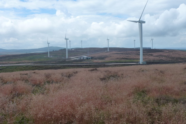
Moss of Blackpots, located in Kincardineshire, Scotland, is a captivating expanse of downs and moorland that stretches over an area of approximately 2 square kilometers. This remarkable landscape is characterized by its vast expanses of moss, heather, and grasses, creating a rich and diverse habitat for a variety of plant and animal species.
The mossland is predominantly composed of peat, which is formed over centuries as dead plant material accumulates in waterlogged conditions, resulting in a spongy and acidic terrain. This unique environment supports a plethora of moss species, including Sphagnum moss, which plays a crucial role in the water retention and carbon storage of the area.
The heather-covered downs interspersed with patches of grasses provide a contrasting scenery, adding a splash of vibrant color to the landscape. The downs also serve as grazing grounds for sheep, which are a common sight in the area.
Moss of Blackpots is home to a diverse range of wildlife. The wetland conditions attract various bird species, including red grouse, curlews, and lapwings. The moorland is also inhabited by small mammals such as voles and shrews, while the surrounding vegetation provides shelter for insects, including dragonflies and butterflies.
This natural haven offers a tranquil escape for nature enthusiasts, providing opportunities for walking, birdwatching, and exploring the unique flora and fauna that thrive within its boundaries. Moss of Blackpots is a testament to the beauty and biodiversity of Scotland's natural landscapes and serves as a valuable reminder of the importance of preserving and protecting such habitats.
If you have any feedback on the listing, please let us know in the comments section below.
Moss of Blackpots Images
Images are sourced within 2km of 57.014343/-2.2787908 or Grid Reference NO8391. Thanks to Geograph Open Source API. All images are credited.


Moss of Blackpots is located at Grid Ref: NO8391 (Lat: 57.014343, Lng: -2.2787908)
Unitary Authority: Aberdeenshire
Police Authority: North East
What 3 Words
///stall.dogs.goods. Near Stonehaven, Aberdeenshire
Nearby Locations
Related Wikis

Saddle Hill (Aberdeenshire)
Saddle Hill is a low lying mountain in eastern Aberdeenshire, Scotland within the Mounth Range of the Grampian Mountains. Its peak is 241 metres (791...

Meikle Carewe Hill
Meikle Carewe Hill is a landform in Aberdeenshire, Scotland within the Mounth Range of the Grampian Mountains. (Grid Reference NO 921 828) The peak elevation...

Curlethney Hill
Curlethney Hill is a landform in Aberdeenshire, Scotland within the Mounth Range of the Grampian Mountains. (Grid Reference NO 918 839) The peak elevation...
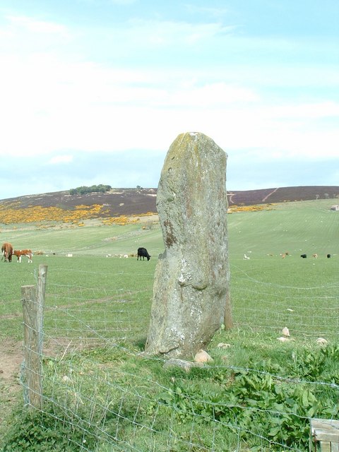
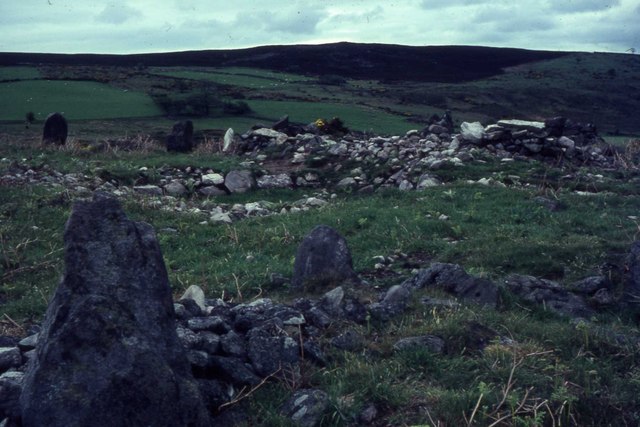
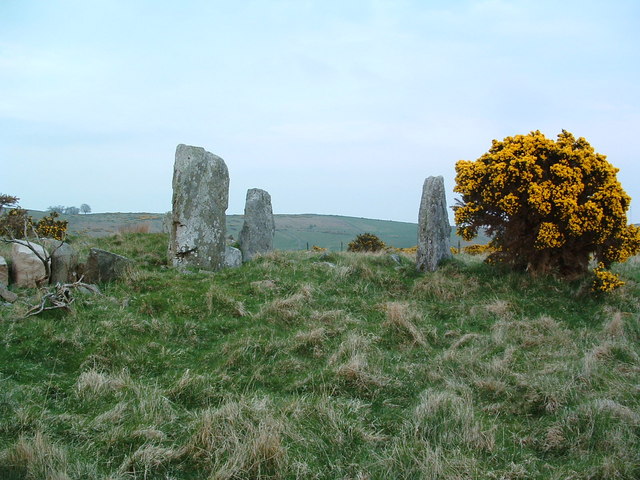
Lang Stane of Auquhollie
The Lang Stane of Auquhollie is an Ogam-inscribed standing stone some 6 kilometres north-west of Stonehaven in Scotland. Situated on south side of Meikle...
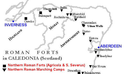
Raedykes
Raedykes is the site of a Roman marching camp located just over three miles (five kilometres) northwest of Stonehaven, Aberdeenshire, Scotland. National...

Borrowfield
Borrowfield is a settlement in Aberdeenshire, Scotland in proximity to Netherley. == History == Roman legions marched from Raedykes to Normandykes Roman...
Craggie Cat
Craggie Cat is a hill landform in the Mounth of the Grampian Mountains at the southern edge of Netherley, Aberdeenshire, Scotland. The peak elevation...

Netherley House
Netherley House is a mansion built by Alexander Silver in the late 18th century in Netherley, Aberdeenshire, Scotland. It is situated near the northerly...
Nearby Amenities
Located within 500m of 57.014343,-2.2787908Have you been to Moss of Blackpots?
Leave your review of Moss of Blackpots below (or comments, questions and feedback).