Curlethney Hill
Hill, Mountain in Kincardineshire
Scotland
Curlethney Hill

Curlethney Hill is a prominent hill located in the county of Kincardineshire, Scotland. Standing at an elevation of approximately 190 meters (623 feet), it offers breathtaking panoramic views of the surrounding area. The hill is situated near the small village of Marykirk, about 7 kilometers (4.3 miles) west of Montrose.
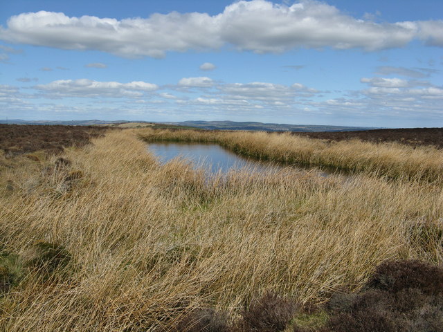
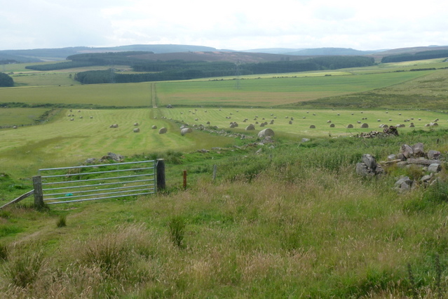
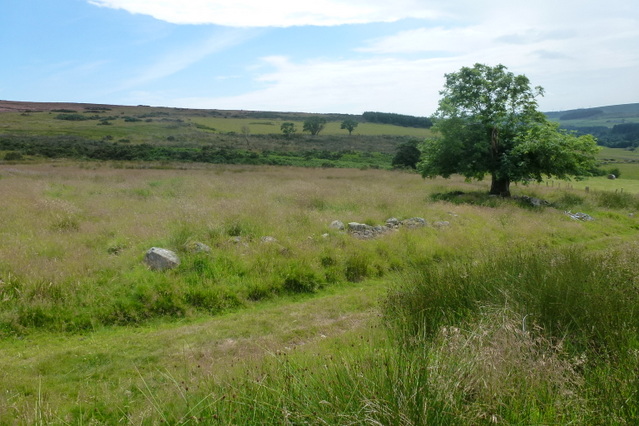
Curlethney Hill is characterized by its rolling slopes covered in lush green vegetation, which gives it a picturesque appearance. The hill is predominantly composed of sedimentary rocks, such as sandstone and shale, which have been shaped over millions of years by weathering and erosion processes. These geological features contribute to the unique landscape of the area.
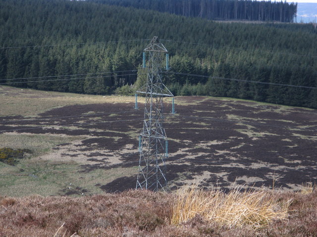
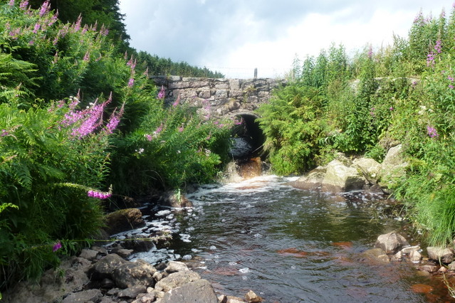
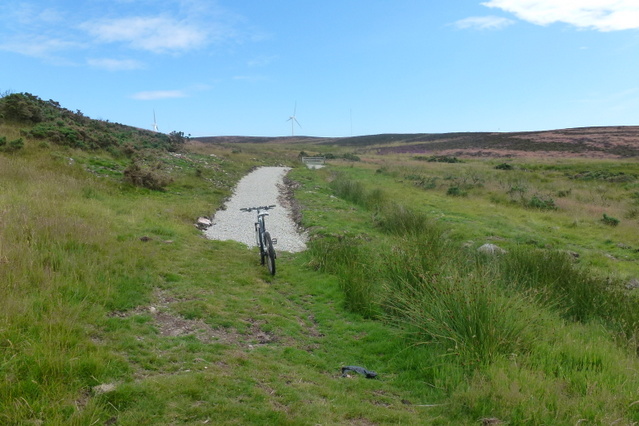
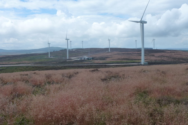
The hill is a popular destination for outdoor enthusiasts, hikers, and nature lovers. It provides a variety of walking trails that cater to different skill levels, offering visitors the opportunity to explore its natural beauty. The summit of Curlethney Hill offers stunning views of the surrounding countryside, including the River Esk and the distant Grampian Mountains to the west.
The area surrounding Curlethney Hill is rich in biodiversity, supporting a diverse range of plant and animal species. The hill is home to various bird species, including red kites, buzzards, and peregrine falcons. Wildflowers, such as bluebells and primroses, can also be found in abundance during the spring months.
Overall, Curlethney Hill is a captivating natural landmark in Kincardineshire, offering visitors a chance to immerse themselves in Scotland's scenic beauty and explore its diverse ecosystems.
If you have any feedback on the listing, please let us know in the comments section below.
Curlethney Hill Images
Images are sourced within 2km of 57.016778/-2.2664741 or Grid Reference NO8391. Thanks to Geograph Open Source API. All images are credited.


Curlethney Hill is located at Grid Ref: NO8391 (Lat: 57.016778, Lng: -2.2664741)
Unitary Authority: Aberdeenshire
Police Authority: North East
What 3 Words
///daily.vessel.crouches. Near Stonehaven, Aberdeenshire
Nearby Locations
Related Wikis

Curlethney Hill
Curlethney Hill is a landform in Aberdeenshire, Scotland within the Mounth Range of the Grampian Mountains. (Grid Reference NO 918 839) The peak elevation...

Saddle Hill (Aberdeenshire)
Saddle Hill is a low lying mountain in eastern Aberdeenshire, Scotland within the Mounth Range of the Grampian Mountains. Its peak is 241 metres (791...

Meikle Carewe Hill
Meikle Carewe Hill is a landform in Aberdeenshire, Scotland within the Mounth Range of the Grampian Mountains. (Grid Reference NO 921 828) The peak elevation...
Craggie Cat
Craggie Cat is a hill landform in the Mounth of the Grampian Mountains at the southern edge of Netherley, Aberdeenshire, Scotland. The peak elevation...
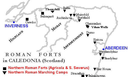
Raedykes
Raedykes is the site of a Roman marching camp located just over three miles (five kilometres) northwest of Stonehaven, Aberdeenshire, Scotland. National...

Borrowfield
Borrowfield is a settlement in Aberdeenshire, Scotland in proximity to Netherley. == History == Roman legions marched from Raedykes to Normandykes Roman...
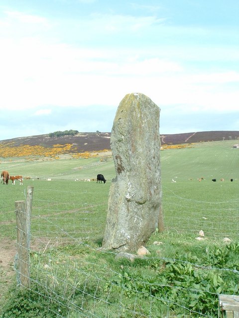
Lang Stane of Auquhollie
The Lang Stane of Auquhollie is an Ogam-inscribed standing stone some 6 kilometres north-west of Stonehaven in Scotland. Situated on south side of Meikle...

Netherley House
Netherley House is a mansion built by Alexander Silver in the late 18th century in Netherley, Aberdeenshire, Scotland. It is situated near the northerly...
Nearby Amenities
Located within 500m of 57.016778,-2.2664741Have you been to Curlethney Hill?
Leave your review of Curlethney Hill below (or comments, questions and feedback).