Birtle Moor

Downs, Moorland in Lancashire

England

Birtle Moor

WWII Lancashire: Ghost Signs of the Home Front  (10) -
(Emergency Rendezvous Point), Junction of Waterfold Lane and Bury New Road, Heywood, Bury

"ERP ---?"

Emergency Rendezvous Points (ERP) were designated places in the locality for the coordination of ARP and emergency services during civil emergencies, particularly for those services arriving from outside the area. The signs appear in a variety of designs, but most are diamond shapes framing the ERP locality number.

<a href="https://www.geograph.org.uk/photo/6945065">SD8210 : WWII Lancashire: Ghost Signs of the Home Front  (11)</a>
WWII Lancashire: Ghost Signs of the Home Front (10) Credit: Mike Searle

Birtle Moor, located in Lancashire, England, is a vast expanse of land known for its diverse natural beauty and rich historical significance. Covering an area of approximately 1,000 acres, the moorland is characterized by rolling hills, open grasslands, and heather-clad slopes.

Situated on the western edge of the South Pennines, Birtle Moor offers breathtaking panoramic views of the surrounding countryside, including the Rossendale Valley and the Manchester skyline. The moor is home to a variety of flora and fauna, with heather, bilberry, and cotton grass being prominent. The diverse habitat also supports a range of wildlife, including lapwing, curlew, and red grouse.

The area has a long history dating back to the Bronze Age, with evidence of ancient settlements and burial mounds scattered across the moorland. Birtle Moor is also renowned for its stone circles, most notably the "Birtle Stones," a collection of large boulders believed to have been erected during the Neolithic period.

The moorland is a popular destination for outdoor enthusiasts, offering numerous walking and hiking trails that cater to all levels of ability. Visitors can explore the area's natural wonders while taking in the tranquil atmosphere and enjoying the sounds of nature.

Birtle Moor is managed by the local council, who strive to preserve its natural beauty and protect its historical significance. The moor is open to the public year-round and provides a peaceful retreat for those seeking solace in nature or an opportunity to immerse themselves in Lancashire's rich history.

If you have any feedback on the listing, please let us know in the comments section below.
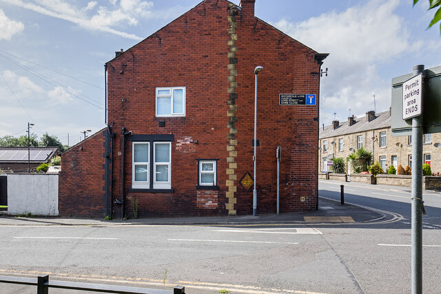
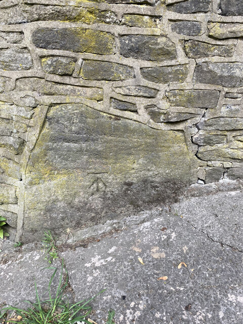
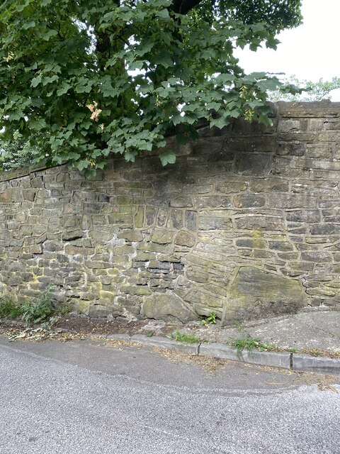
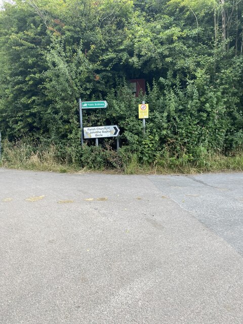
Birtle Moor Images

Images are sourced within 2km of 53.606308/-2.2566859 or Grid Reference SD8312. Thanks to Geograph Open Source API. All images are credited.

WWII Lancashire: Ghost Signs of the Home Front  (10) -
(Emergency Rendezvous Point), Junction of Waterfold Lane and Bury New Road, Heywood, Bury

"ERP ---?"

Emergency Rendezvous Points (ERP) were designated places in the locality for the coordination of ARP and emergency services during civil emergencies, particularly for those services arriving from outside the area. The signs appear in a variety of designs, but most are diamond shapes framing the ERP locality number.

<a href="https://www.geograph.org.uk/photo/6945065">SD8210 : WWII Lancashire: Ghost Signs of the Home Front  (11)</a>
WWII Lancashire: Ghost Signs of the Home Front (10)
- (Emergency Rendezvous Point), Junction of Waterfold Lane and Bury New Road, Heywood, Bury "ERP ---?" Emergency Rendezvous Points (ERP) were designated places in the locality for the coordination of ARP and emergency services during civil emergencies, particularly for those services arriving from outside the area. The signs appear in a variety of designs, but most are diamond shapes framing the ERP locality number. SD8210 : WWII Lancashire: Ghost Signs of the Home Front (11)
WWII Lancashire: Ghost Signs of the Home Front  (11) -
Emergency Rendezvous Point, Junction of Waterfold Lane and Bury New Road, Heywood, Bury

"ERP ---?"

Emergency Rendezvous Points (ERP) were designated places in the locality for the coordination of ARP and emergency services during civil emergencies, particularly for those services arriving from outside the area. The signs appear in a variety of designs, but most are diamond shapes framing the ERP locality number.

<a href="https://www.geograph.org.uk/photo/6945270">SD8410 : WWII Lancashire: Ghost Signs of the Home Front  (12)</a>
WWII Lancashire: Ghost Signs of the Home Front (11)
- Emergency Rendezvous Point, Junction of Waterfold Lane and Bury New Road, Heywood, Bury "ERP ---?" Emergency Rendezvous Points (ERP) were designated places in the locality for the coordination of ARP and emergency services during civil emergencies, particularly for those services arriving from outside the area. The signs appear in a variety of designs, but most are diamond shapes framing the ERP locality number. SD8410 : WWII Lancashire: Ghost Signs of the Home Front (12)
Topping Fold Road 
At the bus stop is a Bury Bolts bus on route B4. The service is operated by  Rossobus.
Topping Fold Road
At the bus stop is a Bury Bolts bus on route B4. The service is operated by Rossobus.
Aladdin's DIY Situated at the junction of Rochdale Old Road and Woodgate Hall Road. Although the shop was up for sale in 2008 <a href="https://www.geograph.org.uk/photo/1053256">SD8211 : Shop, Rochdale Old Road, Bury</a> it seems to be still going strong.
Aladdin's DIY
Situated at the junction of Rochdale Old Road and Woodgate Hall Road. Although the shop was up for sale in 2008 SD8211 : Shop, Rochdale Old Road, Bury it seems to be still going strong.
Rochdale Old Road 
The B6222 from Bury to Rochdale via Jericho.
Rochdale Old Road
The B6222 from Bury to Rochdale via Jericho.
Ferngrove (East) Leading off Rochdale Old Road into the eastern section of the Fern Grove estate which is separated from the western section by the M66 motorway on the left.
Ferngrove (East)
Leading off Rochdale Old Road into the eastern section of the Fern Grove estate which is separated from the western section by the M66 motorway on the left.
Premier express Convenience store on Rochdale Old Road.
Premier express
Convenience store on Rochdale Old Road.
Alder Avenue When the M66 was built it cut through the Fern Grove and Topping Fold estates severing the links between the east and west sides.
Alder Avenue
When the M66 was built it cut through the Fern Grove and Topping Fold estates severing the links between the east and west sides.
OS Cut Mark - Mawkin Farm, Castle Hill Road
Location of OS Cut Mark - Mawkin Farm, Castle Hill Road
Road signs
Road signs
OS Cut Mark - Bury, Castle Hill Road <span class="nowrap"><a title="https://www.bench-marks.org.uk/bm106880" rel="nofollow ugc noopener" href="https://www.bench-marks.org.uk/bm106880">Link</a><img style="margin-left:2px;" alt="External link" title="External link - shift click to open in new window" src="https://s1.geograph.org.uk/img/external.png" width="10" height="10"/></span>
OS Cut Mark - Bury, Castle Hill Road
Location of
Location of
Castle Hill Road
Castle Hill Road
OS Cut Mark - Bury, Castle Hill Road <span class="nowrap"><a title="https://www.bench-marks.org.uk/bm106879" rel="nofollow ugc noopener" href="https://www.bench-marks.org.uk/bm106879">Link</a><img style="margin-left:2px;" alt="External link" title="External link - shift click to open in new window" src="https://s1.geograph.org.uk/img/external.png" width="10" height="10"/></span>
OS Cut Mark - Bury, Castle Hill Road
Location of OS Cut Mark - Bury, Castle Hill Road
Hercules Trig Point from Mawkin Farm
Hercules Trig Point Flush Bracket S2794
Show me another place!

Birtle Moor is located at Grid Ref: SD8312 (Lat: 53.606308, Lng: -2.2566859)

Unitary Authority: Rochdale

Police Authority: Greater Manchester

What 3 Words

///fills.feeds.mugs. Near Heywood, Manchester

Nearby Locations

Birtle Moor Birtle

Related Wikis

Bircle

The historic parish of Bircle, near Bury, England, was created on 1 July 1846, although the village of Bircle (now known as Birtle) has existed for many...

Jericho, Bury

Jericho is a district of Bury, Greater Manchester, England. It is thought that the area of Jericho was so named when the reverend John Wesley preached...

Fairfield General Hospital

Fairfield General Hospital is a hospital in Bury, Greater Manchester. It is managed by the Northern Care Alliance NHS Foundation Trust. == History == The...

Heap, Bury

Heap was a district of Bury, England until it was abolished in 1894 to become parts of the parishes of Heywood, Bury, Bircle and Unsworth.The district...

Birtle, Greater Manchester

Birtle is a hamlet within the Metropolitan Borough of Rochdale, in Greater Manchester, England. It lies in the Cheesden Valley, set amongst the Pennines...

Tack Lee Brook

Tack Lee Brook is a watercourse in Greater Manchester and a tributary of the River Roch. Birtle Brook is one of its tributaries.

Cheesden Valley

The Cheesden Valley is a valley in the Heywood area of Greater Manchester, England. It runs on a north–south alignment between Bury and Rochdale in the...

Hazel Wood High School

Hazel Wood High School, formerly known as Broad Oak Sports College, is a coeducational 11-16 secondary school located on Hazel Avenue about a mile to the...

Nearby Amenities

Located within 500m of 53.606308,-2.2566859
Turning Circle
Lat/Long: 53.6028692/-2.2600317
Bus Stop
Rochdale Old Road/New Hall Road
Bus: yes
Naptan AtcoCode: 1800NC48171
Naptan Bearing: E
Naptan CommonName: Rochdale Old Road/New Hall Road
Naptan Indicator: O/s House 545
Naptan Landmark: HOUSE 545
Naptan NaptanCode: mandtwgp
Naptan PlusbusZoneRef: MNCRPIC
Naptan ShortCommonName: New Hall Road
Naptan Street: Rochdale Old Road
Naptan Verified: no
Network: TfGM
Public Transport: platform
Source: naptan_import
Lat/Long: 53.6023321/-2.2532162
Gallows Hill
Place: locality
Lat/Long: 53.6053994/-2.2607207
Mawkin Farm
Place: isolated_dwelling
Lat/Long: 53.6068239/-2.2623933
Woodgate Hill
Place: locality
Lat/Long: 53.6031772/-2.2610576
Man Made: chimney
Lat/Long: 53.6078407/-2.2499266
Mini Roundabout
Lat/Long: 53.6071163/-2.2502648
The data included in this document is from www.openstreetmap.org. The data is made available under ODbL.

Have you been to Birtle Moor?

Leave your review of Birtle Moor below (or comments, questions and feedback).