Preston, Long
Settlement in Yorkshire Craven
England
Preston, Long
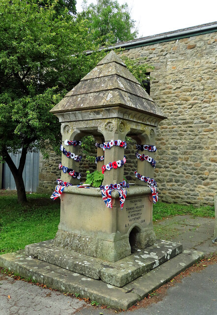
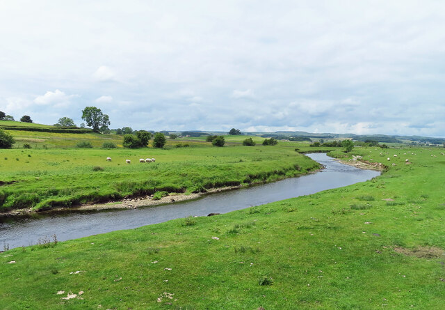
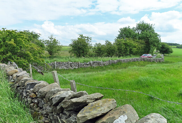
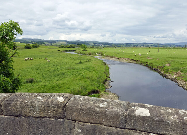
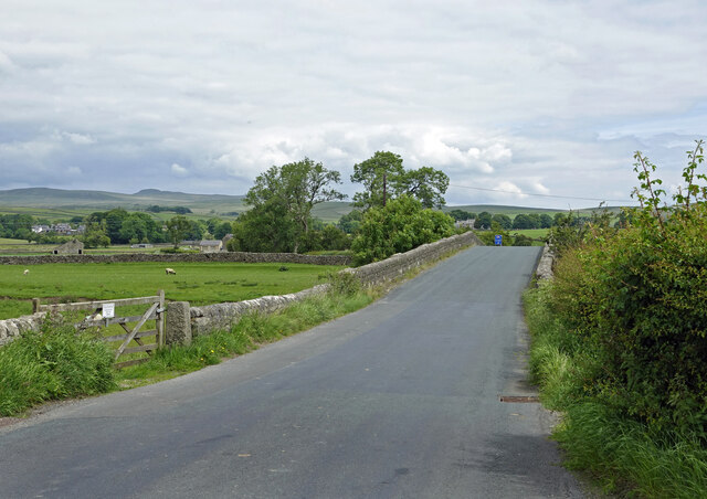
Preston, Long is a small village located in the county of Yorkshire, England. Situated in the picturesque countryside, it is known for its tranquil and idyllic setting. The village lies approximately 10 miles northeast of the city of York and is surrounded by rolling hills and lush green fields.
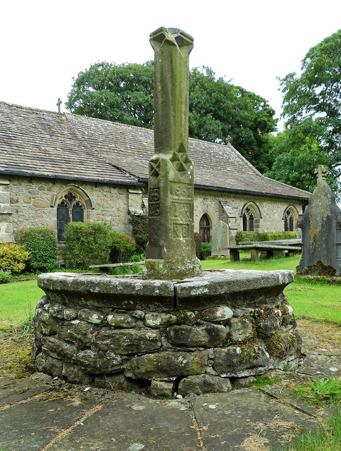
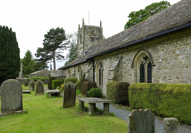
The history of Preston, Long dates back several centuries, with evidence of human settlement found in the area dating back to the Roman era. The village has retained its traditional charm, with many of its buildings showcasing classic English architecture. The local church, St. Mary's, is a prominent feature of the village, displaying stunning medieval craftsmanship.
Although small in size, Preston, Long offers a close-knit and welcoming community. The village is home to a handful of amenities, including a local pub, a village hall, and a post office. Residents also benefit from a regular bus service connecting them to nearby towns and cities.
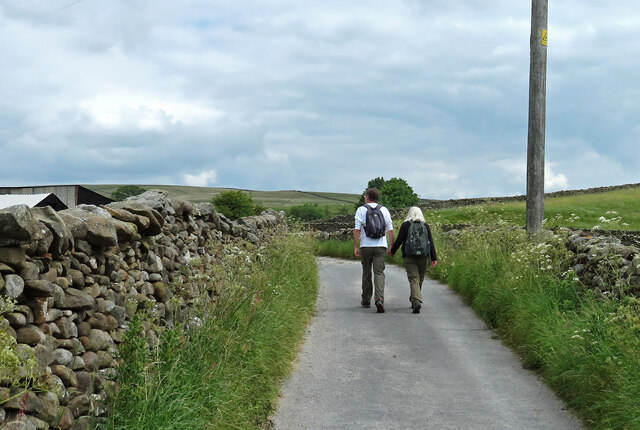
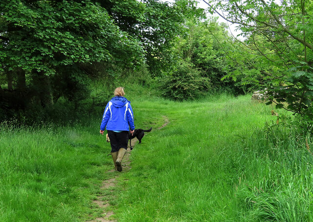
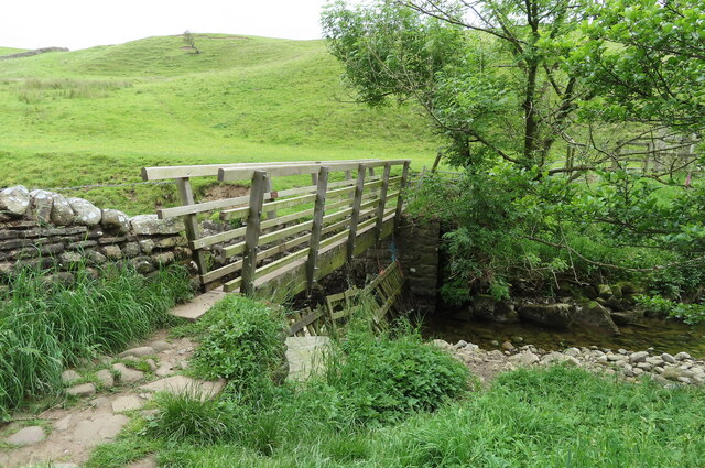
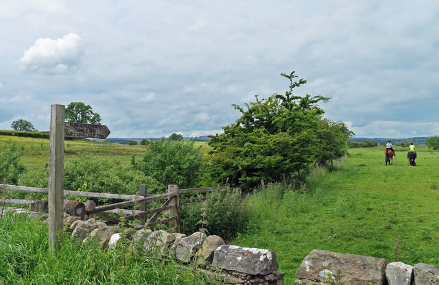
The surrounding countryside provides ample opportunities for outdoor activities such as hiking, cycling, and horse riding. The village is also within close proximity to several nature reserves and parks, allowing residents and visitors to explore the diverse flora and fauna of the area.
Overall, Preston, Long offers a peaceful and scenic retreat from the bustling city life, making it an attractive destination for those seeking a slower pace of living or a picturesque holiday getaway.
If you have any feedback on the listing, please let us know in the comments section below.
Preston, Long Images
Images are sourced within 2km of 54.019402/-2.254822 or Grid Reference SD8358. Thanks to Geograph Open Source API. All images are credited.


Preston, Long is located at Grid Ref: SD8358 (Lat: 54.019402, Lng: -2.254822)
Division: West Riding
Administrative County: North Yorkshire
District: Craven
Police Authority: North Yorkshire
What 3 Words
///glows.presented.waltzed. Near Hellifield, North Yorkshire
Nearby Locations
Related Wikis

Long Preston
Long Preston is a village and civil parish in the Craven district of North Yorkshire, England, in the Yorkshire Dales. It lies along the A65 road, and...

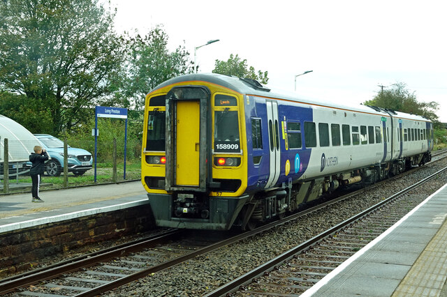
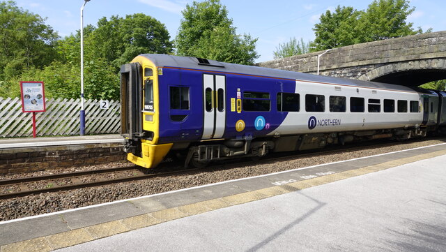
Long Preston railway station
Long Preston is a railway station on the Bentham Line, which runs between Leeds and Morecambe via Skipton. The station, situated 37+1⁄2 miles (60 km) north...
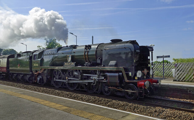
Hellifield engine shed
Hellifield Engine Shed was a railway locomotive depot adjacent to Hellifield railway station in North Yorkshire, England. The depot opened in 1880 and...
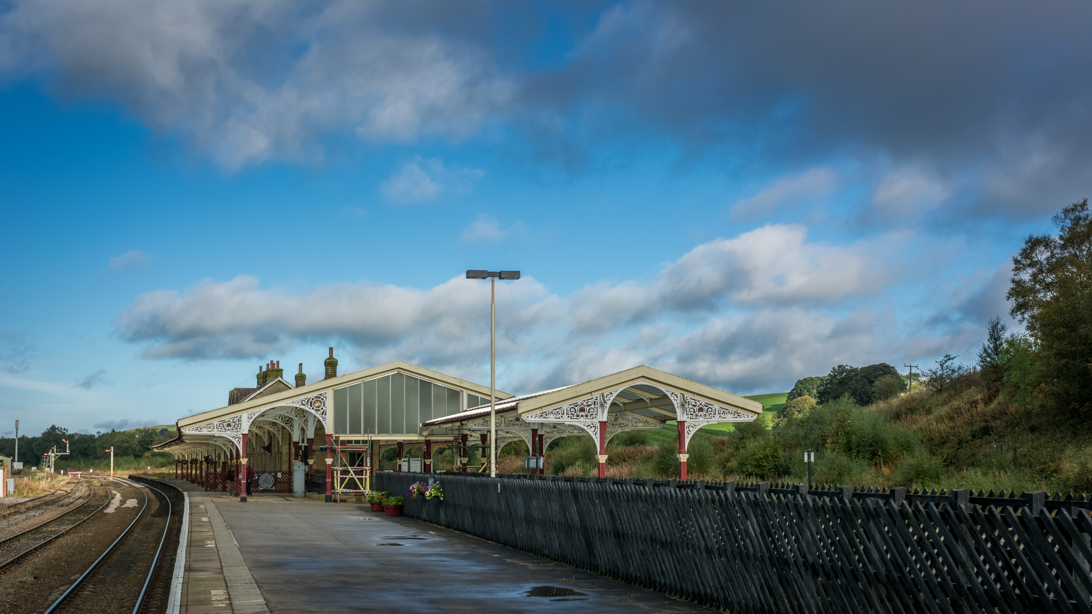
Hellifield railway station
Hellifield is a railway station on the Bentham Line, which runs between Leeds and Morecambe via Skipton. The station, situated 36 miles 17 chains (58.3...
Nearby Amenities
Located within 500m of 54.019402,-2.254822Have you been to Preston, Long?
Leave your review of Preston, Long below (or comments, questions and feedback).