Bastifell
Downs, Moorland in Westmorland Eden
England
Bastifell

Bastifell is a quaint village located in the picturesque county of Westmorland, England. Nestled amidst the stunning Downs and Moorland, the village offers a serene and idyllic setting for residents and visitors alike.
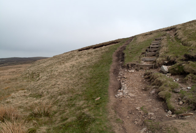
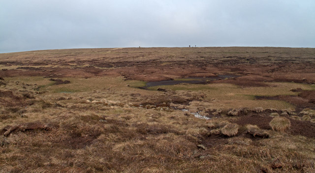
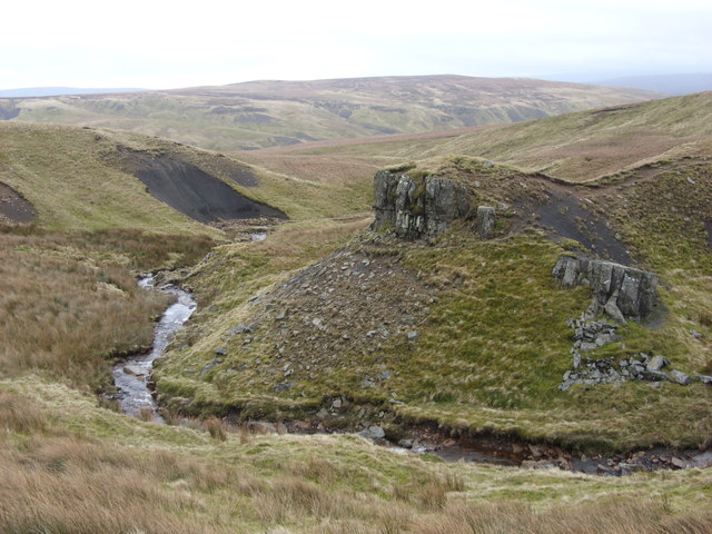
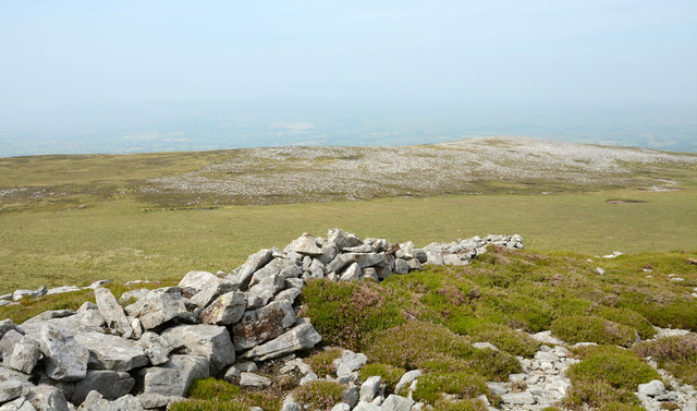
Surrounded by rolling hills and lush greenery, Bastifell is a haven for nature enthusiasts and outdoor lovers. The Downs provide ample opportunities for hiking, walking, and exploring the unspoiled beauty of the countryside. The Moorland, on the other hand, offers a unique landscape with its heather-covered hills and rocky outcrops, attracting bird watchers and wildlife enthusiasts.
The village itself exudes a charming and traditional atmosphere, with its stone cottages and well-preserved historic buildings. The local community takes great pride in maintaining the village's heritage and preserving its character. Visitors can admire the beautiful architecture, including the 12th-century St. Mary's Church, which stands as a testament to the village's rich history.
Despite its small size, Bastifell boasts a close-knit community with a range of amenities and services. The village has a local pub, The Black Swan, where residents and visitors can enjoy a pint of ale and indulge in hearty British cuisine. There is also a village shop that provides essential groceries and serves as a hub for social interaction.
For those seeking a peaceful retreat away from the hustle and bustle of city life, Bastifell in Westmorland offers a tranquil haven amidst stunning natural landscapes and a warm, welcoming community.
If you have any feedback on the listing, please let us know in the comments section below.
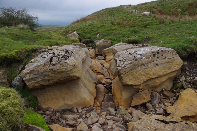
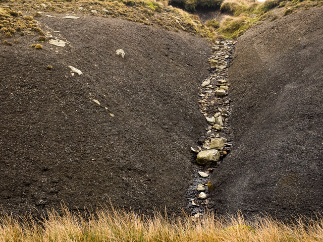
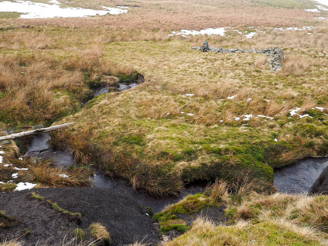
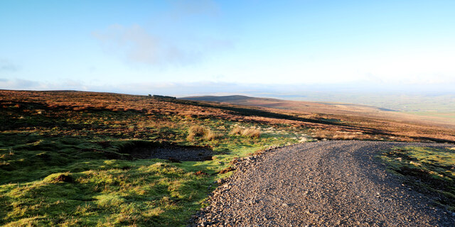
Bastifell Images
Images are sourced within 2km of 54.459009/-2.2691398 or Grid Reference NY8207. Thanks to Geograph Open Source API. All images are credited.


Bastifell is located at Grid Ref: NY8207 (Lat: 54.459009, Lng: -2.2691398)
Administrative County: Cumbria
District: Eden
Police Authority: Cumbria
What 3 Words
///stays.spindles.access. Near Kirkby Stephen, Cumbria
Nearby Locations
Related Wikis
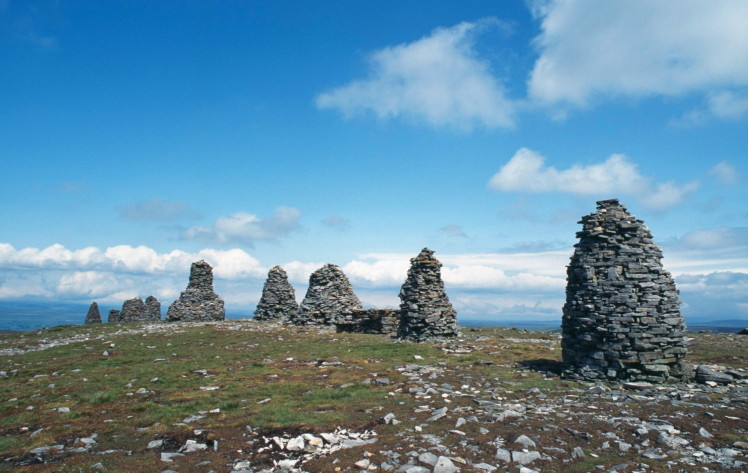
Nine Standards Rigg
Nine Standards Rigg is the summit of Hartley Fell in the Pennine Hills of England. It lies near the boundary between Cumbria and North Yorkshire, a few...

Belah Viaduct
The Belah Viaduct was a railway viaduct on the South Durham and Lancashire Union Railway, crossing the River Belah, in Cumbria, England, about 1 mile...

Hartley Castle
Hartley Castle was a castle near Kirkby Stephen, Cumbria, England. == History == The manor was confiscated circa 1315 from Roger de Clifford and granted...
Hartley, Cumbria
Hartley is a village and civil parish in the Eden district of Cumbria, England. It is about 0.5 miles (0.8 km) east of Kirkby Stephen. The area has many...

Birkdale, North Yorkshire
Birkdale (sometimes written out as Birk Dale) is a dale in the Yorkshire Dales National Park, in North Yorkshire, England. It lies at the far western end...

Barras railway station
Barras railway station was situated on the South Durham & Lancashire Union Railway between Barnard Castle and Kirkby Stephen East. == History == The station...

Nateby, Cumbria
Nateby is a village and civil parish in the Eden district of Cumbria, England. The parish had a population of 110 in 2001, increasing to 120 at the 2011...

Barras, Cumbria
Barras is a hamlet close to the River Belah, about 4 miles (6 kilometres) south-east of Brough, Cumbria, England. Until the creation of the new county...
Nearby Amenities
Located within 500m of 54.459009,-2.2691398Have you been to Bastifell?
Leave your review of Bastifell below (or comments, questions and feedback).