The Abbey Park

Downs, Moorland in Dorset

England

The Abbey Park

Path to Houghton South Down
Path to Houghton South Down Credit: Vieve Forward

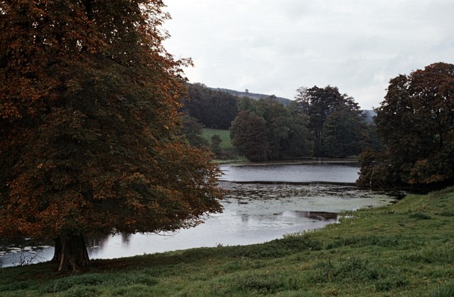
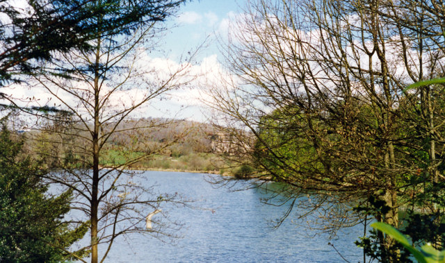
The Abbey Park in Dorset is a picturesque natural reserve located in the heart of the county. Spanning over a vast area of diverse landscapes, it encompasses downs, moorland, and various other habitats. The park is renowned for its breathtaking beauty and abundant wildlife, making it a popular destination for nature lovers and outdoor enthusiasts alike.

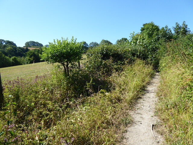
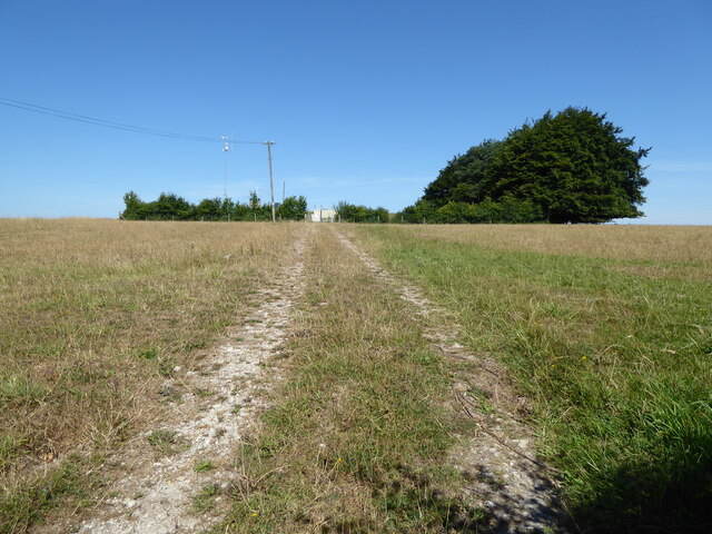
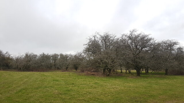
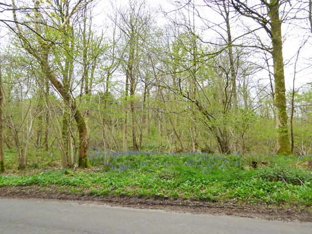
The downs in The Abbey Park are characterized by rolling hills covered in lush grasses and dotted with vibrant wildflowers. They offer sweeping views of the surrounding countryside, providing visitors with a sense of tranquility and serenity. The moorland, on the other hand, presents a stark contrast with its rugged terrain and heath vegetation. This unique landscape is home to a variety of rare plant species and provides a habitat for numerous bird species, including the iconic Dartford warbler.

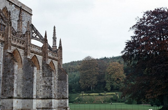
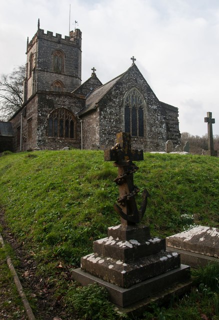
The Abbey Park is not only a haven for flora and fauna, but it also holds historical significance. The ruins of an ancient abbey, dating back to the medieval period, can be found within the park. These remnants serve as a reminder of the area's rich cultural heritage and offer visitors a glimpse into the past.

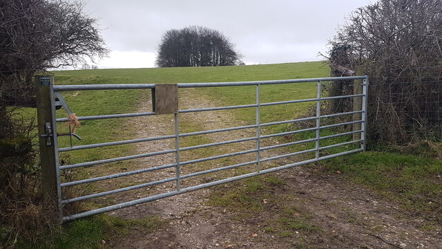
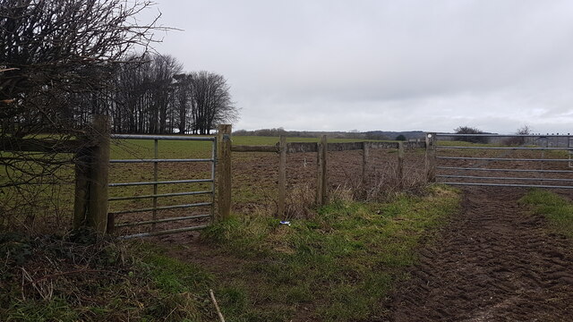
In addition to its natural and historical attractions, The Abbey Park offers a range of recreational activities. Hiking and walking trails traverse the park, allowing visitors to explore its diverse landscapes and observe the wildlife. Picnic areas are scattered throughout the park, providing a perfect spot for a leisurely lunch amidst nature's beauty.

Overall, The Abbey Park in Dorset is a captivating destination that seamlessly blends natural beauty, historical significance, and recreational opportunities, making it a must-visit location for individuals seeking a genuine connection with nature and a glimpse into the region's past.

If you have any feedback on the listing, please let us know in the comments section below.

The Abbey Park Images

Images are sourced within 2km of 50.821885/-2.2875125 or Grid Reference ST7902. Thanks to Geograph Open Source API. All images are credited.

Path to Houghton South Down
Reservoir, Houghton Down Clump
The road towards Milton Abbas passing Park Farm
Entrance to Catherine's Well
Bully Wood near Milton Abbas
Footpath Gate on Houghton Down
Footpath Gate to Houghton Down
Pidgeon House Plantation The thickly-wooded plantation is seen from the grounds of Milton Abbey School. The Abbey is on the left.
Pidgeon House Plantation
The thickly-wooded plantation is seen from the grounds of Milton Abbey School. The Abbey is on the left.
The Lake at Milton Abbas There is or was private fishing on this 500m-long lake. The location is approximate.
The Lake at Milton Abbas
There is or was private fishing on this 500m-long lake. The location is approximate.
Benchmark on All Saints Church, Hilton Ordnance Survey benchmark, described on database at <span class="nowrap"><a title="http://www.bench-marks.org.uk/bm72978" rel="nofollow ugc noopener" href="http://www.bench-marks.org.uk/bm72978">Link</a><img style="margin-left:2px;" alt="External link" title="External link - shift click to open in new window" src="https://s1.geograph.org.uk/img/external.png" width="10" height="10"/></span>. See also <a href="https://www.geograph.org.uk/photo/4807895">ST7802 : All Saints Church, Hilton</a>
Benchmark on All Saints Church, Hilton
Ordnance Survey benchmark, described on database at LinkExternal link. See also ST7802 : All Saints Church, Hilton
All Saints Church, Hilton The photo shows an interesting gravestone with an anchor. The inscription was too faint to read.
All Saints Church, Hilton
The photo shows an interesting gravestone with an anchor. The inscription was too faint to read.
Green Walk Cottage near Milton Abbey, 1967 One that was left when the rest of the village of Middleton was redeveloped (and called Milton Abbas) in 1780 by Joseph Damer (first Earl of Dorchester) to the designs of Sir William Chambers and 'Capability' Brown.
Green Walk Cottage near Milton Abbey, 1967
One that was left when the rest of the village of Middleton was redeveloped (and called Milton Abbas) in 1780 by Joseph Damer (first Earl of Dorchester) to the designs of Sir William Chambers and 'Capability' Brown.
Blagdon Copse Bluebells are out, but the Ramsons along the verge are only just starting to flower.
Blagdon Copse
Bluebells are out, but the Ramsons along the verge are only just starting to flower.
Old Direction Sign - Signpost by Gallows Corner, near Milton Abbas Annulus and bar finial - 3 arms; Dorset halo with NGR by the UC road, in parish of Milton Abbas (North Dorset District), Milton Abbas, crossroads South of village just South of Long Ash Farm.

Surveyed

Milestone Society National ID: DO_ST7900
Old Direction Sign - Signpost by Gallows Corner, near Milton Abbas
Annulus and bar finial - 3 arms; Dorset halo with NGR by the UC road, in parish of Milton Abbas (North Dorset District), Milton Abbas, crossroads South of village just South of Long Ash Farm. Surveyed Milestone Society National ID: DO_ST7900
Old Direction Sign - Signpost near Milton Abbey School Annulus finial - 2 arms; Dorset halo without NGR by the UC road, in parish of Milton Abbas (North Dorset District), Milton Abbey, turn to school and Delcombe Farm, on verge.

Surveyed

Milestone Society National ID: DO_ST7902
Old Direction Sign - Signpost near Milton Abbey School
Annulus finial - 2 arms; Dorset halo without NGR by the UC road, in parish of Milton Abbas (North Dorset District), Milton Abbey, turn to school and Delcombe Farm, on verge. Surveyed Milestone Society National ID: DO_ST7902
Milton Abbas – 1963 The abbey church and house, seen from the east. Both church and house, now Milton Abbey School, are Listed Grade I.
Milton Abbas – 1963
The abbey church and house, seen from the east. Both church and house, now Milton Abbey School, are Listed Grade I.
Milton Abbas, 1995 View west down main street; unique village, built 1728.
Milton Abbas, 1995
View west down main street; unique village, built 1728.
Lake at Milton Abbas, 1995 Below the Abbey and School.
Lake at Milton Abbas, 1995
Below the Abbey and School.
Show me another place!

The Abbey Park is located at Grid Ref: ST7902 (Lat: 50.821885, Lng: -2.2875125)

Unitary Authority: Dorset

Police Authority: Dorset

What 3 Words

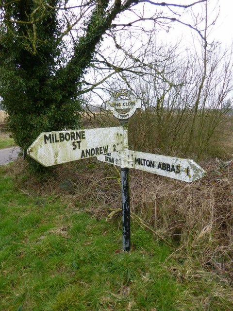
///myth.tolls.overpower. Near Milborne St Andrew, Dorset

Related Wikis

Milton Abbey School

Milton Abbey school is an independent school for day and boarding pupils in the village of Milton Abbas, near Blandford Forum in Dorset, in South West...
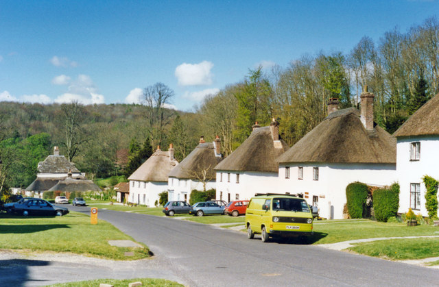
Milton Abbas

Milton Abbas is a village and civil parish in Dorset, England, lying around 5 miles (8 kilometres) southwest of Blandford Forum. In the 2011 Census the...
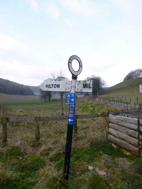
Hilton, Dorset

Hilton is a village and civil parish in the county of Dorset in southern England. It is sited at an elevation of 135 metres (443 feet) in a small valley...

Delcombe Manor

Delcombe Manor is a Grade II*-listed manor in Milton Abbas, Dorset, England. == History == The manor was built circa 1750 using flint and stone from Milton...

Nearby Amenities

Located within 500m of 50.821885,-2.2875125
Entrance: yes
Lat/Long: 50.8197945/-2.2879983
The data included in this document is from www.openstreetmap.org. The data is made available under ODbL.

Have you been to The Abbey Park?

Leave your review of The Abbey Park below (or comments, questions and feedback).