Melmoth's Hill
Hill, Mountain in Dorset
England
Melmoth's Hill
Melmoth's Hill is a prominent geographical feature located in the county of Dorset, England. Although referred to as a hill, it is often considered more of a modestly sized mountain due to its elevation and steep slopes. Situated in the heart of the picturesque Dorset Downs, Melmoth's Hill boasts an impressive height of approximately 250 meters above sea level.
The hill is characterized by its distinctive shape, with its summit forming a gentle curve that stretches across a length of about 1.5 kilometers. The slopes of Melmoth's Hill are covered in lush green grass and dotted with patches of vibrant wildflowers during the summer months, creating a breathtaking landscape. The hillside is also home to a variety of indigenous flora and fauna, including rare species of butterflies and birds.
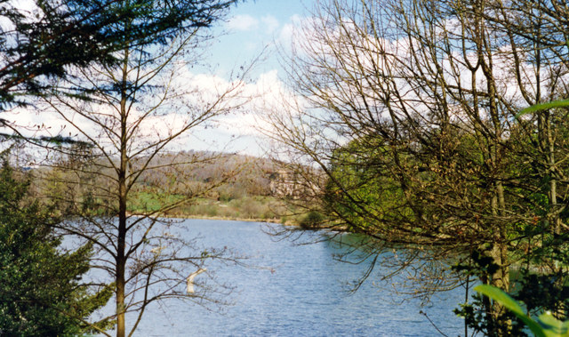
Melmoth's Hill offers breathtaking panoramic views of the surrounding countryside, with vistas stretching as far as the eye can see. On a clear day, visitors can marvel at the beauty of the Dorset Downs, the rolling hills, and the quaint villages nestled in the valleys below. The hill is a popular destination for hikers, nature enthusiasts, and photographers who are drawn to its natural beauty and tranquility.
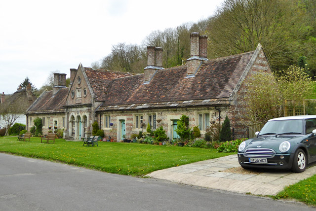
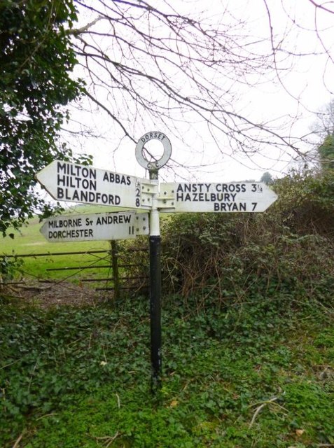
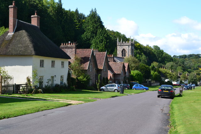
Access to Melmoth's Hill is relatively easy, with a network of well-maintained footpaths and trails leading to its summit. The hill is also conveniently located near several villages, providing visitors with ample opportunities to explore the local culture and cuisine.
Overall, Melmoth's Hill is a stunning natural landmark that captures the essence of the Dorset countryside. Its serene beauty and panoramic views make it a must-visit destination for anyone seeking to immerse themselves in the idyllic charm of rural England.
If you have any feedback on the listing, please let us know in the comments section below.
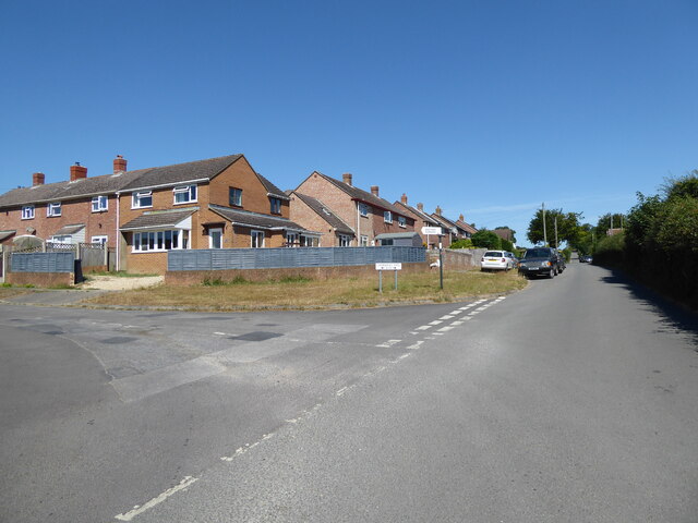
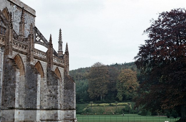
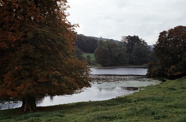
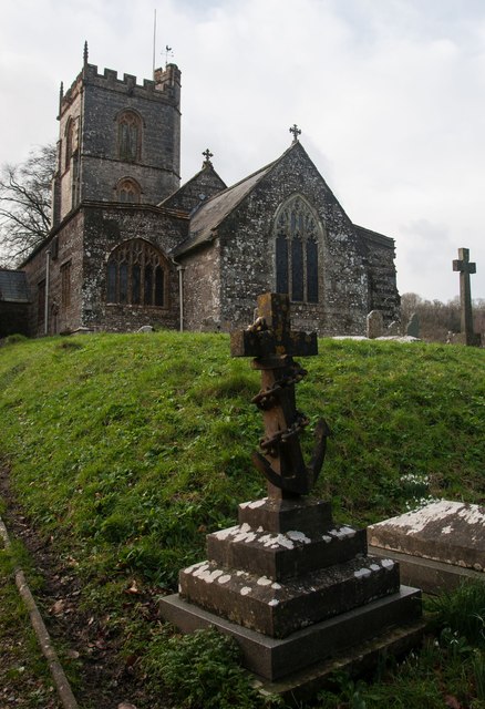
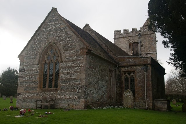
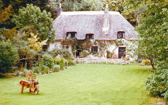
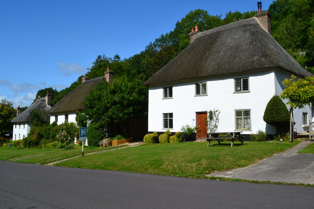
Melmoth's Hill Images
Images are sourced within 2km of 50.81807/-2.2991577 or Grid Reference ST7902. Thanks to Geograph Open Source API. All images are credited.

Melmoth's Hill is located at Grid Ref: ST7902 (Lat: 50.81807, Lng: -2.2991577)
Unitary Authority: Dorset
Police Authority: Dorset
What 3 Words
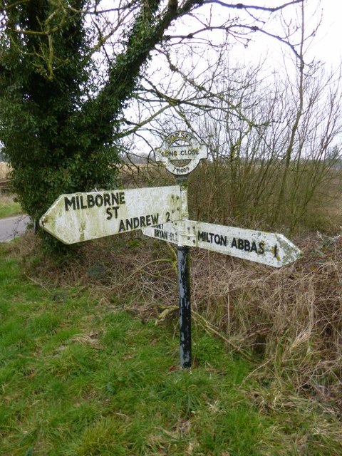
///spurned.yummy.pizzas. Near Milborne St Andrew, Dorset
Nearby Locations
Related Wikis
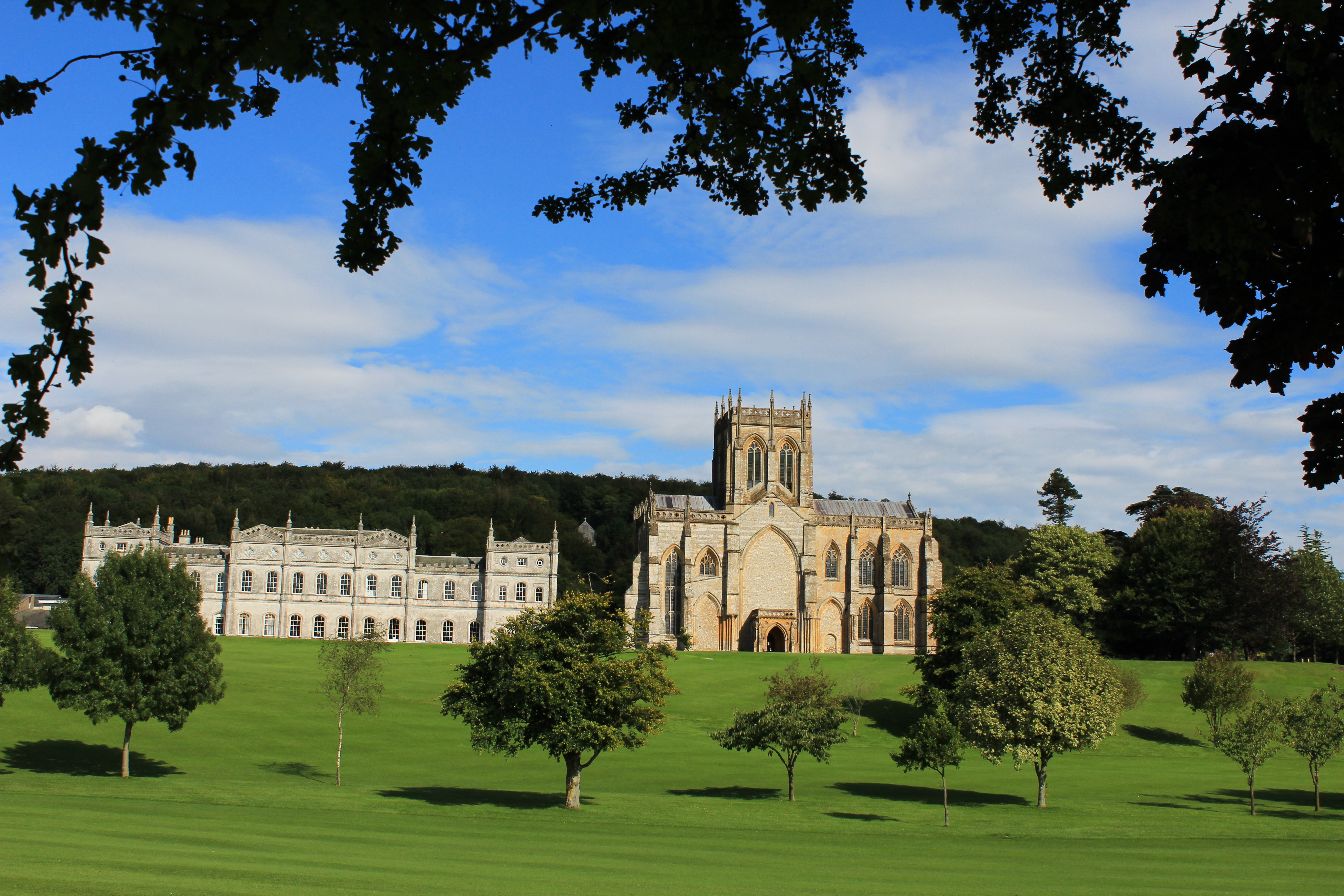
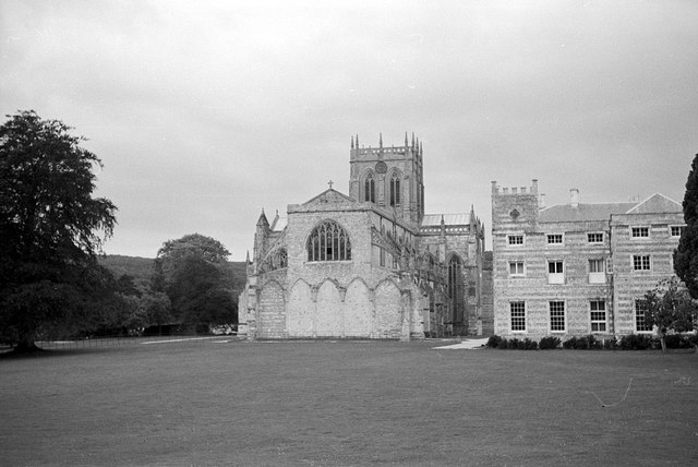
Milton Abbey School
Milton Abbey school is an independent school for day and boarding pupils in the village of Milton Abbas, near Blandford Forum in Dorset, in South West...

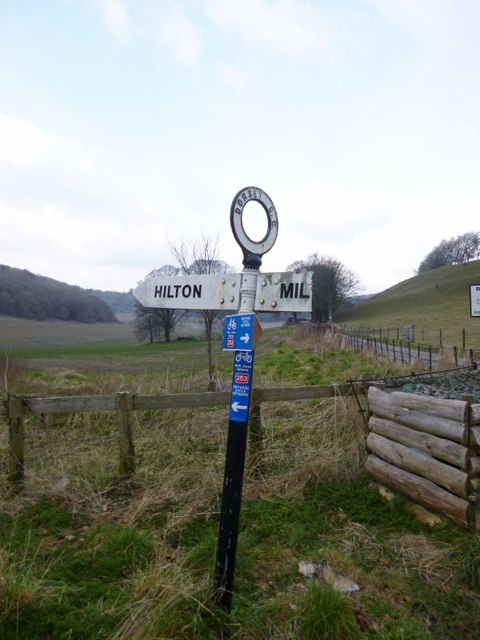
Hilton, Dorset
Hilton is a village and civil parish in the county of Dorset in southern England. It is sited at an elevation of 135 metres (443 feet) in a small valley...

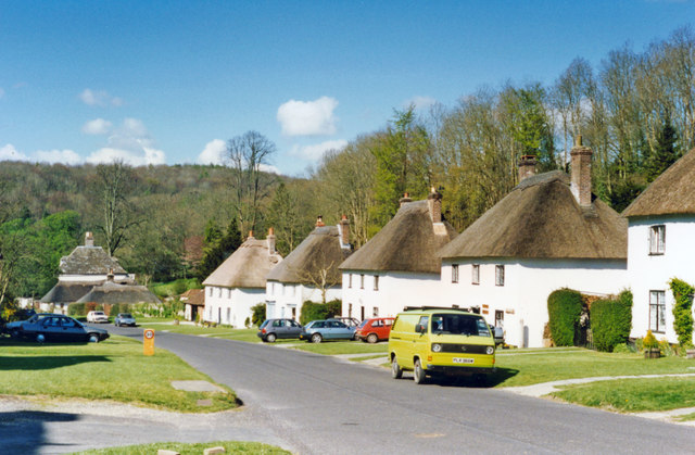
Milton Abbas
Milton Abbas is a village and civil parish in Dorset, England, lying around 5 miles (8 kilometres) southwest of Blandford Forum. In the 2011 Census the...

Dorset (district)
Dorset is a unitary authority area, existing since 1 April 2019, in the ceremonial county of Dorset, England. It covers all of the ceremonial county except...
Nearby Amenities
Located within 500m of 50.81807,-2.2991577Have you been to Melmoth's Hill?
Leave your review of Melmoth's Hill below (or comments, questions and feedback).