Thomas's Hill Plantation
Wood, Forest in Dorset
England
Thomas's Hill Plantation
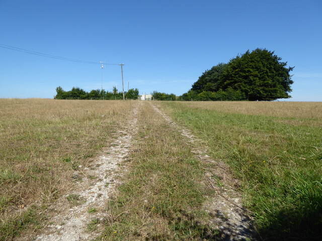
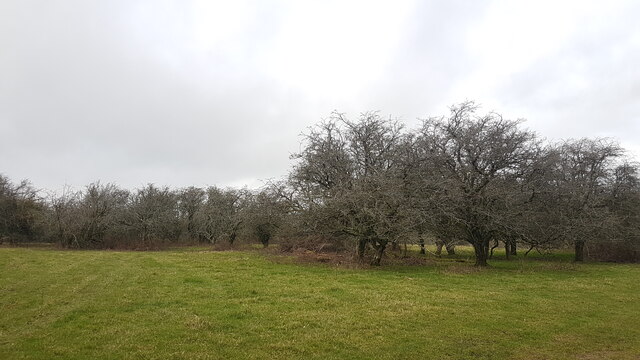
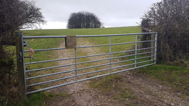
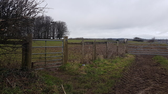
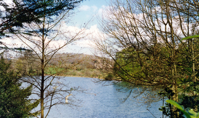
Thomas's Hill Plantation is a historic estate located in Dorset, England. Nestled within a lush and sprawling woodland area, the plantation is known for its serene and picturesque setting. The estate covers a vast area of land, encompassing acres of dense forest and verdant greenery.
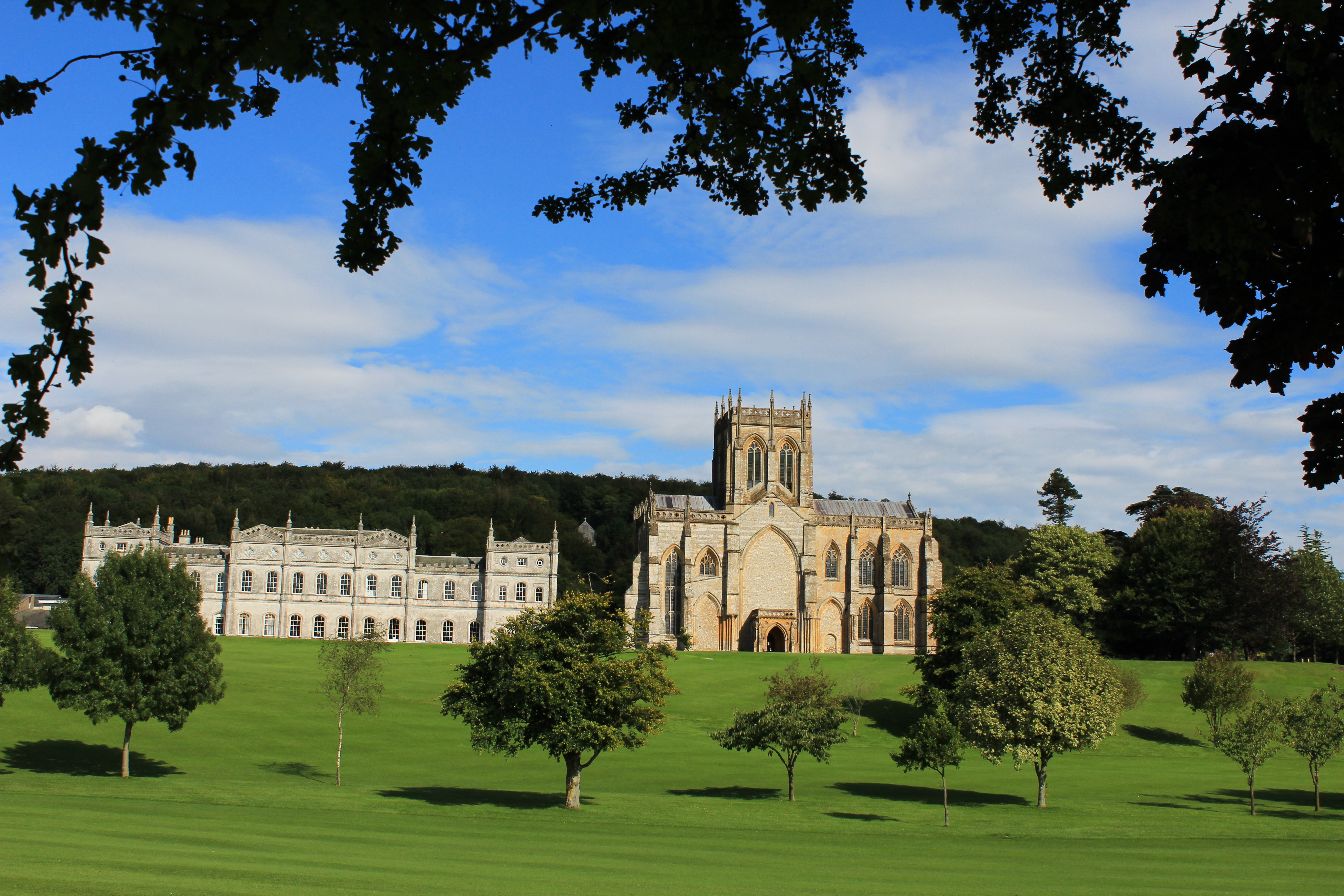
The plantation is named after its original owner, Thomas, who established the estate in the early 19th century. The main feature of the plantation is a grand manor house, which stands proudly amidst the surrounding natural beauty. The house boasts a classic Georgian architectural style, with its symmetrical layout and elegant proportions.
Surrounding the manor house are meticulously landscaped gardens, showcasing a variety of colorful flowers and well-maintained lawns. The gardens provide a tranquil retreat for visitors, offering an opportunity to appreciate the beauty of nature.
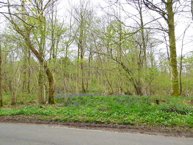
The forested areas of Thomas's Hill Plantation are rich in biodiversity, housing a diverse range of flora and fauna. The woodland is home to numerous species of trees, including oak, beech, and pine, creating a vibrant and diverse ecosystem.
Visitors to the estate can explore the many walking trails that wind through the forest, providing a chance to immerse themselves in nature and enjoy the peaceful surroundings. The plantation also offers various recreational activities, such as birdwatching and picnicking, making it a popular destination for nature enthusiasts and families alike.
Thomas's Hill Plantation is not only a place of natural beauty but also holds historical significance, showcasing the rich heritage of the region. It serves as a testament to the timeless charm of the English countryside and offers a glimpse into the past.
If you have any feedback on the listing, please let us know in the comments section below.
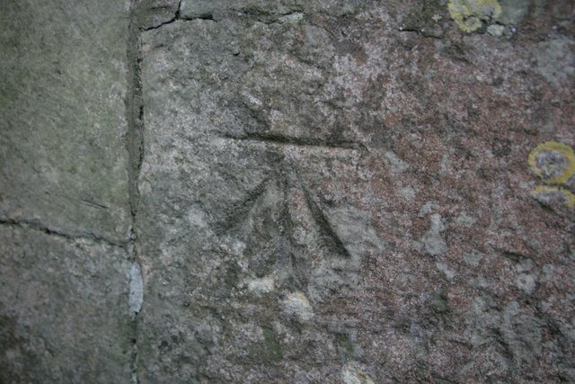
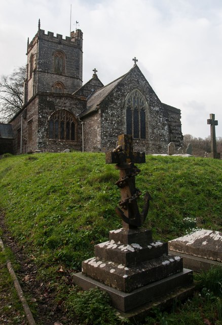
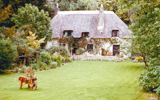
Thomas's Hill Plantation Images
Images are sourced within 2km of 50.8241/-2.2937587 or Grid Reference ST7902. Thanks to Geograph Open Source API. All images are credited.

Thomas's Hill Plantation is located at Grid Ref: ST7902 (Lat: 50.8241, Lng: -2.2937587)
Unitary Authority: Dorset
Police Authority: Dorset
What 3 Words
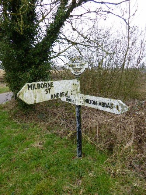
///clearly.convinces.detection. Near Milborne St Andrew, Dorset
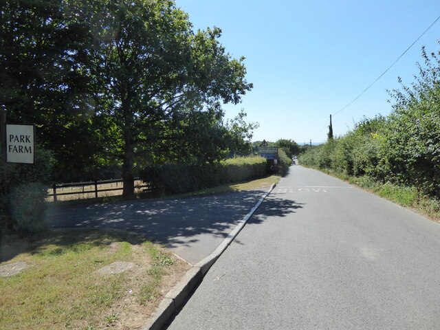
Nearby Locations
Related Wikis
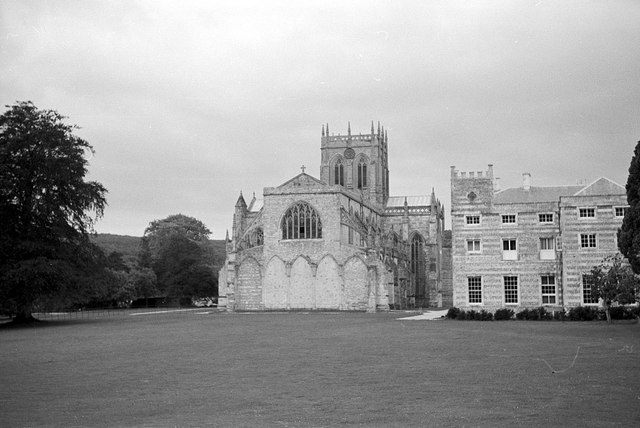
Milton Abbey School
Milton Abbey school is an independent school for day and boarding pupils in the village of Milton Abbas, near Blandford Forum in Dorset, in South West...

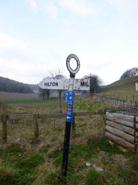
Hilton, Dorset
Hilton is a village and civil parish in the county of Dorset in southern England. It is sited at an elevation of 135 metres (443 feet) in a small valley...

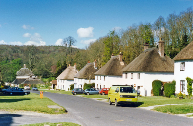
Milton Abbas
Milton Abbas is a village and civil parish in Dorset, England, lying around 5 miles (8 kilometres) southwest of Blandford Forum. In the 2011 Census the...

Delcombe Manor
Delcombe Manor is a Grade II*-listed manor in Milton Abbas, Dorset, England. == History == The manor was built circa 1750 using flint and stone from Milton...

Ansty, Dorset
Ansty is a village in Dorset, England, north of Cheselbourne and west of Milton Abbas. It consists of the settlements of Higher Ansty, Lower Ansty, Pleck...

Dorset (district)
Dorset is a unitary authority area, existing since 1 April 2019, in the ceremonial county of Dorset, England. It covers all of the ceremonial county except...

Dorset
Dorset ( DOR-sit; archaically: Dorsetshire DOR-sit-sheer, -shər) is a ceremonial county in South West England. It is bordered by Somerset to the north...

Winterborne Houghton
Winterborne Houghton is a village and civil parish in north Dorset, England. It is situated in a winterbourne valley on the Dorset Downs, five miles (eight...
Nearby Amenities
Located within 500m of 50.8241,-2.2937587Have you been to Thomas's Hill Plantation?
Leave your review of Thomas's Hill Plantation below (or comments, questions and feedback).