West Common
Downs, Moorland in Durham
England
West Common
West Common, Durham, also known as Downs or Moorland, is a vast area of open land located in the northeast of England. Situated near the city of Durham, it spans over a large area, covering approximately 700 acres of beautiful natural landscape.
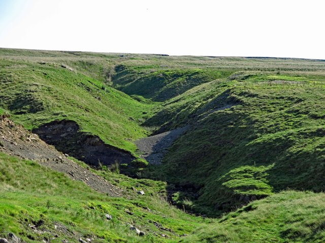
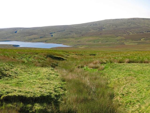
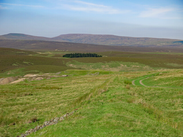
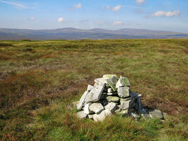
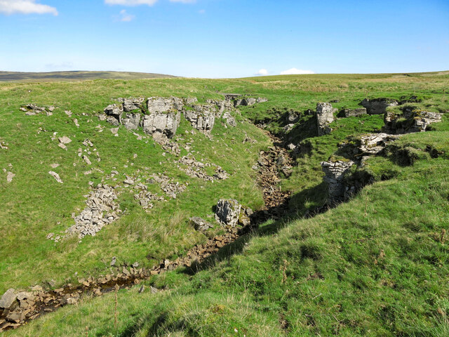
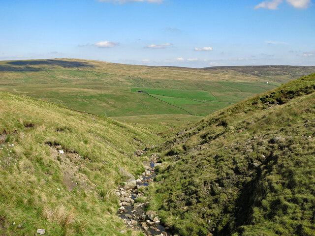
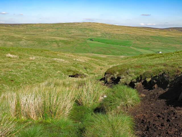
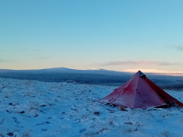
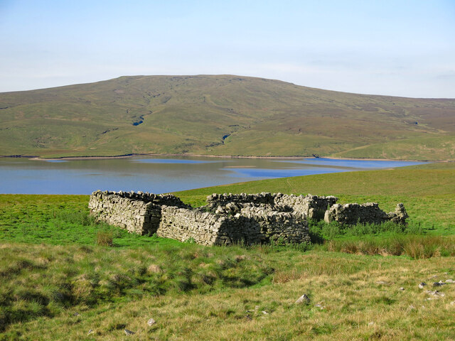
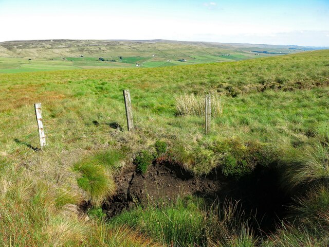
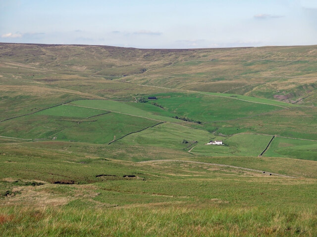
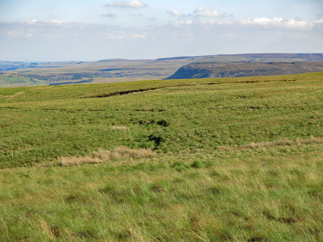
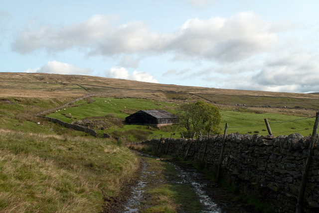
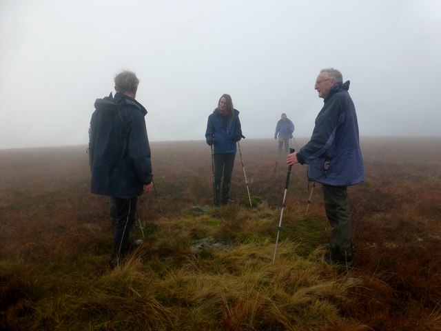
West Common is characterized by its diverse terrain, which includes rolling hills, grassy plains, and heathland. The area is surrounded by picturesque countryside, offering breathtaking views of the surrounding valleys and woodlands. This makes it a popular destination for both locals and tourists who seek tranquility and a place to connect with nature.
The common is home to a rich variety of flora and fauna. Visitors can expect to encounter a range of wildlife, including rabbits, squirrels, and various bird species. The open landscape also provides an ideal habitat for wildflowers, which bloom in abundance during the spring and summer months, adding to the area's natural beauty.
In addition to its natural attractions, West Common offers several recreational activities for visitors to enjoy. The vast expanse of land makes it an ideal location for walking, hiking, and picnicking. Many people also use the common for horse riding and cycling, taking advantage of the numerous trails that crisscross the area.
Overall, West Common, Durham is a stunning natural landscape that provides a peaceful escape from the bustling city life. Whether visitors come to explore the diverse terrain, observe wildlife, or engage in outdoor activities, this expansive common offers a truly immersive experience in nature.
If you have any feedback on the listing, please let us know in the comments section below.
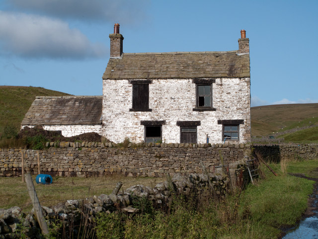
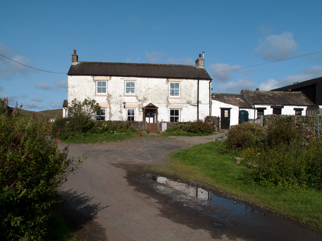
West Common Images
Images are sourced within 2km of 54.692358/-2.3153165 or Grid Reference NY7933. Thanks to Geograph Open Source API. All images are credited.
West Common is located at Grid Ref: NY7933 (Lat: 54.692358, Lng: -2.3153165)
Unitary Authority: County Durham
Police Authority: Durham
What 3 Words
///helped.elevator.everybody. Near Holwick, Co. Durham
Nearby Locations
Related Wikis
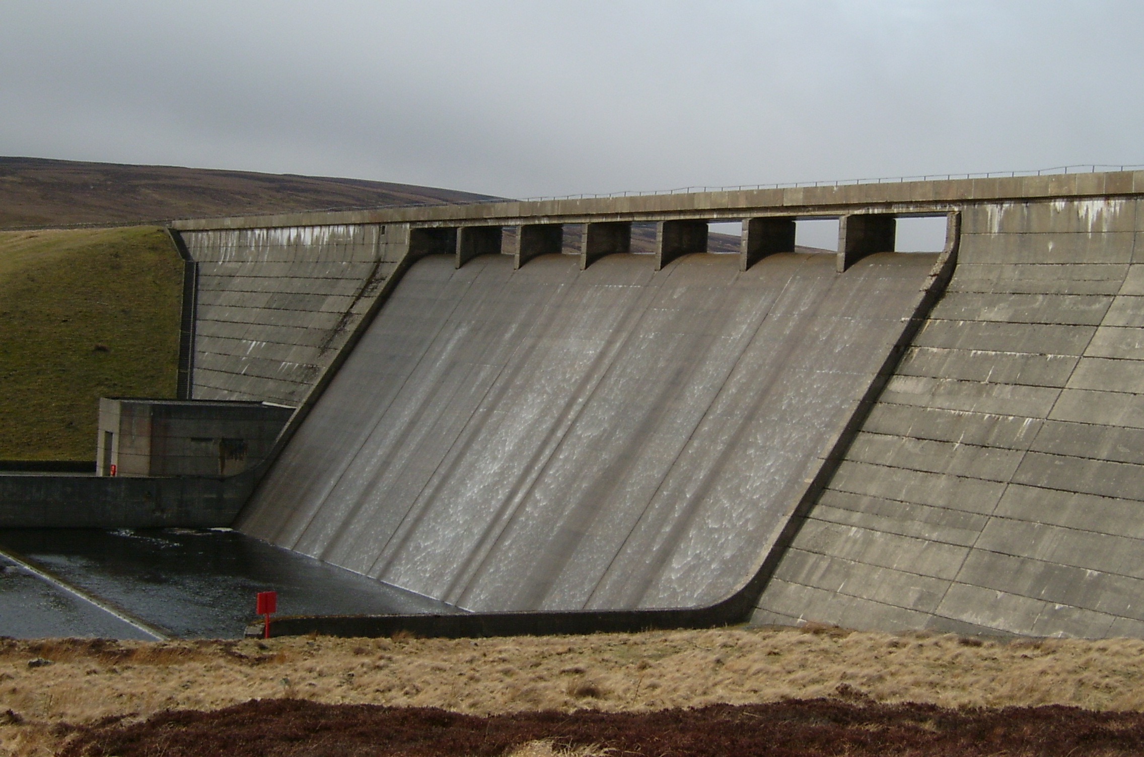
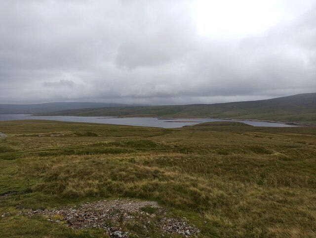
Cow Green Reservoir
Cow Green Reservoir is a 2-mile (3 km) long water reservoir forming part of the border between the historic counties of Westmorland and County Durham in...

Upper Teesdale
Upper Teesdale is a Site of Special Scientific Interest (SSSI) in the west County Durham, England. It encompasses an extensive upland area that includes...

Harwood, County Durham
Harwood is a small valley and village near the head of Teesdale. Harwood Beck is a tributary of the River Tees in County Durham which forms a short valley...

Cauldron Snout
Cauldron Snout is a cascade on the upper reaches of the River Tees in Northern England, immediately below the dam of the Cow Green Reservoir. It is well...
Nearby Amenities
Located within 500m of 54.692358,-2.3153165Have you been to West Common?
Leave your review of West Common below (or comments, questions and feedback).