Greenhurth Moss

Downs, Moorland in Durham

England

Greenhurth Moss

Long Gill Sike under moonlight Long Gill Sike drains part of the south side of Harwood Common, its southern slope rises to the left out of the image. The stream is a tributary of Harwood Beck, itself a major feeder of the River Tees.
The moon in the image is almost full - the full moon came the day after the photograph was taken.
The image  was made at 16:02; although there was residual light in the sky from the sun, it had dipped below the local horizon well before the actual sunset which on this day at Forest-in-Teesdale had been at 15:43.
Long Gill Sike under moonlight Credit: Trevor Littlewood

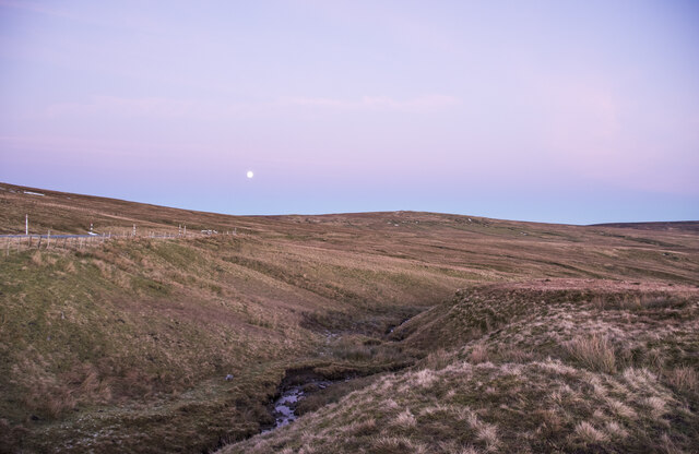
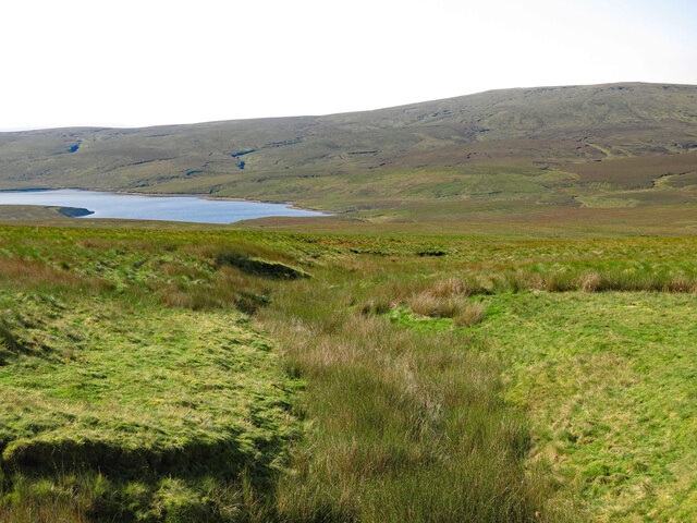
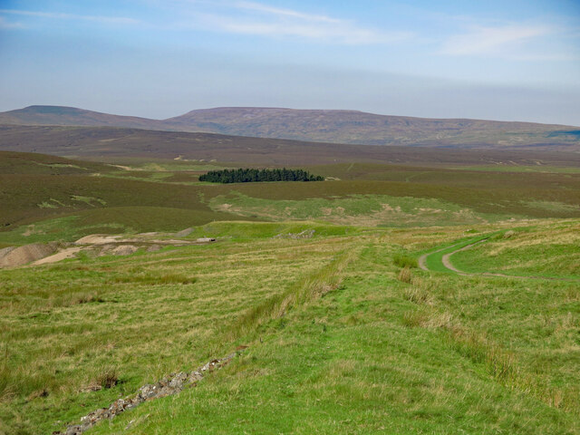
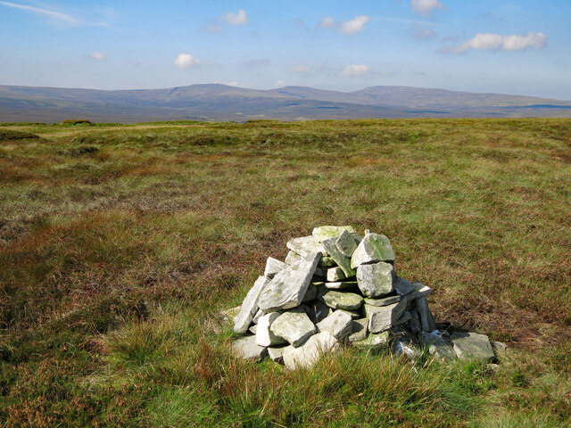
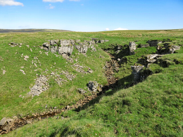
Greenhurth Moss is a vast expanse of moorland located in Durham, England. Stretching across an area of about 200 acres, it is a prominent natural feature in the region. The moss is characterized by its lush green vegetation, comprising of various types of mosses, heathers, and grasses.

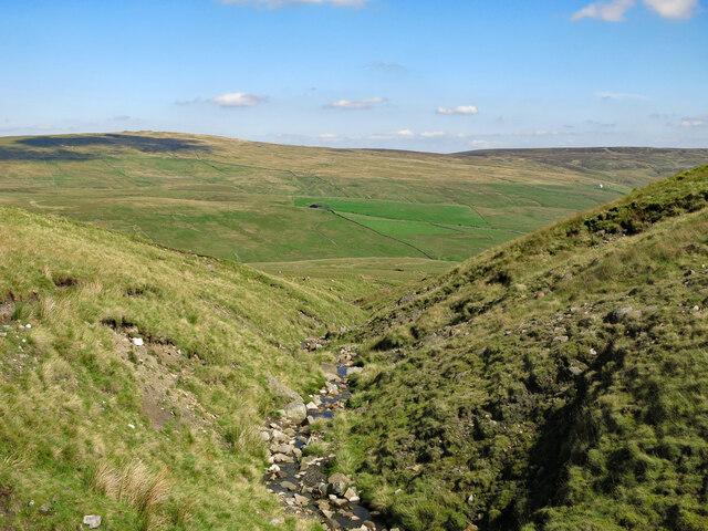
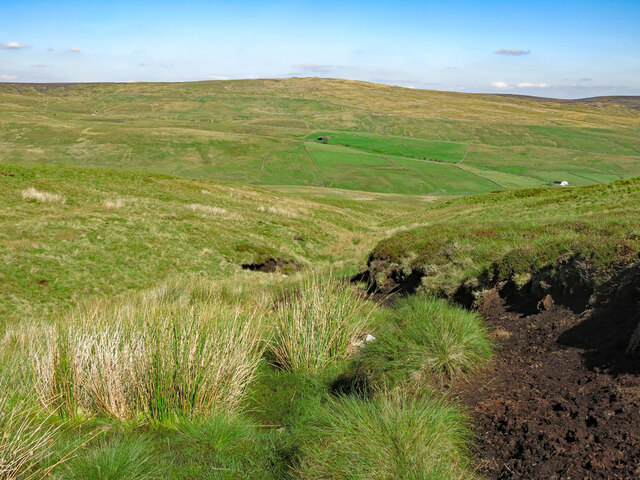
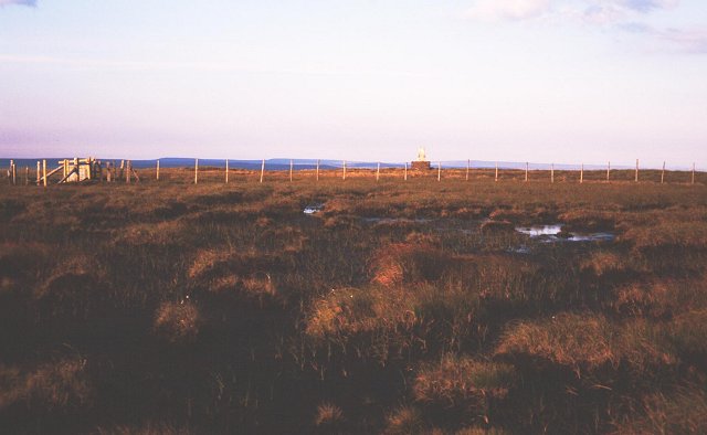
Situated in the heart of the Durham Downs, Greenhurth Moss offers a unique and picturesque landscape. The undulating terrain is interspersed with small ponds and wetland areas, creating a diverse ecosystem that supports a rich array of wildlife. It is particularly renowned for its bird population, with species such as curlews, lapwings, and red grouse commonly sighted in the area.

Greenhurth Moss holds great importance for conservation and ecological preservation. The moorland acts as a natural carbon sink, absorbing atmospheric CO2 and helping to mitigate the impacts of climate change. Additionally, it serves as a habitat for several rare and endangered plant species, contributing to the overall biodiversity of the region.

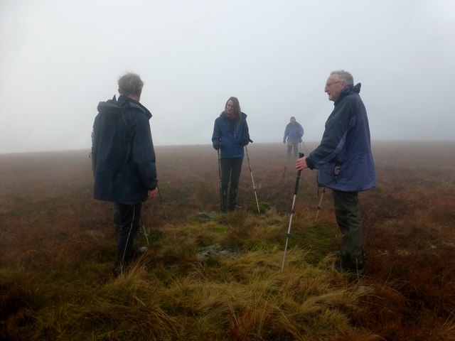
The moss is a popular destination for nature enthusiasts, birdwatchers, and hikers. Several well-maintained trails crisscross the area, allowing visitors to explore the diverse flora and fauna while enjoying stunning panoramic views of the surrounding countryside. The peaceful and tranquil atmosphere of Greenhurth Moss makes it an ideal spot for relaxation and contemplation amidst nature.

Overall, Greenhurth Moss is an invaluable natural asset in Durham, providing not only a visually captivating landscape but also playing a vital role in environmental conservation and preservation.

If you have any feedback on the listing, please let us know in the comments section below.

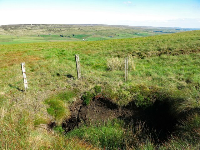
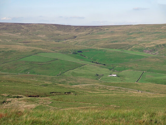
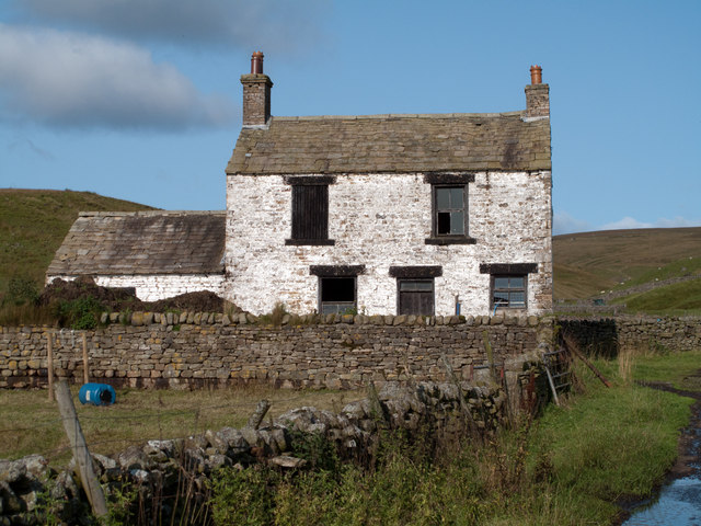
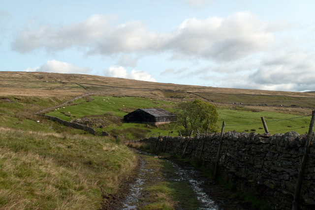
Greenhurth Moss Images

Images are sourced within 2km of 54.70045/-2.3238981 or Grid Reference NY7933. Thanks to Geograph Open Source API. All images are credited.

Long Gill Sike under moonlight Long Gill Sike drains part of the south side of Harwood Common, its southern slope rises to the left out of the image. The stream is a tributary of Harwood Beck, itself a major feeder of the River Tees.
The moon in the image is almost full - the full moon came the day after the photograph was taken.
The image  was made at 16:02; although there was residual light in the sky from the sun, it had dipped below the local horizon well before the actual sunset which on this day at Forest-in-Teesdale had been at 15:43.
Long Gill Sike under moonlight
Long Gill Sike drains part of the south side of Harwood Common, its southern slope rises to the left out of the image. The stream is a tributary of Harwood Beck, itself a major feeder of the River Tees. The moon in the image is almost full - the full moon came the day after the photograph was taken. The image was made at 16:02; although there was residual light in the sky from the sun, it had dipped below the local horizon well before the actual sunset which on this day at Forest-in-Teesdale had been at 15:43.
Sledge Sike
Sledge Sike
Former waggonway, Greenhurth Mine
Cairn on Herdship Fell Looking south of west towards (left to right) Great Dun Fell, Little Dun Fell and Cross Fell.
Cairn on Herdship Fell
Looking south of west towards (left to right) Great Dun Fell, Little Dun Fell and Cross Fell.
Smithy Sike and rock outcrops at the Holdenhurth Band
Crook Burn
Crook Burn
Shake hole above the Howl of Harwood
Greencomb Sike
Greencomb Sike
Slate Sike
Slate Sike
Viewing hill Great views from Viewing hill
Viewing hill
Great views from Viewing hill
Disused mine shaft near Petergill Sike
The upper valley of Harwood Beck Looking north from Bleak Law past Frog Hall (half right) towards Dale Head.
The upper valley of Harwood Beck
Looking north from Bleak Law past Frog Hall (half right) towards Dale Head.
Hill End Hill End would be thought by most to lie in upper Teesdale but it actually lies in the valley of the Harwood Beck. As can be seen, it's unoccupied and is deteriorating.
Hill End
Hill End would be thought by most to lie in upper Teesdale but it actually lies in the valley of the Harwood Beck. As can be seen, it's unoccupied and is deteriorating.
Dale Head The black building is a barn at Dale Head, by appearance it's still in use. To the left of the barn is a pile of rubble - presumably the remains of the farmhouse.
Dale Head
The black building is a barn at Dale Head, by appearance it's still in use. To the left of the barn is a pile of rubble - presumably the remains of the farmhouse.
Herdship Fell Curry Stool Party Rob Woodall completed the set of all 9 Curry Stool trigs, in company of George, Doug, Martin, Rick and Jenny, Sue and Trevor on Herdship Fell. In keeping with the curry theme, at the summit we shared a bottle of Cobra beer, a bag of poppadom crisps and afterwards a nice curry in the Teesdale Hotel, Middleton.  This photo shows Rob, Jenny and Martin standing on one of the three legs of a curry stool.
Herdship Fell Curry Stool Party
Rob Woodall completed the set of all 9 Curry Stool trigs, in company of George, Doug, Martin, Rick and Jenny, Sue and Trevor on Herdship Fell. In keeping with the curry theme, at the summit we shared a bottle of Cobra beer, a bag of poppadom crisps and afterwards a nice curry in the Teesdale Hotel, Middleton. This photo shows Rob, Jenny and Martin standing on one of the three legs of a curry stool.
Herdship Fell Curry Stool A view of the centre of Herdship Fell Curry Stool.  
A curry stool is a type of survey mark used in peaty areas where a pillar would sink and natural rock was not available. The concrete, in the form of three arms meeting at a central point, sits on the peat and it was hoped to be a stable platform. They are named after Corporal Curry of the Royal Engineers.
Herdship Fell Curry Stool
A view of the centre of Herdship Fell Curry Stool. A curry stool is a type of survey mark used in peaty areas where a pillar would sink and natural rock was not available. The concrete, in the form of three arms meeting at a central point, sits on the peat and it was hoped to be a stable platform. They are named after Corporal Curry of the Royal Engineers.
Heading down Spitley Tongue This good track, which is probably a county road, heads downhill towards the first inhabited houses in the upper dale at Herdship. Old spoil heap visible in the valley bottom near the beck.
Heading down Spitley Tongue
This good track, which is probably a county road, heads downhill towards the first inhabited houses in the upper dale at Herdship. Old spoil heap visible in the valley bottom near the beck.
Along Harwood Beck Looking upstream along the infant beck, which has carved its way through soft shales.
Along Harwood Beck
Looking upstream along the infant beck, which has carved its way through soft shales.
Show me another place!

Greenhurth Moss is located at Grid Ref: NY7933 (Lat: 54.70045, Lng: -2.3238981)

Unitary Authority: County Durham

Police Authority: Durham

What 3 Words

///heckler.asserts.strutted. Near Holwick, Co. Durham

Related Wikis

Burnhope Seat

Burnhope Seat is a high moorland fell in the North Pennines Area of Outstanding Natural Beauty (AONB) in northern England. It lies between the heads of...
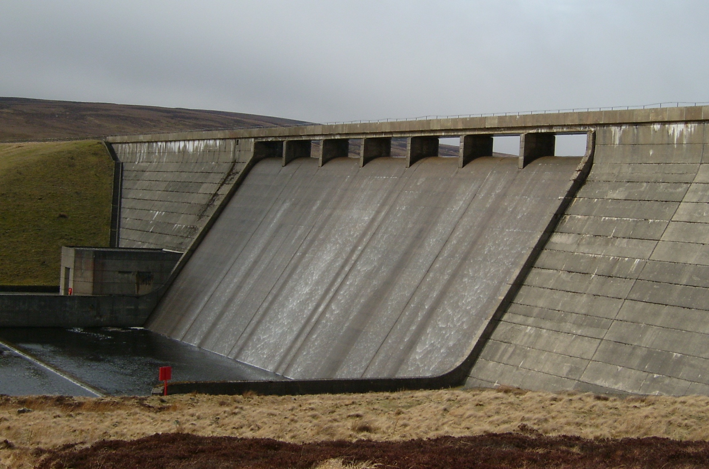
Cow Green Reservoir

Cow Green Reservoir is a 2-mile (3 km) long water reservoir forming part of the border between the historic counties of Westmorland and County Durham in...

Upper Teesdale

Upper Teesdale is a Site of Special Scientific Interest (SSSI) in the west County Durham, England. It encompasses an extensive upland area that includes...

Harwood, County Durham

Harwood is a small valley and village near the head of Teesdale. Harwood Beck is a tributary of the River Tees in County Durham which forms a short valley...

Nearby Amenities

Located within 500m of 54.70045,-2.3238981
Greenhurth Moss
Place: locality
Lat/Long: 54.7001424/-2.3245111
The data included in this document is from www.openstreetmap.org. The data is made available under ODbL.

Have you been to Greenhurth Moss?

Leave your review of Greenhurth Moss below (or comments, questions and feedback).