Toddie Brae
Downs, Moorland in Kincardineshire
Scotland
Toddie Brae
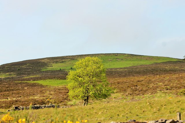
Toddy Brae, located in Kincardineshire, Scotland, is a picturesque area known for its stunning downs and moorland landscapes. Situated amidst the breathtaking countryside, this region offers visitors a serene and tranquil escape from the bustling city life.
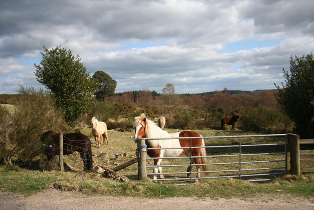
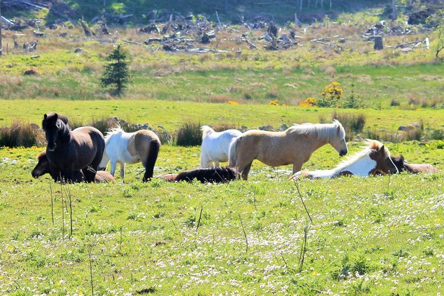
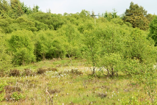
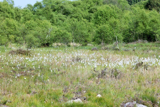
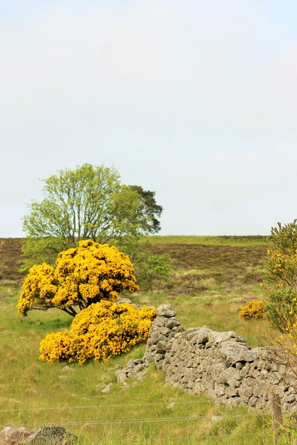
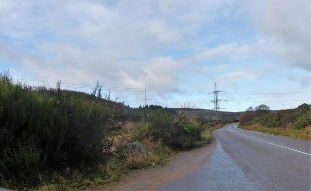
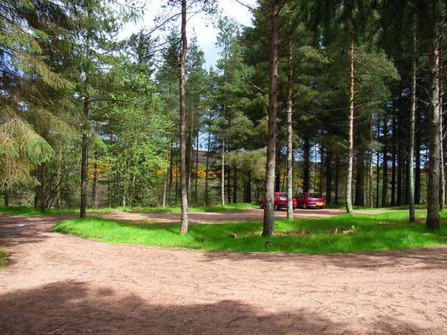
The downs of Toddie Brae are characterized by their gently rolling hills covered in lush green grasses and scattered with wildflowers. The undulating terrain provides breathtaking panoramic views of the surrounding area, with the distant mountains adding to the charm of the landscape. These downs are often used for recreational activities such as hiking, walking, and picnicking, attracting both locals and tourists alike.
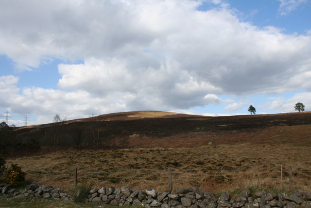
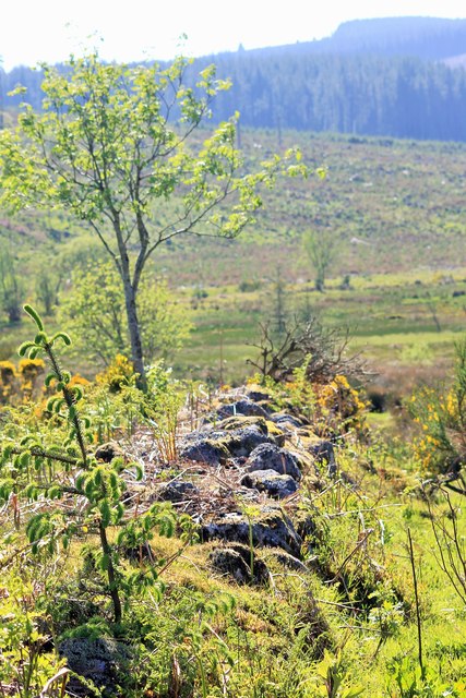
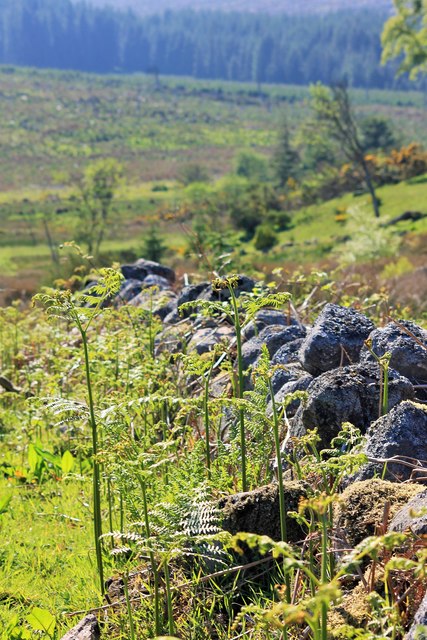
The moorland of Toddie Brae is another notable feature of this area. Covered in heather, gorse, and other native plant species, the moorland presents a striking contrast to the downs. The rugged and open terrain is home to a variety of wildlife, including birds, rabbits, and occasionally deer. Nature enthusiasts can explore the moorland through guided walks or simply take in the beauty of the untouched wilderness.
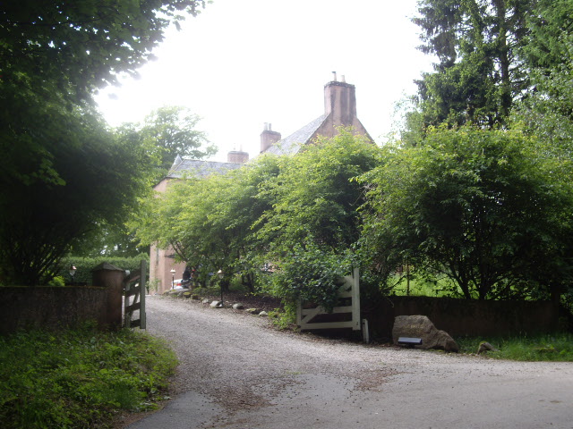
In addition to its natural beauty, Toddie Brae is also known for its historical landmarks and cultural heritage. The nearby village is a hub of traditional Scottish architecture, with charming cottages and historic buildings. Visitors can immerse themselves in the local culture by exploring the village's shops, cafes, and museums, which showcase the area's rich history.
Overall, Toddie Brae in Kincardineshire offers a delightful experience for nature lovers, history enthusiasts, and anyone seeking a peaceful retreat amidst stunning Scottish countryside.
If you have any feedback on the listing, please let us know in the comments section below.
Toddie Brae Images
Images are sourced within 2km of 56.983986/-2.33482 or Grid Reference NO7988. Thanks to Geograph Open Source API. All images are credited.


Toddie Brae is located at Grid Ref: NO7988 (Lat: 56.983986, Lng: -2.33482)
Unitary Authority: Aberdeenshire
Police Authority: North East
What 3 Words
///improvise.costs.collide. Near Stonehaven, Aberdeenshire
Nearby Locations
Related Wikis
Mergie
Mergie is a settlement in Aberdeenshire approximately six miles west of Stonehaven, Scotland. Situated in the former Kincardineshire slightly south of...

Rickarton
Rickarton is a settlement in Aberdeenshire. It is situated on the A957 to the northwest of Stonehaven. Rickarton was served by the 105 bus between Stonehaven...

Cryne Corse Mounth
Cryne Corse Mounth is an old droving road which ran south across the high ground from the Dee valley in Aberdeenshire, eastern Scotland. Much of the route...
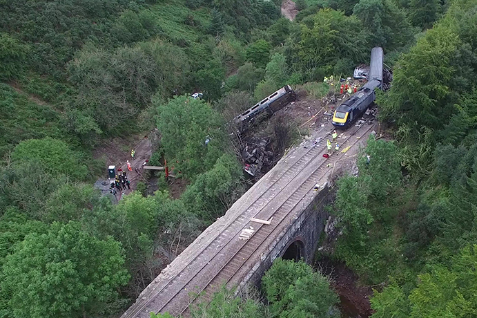
Stonehaven derailment
The Stonehaven derailment was a fatal railway accident that occurred at 09:38 BST on 12 August 2020, when a passenger train returning to Aberdeen hit a...
Nearby Amenities
Located within 500m of 56.983986,-2.33482Have you been to Toddie Brae?
Leave your review of Toddie Brae below (or comments, questions and feedback).