Badger Wells

Downs, Moorland in Lancashire Ribble Valley

England

Badger Wells

View over Pendleton Moor Looking north along the Clitheroe Road. A public right of way starts at this point and heads north west to Pendleton. Pendle Hill is away to the east, just out of shot.
View over Pendleton Moor Credit: Marika Reinholds

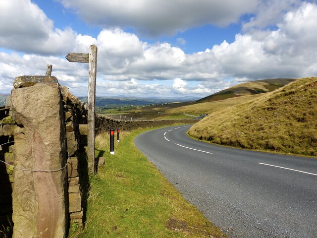
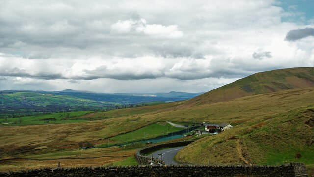
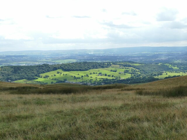
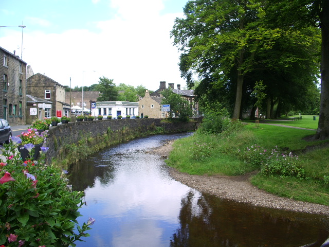
Badger Wells is a small village located in the county of Lancashire, England. Positioned in the picturesque region known as the Downs, the village enjoys a tranquil setting surrounded by rolling hills and lush green landscapes. Its name is derived from the presence of badger setts that can be found in the area, adding to its unique charm.

The village of Badger Wells is predominantly rural, with a population of around 500 residents. It is known for its close-knit community and friendly atmosphere. The local economy primarily relies on agriculture, with many residents involved in farming and livestock rearing. The fertile soil of the Downs provides ideal conditions for farming, and the village is particularly known for its dairy products, which are highly regarded in the region.

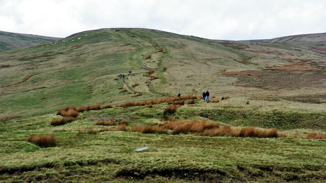
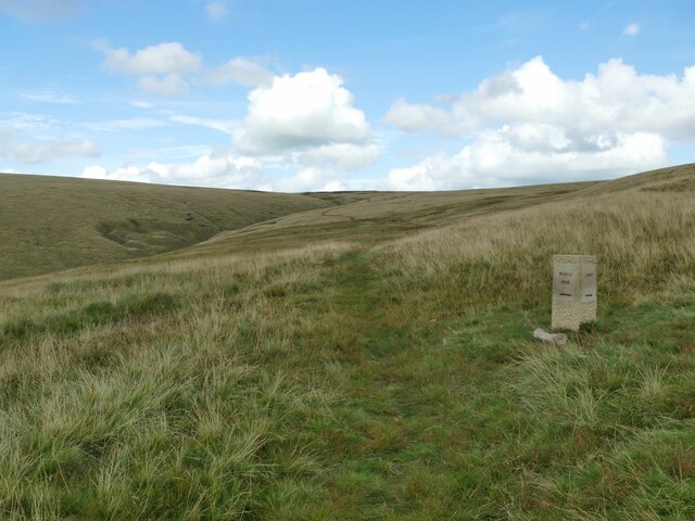
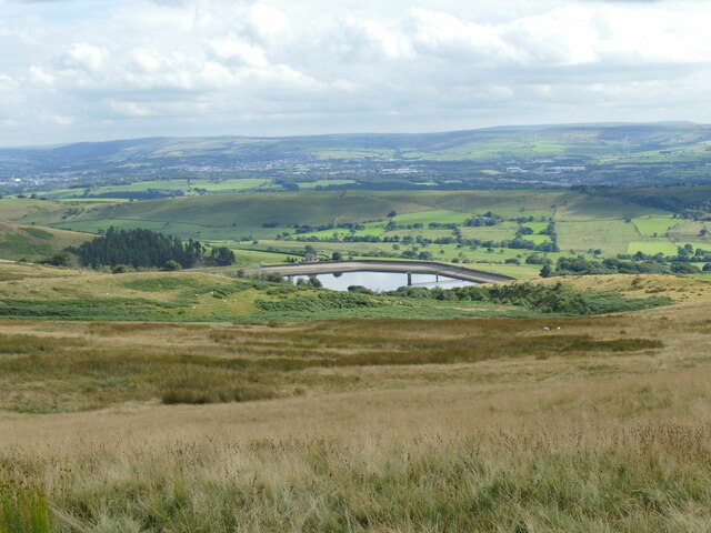
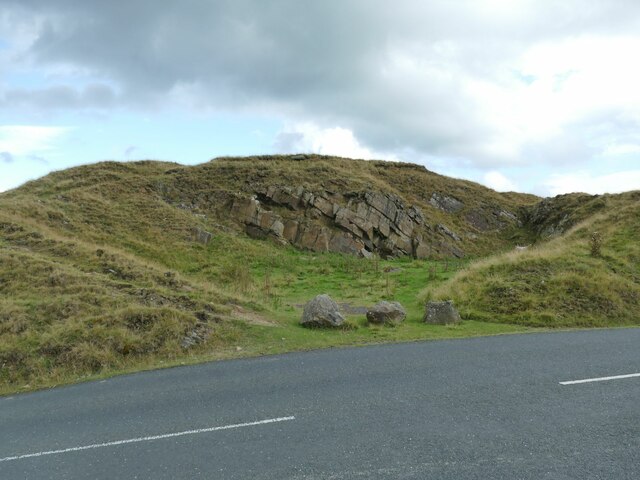
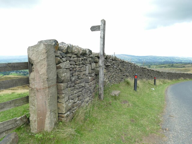
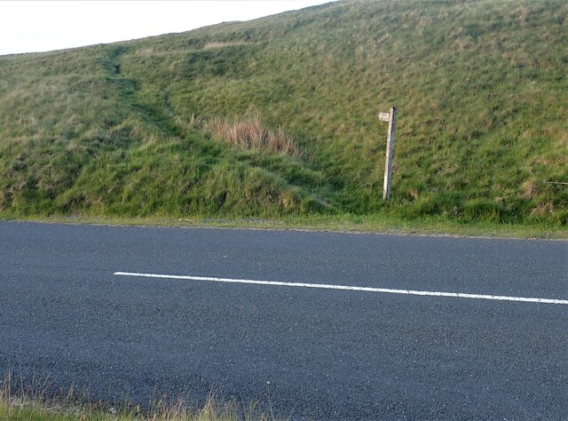
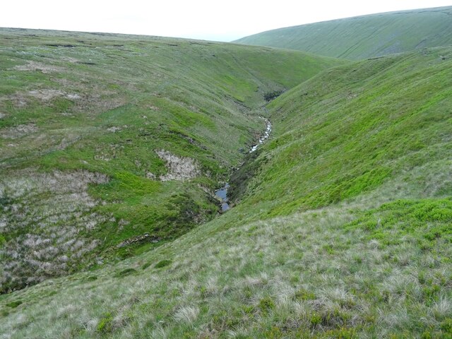
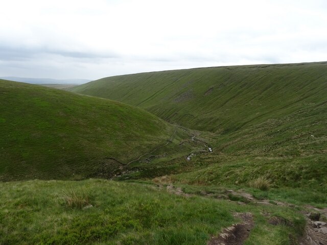
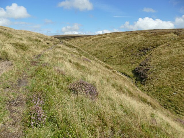
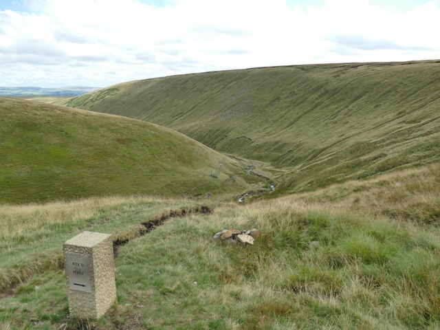
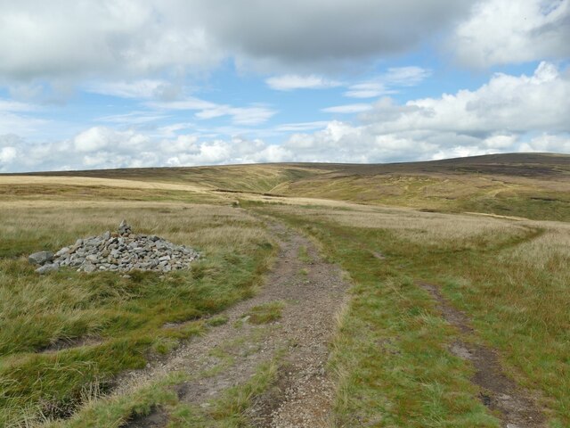
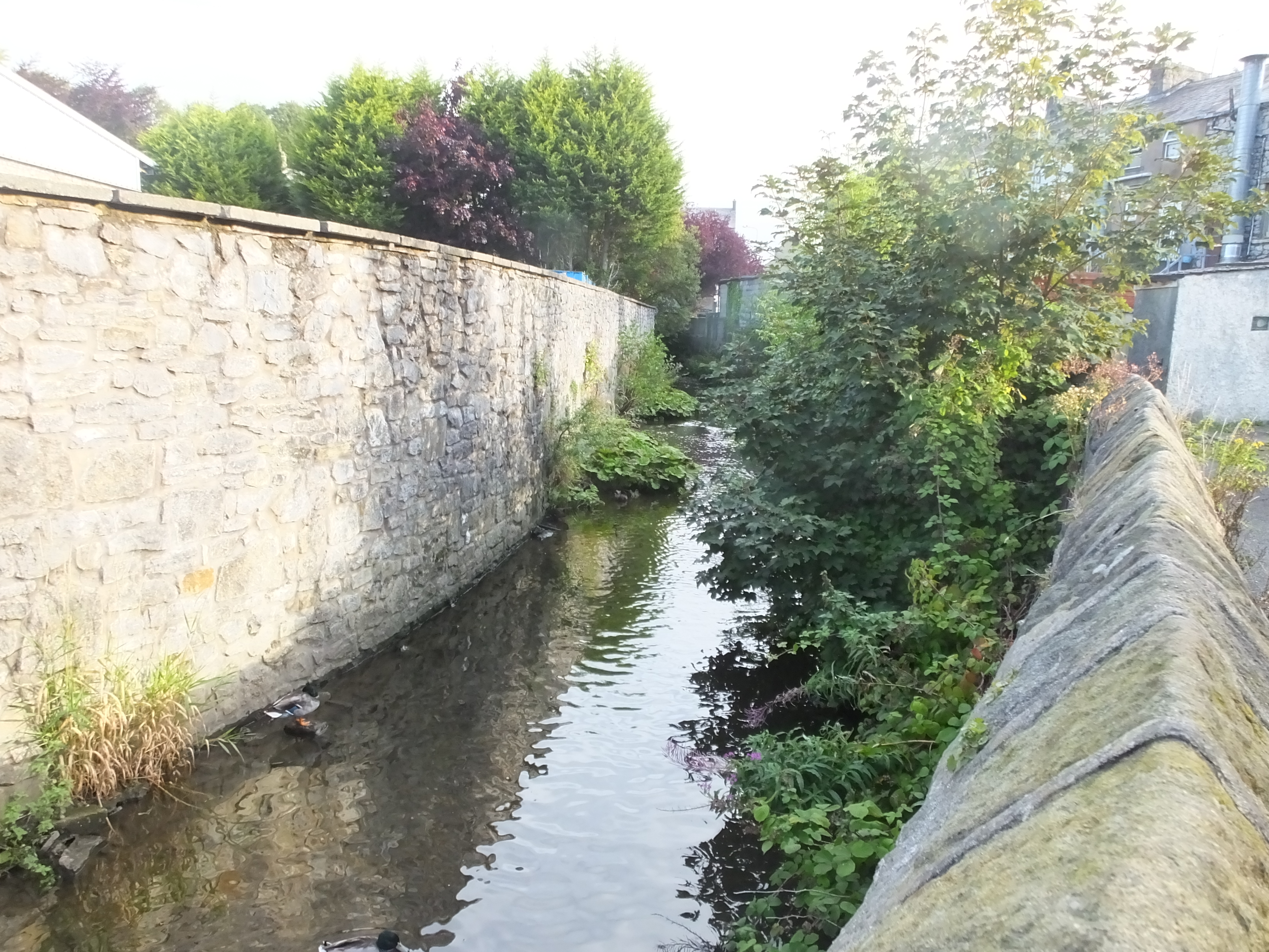
Nature enthusiasts are drawn to Badger Wells due to its proximity to moorland areas. The village acts as a gateway to the expansive moors, offering ample opportunities for hiking, birdwatching, and other outdoor activities. The moorland is home to a diverse range of wildlife, including various bird species, rabbits, and deer.

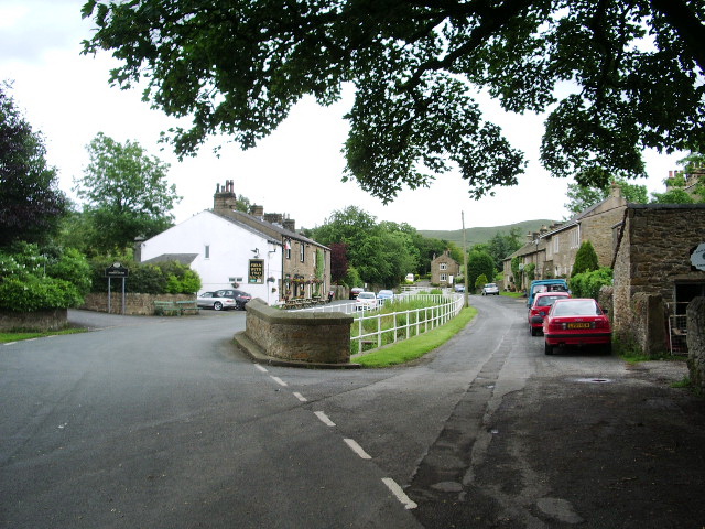
Badger Wells boasts a number of amenities to serve its residents, including a village hall, a primary school, and a few local shops. However, for more extensive services and facilities, residents typically travel to the nearby town of Lancashire.

In summary, Badger Wells is a charming rural village nestled in the Downs of Lancashire. With its stunning natural surroundings and tight-knit community, it offers a peaceful and idyllic lifestyle for its residents.

If you have any feedback on the listing, please let us know in the comments section below.

Badger Wells Images

Images are sourced within 2km of 53.852149/-2.3274622 or Grid Reference SD7839. Thanks to Geograph Open Source API. All images are credited.

View over Pendleton Moor Looking north along the Clitheroe Road. A public right of way starts at this point and heads north west to Pendleton. Pendle Hill is away to the east, just out of shot.
View over Pendleton Moor
Looking north along the Clitheroe Road. A public right of way starts at this point and heads north west to Pendleton. Pendle Hill is away to the east, just out of shot.
Nick o' Pendle Dry Ski Slope View from the hill top car park
Nick o' Pendle Dry Ski Slope
View from the hill top car park
Path to Pendleton Moor Summit Start of the path from Nick of Pendle car parks on the flanks of Pendle Hill
Path to Pendleton Moor Summit
Start of the path from Nick of Pendle car parks on the flanks of Pendle Hill
View south-west from Spence Moor A bit of sunlight on a generally dull day lit up fields on the hillside above Sabden.
View south-west from Spence Moor
A bit of sunlight on a generally dull day lit up fields on the hillside above Sabden.
Direction stone on Badger Wells Hill The stone points to Mearley Moor (left) and Summit (right, i.e. the summit of Pendle).
Direction stone on Badger Wells Hill
The stone points to Mearley Moor (left) and Summit (right, i.e. the summit of Pendle).
Church Clough Reservoir from Apronfull Hill Reservoir levels were low in a very dry summer.
Church Clough Reservoir from Apronfull Hill
Reservoir levels were low in a very dry summer.
The airmen's memorial at Nick of Pendle The memorial is to Australian and American aircrew whose planes crashed in the area in World War II. It does not mark the exact site of either incident, but is conveniently located close to a public road. <a href="https://www.geograph.org.uk/photo/4470275">SD7738 : Memorial at Nick of Pendle</a> gives the full text.
The airmen's memorial at Nick of Pendle
The memorial is to Australian and American aircrew whose planes crashed in the area in World War II. It does not mark the exact site of either incident, but is conveniently located close to a public road. SD7738 : Memorial at Nick of Pendle gives the full text.
Car park at Nick of Pendle An old quarry offers limited parking at the summit of the road from Padiham to Clitheroe (295 metres).
Car park at Nick of Pendle
An old quarry offers limited parking at the summit of the road from Padiham to Clitheroe (295 metres).
Quarry at Nick of Pendle An old stone quarry, one of several around the summit of the road from Padiham to Clitheroe. The borough boundary is immediately to the right of the quarry - Ribble Valley this side, Pendle District beyond.
Quarry at Nick of Pendle
An old stone quarry, one of several around the summit of the road from Padiham to Clitheroe. The borough boundary is immediately to the right of the quarry - Ribble Valley this side, Pendle District beyond.
Gate and stile at Nick of Pendle The path beyond the stile leads down to Pendleton village. On the stone gatepost is a benchmark, shown on the 1912 map as 974.5 feet.
Gate and stile at Nick of Pendle
The path beyond the stile leads down to Pendleton village. On the stone gatepost is a benchmark, shown on the 1912 map as 974.5 feet.
Pendle Hill Ski Slope The slope is on the western flank of the hill on the road over to Padiham. <a href="https://www.geograph.org.uk/photo/774073">SD7739 : The ski run at Pendle Ski Club on the slopes of Pendle Hill</a> shows the artificial slope more clearly; it is just over the gridline into the next square, but the buildings are in this one.
Pendle Hill Ski Slope
The slope is on the western flank of the hill on the road over to Padiham. SD7739 : The ski run at Pendle Ski Club on the slopes of Pendle Hill shows the artificial slope more clearly; it is just over the gridline into the next square, but the buildings are in this one.
Footpath on Pendle The footpath and sign for Pendleton Moor going towards Howcroft Barn. The path is located just past the Wellsprings heading towards Clitheroe. Another view can be seen here - <a title="https://www.geograph.org.uk/photo/4470227" href="https://www.geograph.org.uk/photo/4470227">Link</a>
Footpath on Pendle
The footpath and sign for Pendleton Moor going towards Howcroft Barn. The path is located just past the Wellsprings heading towards Clitheroe. Another view can be seen here - Link
Looking up Ogden Clough
Looking down Ogden Clough
Direction marker in Ogden Clough A footpath follows the western side of the clough up to this point, then turns east-north-east towards the summit. In a very dry summer, crossing the stream was trivial, but it may not be so easy in wet weather. The clough also forms the borough boundary between Pendle (right) and Ribble Valley (left).
Direction marker in Ogden Clough
A footpath follows the western side of the clough up to this point, then turns east-north-east towards the summit. In a very dry summer, crossing the stream was trivial, but it may not be so easy in wet weather. The clough also forms the borough boundary between Pendle (right) and Ribble Valley (left).
Ogden Clough A footpath follows the western side of the clough at this point.
Ogden Clough
A footpath follows the western side of the clough at this point.
Direction stone in Ogden Clough One path heads on down the clough, another turns right towards Nick of Pendle.
Direction stone in Ogden Clough
One path heads on down the clough, another turns right towards Nick of Pendle.
Cairn on the moor above Ogden Clough The cairn marks a path junction: one path (right) heads on down the clough, another keeps up on high ground towards Mearley Moor.
Cairn on the moor above Ogden Clough
The cairn marks a path junction: one path (right) heads on down the clough, another keeps up on high ground towards Mearley Moor.
Show me another place!

Badger Wells is located at Grid Ref: SD7839 (Lat: 53.852149, Lng: -2.3274622)

Administrative County: Lancashire

District: Ribble Valley

Police Authority: Lancashire

What 3 Words

///cultivation.event.euphoric. Near Sabden, Lancashire

Related Wikis

Pendle Water

Pendle Water is a minor river in Lancashire, England. Rising on Pendle Hill, Pendle Water cuts a deep valley between Barley Moor and Spence Hill, where...

Mearley

Mearley is a civil parish in Lancashire, England. The parish is north-west of Pendle Hill, east of Clitheroe, and is in the Ribble Valley district. It...

Sabden

Sabden is a village and civil parish in the Ribble Valley, Lancashire, England. Sabden is located south of Pendle Hill, in a valley about three miles north...

Pendle Hill

Pendle Hill is in the east of Lancashire, England, near the towns of Burnley, Nelson, Colne, Brierfield, Clitheroe and Padiham. Its summit is 557 metres...

Pendleton, Lancashire

Pendleton is a small village and civil parish in Ribble Valley, within the county of Lancashire, England. It is close to the towns of Whalley and Clitheroe...

Mearley Brook

Mearley Brook is a minor river in Lancashire, England. It is approximately 4.5 miles (7.2 km) long and has a catchment area of 8.79 square miles (22.77...

Ogden Reservoirs

Upper and Lower Ogden Reservoirs are half a mile to the west of the village of Barley, in the Borough of Pendle, England. They supply drinking water to...

Worston

Worston is a small linear village and civil parish in Lancashire, England. The village is north-west of Pendle Hill, east of Clitheroe, and is in the Ribble...

Nearby Amenities

Located within 500m of 53.852149,-2.3274622
Ford: yes
Lat/Long: 53.8507542/-2.3283267
Barrier: kissing_gate
Material: wood
Lat/Long: 53.8507103/-2.3282887
The data included in this document is from www.openstreetmap.org. The data is made available under ODbL.

Have you been to Badger Wells?

Leave your review of Badger Wells below (or comments, questions and feedback).