Village Garden

Downs, Moorland in Dorset

England

Village Garden

Park in Sturminster Newton The gates have the name: Somerset and Dorset Joint Railway
Park in Sturminster Newton Credit: David Smith

Village Garden, Dorset is a scenic and picturesque area located in the southwestern part of England. Situated amidst the beautiful Dorset Downs and Moorland, this village offers a serene and peaceful environment for residents and visitors alike.

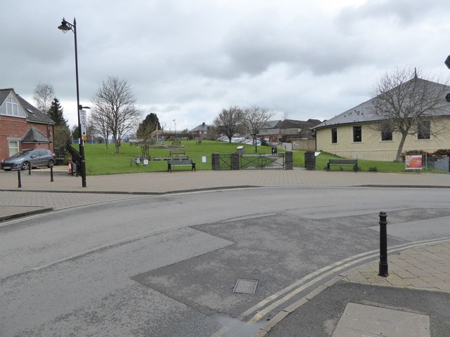
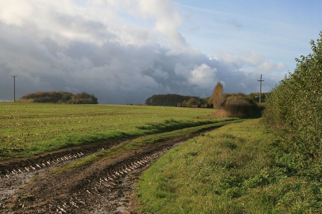
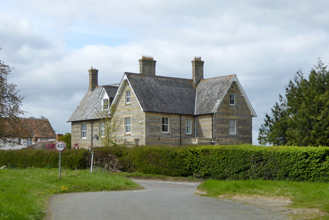
Surrounded by rolling hills and lush green landscapes, Village Garden is renowned for its natural beauty and idyllic countryside. The village is dotted with charming cottages, quaint farmhouses, and well-maintained gardens, which add to its rustic charm and appeal. The stunning views of the Downs and Moorland provide a perfect backdrop for outdoor activities such as hiking, cycling, and picnicking.

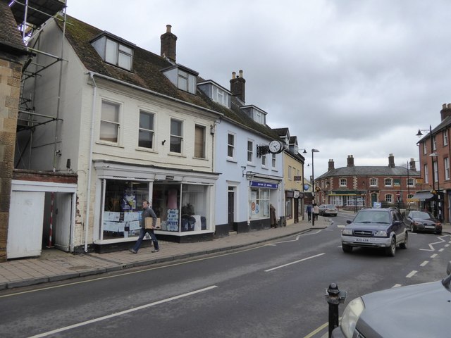
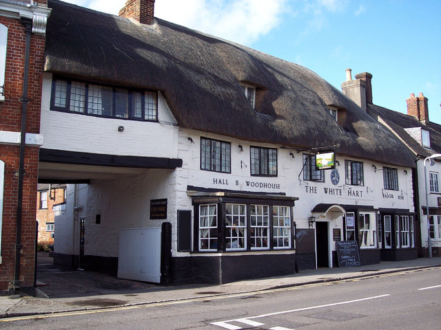
The village is home to a close-knit community that takes pride in its rich history and heritage. The local residents are friendly and welcoming, making Village Garden a warm and inviting place to visit. The village also has a range of amenities, including a village hall, a small grocery store, and a traditional pub, where visitors can enjoy a taste of local cuisine and hospitality.

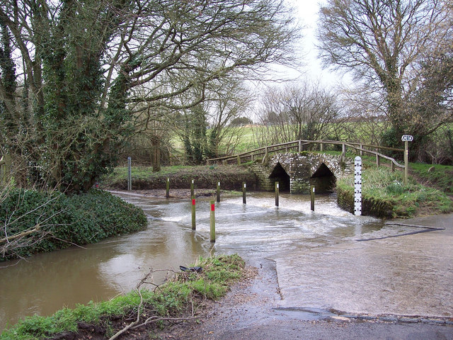
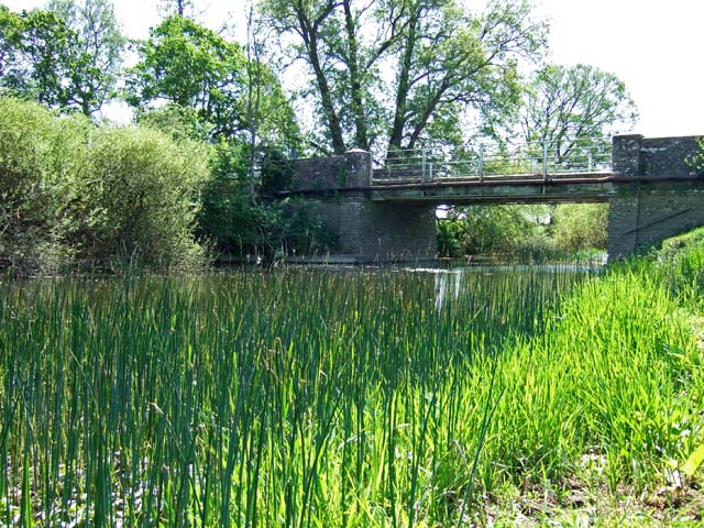
For nature enthusiasts, Village Garden offers ample opportunities to explore the surrounding countryside. The Dorset Downs, known for their natural beauty and diverse wildlife, are a popular spot for birdwatching and nature walks. The Moorland, with its open expanses and heather-covered hills, provides a unique and breathtaking landscape for visitors to explore.

Overall, Village Garden, Dorset (Downs, Moorland) is a charming and picturesque village that offers a perfect blend of natural beauty, rural charm, and a welcoming community. Whether seeking tranquility or outdoor adventures, this village is a gem worth exploring.

If you have any feedback on the listing, please let us know in the comments section below.

Village Garden Images

Images are sourced within 2km of 50.944295/-2.3067288 or Grid Reference ST7816. Thanks to Geograph Open Source API. All images are credited.

Park in Sturminster Newton The gates have the name: Somerset and Dorset Joint Railway
Park in Sturminster Newton
The gates have the name: Somerset and Dorset Joint Railway
Market Cross, Sturminster Newton A clock on the facade of Boots (chemists)
Market Cross, Sturminster Newton
A clock on the facade of Boots (chemists)
The White Horse, Hinton St Mary
Benchmark on St Peter's Church, Hinton St Mary Ordnance Survey benchmark, described on database at <span class="nowrap"><a title="http://www.bench-marks.org.uk/bm44698" rel="nofollow ugc noopener" href="http://www.bench-marks.org.uk/bm44698">Link</a><img style="margin-left:2px;" alt="External link" title="External link - shift click to open in new window" src="https://s1.geograph.org.uk/img/external.png" width="10" height="10"/></span>. See also <a href="https://www.geograph.org.uk/photo/5192160">ST7816 : St Peter's Church, Hinton St Mary</a>.
Benchmark on St Peter's Church, Hinton St Mary
Ordnance Survey benchmark, described on database at LinkExternal link. See also ST7816 : St Peter's Church, Hinton St Mary.
St Peter's Church, Hinton St Mary There is an Ordnance Survey benchmark on this building. See <a href="https://www.geograph.org.uk/photo/5192158">ST7816 : Benchmark on St Peter's Church, Hinton St Mary</a>.
St Peter's Church, Hinton St Mary
There is an Ordnance Survey benchmark on this building. See ST7816 : Benchmark on St Peter's Church, Hinton St Mary.
Ridgeway Lane near Hinton St Mary
Joyce's Coppice, near Hinton St Mary
Broken viaduct, Sturminster Newton Once a railway serving the town, now sadly derelict and a poignant relic of the past railway era, this broken viaduct used to span the River Stour. The Stour Valley Way now runs alongside the river to the west of the town of Sturminster Newton.
Broken viaduct, Sturminster Newton
Once a railway serving the town, now sadly derelict and a poignant relic of the past railway era, this broken viaduct used to span the River Stour. The Stour Valley Way now runs alongside the river to the west of the town of Sturminster Newton.
Footbridge over the River Stour near Sturminster Newton There is a bifurcation in the paths here, the westward path being the Stour Valley Way and the northwards path the Hardy Way leading to Hinton St Mary.
Footbridge over the River Stour near Sturminster Newton
There is a bifurcation in the paths here, the westward path being the Stour Valley Way and the northwards path the Hardy Way leading to Hinton St Mary.
Confluence of rivers on the Stour Valley Way The River Divelish joins the River Stour from the south.
Confluence of rivers on the Stour Valley Way
The River Divelish joins the River Stour from the south.
Dismantled railway near Lower Bagber
The Manor House near Hinton St Mary
B3092 north from Sturminster Newton The village sign for Hinton St. Mary is ahead.
B3092 north from Sturminster Newton
The village sign for Hinton St. Mary is ahead.
The White Horse, Hinton St. Mary A grade II listed building from around 1800.
The White Horse, Hinton St. Mary
A grade II listed building from around 1800.
Field of oil-seed rape East of Hinton Lane.
Field of oil-seed rape
East of Hinton Lane.
Quarry, Whiteway Hill Operated by Marnhull Stone Ltd.
Quarry, Whiteway Hill
Operated by Marnhull Stone Ltd.
Walton Elm House South of Marnhull.
Walton Elm House
South of Marnhull.
Hinton St Mary, Wood Lane From the main road towards River Stour; right, Wren Cottage.
Hinton St Mary, Wood Lane
From the main road towards River Stour; right, Wren Cottage.
Show me another place!

Village Garden is located at Grid Ref: ST7816 (Lat: 50.944295, Lng: -2.3067288)

Unitary Authority: Dorset

Police Authority: Dorset

What 3 Words

///regal.syndicate.leotard. Near Sturminster Newton, Dorset

Related Wikis

Hinton St Mary

Hinton St Mary is a village and civil parish in Dorset, southern England. It is sited on a low Corallian limestone ridge beside the River Stour, one mile...

Sturminster Newton United F.C.

Sturminster Newton United Football Club is a football club based in Sturminster Newton, Dorset, England, currently playing in the Dorset Premier League...

Sturminster Newton High School

Sturminster Newton High School is a coeducational secondary school and sixth form located in Sturminster Newton in the English county of Dorset. ��2�...

River Divelish

The River Divelish is a Dorset watercourse of that rises on the north slope of Bulbarrow Hill, near to the source of the Devil's Brook. It is a tributary...

Sturminster Newton railway station

Sturminster Newton railway station was a station in the town of Sturminster Newton, in the English county of Dorset. It was located on the Somerset and...

Sturminster Newton

Sturminster Newton is a town and civil parish in the Blackmore Vale area of Dorset, England. It is situated on a low limestone ridge in a meander of the...

Pleck, Dorset

'Pleck'( DT10) is a small hamlet to the south of Marnhull, one of the largest villages in England. It lies close to the River Stour in Dorset. It consists...

River Lydden

The River Lydden is a 15.25 miles (24.55 km) tributary of the River Stour that flows through Blackmore Vale in Dorset, England.Its headwaters rise at the...

Nearby Amenities

Located within 500m of 50.944295,-2.3067288
Hinton St Mary
Is In: Dorset, England, UK
Place: village
Lat/Long: 50.9443723/-2.3073833
Pub
The White Horse
Addr Postcode: DT10 1NA
Addr Street: White Horse Lane
Fhrs Id: 993791
Source Addr: FHRS Open Data
Lat/Long: 50.9445333/-2.3059349
Hinton St Mary Roman Mosaic
Board Type: history
Information: board
Tourism: information
Lat/Long: 50.9444124/-2.3062072
Noexit: yes
Lat/Long: 50.9452162/-2.3085895
Noexit: yes
Lat/Long: 50.9452432/-2.3086029
Bartlett Contractors
Office: company
Lat/Long: 50.9466971/-2.3039579
Turks Garage
Shop: car_repair
Lat/Long: 50.9459064/-2.3097645
Parking
Lat/Long: 50.942954/-2.3045696
Power: pole
Lat/Long: 50.9476034/-2.3022572
Power: pole
Lat/Long: 50.9474437/-2.3031928
The data included in this document is from www.openstreetmap.org. The data is made available under ODbL.

Have you been to Village Garden?

Leave your review of Village Garden below (or comments, questions and feedback).