Common

Downs, Moorland in Somerset

England

Common

Upper Swainswick church Upper Swainswick church is dedicated to st Mary and is Grade II* listed, see: <span class="nowrap"><a title="https://historicengland.org.uk/listing/the-list/list-entry/1232679?section=official-listing" rel="nofollow ugc noopener" href="https://historicengland.org.uk/listing/the-list/list-entry/1232679?section=official-listing">Link</a><img style="margin-left:2px;" alt="External link" title="External link - shift click to open in new window" src="https://s1.geograph.org.uk/img/external.png" width="10" height="10"/></span>
Upper Swainswick church Credit: Philip Halling

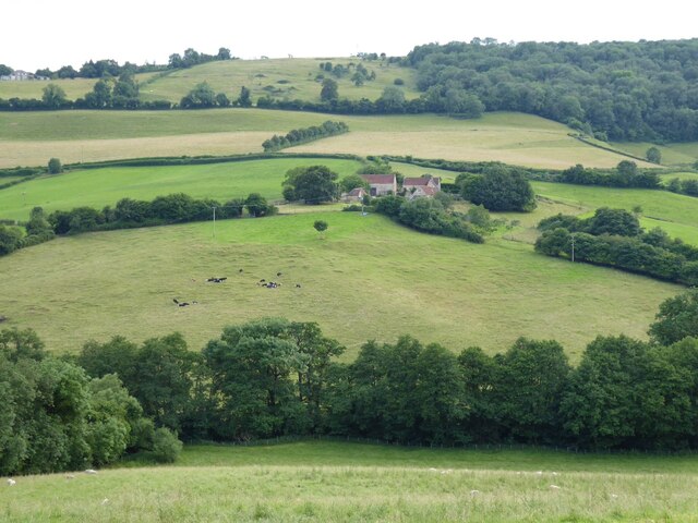
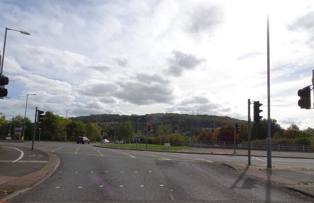
Common, Somerset is a rural area located in the southwest of England, specifically in the county of Somerset. It encompasses both Downs and Moorland regions, offering a diverse landscape with stunning natural beauty.

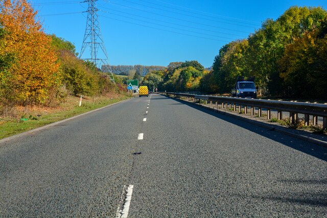
The Downs area of Common, Somerset is characterized by gently rolling hills and expansive grasslands. It provides a picturesque setting with panoramic views of the surrounding countryside. The hills are covered in lush green vegetation, which adds to the charm of the area. The Downs are home to a variety of wildlife, including rabbits, foxes, and a wide range of bird species.

In contrast, the Moorland region in Common, Somerset is characterized by open, rugged terrain with heather, grasses, and patches of gorse. This area offers a more wild and untamed landscape, providing a unique and contrasting experience for visitors. The moorland is home to a variety of plants and wildlife, including deer, ponies, and various bird species such as grouse and peregrine falcons.

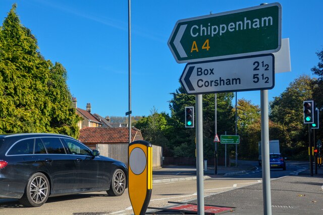
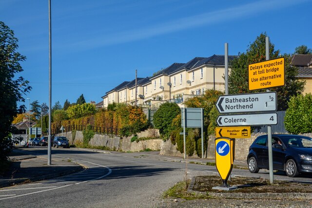
Common, Somerset is a popular destination for outdoor enthusiasts and nature lovers. The area offers numerous walking and hiking trails, allowing visitors to explore the beautiful countryside and enjoy the peacefulness of the natural surroundings. It is also a haven for birdwatchers, as the diverse habitats attract a wide range of bird species.

Overall, Common, Somerset (Downs, Moorland) offers a rich and varied natural landscape, providing a tranquil escape from the hustle and bustle of city life. With its stunning views, diverse wildlife, and abundance of outdoor activities, it is a must-visit destination for those seeking a connection with nature.

If you have any feedback on the listing, please let us know in the comments section below.
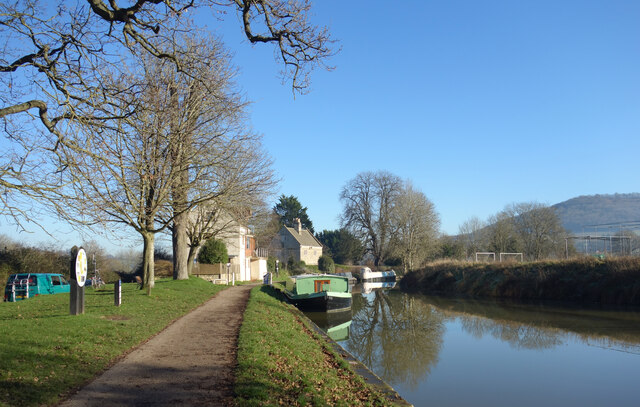
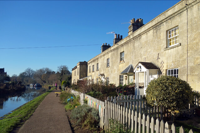
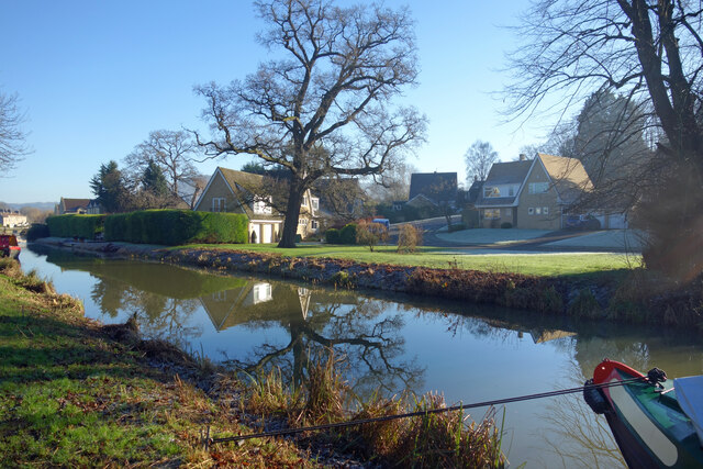
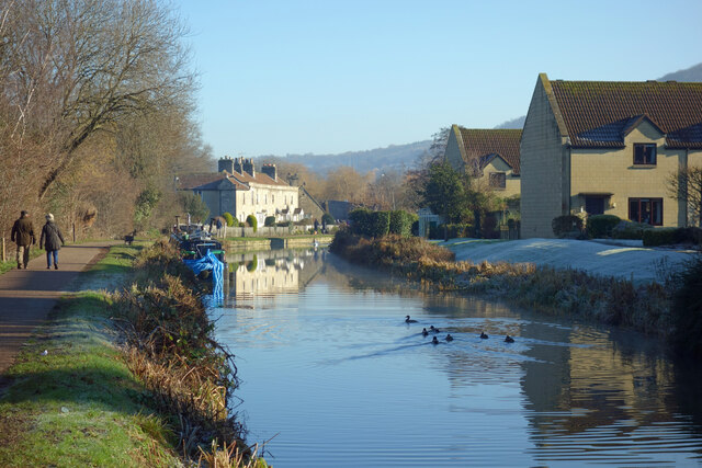
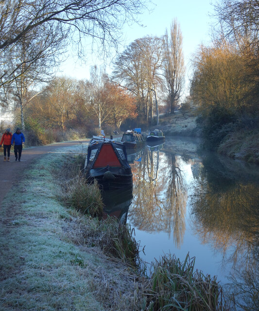
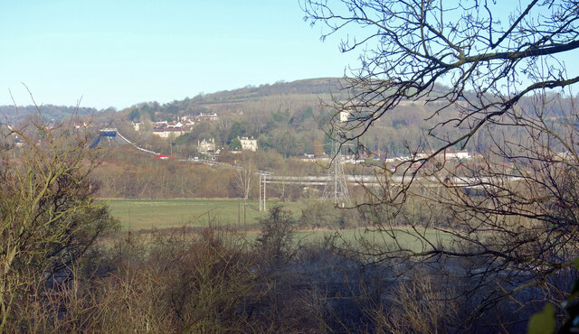
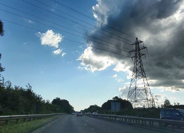
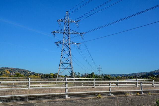
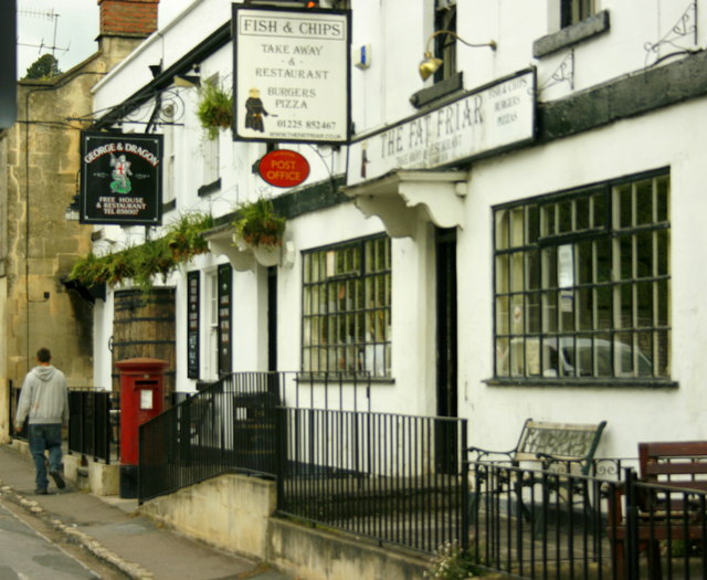
Common Images

Images are sourced within 2km of 51.41003/-2.3349125 or Grid Reference ST7667. Thanks to Geograph Open Source API. All images are credited.

Upper Swainswick church Upper Swainswick church is dedicated to st Mary and is Grade II* listed, see: <span class="nowrap"><a title="https://historicengland.org.uk/listing/the-list/list-entry/1232679?section=official-listing" rel="nofollow ugc noopener" href="https://historicengland.org.uk/listing/the-list/list-entry/1232679?section=official-listing">Link</a><img style="margin-left:2px;" alt="External link" title="External link - shift click to open in new window" src="https://s1.geograph.org.uk/img/external.png" width="10" height="10"/></span>
Upper Swainswick church
Upper Swainswick church is dedicated to st Mary and is Grade II* listed, see: LinkExternal link
The road outside Upper Swainswick church The road outside Upper Swainswick church, the tower of the church can be seen on the right through the trees.
The road outside Upper Swainswick church
The road outside Upper Swainswick church, the tower of the church can be seen on the right through the trees.
Road entering Upper Swainswick The road entering the village of Upper Swainswick from the A49 junction.
Road entering Upper Swainswick
The road entering the village of Upper Swainswick from the A49 junction.
Woolley church Woolley church is dedicated to All Saints and was built in 1761 by John Wood, the Younger, of Bath.  The church is Grade I listed, see: <span class="nowrap"><a title="https://historicengland.org.uk/listing/the-list/list-entry/1214256?section=official-listing" rel="nofollow ugc noopener" href="https://historicengland.org.uk/listing/the-list/list-entry/1214256?section=official-listing">Link</a><img style="margin-left:2px;" alt="External link" title="External link - shift click to open in new window" src="https://s1.geograph.org.uk/img/external.png" width="10" height="10"/></span>
Woolley church
Woolley church is dedicated to All Saints and was built in 1761 by John Wood, the Younger, of Bath. The church is Grade I listed, see: LinkExternal link
Farmland at Upper Swainswick View across the valley at Upper Swainswick to Crossleaze Farm.
Farmland at Upper Swainswick
View across the valley at Upper Swainswick to Crossleaze Farm.
Kennet & Avon Canal at Bathampton
Canal Terrace, Bathampton A terrace of early 19th century canalside houses.
Canal Terrace, Bathampton
A terrace of early 19th century canalside houses.
Kennet Park, Bathampton Houses near the Kennet & Avon Canal.
Kennet Park, Bathampton
Houses near the Kennet & Avon Canal.
The Canal at Bathampton The Kennet & Avon Canal on a wintry morning.
The Canal at Bathampton
The Kennet & Avon Canal on a wintry morning.
Frosty Morning by the Canal
Avon Valley and A46 Looking over the Avon Valley from the Kennet & Avon Canal Path. The A46 crosses the river on a viaduct and heads off round the side of Little Solsbury Hill.
Avon Valley and A46
Looking over the Avon Valley from the Kennet & Avon Canal Path. The A46 crosses the river on a viaduct and heads off round the side of Little Solsbury Hill.
Electricity Pylon by the A4
A46 Island View The view near Bath.
A46 Island View
The view near Bath.
Batheaston : Box Road A4 Looking along the road from the roundabout.
Batheaston : Box Road A4
Looking along the road from the roundabout.
Batheaston : London Road East Looking along the road from the roundabout.
Batheaston : London Road East
Looking along the road from the roundabout.
Bathampton : A4 Looking along the A4.
Bathampton : A4
Looking along the A4.
Bathampton : A4 Looking along the A4.
Bathampton : A4
Looking along the A4.
Bathampton : A46 & Pylon A pylon off the A46.
Bathampton : A46 & Pylon
A pylon off the A46.
Show me another place!

Common is located at Grid Ref: ST7667 (Lat: 51.41003, Lng: -2.3349125)

Unitary Authority: Bath and North East Somerset

Police Authority: Avon and Somerset

What 3 Words

///vibes.shed.cages. Near Bathford, Somerset

Related Wikis

Solsbury Hill

Little Solsbury Hill (more commonly known as Solsbury Hill) is a small flat-topped hill and the site of an Iron Age hill fort, above the village of Batheaston...

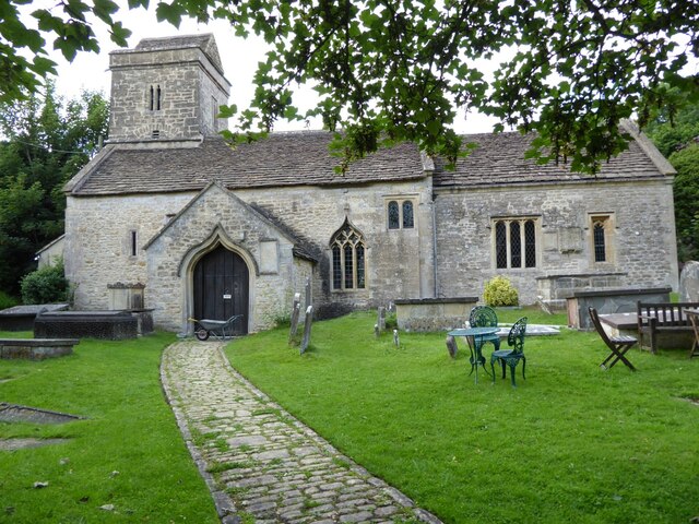
Church of St John The Baptist, Batheaston

The Church of St John the Baptist in Northend, Batheaston within the English county of Somerset was built in the 12th century and remodelled in the 15th...

Bathampton Toll Bridge

Bathampton Toll Bridge is an arch bridge in England, carrying a minor road across the River Avon near Bathampton, to the east of Bath. It is a Grade II...

Swainswick

Swainswick is a small village and civil parish, 3 miles (4.8 km) northeast of Bath, on the A46 in the Bath and North East Somerset unitary authority, Somerset...

Eagle House (suffragette's rest)

Eagle House is a Grade II* listed building in Batheaston, Somerset, near Bath. Before World War I the house had extensive grounds. When Emily Blathwayt...

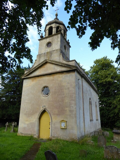
Church of St Mary, Swainswick

The Anglican Church of St Mary in Swainswick within the English county of Somerset dates from the 12th century. It is a Grade II* listed building.Vestiges...

Larkhall Athletic F.C.

Larkhall Athletic Football Club is a football club based in the Larkhall area of Bath, Somerset, England. Affiliated to the Somerset County FA, they are...

Batheaston

Batheaston is a village and civil parish 2 miles (3.2 km) east of the English city of Bath, on the north bank of the River Avon. The parish had a population...

Nearby Amenities

Located within 500m of 51.41003,-2.3349125
Barrier: kissing_gate
Lat/Long: 51.4087174/-2.3385865
Little Solsbury Hill
Ele: 191
Natural: peak
Wikidata: Q548780
Wikipedia: en:Solsbury Hill
Lat/Long: 51.4100777/-2.3342785
Barrier: stile
Lat/Long: 51.4088093/-2.3322733
Man Made: survey_point
Tpuk Ref: S4066
Lat/Long: 51.4086267/-2.3351538
Barrier: stile
Lat/Long: 51.4133217/-2.3320051
Barrier: cattle_grid
Lat/Long: 51.4088415/-2.3321703
Barrier: kissing_gate
Lat/Long: 51.4119727/-2.3370843
Barrier: kissing_gate
Lat/Long: 51.4063336/-2.3388529
Barrier: stile
Lat/Long: 51.4123166/-2.3362211
Little Solsbury Hill
Board Type: board
Information: board
Tourism: information
Lat/Long: 51.4087926/-2.3322974
Leisure: maze
Lat/Long: 51.4112575/-2.3372879
The data included in this document is from www.openstreetmap.org. The data is made available under ODbL.

Have you been to Common?

Leave your review of Common below (or comments, questions and feedback).