Causeway Withy Beds
Downs, Moorland in Dorset
England
Causeway Withy Beds
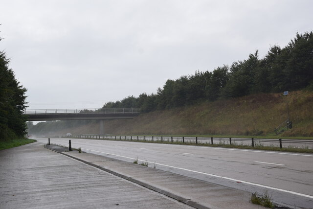
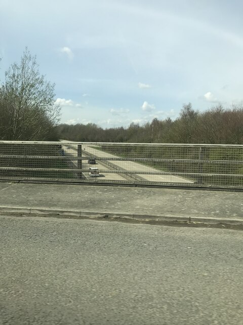
Causeway Withy Beds is a nature reserve located in Dorset, England. Situated on the Downs and Moorland, this area is renowned for its rich biodiversity and stunning natural landscapes. Covering an expansive area, the reserve is home to a diverse range of plant and animal species, making it an ideal destination for nature enthusiasts and wildlife lovers.
The landscape of Causeway Withy Beds is characterized by its rolling hills and open grasslands, providing a picturesque backdrop for visitors. The reserve is particularly famous for its vibrant wildflower meadows, which burst into a riot of colors during the summer months. These meadows not only add beauty to the landscape but also provide a crucial habitat for a variety of pollinators, such as butterflies and bees.
In addition to the wildflower meadows, Causeway Withy Beds boasts several wetland areas, including ponds and marshes. These wetlands attract a plethora of bird species, including herons, egrets, and various waterfowl. Birdwatchers can enjoy observing these feathered creatures in their natural habitat, while also taking in the tranquil surroundings.
The reserve is also home to a number of woodland areas, which offer a different experience for visitors. Here, one can find ancient trees, such as oak and beech, creating a serene and atmospheric atmosphere. These woodlands provide shelter for numerous bird species, as well as small mammals like hedgehogs and squirrels.
Overall, Causeway Withy Beds is a haven for nature enthusiasts, offering a diverse range of habitats and a wealth of wildlife to discover. Whether it's exploring the wildflower meadows, observing the wetland birds, or immersing oneself in the woodland tranquility, this nature reserve has something to offer for everyone.
If you have any feedback on the listing, please let us know in the comments section below.
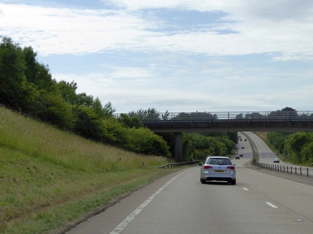
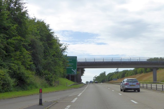
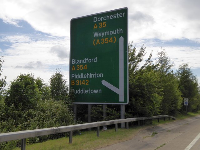
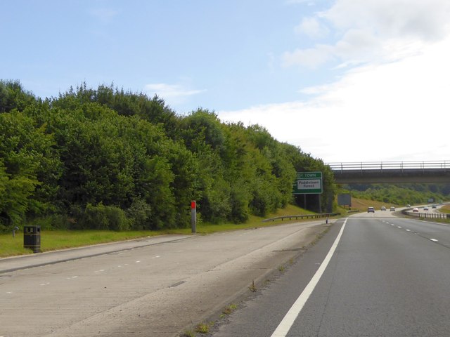
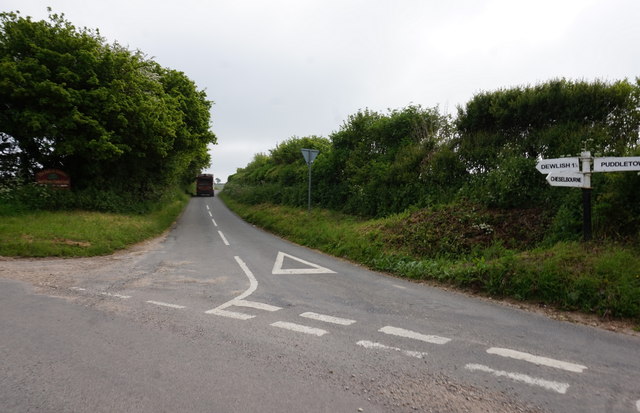
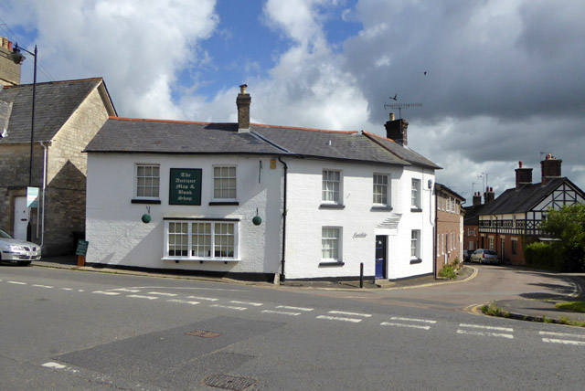
Causeway Withy Beds Images
Images are sourced within 2km of 50.749893/-2.3305165 or Grid Reference SY7694. Thanks to Geograph Open Source API. All images are credited.


Causeway Withy Beds is located at Grid Ref: SY7694 (Lat: 50.749893, Lng: -2.3305165)
Unitary Authority: Dorset
Police Authority: Dorset
What 3 Words
///seasons.tutored.cabbages. Near Puddletown, Dorset
Nearby Locations
Related Wikis

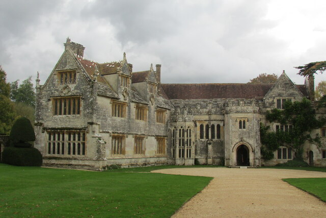
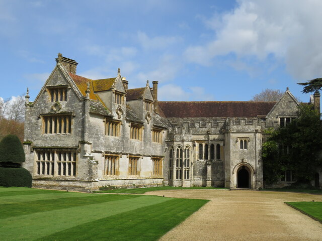
Athelhampton
Athelhampton (also known as Admiston or Adminston) is a settlement and civil parish in Dorset, England, situated approximately 5 miles (8 km) east of Dorchester...

Devils Brook (Dorset)
The Devils Brook is a Dorset watercourse of that rises near Higher Ansty (on Pleck Farm, in Pleck or Little Ansty), near to the source of the River Divelish...

Puddletown
Puddletown is a village and civil parish in Dorset, England. It is situated by the River Piddle, from which it derives its name, about 4.5 miles (7 km...

Puddletown Hundred
Puddletown Hundred was a hundred in the county of Dorset, England, containing the following parishes: Athelhampton Burleston Milborne St Andrew (part...
Burleston
Burleston is a village in Dorset, England. Burleston is listed in the Domesday Book of 1086, having at that time a small population of nine households...

St John's Church, Tolpuddle
The Church of Saint John the Evangelist is a Church of England parish church in Tolpuddle, Dorset. The church is a Grade I listed building. == History... ==

Tolpuddle
Tolpuddle ( ) is a village in Dorset, England, on the River Piddle from which it takes its name, 8 miles (13 km) east of Dorchester, the county town, and...

Tincleton
Tincleton is a village and civil parish in the county of Dorset in southern England. It is situated near the River Frome, approximately 5 miles (8.0 km...
Nearby Amenities
Located within 500m of 50.749893,-2.3305165Have you been to Causeway Withy Beds?
Leave your review of Causeway Withy Beds below (or comments, questions and feedback).