Little Knoll Copse

Wood, Forest in Dorset

England

Little Knoll Copse

Layby on the A35 Near Burleston looking west on a wet August morning.
Layby on the A35 Credit: Trevor Harris

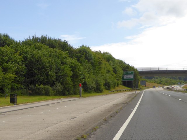
Little Knoll Copse is a picturesque woodland located in the county of Dorset, England. Covering an area of approximately 20 acres, this charming forest is nestled within the rural landscape, providing visitors with a tranquil and idyllic setting to explore.

The copse is primarily composed of a variety of deciduous trees, including oak, beech, and ash, which create a dense canopy overhead. These trees offer shade during the summer months, making it a popular spot for picnics and leisurely walks. The forest floor is carpeted with a rich layer of moss, ferns, and wildflowers, adding to its enchanting appeal.

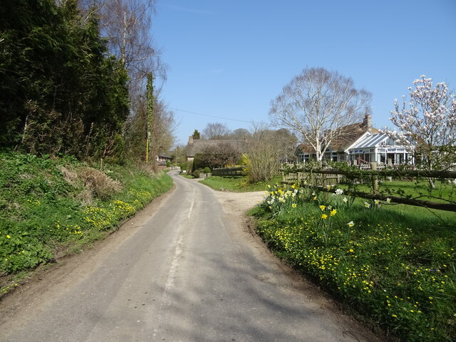
Interwoven throughout the copse are a network of winding footpaths, allowing visitors to meander through the woodland and discover its hidden treasures. These paths lead to a small stream that meanders through the forest, creating a soothing and peaceful atmosphere.

Little Knoll Copse is also home to a diverse array of wildlife. Birdwatchers can spot a variety of species, including woodpeckers, warblers, and owls, while nature enthusiasts may encounter rabbits, squirrels, and even the occasional deer.

Visitors to the copse can enjoy a range of recreational activities, such as nature photography, birdwatching, or simply finding a quiet spot to relax and soak in the natural beauty. The copse is open year-round, offering different perspectives with each changing season, from vibrant spring blossoms to the golden hues of autumn.

Overall, Little Knoll Copse in Dorset is a haven for nature lovers, providing a serene and enchanting experience for visitors of all ages.

If you have any feedback on the listing, please let us know in the comments section below.

Little Knoll Copse Images

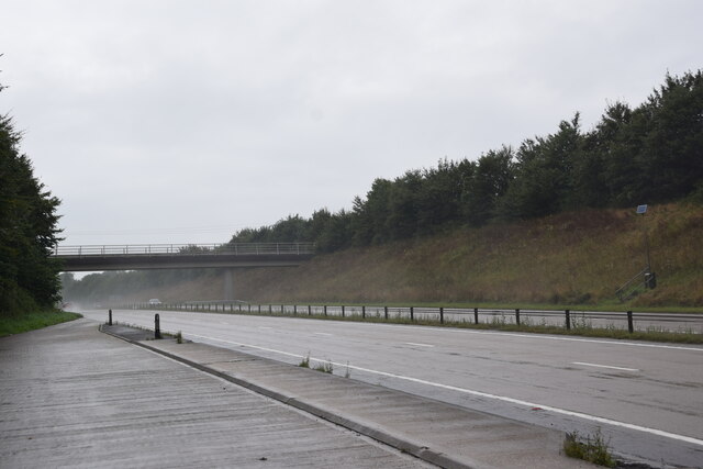
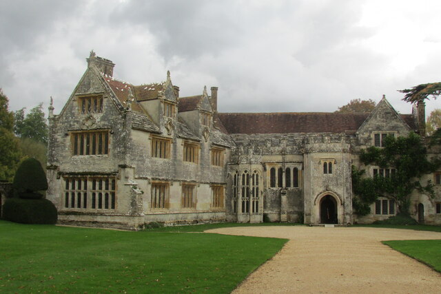
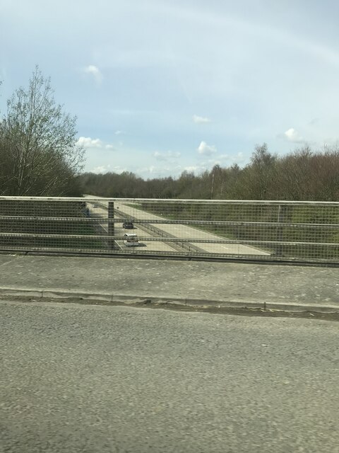
Images are sourced within 2km of 50.74566/-2.335986 or Grid Reference SY7694. Thanks to Geograph Open Source API. All images are credited.

Layby on the A35 Near Burleston looking west on a wet August morning.
Layby on the A35
Near Burleston looking west on a wet August morning.
Athelhampton House Dorset is blessed with some fine country houses.
Athelhampton House
Dorset is blessed with some fine country houses.
Dark Lane
Dark Lane
A35 bridge
A35 bridge
Athelhampton House One of West Dorset's finest country houses set by the River Piddle.
Athelhampton House
One of West Dorset's finest country houses set by the River Piddle.
Bridge over A35 north of Burleston It carries a farm track and public footpath over the shallow cutting.  The A35 is dropping to the stream known as Devil's Brook
Bridge over A35 north of Burleston
It carries a farm track and public footpath over the shallow cutting. The A35 is dropping to the stream known as Devil's Brook
A35 north-west of Burleston The end of a lay-by on the westbound carriageway, and a farm bridge with footpath in the background.  The nearer parapet of the bridge crosses the north-south gridline
A35 north-west of Burleston
The end of a lay-by on the westbound carriageway, and a farm bridge with footpath in the background. The nearer parapet of the bridge crosses the north-south gridline
Sign by the A35 ahead of A354 junction The A35 is a 97 mile long trunk road between Honiton and Southampton, via Poole and Bournemiouth. <span class="nowrap"><a title="http://www.sabre-roads.org.uk/wiki/index.php?title=A35" rel="nofollow ugc noopener" href="http://www.sabre-roads.org.uk/wiki/index.php?title=A35">Link</a><img style="margin-left:2px;" alt="External link" title="External link - shift click to open in new window" src="https://s1.geograph.org.uk/img/external.png" width="10" height="10"/></span>
Sign by the A35 ahead of A354 junction
The A35 is a 97 mile long trunk road between Honiton and Southampton, via Poole and Bournemiouth. LinkExternal link
Protected lay-by and farm bridge over A35 On the westbound carriageway approaching the Troy Town interchange
Protected lay-by and farm bridge over A35
On the westbound carriageway approaching the Troy Town interchange
St Mary's Church, Puddletown Puddletown was the inspiration for Wetherbury in Thomas Hardy's 'Far from the Madding Crowd' and the church was the setting where Captain Troy spends the night in the church porch after laying flowers on Fanny's grave.
St Mary's Church, Puddletown
Puddletown was the inspiration for Wetherbury in Thomas Hardy's 'Far from the Madding Crowd' and the church was the setting where Captain Troy spends the night in the church porch after laying flowers on Fanny's grave.
Athelhampton House main entrance
Athelhampton House through the main gateway
Puddletown: St. Mary's Church
Puddletown: The Square from St. Mary's Church
Puddletown First School Puddletown C of E First School
Puddletown First School
Puddletown C of E First School
Entering Burleston A small hamlet, with a ruined church.
Entering Burleston
A small hamlet, with a ruined church.
Building on corner, Puddletown Grade II listed, early 19th century.
Building on corner, Puddletown
Grade II listed, early 19th century.
Building on large lay-by, Puddletown Shut up.
Building on large lay-by, Puddletown
Shut up.
Show me another place!

Little Knoll Copse is located at Grid Ref: SY7694 (Lat: 50.74566, Lng: -2.335986)

Unitary Authority: Dorset

Police Authority: Dorset

What 3 Words

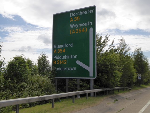
///reckons.houseboat.puzzle. Near Puddletown, Dorset

Related Wikis

Puddletown

Puddletown is a village and civil parish in Dorset, England. It is situated by the River Piddle, from which it derives its name, about 4.5 miles (7 km...

Puddletown Hundred

Puddletown Hundred was a hundred in the county of Dorset, England, containing the following parishes: Athelhampton Burleston Milborne St Andrew (part...
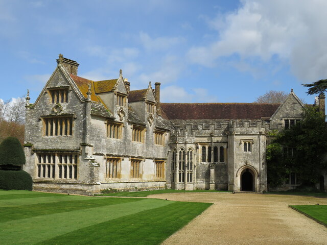
Athelhampton

Athelhampton (also known as Admiston or Adminston) is a settlement and civil parish in Dorset, England, situated approximately 5 miles (8 km) east of Dorchester...

Devils Brook (Dorset)

The Devils Brook is a Dorset watercourse of that rises near Higher Ansty (on Pleck Farm, in Pleck or Little Ansty), near to the source of the River Divelish...

Burleston

Burleston is a village in Dorset, England. Burleston is listed in the Domesday Book of 1086, having at that time a small population of nine households...

Tincleton

Tincleton is a village and civil parish in the county of Dorset in southern England. It is situated near the River Frome, approximately 5 miles (8.0 km...

St John's Church, Tincleton

St John's Church is a Church of England church in Tincleton, Dorset, England. It was designed by Benjamin Ferrey and built in 1849–50. The church has been...

St John's Church, Tolpuddle

The Church of Saint John the Evangelist is a Church of England parish church in Tolpuddle, Dorset. The church is a Grade I listed building. == History... ==

Nearby Amenities

Located within 500m of 50.74566,-2.335986
Turning Circle
Turning Circle: knuckle
Lat/Long: 50.7448889/-2.3429019
Material: wood
Power: pole
Source: bing
Lat/Long: 50.7424122/-2.3320022
Material: wood
Power: pole
Source: bing
Lat/Long: 50.7429747/-2.3323039
Material: wood
Power: pole
Source: bing
Lat/Long: 50.7439216/-2.3327926
Material: wood
Power: pole
Source: bing
Lat/Long: 50.7450695/-2.3334221
Material: wood
Power: pole
Source: bing
Lat/Long: 50.7455271/-2.3413041
Material: wood
Power: pole
Source: survey;bing
Switch: mechanical
Lat/Long: 50.7457291/-2.339998
Material: wood
Power: pole
Source: bing
Lat/Long: 50.7459297/-2.3386631
Material: wood
Power: pole
Source: bing
Lat/Long: 50.7459603/-2.3338746
Material: wood
Power: pole
Source: bing
Lat/Long: 50.7461295/-2.337382
Material: wood
Power: pole
Source: bing
Lat/Long: 50.7465469/-2.3346911
Material: wood
Power: pole
Source: survey;bing
Switch: mechanical
Lat/Long: 50.7474382/-2.334629
Material: wood
Power: pole
Source: bing
Lat/Long: 50.7481856/-2.3324378
Material: wood
Note: Vertically stacked wires
Power: pole
Source: bing
Lat/Long: 50.7483902/-2.3345664
Material: wood
Power: pole
Source: bing
Lat/Long: 50.7487888/-2.3310783
Material: wood
Power: pole
Source: bing
Lat/Long: 50.7440374/-2.3419167
Material: wood
Power: pole
Source: bing
Lat/Long: 50.7447718/-2.3416132
Crossing
Lat/Long: 50.7462152/-2.342255
Power: pole
Source: bing
Transformer: distribution
Lat/Long: 50.7481047/-2.3316269
Power: pole
Source: bing
Lat/Long: 50.7463558/-2.336027
Noexit: yes
Lat/Long: 50.7441052/-2.3426192
Henroost Wood
Place: locality
Lat/Long: 50.7449774/-2.331447
Colour: green
Fttc: yes
Man Made: street_cabinet
Manufacturer: Huawei
Operator: Openreach
Operator Wikidata: Q7096543
Ref: 7
Utility: telecom
Lat/Long: 50.746803/-2.3394616
Fire Hydrant
Emergency: fire_hydrant
Fire Hydrant Diameter: 100
Fire Hydrant Type: underground
Ref: 06265
Source: survey
Lat/Long: 50.746513/-2.342431
Power: pole
Source: bing
Lat/Long: 50.7454012/-2.3425944
Bus Stop
Zoar House
Bus: yes
Departures Board: no
Naptan AtcoCode: 1200POA10273
Naptan Bearing: E
Naptan CommonName: Zoar House
Naptan Indicator: E-bound
Naptan NaptanCode: doramtjm
Naptan Street: Athelhampton Road
Naptan Verified: no
Public Transport: platform
Shelter: no
Lat/Long: 50.7471625/-2.3377058
Noexit: yes
Lat/Long: 50.7452119/-2.3427352
Bus Stop
Zoar House
Bus: yes
Departures Board: no
Naptan AtcoCode: 1200POA10272
Naptan Bearing: E
Naptan Indicator: E-bound
Naptan NaptanCode: doramtjp
Naptan Street: Athelhampton Road
Naptan Verified: yes
Public Transport: platform
Shelter: no
Source Date: 2024-03-03
Lat/Long: 50.7471125/-2.3376549
The data included in this document is from www.openstreetmap.org. The data is made available under ODbL.

Have you been to Little Knoll Copse?

Leave your review of Little Knoll Copse below (or comments, questions and feedback).