Brookfield Coppice

Wood, Forest in Worcestershire Malvern Hills

England

Brookfield Coppice

Farmland on the Martley circular walk
Farmland on the Martley circular walk Credit: Fabian Musto

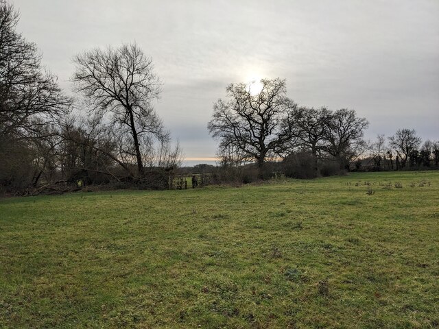
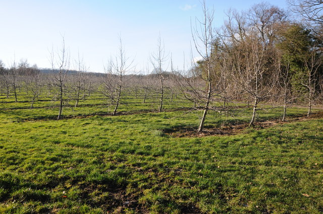
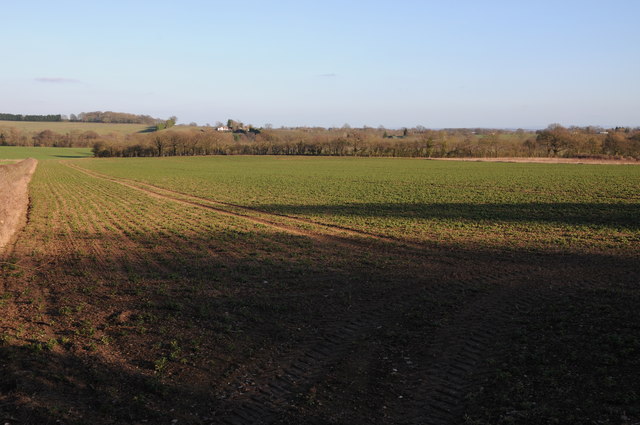
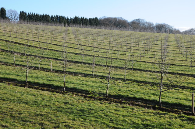
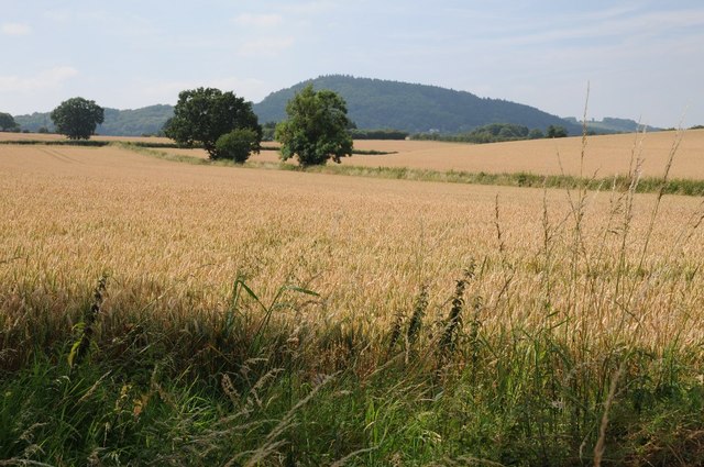
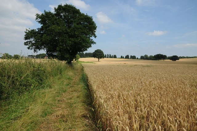
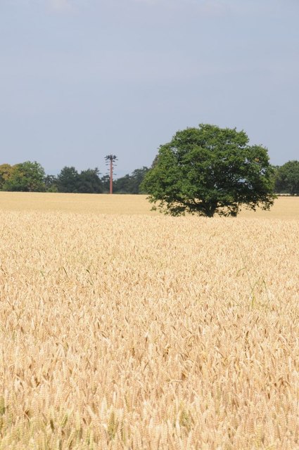
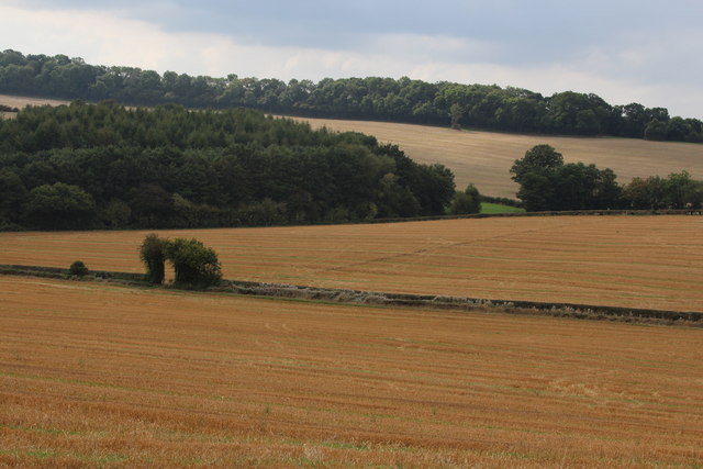
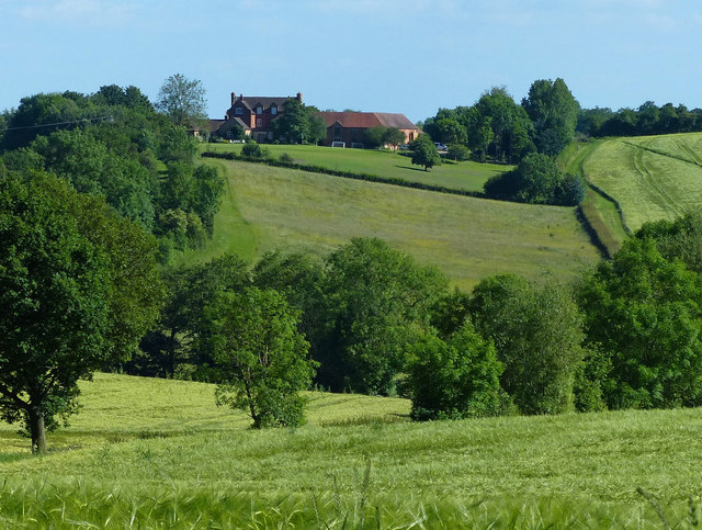
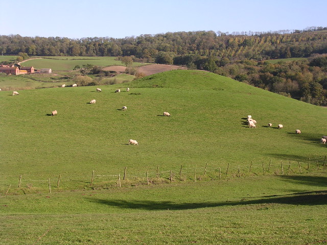
Brookfield Coppice is a picturesque woodland located in Worcestershire, England. Covering an area of approximately 50 acres, it is a popular destination for nature enthusiasts and hikers alike. The coppice is situated within close proximity to the bustling town of Bromsgrove, making it easily accessible for visitors.

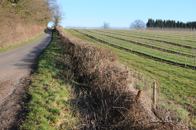
The woodland is characterized by its diverse range of tree species, including oak, birch, and hazel, which create a dense and vibrant canopy. This creates a haven for wildlife, with a multitude of bird species, deer, and small mammals calling the coppice their home.

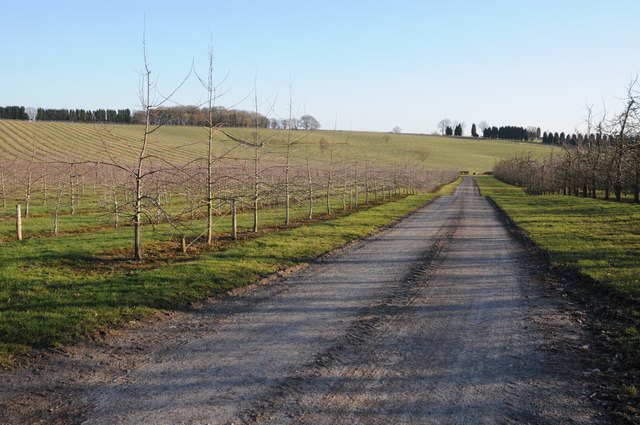
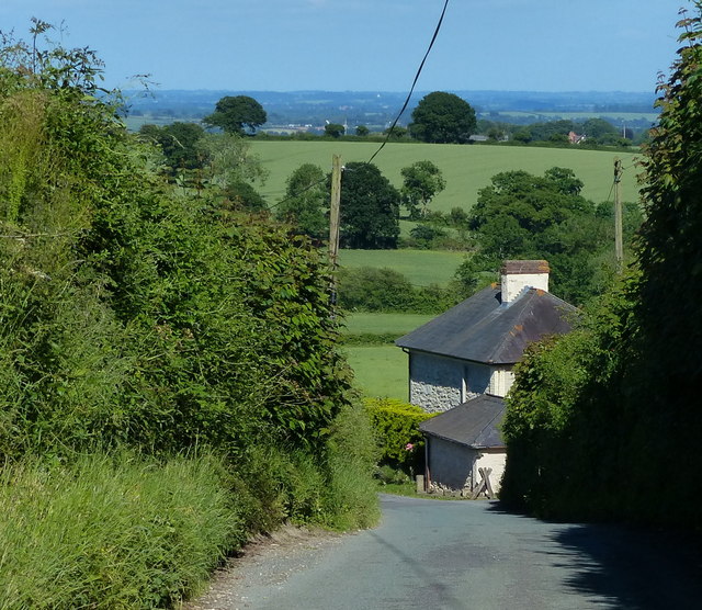
A network of well-maintained trails winds through the woodland, allowing visitors to explore its beauty at their own pace. The paths are clearly marked, ensuring a safe and enjoyable experience for all. Along the way, hikers will encounter babbling brooks, charming bridges, and tranquil ponds, enhancing the serene atmosphere of the woodland.

Brookfield Coppice also boasts a rich history, with evidence of ancient settlements and agricultural activity dating back centuries. Archaeological discoveries, such as pottery fragments and tools, have been found within the woodland, providing insights into the past inhabitants of the area.

The woodland is managed by the local authorities, who prioritize its preservation and conservation. Educational programs are often held, allowing school children and interested individuals to learn about the importance of woodlands in the ecosystem and the measures taken to protect them.

Overall, Brookfield Coppice offers a serene and enchanting escape from the hustle and bustle of daily life, providing a haven for both nature lovers and history enthusiasts alike.

If you have any feedback on the listing, please let us know in the comments section below.

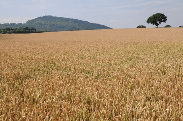
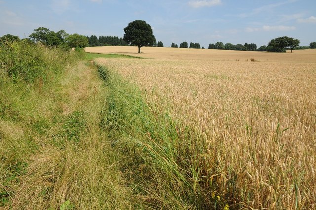
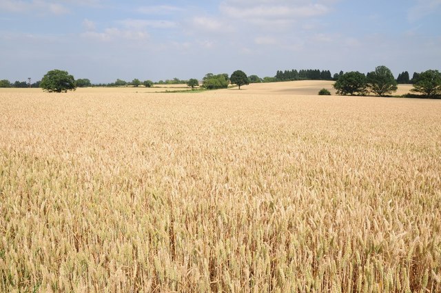
Brookfield Coppice Images

Images are sourced within 2km of 52.259903/-2.3471867 or Grid Reference SO7662. Thanks to Geograph Open Source API. All images are credited.

Farmland on the Martley circular walk
Penny Hill Quarry A striking fragment of Wenlock Limestone from the Silurian, now one of the sites in the Abberley and Malvern Hills Geopark, accessible through a waste recycling site in the former quarry.
Penny Hill Quarry
A striking fragment of Wenlock Limestone from the Silurian, now one of the sites in the Abberley and Malvern Hills Geopark, accessible through a waste recycling site in the former quarry.
Road past Rimmer's Farm Country road past Rimmer's Farm near Wichenford.
Road past Rimmer's Farm
Country road past Rimmer's Farm near Wichenford.
Staggered crossroads Staggered crossroads near Wichenford with the road to the right going to Witton Hill and Rosses lane, a no through road on the left.
Staggered crossroads
Staggered crossroads near Wichenford with the road to the right going to Witton Hill and Rosses lane, a no through road on the left.
Apple trees A young orchard of apple trees near Prickley Green Farm, Martley.
Apple trees
A young orchard of apple trees near Prickley Green Farm, Martley.
Arable land near Martley Arable land to the east of the B4197 to the north of Martley.
Arable land near Martley
Arable land to the east of the B4197 to the north of Martley.
Acres of trees Acres of apple trees at Hockham's Farm.
Acres of trees
Acres of apple trees at Hockham's Farm.
Road to Ockeridge Country road to Ockeridge passing acres of apple orchards.
Road to Ockeridge
Country road to Ockeridge passing acres of apple orchards.
Orchard of apple trees Orchard of apple trees near Hockham's Farm.
Orchard of apple trees
Orchard of apple trees near Hockham's Farm.
Wheat field and Woodbury Hill View across a wheat field with Woodbury Hill in the distance and an oak tree on the horizon on the right.
Wheat field and Woodbury Hill
View across a wheat field with Woodbury Hill in the distance and an oak tree on the horizon on the right.
Bridleway near Bank Farm The bridleway has been slightly realigned to avoid passing through the field and crop of wheat.
Bridleway near Bank Farm
The bridleway has been slightly realigned to avoid passing through the field and crop of wheat.
Fields of gold Wheat fields near Bank Farm near Little Whitley.
Fields of gold
Wheat fields near Bank Farm near Little Whitley.
Wheat fields and Woodbury Hill View across wheat fields to Woodbury Hill.
Wheat fields and Woodbury Hill
View across wheat fields to Woodbury Hill.
Bridleway approaching Bank Farm The bridleway has been realigned to avoid walking through the wheat crop.
Bridleway approaching Bank Farm
The bridleway has been realigned to avoid walking through the wheat crop.
A telecom tower in disguise A telecom tower in disguise attempting to look like a tree.
A telecom tower in disguise
A telecom tower in disguise attempting to look like a tree.
Crop field by Fetterlocks lane
View south towards Rodge Hill Farm
The Briars at High Fetterlocks
Show me another place!

Brookfield Coppice is located at Grid Ref: SO7662 (Lat: 52.259903, Lng: -2.3471867)

Administrative County: Worcestershire

District: Malvern Hills

Police Authority: West Mercia

What 3 Words

///deploying.schools.rooster. Near Lower Broadheath, Worcestershire

Related Wikis

Little Witley

Little Witley is a village and civil parish in the Malvern Hills District in the county of Worcestershire, England. == History == === Pre-history === There...

Woodbury Hill

Woodbury Hill is a hill near the village of Great Witley, about 5 miles (8 km) south-west of Stourport-on-Severn in Worcestershire, England. It is the...

The Chantry School

The Chantry School is a mixed gender secondary school with academy status located in Martley, Worcestershire, England. The school has about 700 students...

Witley Court

Witley Court, in Great Witley, Worcestershire, England, is a ruined Italianate mansion. Built for the Foleys in the seventeenth century on the site of...

Great Witley

Great Witley is a village and civil parish in the Malvern Hills District in the northwest of the county of Worcestershire, England. It is situated around...

Martley

Martley is a village and civil parish in the Malvern Hills district of the English county of Worcestershire. It is approximately nine miles north-west...

Ham Castle

Ham Castle (also known as Home or Homme Castle) is located in Worcestershire at the bottom of a wooded escarpment (and close to the River Teme), within...

Wichenford

Wichenford is a village and civil parish (with Kenswick) in the Malvern Hills District in the county of Worcestershire, England. It lies 7 miles (11km...

Nearby Amenities

Located within 500m of 52.259903,-2.3471867
Hockhams Farm
Naptan AtcoCode: 2000G653001
Naptan Bearing: W
Naptan BusStopType: CUS
Naptan CommonName: Hockhams Farm
Naptan Indicator: Adj
Naptan Landmark: Hockham's Farm
Naptan NaptanCode: wocdmtmj
Naptan Street: Hockhams Lane
Naptan Verified: no
Source: naptan_import
Lat/Long: 52.2642293/-2.3453409
Hockham's Farm
Power: pole
Transformer: distribution
Voltage Primary: 11000
Lat/Long: 52.2634606/-2.3454309
Hockham's Farm Orchard
Power: transformer
Transformer: distribution
Voltage Primary: 11000
Lat/Long: 52.260117/-2.3425716
Power: pole
Lat/Long: 52.2635209/-2.345805
Hockham's Farm Cottage
Power: pole
Transformer: distribution
Voltage Primary: 11000
Lat/Long: 52.2636654/-2.3466271
Power: pole
Lat/Long: 52.2643253/-2.3468336
The data included in this document is from www.openstreetmap.org. The data is made available under ODbL.

Have you been to Brookfield Coppice?

Leave your review of Brookfield Coppice below (or comments, questions and feedback).