Witton Hill

Settlement in Worcestershire Malvern Hills

England

Witton Hill

Country scene north of The Coppice Leisure Park
Country scene north of The Coppice Leisure Park Credit: Alex McGregor

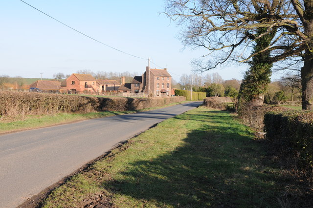
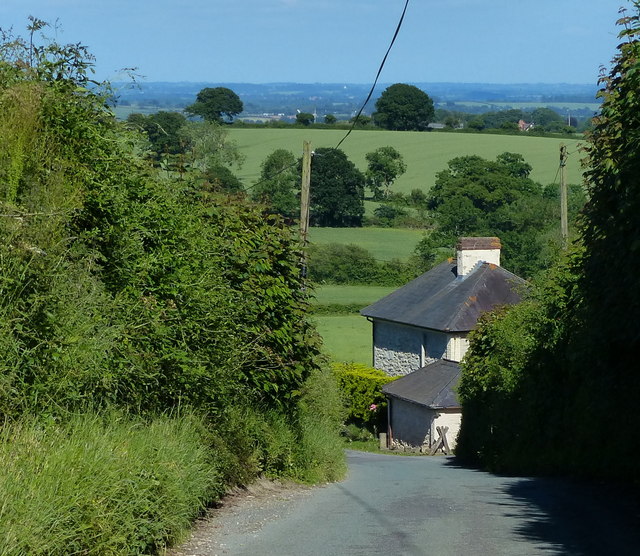
Witton Hill is a picturesque village located in the county of Worcestershire, England. Situated on the eastern side of the Malvern Hills, it offers breathtaking views of the surrounding countryside. The village is part of the administrative district of Wychavon and is approximately 6 miles southeast of the town of Droitwich Spa.

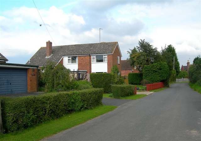
With a population of around 500 residents, Witton Hill maintains a close-knit community atmosphere. The village is characterized by a mix of traditional and modern architecture, with charming cottages and contemporary homes blending seamlessly. The picturesque St. Michael's Church, dating back to the 12th century, stands as a prominent landmark in the area.

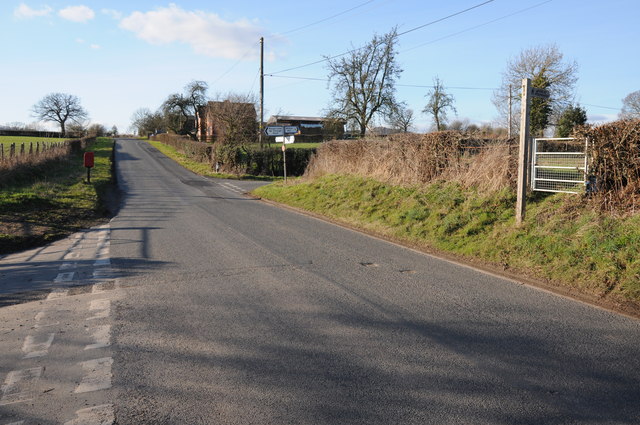
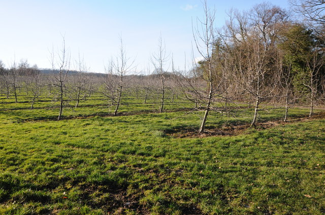
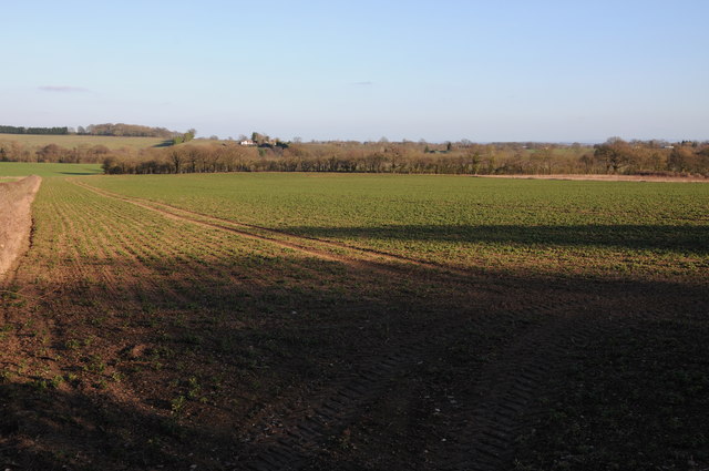
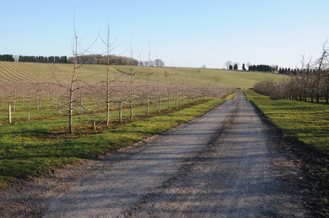
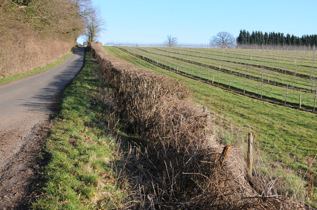
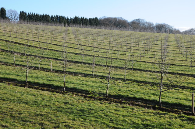
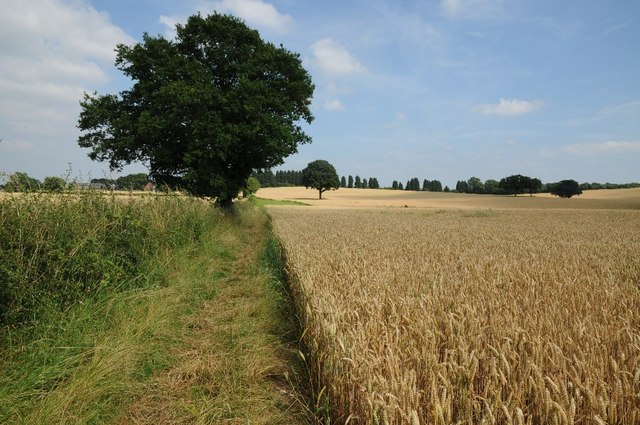
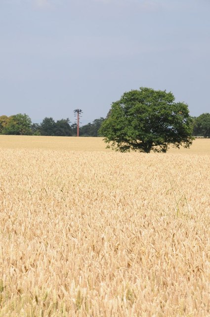
Witton Hill is renowned for its natural beauty, attracting outdoor enthusiasts and nature lovers. The nearby Malvern Hills provide ample opportunities for hiking, cycling, and wildlife observation. The village is also surrounded by lush green fields and woodlands, offering peaceful walks and idyllic picnic spots.

Despite its tranquil rural setting, Witton Hill benefits from good transportation links. The nearby M5 motorway provides easy access to larger towns and cities, making it an appealing location for commuters seeking a peaceful residential area.

The village lacks its own amenities, such as shops or schools, but it is within close proximity to other villages and towns that offer these facilities. This allows residents to enjoy the tranquility of Witton Hill while still having access to essential services.

Overall, Witton Hill is a charming rural village nestled in the heart of Worcestershire. Its stunning natural landscapes, community spirit, and convenient location make it an attractive place to live or visit for those seeking a peaceful and picturesque setting.

If you have any feedback on the listing, please let us know in the comments section below.
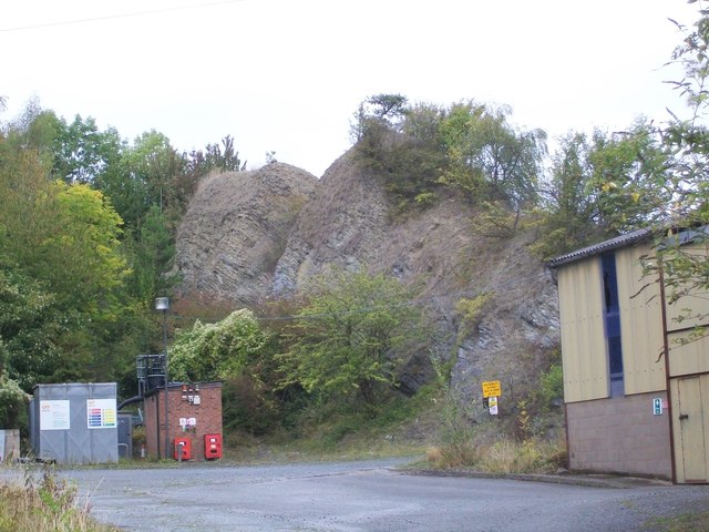
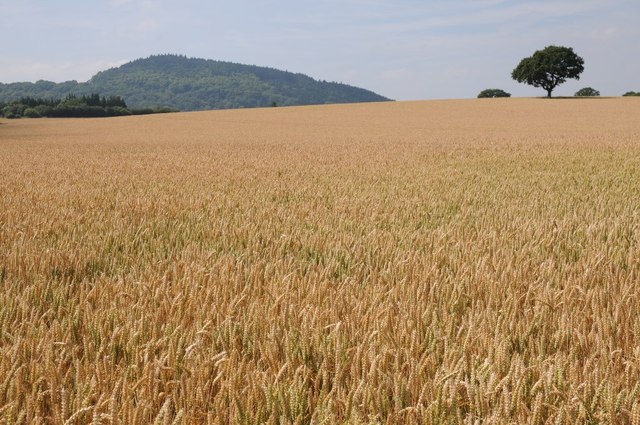
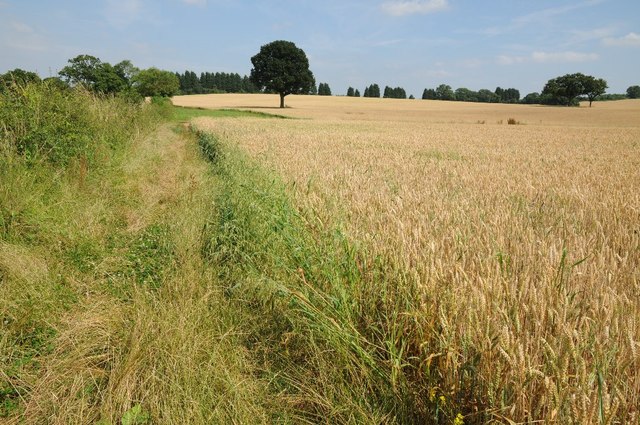
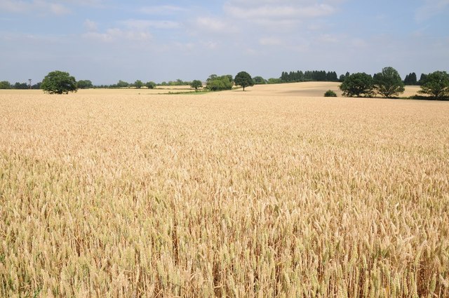
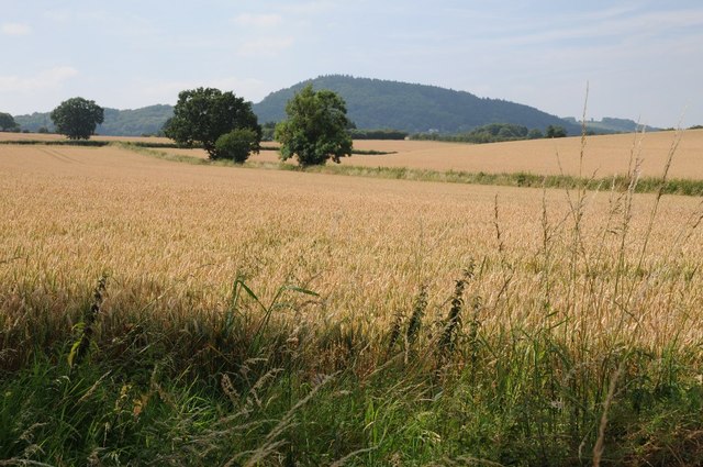
Witton Hill Images

Images are sourced within 2km of 52.256547/-2.339855 or Grid Reference SO7662. Thanks to Geograph Open Source API. All images are credited.

Country scene north of The Coppice Leisure Park
Penny Hill Quarry A striking fragment of Wenlock Limestone from the Silurian, now one of the sites in the Abberley and Malvern Hills Geopark, accessible through a waste recycling site in the former quarry.
Penny Hill Quarry
A striking fragment of Wenlock Limestone from the Silurian, now one of the sites in the Abberley and Malvern Hills Geopark, accessible through a waste recycling site in the former quarry.
St Michael’s Church, Little Witley Although there has been a church from the 13th Century, the present building dates from 1867 when it was re-built in the ‘Early English’ style by Abraham Edward Perkins, Worcester’s church architect. The new nave walls were built on the lower red sandstone courses of the old church but the footprint was extended with the addition of an apsidal east end and vestry.
St Michael’s Church, Little Witley
Although there has been a church from the 13th Century, the present building dates from 1867 when it was re-built in the ‘Early English’ style by Abraham Edward Perkins, Worcester’s church architect. The new nave walls were built on the lower red sandstone courses of the old church but the footprint was extended with the addition of an apsidal east end and vestry.
Road to King's Green Road to King's Green near Wichenford.
Road to King's Green
Road to King's Green near Wichenford.
Road past Rimmer's Farm Country road past Rimmer's Farm near Wichenford.
Road past Rimmer's Farm
Country road past Rimmer's Farm near Wichenford.
Staggered crossroads Staggered crossroads near Wichenford with the road to the right going to Witton Hill and Rosses lane, a no through road on the left.
Staggered crossroads
Staggered crossroads near Wichenford with the road to the right going to Witton Hill and Rosses lane, a no through road on the left.
Apple trees A young orchard of apple trees near Prickley Green Farm, Martley.
Apple trees
A young orchard of apple trees near Prickley Green Farm, Martley.
Arable land near Martley Arable land to the east of the B4197 to the north of Martley.
Arable land near Martley
Arable land to the east of the B4197 to the north of Martley.
Acres of trees Acres of apple trees at Hockham's Farm.
Acres of trees
Acres of apple trees at Hockham's Farm.
Road to Ockeridge Country road to Ockeridge passing acres of apple orchards.
Road to Ockeridge
Country road to Ockeridge passing acres of apple orchards.
Orchard of apple trees Orchard of apple trees near Hockham's Farm.
Orchard of apple trees
Orchard of apple trees near Hockham's Farm.
Wheat field and Woodbury Hill View across a wheat field with Woodbury Hill in the distance and an oak tree on the horizon on the right.
Wheat field and Woodbury Hill
View across a wheat field with Woodbury Hill in the distance and an oak tree on the horizon on the right.
Bridleway near Bank Farm The bridleway has been slightly realigned to avoid passing through the field and crop of wheat.
Bridleway near Bank Farm
The bridleway has been slightly realigned to avoid passing through the field and crop of wheat.
Fields of gold Wheat fields near Bank Farm near Little Whitley.
Fields of gold
Wheat fields near Bank Farm near Little Whitley.
Wheat fields and Woodbury Hill View across wheat fields to Woodbury Hill.
Wheat fields and Woodbury Hill
View across wheat fields to Woodbury Hill.
Bridleway approaching Bank Farm The bridleway has been realigned to avoid walking through the wheat crop.
Bridleway approaching Bank Farm
The bridleway has been realigned to avoid walking through the wheat crop.
A telecom tower in disguise A telecom tower in disguise attempting to look like a tree.
A telecom tower in disguise
A telecom tower in disguise attempting to look like a tree.
The Briars at High Fetterlocks
Show me another place!

Witton Hill is located at Grid Ref: SO7662 (Lat: 52.256547, Lng: -2.339855)

Administrative County: Worcestershire

District: Malvern Hills

Police Authority: West Mercia

What 3 Words

///dimension.overtones.helps. Near Lower Broadheath, Worcestershire

Related Wikis

Little Witley

Little Witley is a village and civil parish in the Malvern Hills District in the county of Worcestershire, England. == History == === Pre-history === There...

The Chantry School

The Chantry School is a mixed gender secondary school with academy status located in Martley, Worcestershire, England. The school has about 700 students...

Wichenford

Wichenford is a village and civil parish (with Kenswick) in the Malvern Hills District in the county of Worcestershire, England. It lies 7 miles (11km...

Martley

Martley is a village and civil parish in the Malvern Hills district of the English county of Worcestershire. It is approximately nine miles north-west...

Nearby Amenities

Located within 500m of 52.256547,-2.339855
Ross Green- Bus Stop
Naptan AtcoCode: 2000G202600
Naptan Bearing: SE
Naptan BusStopType: CUS
Naptan CommonName: Ross Green- Bus Stop
Naptan Indicator: Opp
Naptan Landmark: Rossees Lane
Naptan NaptanCode: wocdgtmg
Naptan Street: Horn Lane
Naptan Verified: no
Source: naptan_import
Lat/Long: 52.2524701/-2.3389798
Post Box
Collection Times: Mo-Fr 15:00; Sa 09:30
Post Box Type: lamp
Ref: WR6 482
Royal Cypher: EIIR
Royal Cypher Wikidata: Q33102113
Lat/Long: 52.2524582/-2.3392568
Power: pole
Lat/Long: 52.2551513/-2.3456863
Power: pole
Lat/Long: 52.2554748/-2.3434554
Power: pole
Lat/Long: 52.2554452/-2.34229
Power: pole
Lat/Long: 52.2554953/-2.3445404
Pughs Rough Farm
Power: pole
Transformer: distribution
Voltage Primary: 11000
Lat/Long: 52.2569688/-2.334352
Power: pole
Lat/Long: 52.2568872/-2.3350795
Power: pole
Lat/Long: 52.2567743/-2.3360974
Power: pole
Lat/Long: 52.2566401/-2.3372481
Power: pole
Lat/Long: 52.2564529/-2.3389392
Power: pole
Lat/Long: 52.2563064/-2.340228
Witton Hill
Power: pole
Transformer: distribution
Voltage Primary: 11000
Lat/Long: 52.2560088/-2.3409073
Power: pole
Lat/Long: 52.2554058/-2.3408939
Power: pole
Lat/Long: 52.2553697/-2.3395997
Power: pole
Lat/Long: 52.2548615/-2.3390566
Newland Cottage Witton Hill
Power: pole
Transformer: distribution
Voltage Primary: 11000
Lat/Long: 52.254355/-2.3385228
Power: pole
Lat/Long: 52.2524035/-2.3387401
Power: pole
Lat/Long: 52.2530283/-2.3380762
Power: pole
Lat/Long: 52.2537516/-2.3373064
Power: pole
Lat/Long: 52.2531202/-2.3360431
Hockham's Farm Orchard
Power: transformer
Transformer: distribution
Voltage Primary: 11000
Lat/Long: 52.260117/-2.3425716
The data included in this document is from www.openstreetmap.org. The data is made available under ODbL.

Have you been to Witton Hill?

Leave your review of Witton Hill below (or comments, questions and feedback).