Accrington Moor
Downs, Moorland in Lancashire Hyndburn
England
Accrington Moor
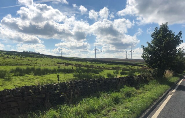
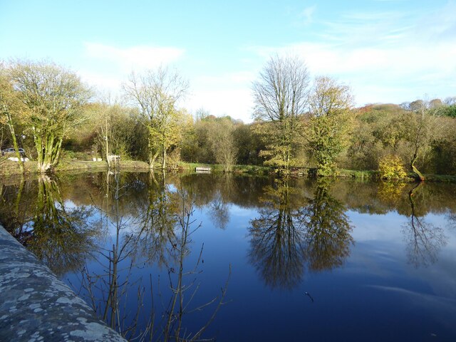
Accrington Moor is a vast expanse of moorland located in Lancashire, England. Situated near the town of Accrington, it covers an area of approximately 1,500 acres and is a significant nature reserve in the region. The moorland is characterized by its rolling hills, heather-covered landscapes, and open spaces, offering visitors a serene and tranquil environment.
The moorland terrain is predominantly composed of peat, giving it a unique and distinctive appearance. This type of environment provides an ideal habitat for a diverse range of flora and fauna. Visitors can expect to encounter various species of birds, including skylarks and curlews, as well as small mammals such as rabbits and foxes.
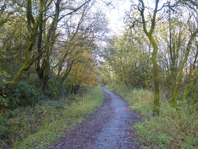
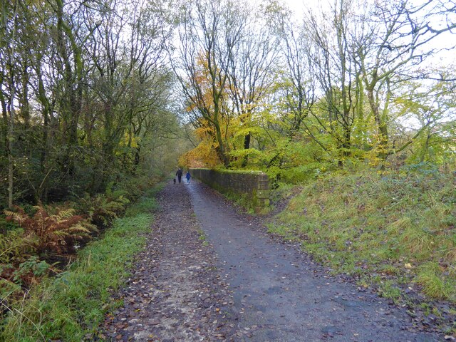
Accrington Moor is a popular destination for outdoor enthusiasts and nature lovers. It offers numerous walking and hiking trails, allowing visitors to explore the vast expanse of the moorland and enjoy the stunning panoramic views of the surrounding countryside. The area is also known for its archaeological significance, with remnants of ancient settlements and structures scattered throughout the moor.
The moorland is managed and protected by local conservation organizations, ensuring the preservation of its natural beauty and ecological diversity. Visitors are encouraged to adhere to designated paths and respect the delicate ecosystem that exists within the moor. Information boards and educational resources are available to provide visitors with insights into the history and significance of Accrington Moor.
Overall, Accrington Moor is a captivating and picturesque nature reserve, offering visitors an opportunity to immerse themselves in the beauty of Lancashire's countryside and experience its rich natural heritage.
If you have any feedback on the listing, please let us know in the comments section below.
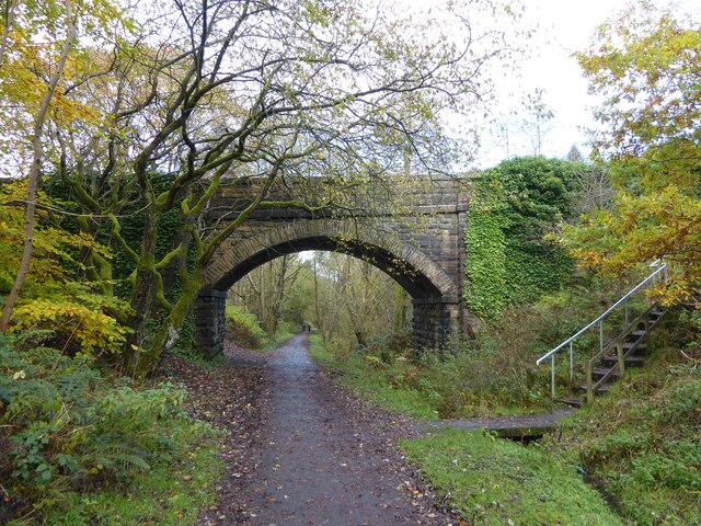
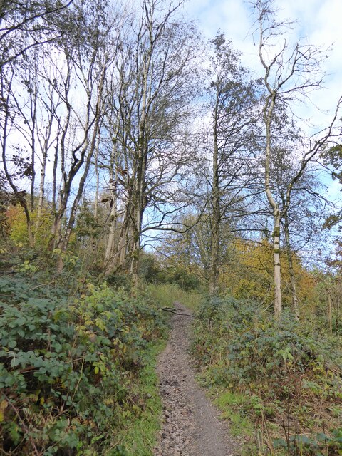
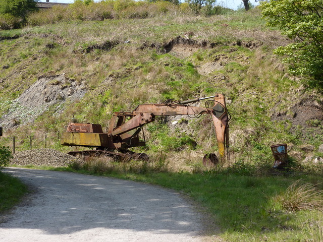
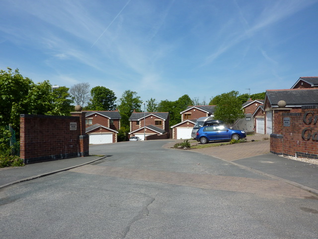
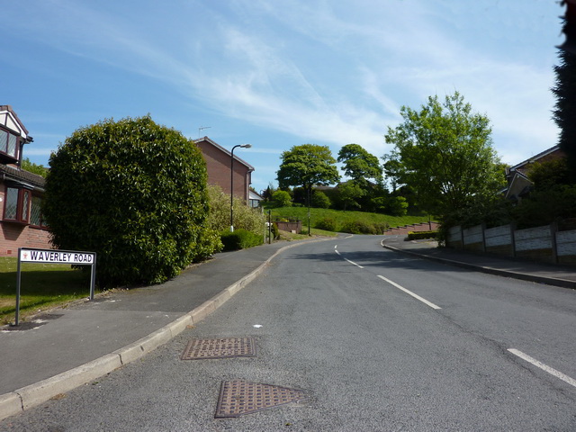
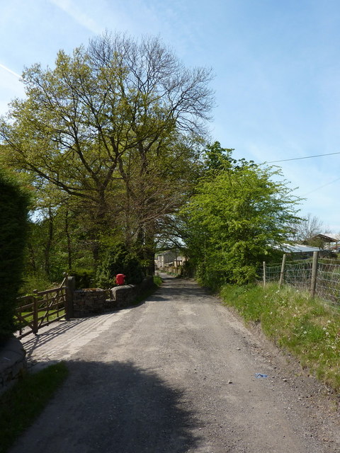
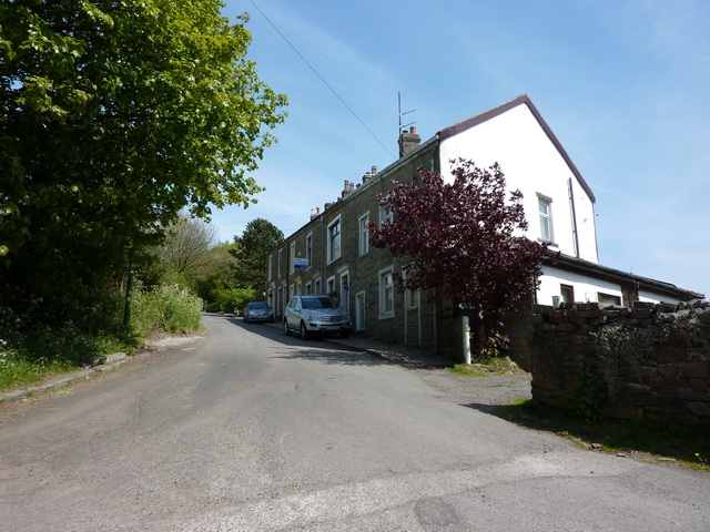
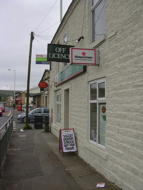
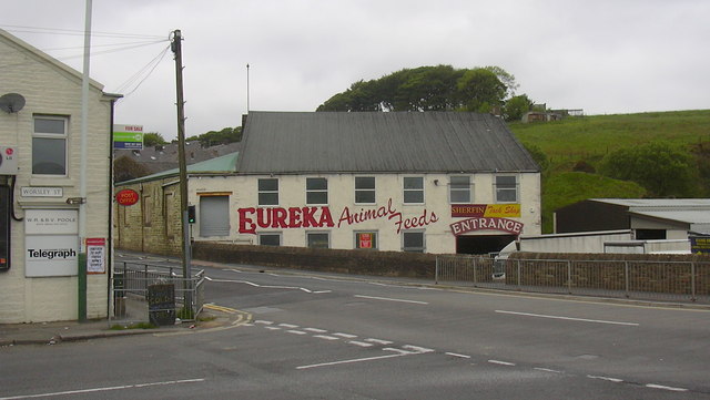
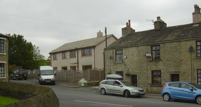
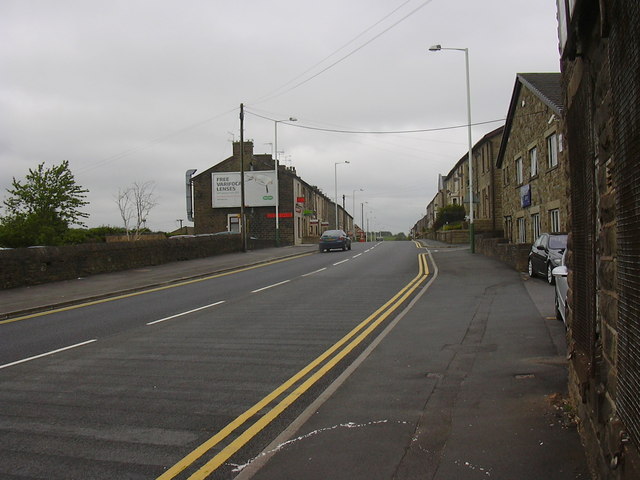
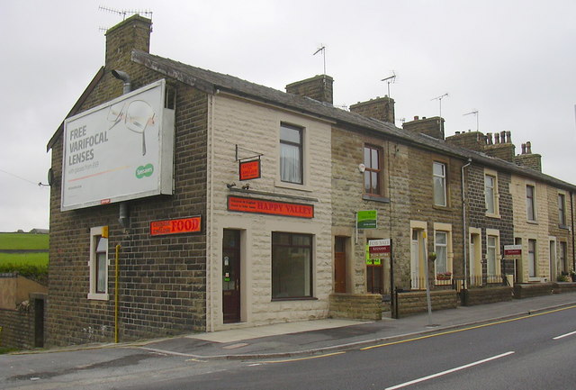
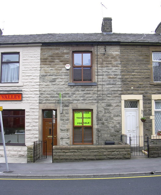
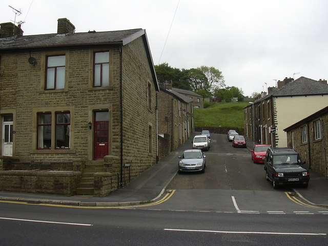
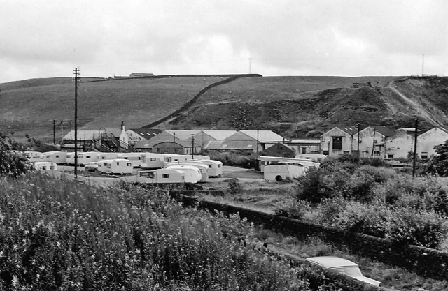
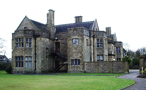
Accrington Moor Images
Images are sourced within 2km of 53.728248/-2.3620101 or Grid Reference SD7625. Thanks to Geograph Open Source API. All images are credited.
Accrington Moor is located at Grid Ref: SD7625 (Lat: 53.728248, Lng: -2.3620101)
Administrative County: Lancashire
District: Hyndburn
Police Authority: Lancashire
What 3 Words
///complies.director.straying. Near Accrington, Lancashire
Nearby Locations
Related Wikis

The Hollins
The Hollins (formerly known as The Hollins Technology College until 2017) is a coeducational secondary school located in Accrington in the English county...
Baxenden railway station
Baxenden railway station served the villages of Baxenden in Hyndburn and Rising Bridge in Rossendale. It was situated just inside the old boundary of Haslingden...
Haworth Art Gallery
The Haworth Art Gallery is a public art gallery located in Accrington, Lancashire, northwest England, and is the home of the largest collection in Europe...
Baxenden
Baxenden is a village and ward in the Borough of Hyndburn in Lancashire, North-West England. The ward population taken at the 2011 census was 4,042. Baxenden...

Mount Carmel Roman Catholic High School
Mount Carmel Roman Catholic High School is a coeducational Roman Catholic secondary school located in Accrington, a town located in the county of Lancashire...

Accrington and Rossendale College
Accrington and Rossendale College is a further education college based in Accrington, Lancashire, England. == The College == Accrington & Rossendale College...
Heathland School
Heathland School is an independent school situated in Accrington, Lancashire in England. The school accepts children from the age of three months in the...

Globe Works, Accrington
The Globe Works is a former industrial works in Accrington, Lancashire, England, that following refurbishment contains rented offices and conference rooms...
Nearby Amenities
Located within 500m of 53.728248,-2.3620101Have you been to Accrington Moor?
Leave your review of Accrington Moor below (or comments, questions and feedback).