Wet Moss
Downs, Moorland in Lancashire Rossendale
England
Wet Moss
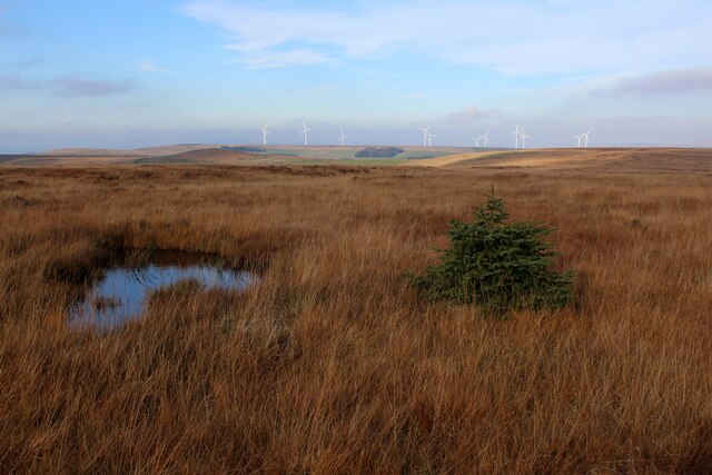
Wet Moss, Lancashire, is a picturesque region nestled in the northwest of England. Known for its diverse landscape, Wet Moss boasts stunning downs and moorland that attracts nature enthusiasts and hikers alike. The area receives abundant rainfall, contributing to the lush growth of moss and creating a unique ecosystem.
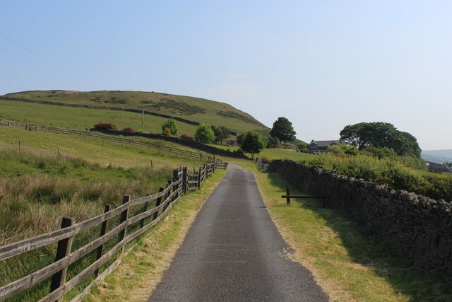
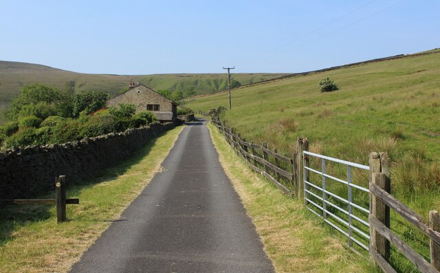
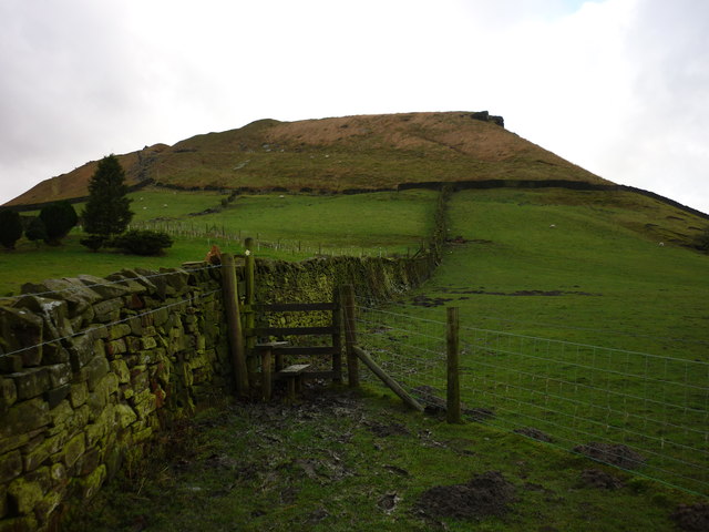
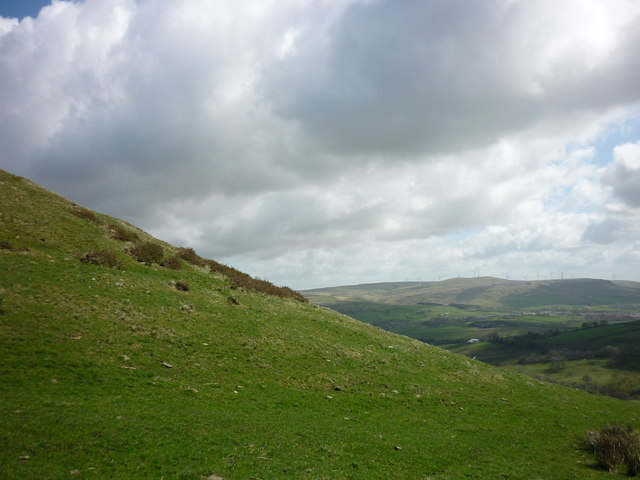
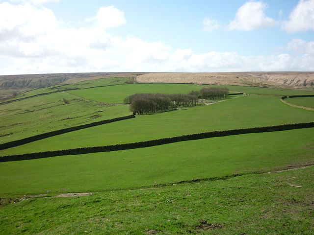
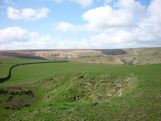
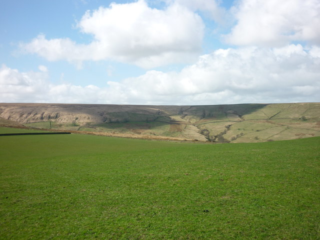
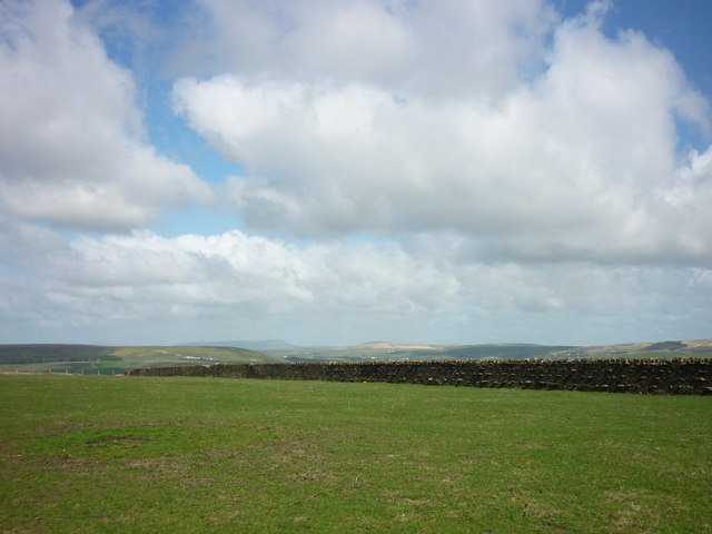
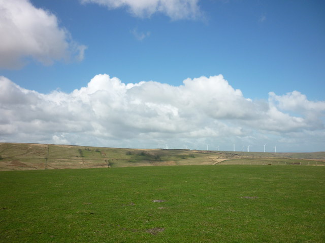
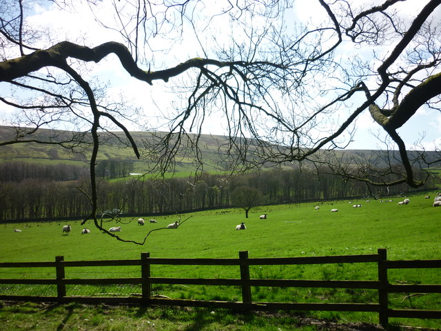
The downs of Wet Moss are characterized by gently rolling hills covered in a carpet of vibrant green grass. These open expanses offer breathtaking views of the surrounding countryside, dotted with sheep grazing peacefully. The area is a haven for birdwatchers, as it is home to a variety of avian species, including the majestic peregrine falcon and the elusive curlew.
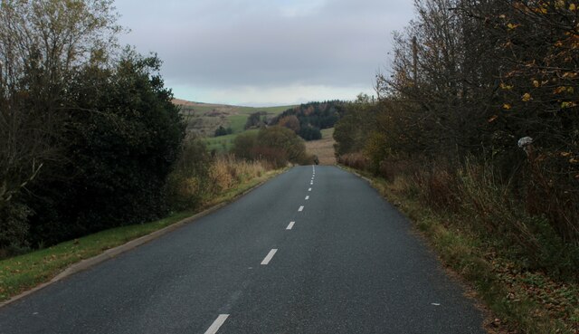
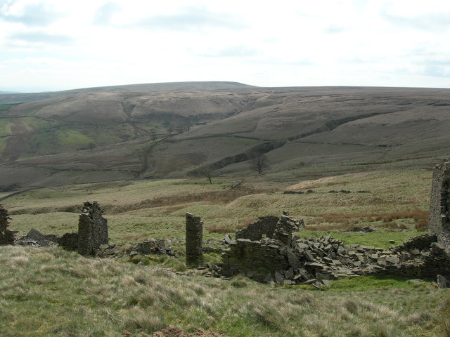
On the other hand, the moorland of Wet Moss presents a wilder and more rugged landscape. Thick blankets of moss cover the rocky terrain, creating a mystical and ethereal atmosphere. The moorland is traversed by numerous walking trails, allowing visitors to immerse themselves in the beauty of this untamed wilderness. The heather that blooms in late summer adds a splash of purple to the landscape, creating a stunning contrast against the green moss.
Wet Moss, Lancashire, is also known for its rich history and cultural heritage. The region is home to quaint villages and ancient archaeological sites, offering visitors a glimpse into the past. The local communities take pride in preserving their heritage, and traditional customs and festivals are celebrated throughout the year.
In conclusion, Wet Moss, Lancashire, is a captivating destination that showcases the beauty of downs and moorland. With its stunning landscapes, diverse wildlife, and rich history, Wet Moss offers a truly unforgettable experience for all who visit.
If you have any feedback on the listing, please let us know in the comments section below.
Wet Moss Images
Images are sourced within 2km of 53.668361/-2.3618141 or Grid Reference SD7619. Thanks to Geograph Open Source API. All images are credited.
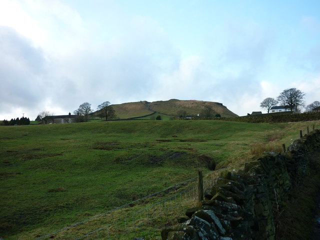
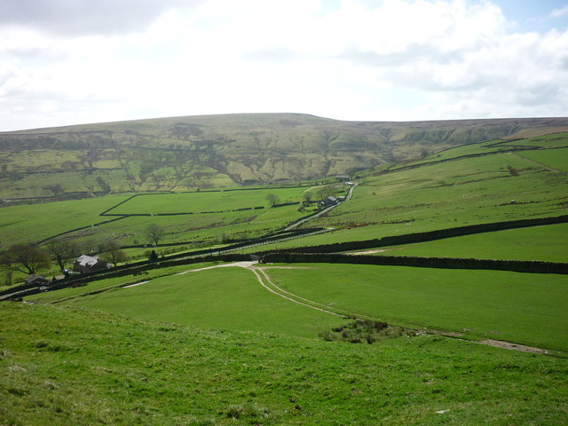
![Looking east from Causeway End The town in view is Helshore, and the green plateau on the right is Tor Hill [SD7720].](https://s3.geograph.org.uk/geophotos/02/98/86/2988687_c412c947.jpg)
Wet Moss is located at Grid Ref: SD7619 (Lat: 53.668361, Lng: -2.3618141)
Administrative County: Lancashire
District: Rossendale
Police Authority: Lancashire
What 3 Words
///smokers.fluid.flashback. Near Edgworth, Lancashire
Nearby Locations
Related Wikis

Alden Valley
The Alden Valley is a small valley on the eastern edge of the West Pennine Moors, west of Helmshore in Rossendale, Lancashire, England. In the 14th century...

Musbury Tor
Musbury Tor or Tor Hill is a flat-topped hill in south-east Lancashire, England. It overlooks the village of Helmshore and separates Alden Valley to its...

Musbury Valley
The Musbury Valley is a small valley in the Helmshore area of Rossendale Valley, Lancashire. Musbury Brook flows through its length, and its south side...
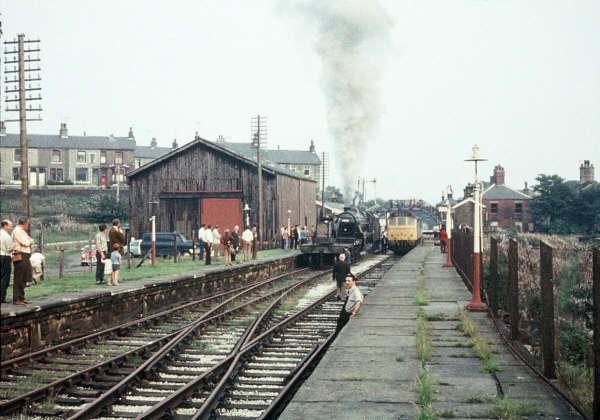
Helmshore railway station
Helmshore railway station served the village of Helmshore, Rossendale, Lancashire between 1848 and 1966. == Construction and location == Helmshore station...

Helmshore Mills Textile Museum
Helmshore Mills are two mills built on the River Ogden in Helmshore, Lancashire. Higher Mill was built in 1796 for William Turner, and Whitaker's Mill...

Chatterton, Lancashire
Chatterton is a small village in the southern part of the Rossendale Valley, Lancashire, England. It is half a mile north of Ramsbottom town centre on...

Strongstry
Strongstry is a small hamlet in Rossendale, Lancashire, England. The hamlet is only accessible by an unadopted road running through a factory. It is accessible...
Helmshore
Helmshore () is a village in the Rossendale Valley, Lancashire, England, south of Haslingden between the A56 and the B6235, 16 miles (26 km) north of Manchester...
Have you been to Wet Moss?
Leave your review of Wet Moss below (or comments, questions and feedback).