Friar Hill
Hill, Mountain in Lancashire Hyndburn
England
Friar Hill

Friar Hill is a prominent geographical feature located in the county of Lancashire, England. Situated in the southern part of the county, this hill is part of the larger West Pennine Moors range and stands at an elevation of approximately 350 meters (1,150 feet) above sea level.
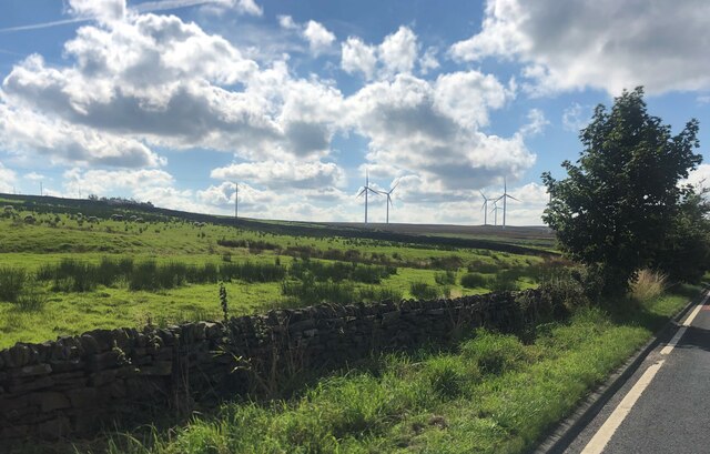
Covered in lush green vegetation, Friar Hill offers breathtaking panoramic views of the surrounding countryside and nearby towns. Its slopes are adorned with a variety of plant species, including heather, bracken, and grasses, which create a picturesque landscape throughout the year. The hill is a haven for wildlife, providing a habitat for numerous bird species, such as grouse, curlews, and skylarks, as well as small mammals like rabbits and hares.
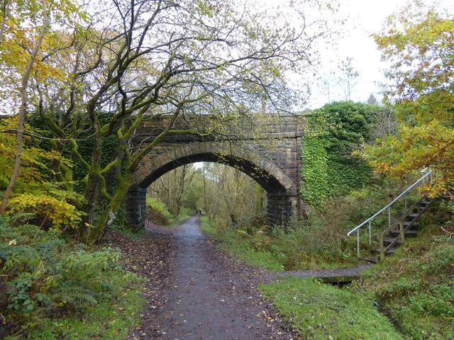
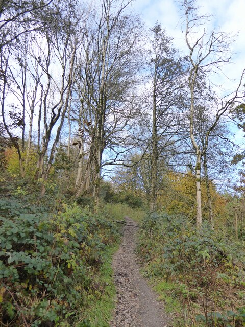
Friar Hill is a popular destination for outdoor enthusiasts and nature lovers, offering various walking and hiking routes that cater to all levels of fitness. As visitors ascend the hill, they can enjoy the tranquility of the countryside and relish the fresh air. Additionally, the hill is intersected by several well-maintained footpaths that provide access to neighboring areas, allowing for longer excursions and exploration of the wider moorland area.
Nearby, there are amenities such as car parks and picnic areas, which provide convenient facilities for visitors to enjoy a day out in nature. The hill's proximity to towns such as Bolton and Chorley makes it easily accessible for both locals and tourists.
In conclusion, Friar Hill in Lancashire is a captivating natural landmark that offers stunning views, diverse flora and fauna, and a range of recreational opportunities for those who appreciate the beauty of the British countryside.
If you have any feedback on the listing, please let us know in the comments section below.
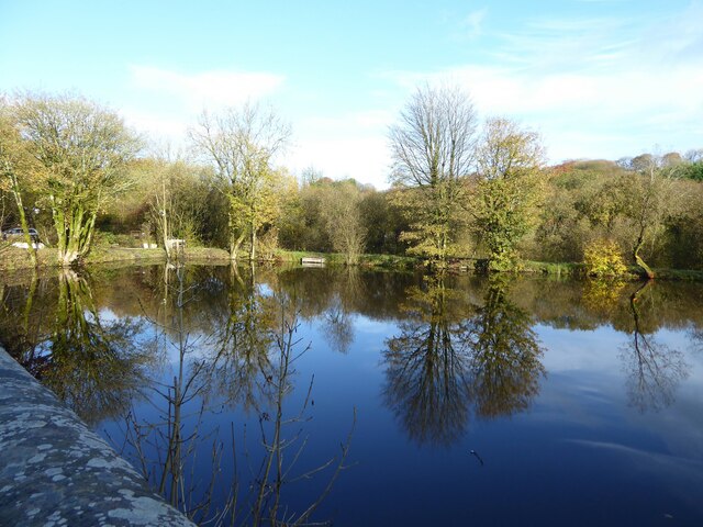
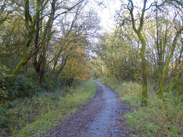
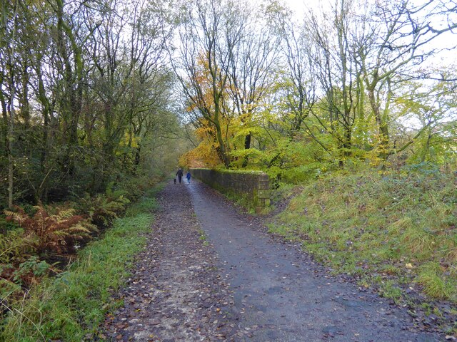
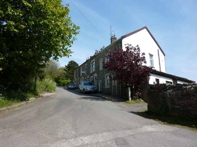
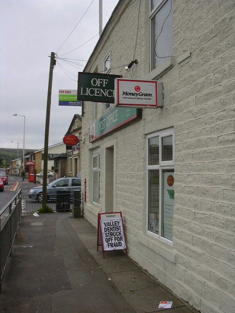
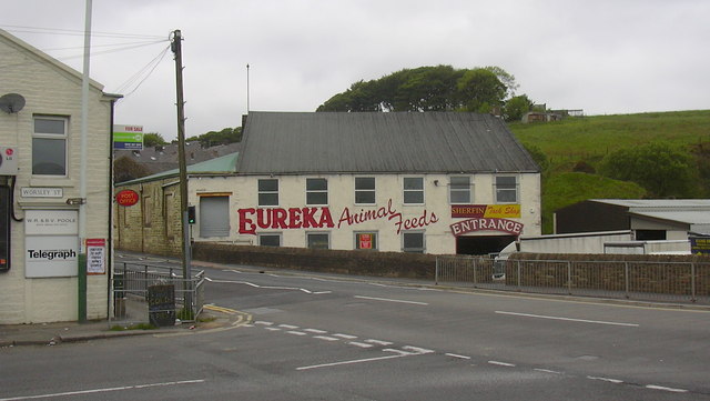
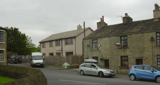
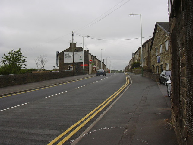
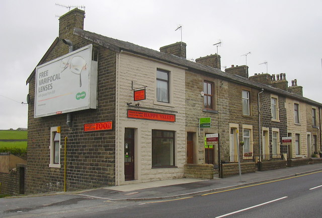
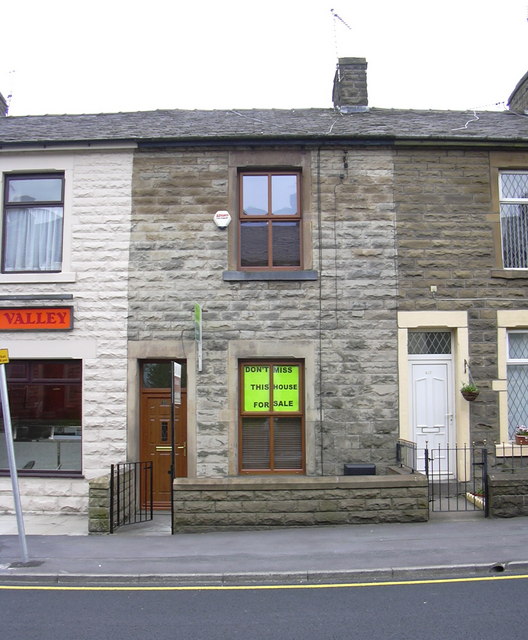
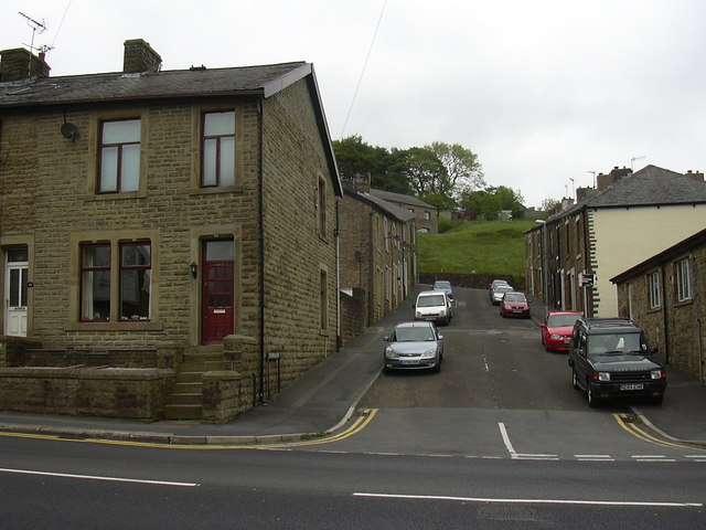
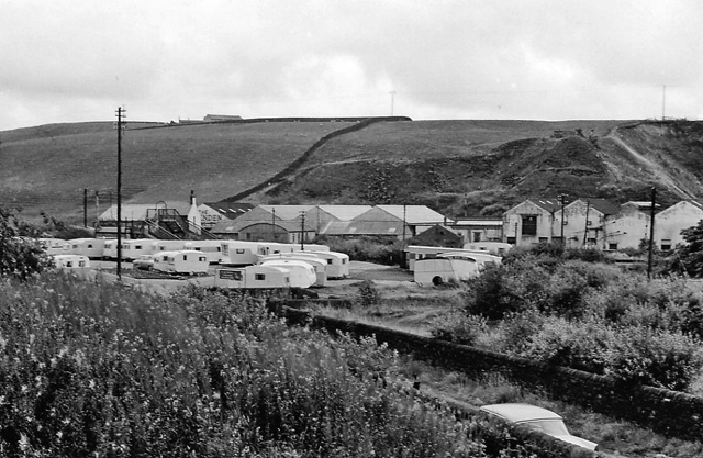
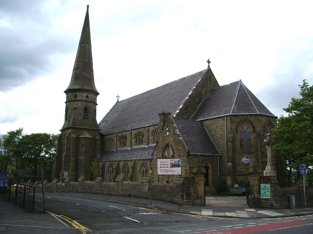
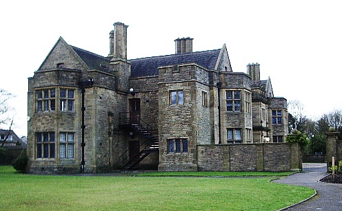
Friar Hill Images
Images are sourced within 2km of 53.72613/-2.3610977 or Grid Reference SD7625. Thanks to Geograph Open Source API. All images are credited.

Friar Hill is located at Grid Ref: SD7625 (Lat: 53.72613, Lng: -2.3610977)
Administrative County: Lancashire
District: Hyndburn
Police Authority: Lancashire
What 3 Words
///insisting.pardon.voter. Near Accrington, Lancashire
Nearby Locations
Related Wikis
Baxenden railway station
Baxenden railway station served the villages of Baxenden in Hyndburn and Rising Bridge in Rossendale. It was situated just inside the old boundary of Haslingden...

The Hollins
The Hollins (formerly known as The Hollins Technology College until 2017) is a coeducational secondary school located in Accrington in the English county...
Baxenden
Baxenden is a village and ward in the Borough of Hyndburn in Lancashire, North-West England. The ward population taken at the 2011 census was 4,042. Baxenden...
Haworth Art Gallery
The Haworth Art Gallery is a public art gallery located in Accrington, Lancashire, northwest England, and is the home of the largest collection in Europe...

Mount Carmel Roman Catholic High School
Mount Carmel Roman Catholic High School is a coeducational Roman Catholic secondary school located in Accrington, a town located in the county of Lancashire...

Accrington and Rossendale College
Accrington and Rossendale College is a further education college based in Accrington, Lancashire, England. == The College == Accrington & Rossendale College...

Acre, Lancashire
Acre is a Victorian village situated along the A56 Blackburn Road between the village of Rising Bridge and the town of Haslingden in Rossendale Lancashire...
Heathland School
Heathland School is an independent school situated in Accrington, Lancashire in England. The school accepts children from the age of three months in the...
Nearby Amenities
Located within 500m of 53.72613,-2.3610977Have you been to Friar Hill?
Leave your review of Friar Hill below (or comments, questions and feedback).