Ruskin Land
Downs, Moorland in Worcestershire Wyre Forest
England
Ruskin Land
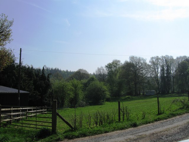
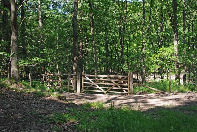
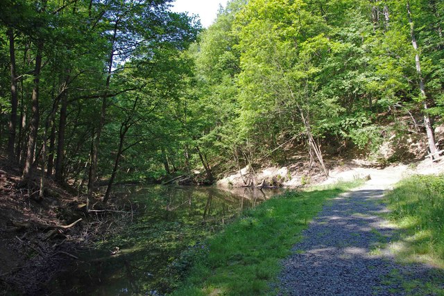
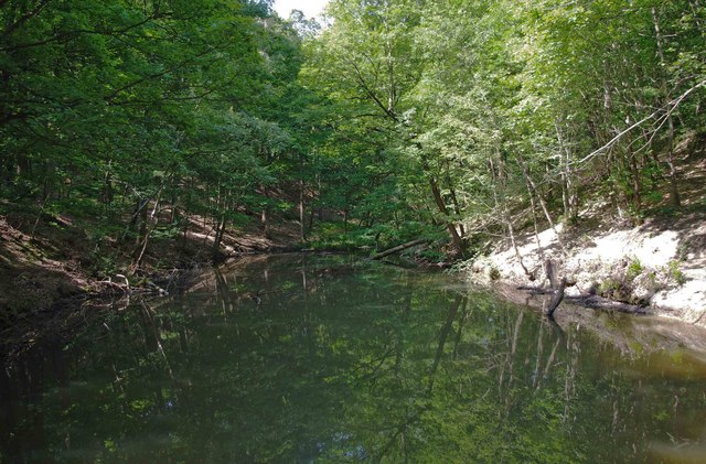
Ruskin Land is a picturesque area located in Worcestershire, England. Situated on the downs and moorland of the region, it is a place of natural beauty and historical significance. The land, covering approximately 100 acres, was originally purchased by the renowned Victorian art critic and social thinker, John Ruskin, in the late 19th century.
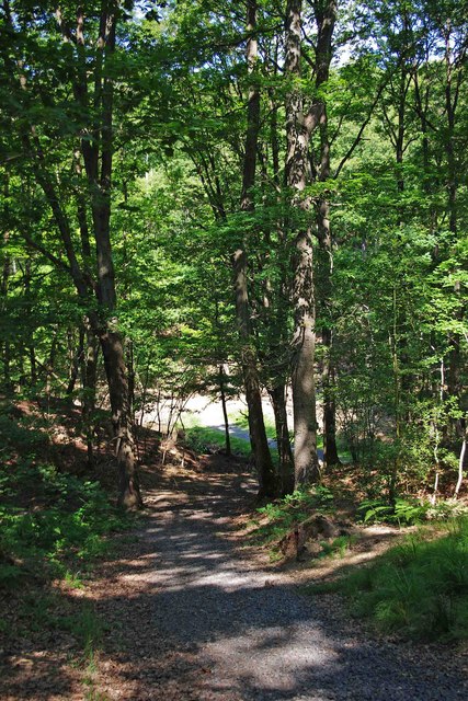
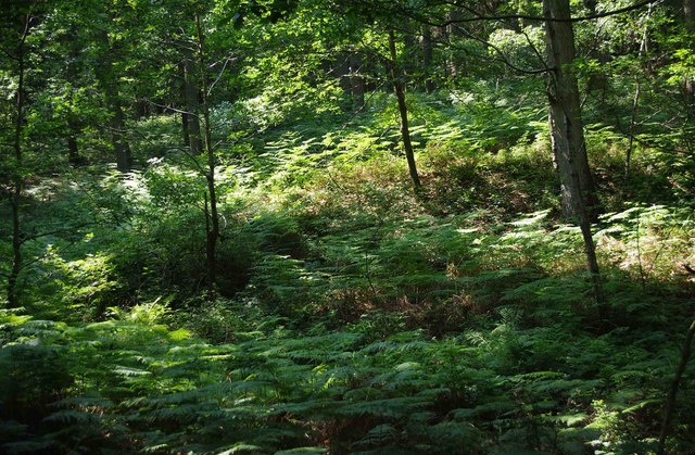
The landscape of Ruskin Land is characterized by rolling hills, open grasslands, and heathland, offering breathtaking views of the surrounding countryside. It is home to a diverse range of plant and animal species, including rare and protected species such as orchids and birds of prey.
The area has a rich history, with evidence of human habitation dating back to ancient times. The remains of Iron Age settlements and Roman fortifications can still be seen in certain areas. In addition, the land holds significance in the context of the Arts and Crafts movement, as Ruskin was a key figure in this cultural and artistic movement.
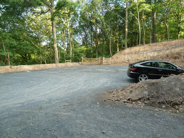
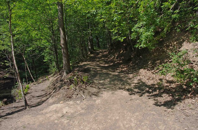
Today, Ruskin Land is managed by the Guild of St George, an organization founded by Ruskin himself. The Guild aims to preserve the natural landscape and promote education and appreciation of art and nature. Visitors to Ruskin Land can explore the various walking trails and enjoy the tranquility of the surroundings. The area also hosts regular events and workshops, where visitors can engage with the arts and learn about the legacy of John Ruskin. Overall, Ruskin Land offers a unique and enriching experience for those seeking a connection with nature and cultural heritage.
If you have any feedback on the listing, please let us know in the comments section below.
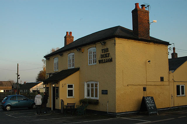
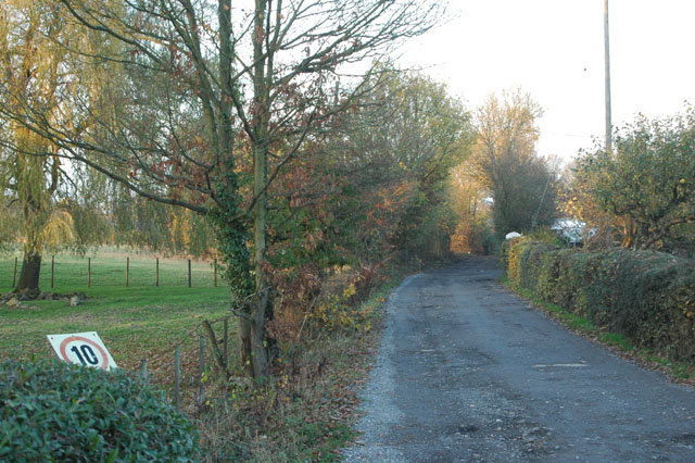
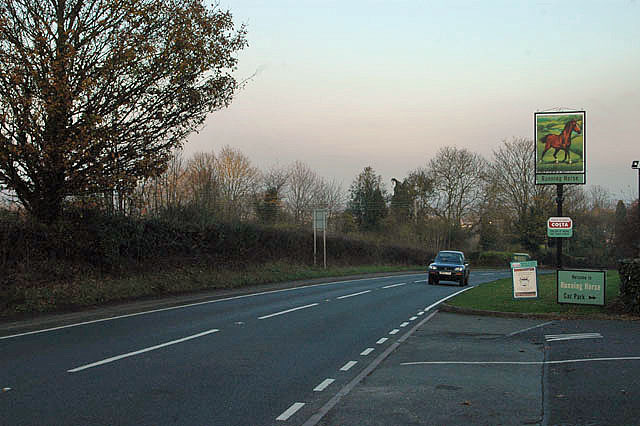
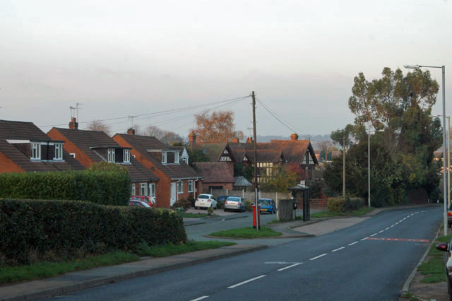
Ruskin Land Images
Images are sourced within 2km of 52.378609/-2.3568437 or Grid Reference SO7575. Thanks to Geograph Open Source API. All images are credited.

Ruskin Land is located at Grid Ref: SO7575 (Lat: 52.378609, Lng: -2.3568437)
Administrative County: Worcestershire
District: Wyre Forest
Police Authority: West Mercia
What 3 Words
///messaging.cabbies.feels. Near Bewdley, Worcestershire
Nearby Locations
Related Wikis

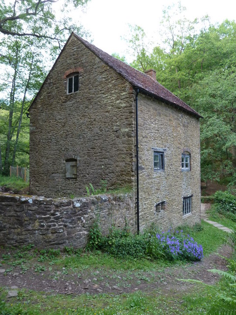
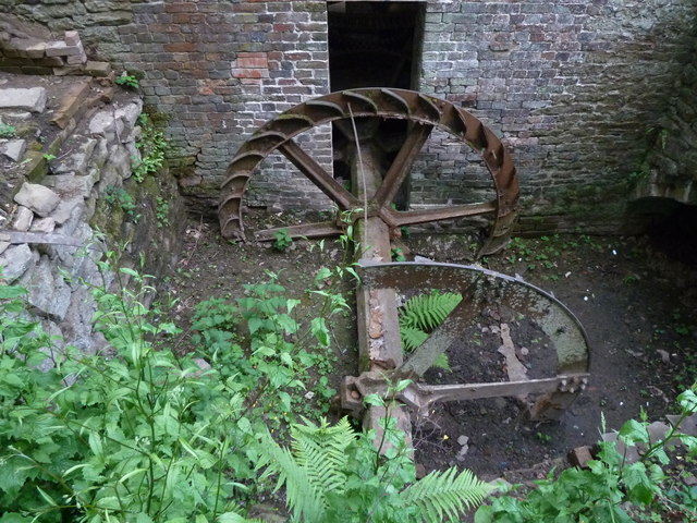
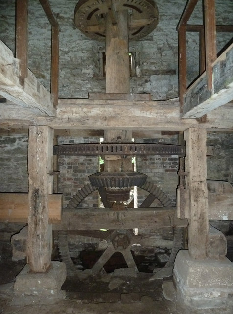
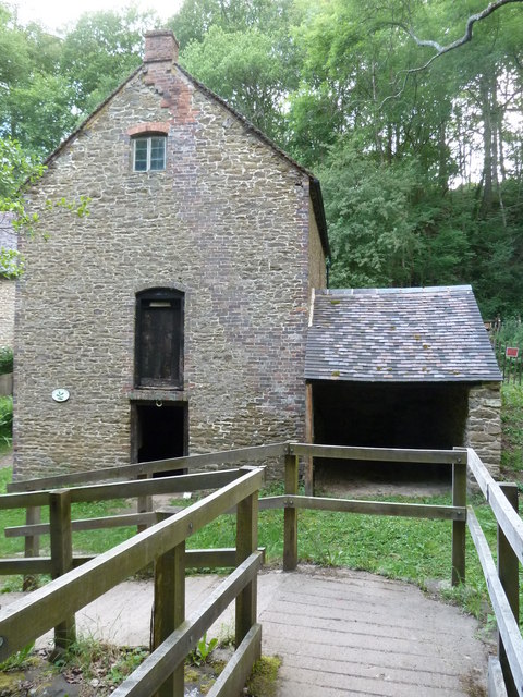
Knowles Mill
Knowles Mill is the remains of an eighteenth-century water-powered grain mill, located in the Wyre Forest in Worcestershire, England. The mill has been...

Wyre Forest
Wyre Forest is a large, semi-natural (partially unmanaged) woodland and forest measuring 26.34 square kilometres (10.17 sq mi) which straddles the borders...

Dowles
Dowles is a hamlet in the civil parish of Upper Arley, in the Wyre Forest district, in the county of Worcestershire, England. It is about 3 miles from...

A456 road
Known as the Hagley Road in Birmingham, the A456 is a main road in England running between Central Birmingham and Woofferton, Shropshire, south of Ludlow...

Dowles Brook
Dowles Brook flows through the heart of the Wyre Forest, into the former civil parish of Dowles and into the River Severn. == History == In 1902, ornithologist...

Button Oak
Button Oak is a small village in the English county of Shropshire, England. It is 3 miles north west of Bewdley. Button Oak is very similar to nearby...

Northwood Halt railway station
Northwood Halt is an unstaffed request stop on the Severn Valley Railway in Worcestershire, situated a little to the north of Bewdley on the outskirts...
Tickenhill Palace
Tickenhill Palace (also known as Tickenhill House or Tickenhall Manor) is a historic building in Bewdley, Worcestershire, England. It is a grade II* listed...
Nearby Amenities
Located within 500m of 52.378609,-2.3568437Have you been to Ruskin Land?
Leave your review of Ruskin Land below (or comments, questions and feedback).