Shelf Held Coppice
Wood, Forest in Worcestershire Wyre Forest
England
Shelf Held Coppice
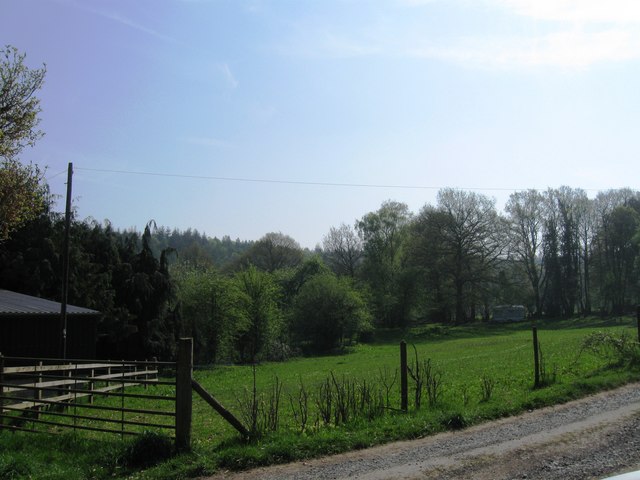
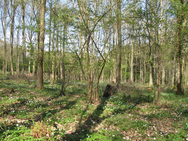
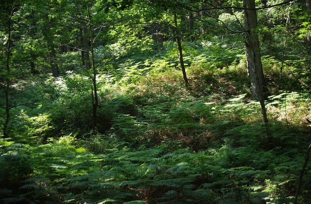
Shelf Held Coppice, located in Worcestershire, is a picturesque woodland that covers an area of approximately [insert size here] hectares. This ancient forest is known for its rich biodiversity and serves as a valuable habitat for various species of flora and fauna.
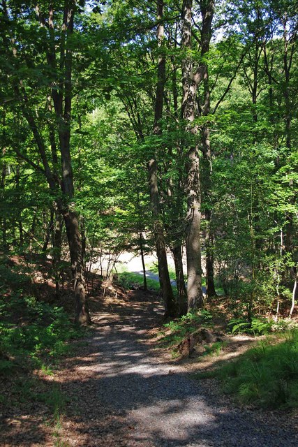
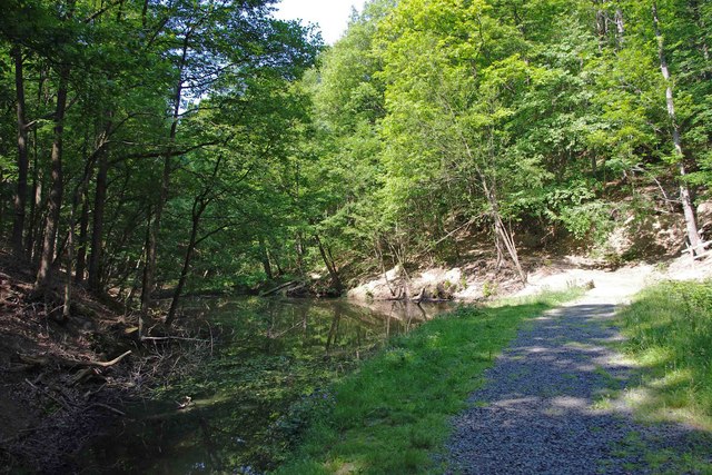
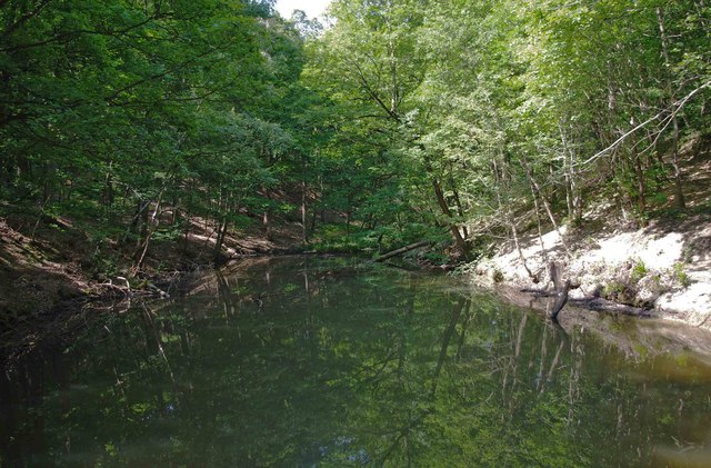
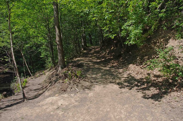
The woodland consists mainly of dense deciduous trees, such as oak, beech, and ash, which create a vibrant and colorful canopy. The forest floor is covered with a diverse array of plant species, including bluebells, primroses, and ferns, providing a stunning display during springtime. The natural beauty of Shelf Held Coppice attracts nature enthusiasts, photographers, and hikers alike.
The woodland is managed sustainably through a traditional technique called coppicing, which involves cutting certain trees close to the ground to encourage new growth. This practice has been carried out in the area for centuries and has resulted in a mosaic of different-aged trees, creating a varied and dynamic landscape.
Shelf Held Coppice also serves as an important wildlife corridor, connecting nearby nature reserves and allowing for the movement of animals across the landscape. It provides a suitable habitat for a range of species, including deer, foxes, badgers, and a variety of bird species, making it a popular spot for birdwatching.
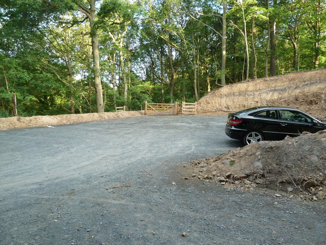
Visitors to Shelf Held Coppice can enjoy several walking trails that meander through the woodland, offering peaceful and tranquil surroundings. The forest also provides opportunities for educational activities, with guided tours and workshops available to learn about the importance of conservation and sustainable woodland management.
Overall, Shelf Held Coppice is a cherished natural gem in Worcestershire, offering a haven for biodiversity, recreational activities, and an opportunity to connect with nature.
If you have any feedback on the listing, please let us know in the comments section below.
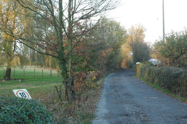
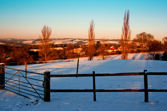
Shelf Held Coppice Images
Images are sourced within 2km of 52.380496/-2.3599294 or Grid Reference SO7575. Thanks to Geograph Open Source API. All images are credited.

Shelf Held Coppice is located at Grid Ref: SO7575 (Lat: 52.380496, Lng: -2.3599294)
Administrative County: Worcestershire
District: Wyre Forest
Police Authority: West Mercia
What 3 Words
///outboard.revamped.limitless. Near Bewdley, Worcestershire
Nearby Locations
Related Wikis

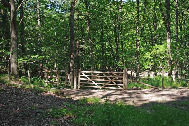
Wyre Forest
Wyre Forest is a large, semi-natural (partially unmanaged) woodland and forest measuring 26.34 square kilometres (10.17 sq mi) which straddles the borders...

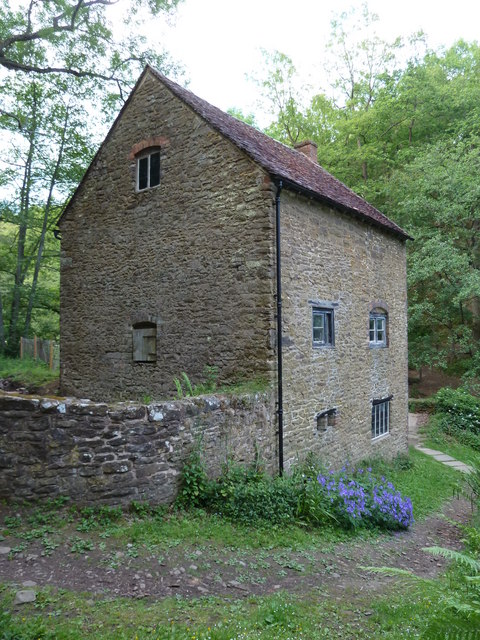
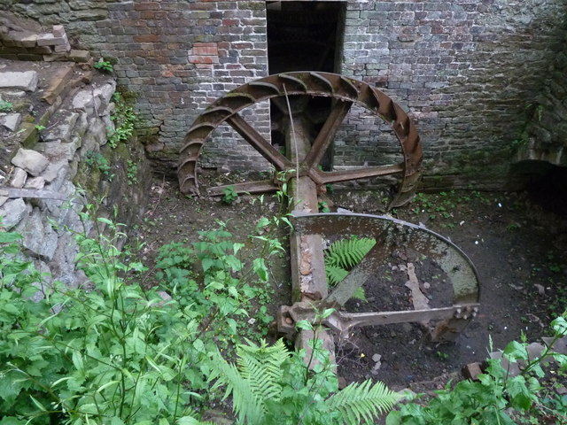
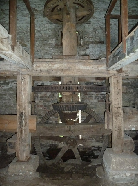
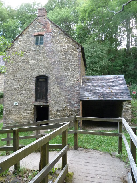
Knowles Mill
Knowles Mill is the remains of an eighteenth-century water-powered grain mill, located in the Wyre Forest in Worcestershire, England. The mill has been...

Dowles
Dowles is a hamlet in the civil parish of Upper Arley, in the Wyre Forest district, in the county of Worcestershire, England. It is about 3 miles from...

Button Oak
Button Oak is a small village in the English county of Shropshire, England. It is 3 miles north west of Bewdley. Button Oak is very similar to nearby...
Nearby Amenities
Located within 500m of 52.380496,-2.3599294Have you been to Shelf Held Coppice?
Leave your review of Shelf Held Coppice below (or comments, questions and feedback).