Inglestone Common

Downs, Moorland in Gloucestershire

England

Inglestone Common

Stone Stile, St Mary's Church Curious cut-outs to let boots pass. There is a wider view showing the lychgate, see <a href="https://www.geograph.org.uk/photo/6493091">ST7686 : Lych gate, St Mary's, Hawkesbury</a>.
Stone Stile, St Mary's Church Credit: Matt Bigwood

Inglestone Common is a picturesque area located in Gloucestershire, England. It is spread across a vast expanse of downs and moorland, offering a diverse landscape that attracts nature enthusiasts and hikers alike. The common is situated near the village of Inglestone, nestled within the Cotswolds Area of Outstanding Natural Beauty.

The common is characterized by rolling hills and expansive open spaces, providing visitors with breathtaking panoramic views of the surrounding countryside. The land is predominantly covered by heather and grasses, creating a vibrant and colorful tapestry during the blooming seasons. This natural habitat is home to a variety of wildlife, including birds, small mammals, and insects, making it a haven for birdwatchers and nature photographers.

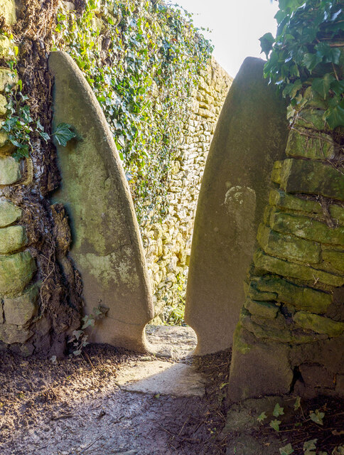
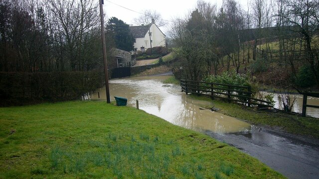
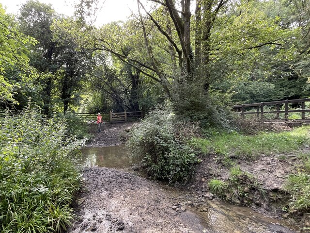
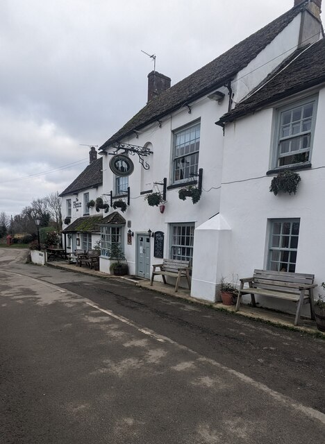
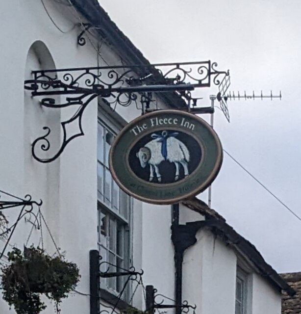
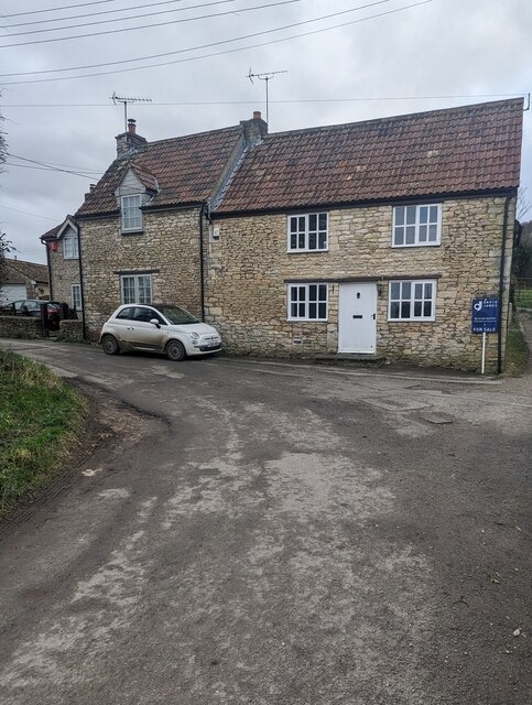
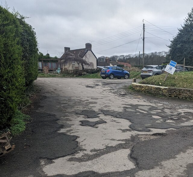
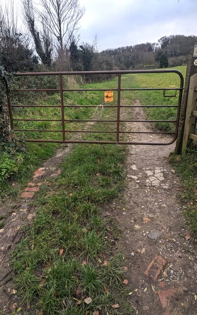
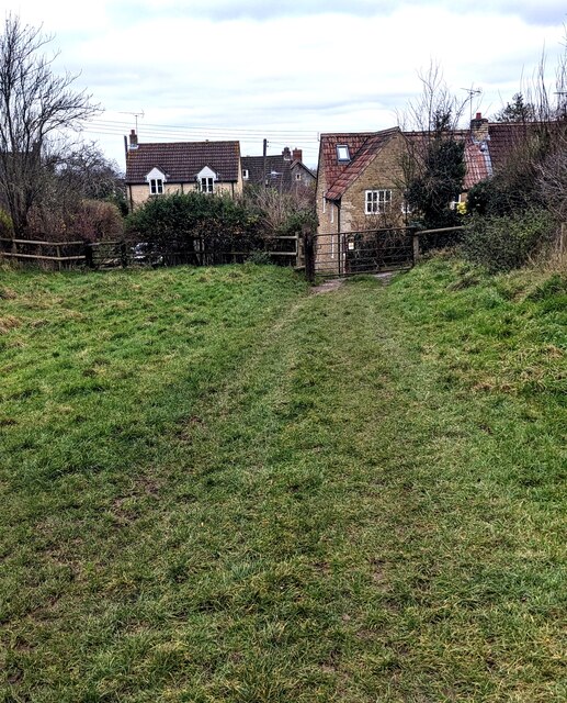
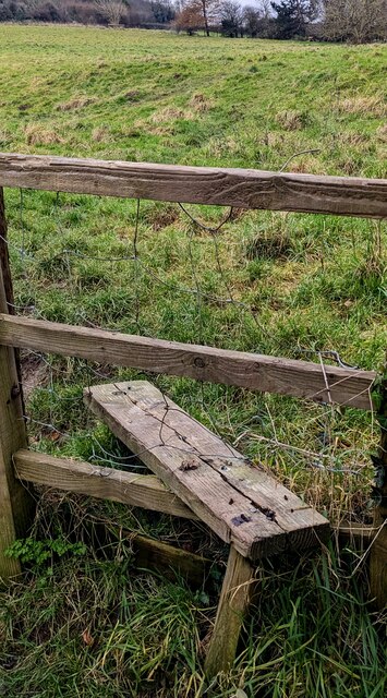
Inglestone Common offers a network of well-maintained footpaths and trails, allowing visitors to explore the area at their own pace. The paths wind through the moorland, offering a chance to experience the tranquility of the countryside and observe the local flora and fauna up close. The common also provides easy access to nearby attractions, including historical sites, quaint villages, and charming country pubs, making it an ideal destination for day trips or longer stays.

Additionally, Inglestone Common is known for its rich cultural heritage. The area has a fascinating history, with archaeological evidence suggesting human activity dating back to the Neolithic period. Visitors can discover ancient burial mounds and remnants of Iron Age settlements, providing a glimpse into the region's past.

Overall, Inglestone Common in Gloucestershire is a captivating destination that showcases the beauty of the English countryside. With its diverse landscape, abundant wildlife, and historical significance, it offers a memorable experience for nature lovers and history enthusiasts alike.

If you have any feedback on the listing, please let us know in the comments section below.

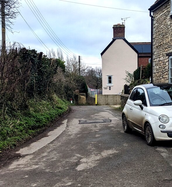
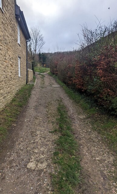
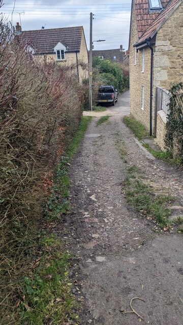
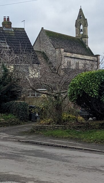
Inglestone Common Images

Images are sourced within 2km of 51.592682/-2.3508638 or Grid Reference ST7588. Thanks to Geograph Open Source API. All images are credited.

Stone Stile, St Mary's Church Curious cut-outs to let boots pass. There is a wider view showing the lychgate, see <a href="https://www.geograph.org.uk/photo/6493091">ST7686 : Lych gate, St Mary's, Hawkesbury</a>.
Stone Stile, St Mary's Church
Curious cut-outs to let boots pass. There is a wider view showing the lychgate, see ST7686 : Lych gate, St Mary's, Hawkesbury.
Flooded road at Lower Chalkley Farm The result of a rapid thaw of snow.
Flooded road at Lower Chalkley Farm
The result of a rapid thaw of snow.
Hawkesbury, St Mary
Hawkesbury, St Mary
Lower Wood Ford This ford is found in Lower Wood Nature Reserve a short walk down from the carpark.
Lower Wood Ford
This ford is found in Lower Wood Nature Reserve a short walk down from the carpark.
The Fleece Inn, Hillesley, Gloucestershire Viewed across Chapel Lane.
The Fleece Inn, Hillesley, Gloucestershire
Viewed across Chapel Lane.
The Fleece Inn name sign, Hillesley, Gloucestershire Hanging from a wall bracket here. <a title="https://www.geograph.org.uk/photo/7671003" href="https://www.geograph.org.uk/photo/7671003">Link</a>
The Fleece Inn name sign, Hillesley, Gloucestershire
Hanging from a wall bracket here. Link
Yellow box, Chapel Lane, Hillesley, Gloucestershire Defibrillator box at an entrance to the Fleece Inn. <a title="https://www.geograph.org.uk/photo/7671003" href="https://www.geograph.org.uk/photo/7671003">Link</a>
Yellow box, Chapel Lane, Hillesley, Gloucestershire
Defibrillator box at an entrance to the Fleece Inn. Link
Chapel Lane houses, Hillesley, Gloucestershire The Fleece Inn <a title="https://www.geograph.org.uk/photo/7671003" href="https://www.geograph.org.uk/photo/7671003">Link</a> is behind the camera.
Chapel Lane houses, Hillesley, Gloucestershire
The Fleece Inn Link is behind the camera.
Fleece Inn Car Park, Hillesley, Gloucestershire Accessed from Chapel Lane a few metres from the inn. <a title="https://www.geograph.org.uk/photo/7671003" href="https://www.geograph.org.uk/photo/7671003">Link</a>
Fleece Inn Car Park, Hillesley, Gloucestershire
Accessed from Chapel Lane a few metres from the inn. Link
Gate across a public footpath, Hillesley, Gloucestershire SE of Chapel Lane. Text on the small yellow notice on the gate includes
POOP SCOOP AREA and CLEAN IT UP.
Gate across a public footpath, Hillesley, Gloucestershire
SE of Chapel Lane. Text on the small yellow notice on the gate includes POOP SCOOP AREA and CLEAN IT UP.
Public footpath through a field,  Hillesley, Gloucestershire SE of this <a title="https://www.geograph.org.uk/photo/7671047" href="https://www.geograph.org.uk/photo/7671047">Link</a> gate.
Public footpath through a field, Hillesley, Gloucestershire
SE of this Link gate.
NW along a public footpath, Hillesley, Gloucestershire Ahead for Chapel Lane and the Fleece Inn. <a title="https://www.geograph.org.uk/photo/7671003" href="https://www.geograph.org.uk/photo/7671003">Link</a>
NW along a public footpath, Hillesley, Gloucestershire
Ahead for Chapel Lane and the Fleece Inn. Link
Stile access to a public footpath, Hillesley, Gloucestershire No need for walkers to use this stile today - the adjacent gate <a title="https://www.geograph.org.uk/photo/7671047" href="https://www.geograph.org.uk/photo/7671047">Link</a> is not locked.
Stile access to a public footpath, Hillesley, Gloucestershire
No need for walkers to use this stile today - the adjacent gate Link is not locked.
Public footpath notices, Hillesley, Gloucestershire Gloucestershire County Council information for dog walkers.
The notices are alongside this <a title="https://www.geograph.org.uk/photo/7671047" href="https://www.geograph.org.uk/photo/7671047">Link</a> gate
Public footpath notices, Hillesley, Gloucestershire
Gloucestershire County Council information for dog walkers. The notices are alongside this Link gate
ENE along Chapel Lane, Hillesley, Gloucestershire Ahead for the former Baptist Chapel <a title="https://www.geograph.org.uk/photo/3662562" href="https://www.geograph.org.uk/photo/3662562">Link</a>
ENE along Chapel Lane, Hillesley, Gloucestershire
Ahead for the former Baptist Chapel Link
From Chapel Lane towards a public footpath, Hillesley, Gloucestershire Looking to the SE from Chapel Lane towards this <a title="https://www.geograph.org.uk/photo/7671047" href="https://www.geograph.org.uk/photo/7671047">Link</a> gate.
From Chapel Lane towards a public footpath, Hillesley, Gloucestershire
Looking to the SE from Chapel Lane towards this Link gate.
Towards Chapel Lane from a public footpath, Hillesley, Gloucestershire This <a title="https://www.geograph.org.uk/photo/7671047" href="https://www.geograph.org.uk/photo/7671047">Link</a> gate is behind the camera.
Towards Chapel Lane from a public footpath, Hillesley, Gloucestershire
This Link gate is behind the camera.
Towards the village church,  Hillesley, Gloucestershire Looking across High Street towards the Church of St Giles.
Towards the village church, Hillesley, Gloucestershire
Looking across High Street towards the Church of St Giles.
Show me another place!

Inglestone Common is located at Grid Ref: ST7588 (Lat: 51.592682, Lng: -2.3508638)

Unitary Authority: South Gloucestershire

Police Authority: Avon and Somerset

What 3 Words

///grips.branded.neutron. Near Wickwar, Gloucestershire

Related Wikis

Yarley Meadows

Yarley Meadows (grid reference ST757888) is a 12.2-hectare (30-acre) biological Site of Special Scientific Interest in Gloucestershire, England, notified...

Hawkesbury Meadow

Hawkesbury Meadow (grid reference ST754874) is a 3.3 hectare biological Site of Special Scientific Interest (SSSI) in South Gloucestershire, notified in...

Lord Robert Somerset

General Lord Robert Edward Henry Somerset (19 December 1776 – 1 September 1842) was a British soldier who fought during the Peninsular War and the War...

Hawkesbury, Gloucestershire

Hawkesbury is a hamlet and civil parish in the area of the South Gloucestershire unitary authority in England. The hamlet, consisting of a few cottages...
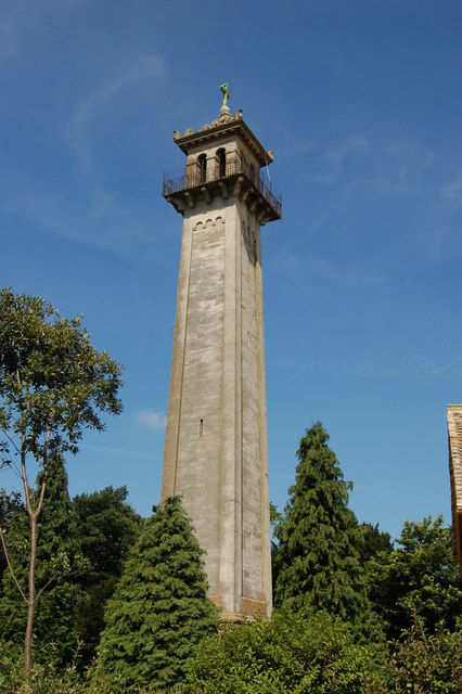
Somerset Monument

The Somerset Monument in Hawkesbury Upton, Gloucestershire, England was built in 1846 to commemorate Lord Robert Edward Somerset. It is a Grade II* listed...

Hawkesbury Quarry

Hawkesbury Quarry (grid reference ST771873) is a 0.25-hectare (0.62-acre) geological Site of Special Scientific Interest near the village of Hawkesbury...

Lower Woods

Lower Woods (grid reference ST743876) is a 280.1-hectare (692-acre) biological and geological Site of Special Scientific Interest near the village of Wickwar...

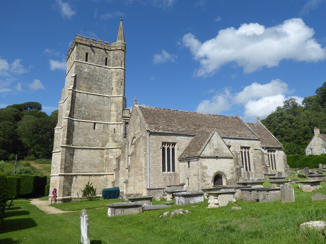
Church of St Mary, Hawkesbury

The Church of St Mary in Hawkesbury, South Gloucestershire, England was built in the 12th century. It is a Grade I listed building. == History == The church...

Nearby Amenities

Located within 500m of 51.592682,-2.3508638
Bus Stop
Inglestone Common
Naptan AtcoCode: 0170SGA19729
Naptan Bearing: N
Naptan CommonName: Inglestone Common
Naptan NaptanCode: sglpjaw
Naptan Street: Oxleaze Farm Road
Naptan Verified: no
Source: naptan_import
Lat/Long: 51.5918613/-2.3469312
Bus Stop
Inglestone Common
Naptan AtcoCode: 0170SGA19730
Naptan Bearing: S
Naptan CommonName: Inglestone Common
Naptan NaptanCode: sglpjat
Naptan Street: Oxleaze Farm Road
Naptan Verified: no
Source: naptan_import
Lat/Long: 51.5917359/-2.346757
Power: pole
Lat/Long: 51.5938902/-2.3475796
Power: pole
Lat/Long: 51.5945955/-2.3475133
Power: pole
Lat/Long: 51.5950242/-2.3465074
Power: pole
Lat/Long: 51.5953027/-2.3474517
Power: pole
Lat/Long: 51.5956981/-2.3487249
Power: pole
Lat/Long: 51.5963742/-2.3511882
Power: pole
Lat/Long: 51.596051/-2.3500468
Power: pole
Lat/Long: 51.5967576/-2.3525662
Power: pole
Lat/Long: 51.5947092/-2.3454719
Power: pole
Lat/Long: 51.5945083/-2.3447602
Power: pole
Lat/Long: 51.5901685/-2.3464547
Power: pole
Lat/Long: 51.5896957/-2.345709
Direction: 160
Generator Method: photovoltaic
Generator Output Electricity: yes
Generator Solar Modules: 16
Generator Source: solar
Generator Type: solar_photovoltaic_panel
Location: roof
Power: generator
Lat/Long: 51.5940989/-2.3481579
Direction: 155
Generator Method: photovoltaic
Generator Output Electricity: yes
Generator Solar Modules: 13
Generator Source: solar
Generator Type: solar_photovoltaic_panel
Location: roof
Power: generator
Lat/Long: 51.5946795/-2.3492866
Direction: 110
Generator Method: photovoltaic
Generator Output Electricity: yes
Generator Solar Modules: 16
Generator Source: solar
Generator Type: solar_photovoltaic_panel
Location: roof
Power: generator
Lat/Long: 51.5949769/-2.3500062
The data included in this document is from www.openstreetmap.org. The data is made available under ODbL.

Have you been to Inglestone Common?

Leave your review of Inglestone Common below (or comments, questions and feedback).