Low Langshaw Moss

Downs, Moorland in Yorkshire South Lakeland

England

Low Langshaw Moss

Arten Gill Viaduct, 1968 On the Settle and Carlisle Line, a grade II listed structure. The train crossing, of nineteen hopper wagons and a brake van, appears to be hauled by a class 40 locomotive.
Arten Gill Viaduct, 1968 Credit: Robin Webster

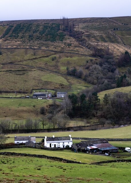
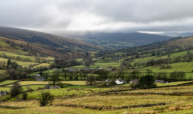
Low Langshaw Moss is a picturesque expanse of moorland located in Yorkshire, England. Situated amidst the stunning and rugged landscape of the Yorkshire Downs, this natural treasure spans over a large area, offering visitors a unique and tranquil experience.

The moss itself is a wetland area characterized by its peat bogs, heathland, and diverse flora and fauna. It is home to a variety of rare and protected species, making it a site of significant ecological importance. The moss acts as a habitat for numerous bird species, including lapwings, curlews, and golden plovers, providing a sanctuary for their nesting and breeding activities.

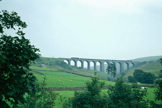
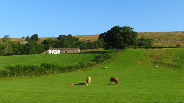
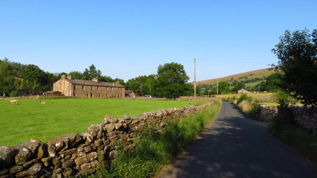
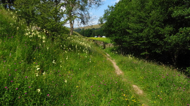
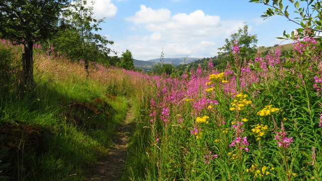
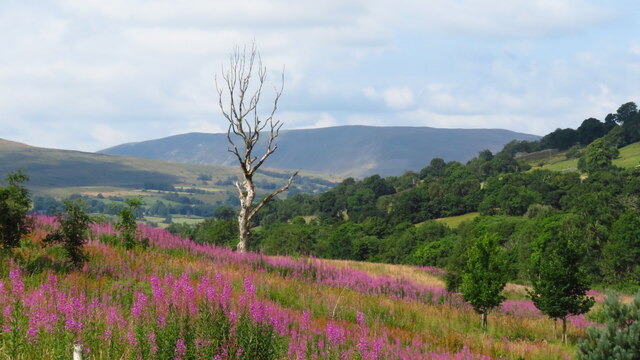
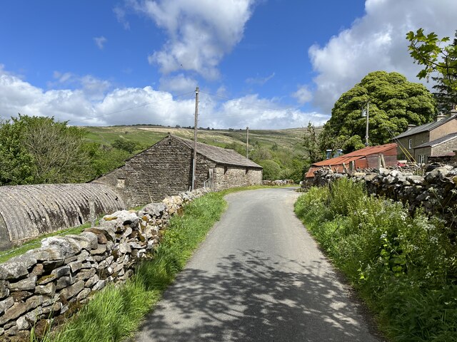
The landscape of Low Langshaw Moss is characterized by its rolling hills, scattered with heather and gorse, creating a beautiful contrast of colors throughout the year. The terrain is predominantly open and expansive, with few trees, allowing visitors to fully immerse themselves in the expansive moorland vistas.

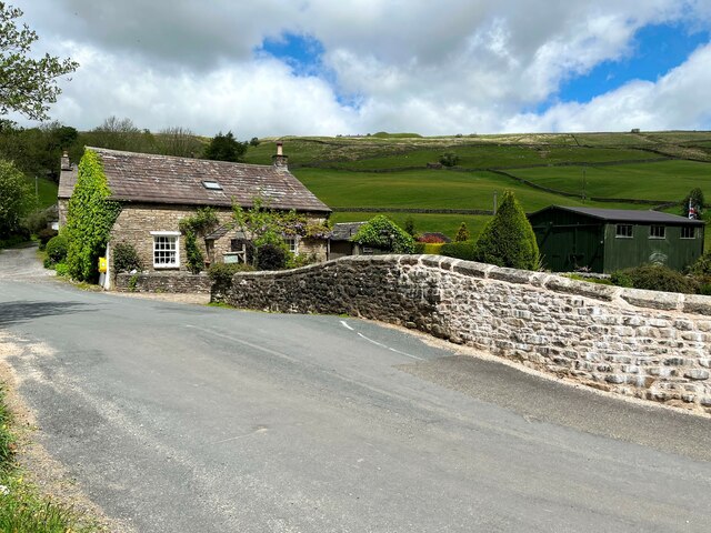
The moss offers visitors a range of recreational activities, including walking, birdwatching, and photography. A network of footpaths and trails crisscross the area, enabling visitors to explore and appreciate the unique flora and fauna. The vibrant birdlife provides ample opportunities for birdwatchers to spot and observe various species in their natural habitat.

Low Langshaw Moss is a haven for nature enthusiasts and those seeking solace amidst the breathtaking beauty of the Yorkshire Downs. Its untouched and unspoiled landscape offers a chance to connect with nature and experience the tranquility that only moorlands can provide.

If you have any feedback on the listing, please let us know in the comments section below.

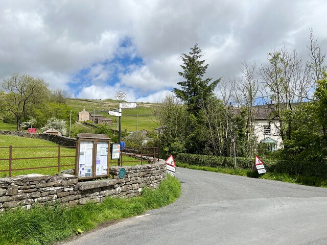
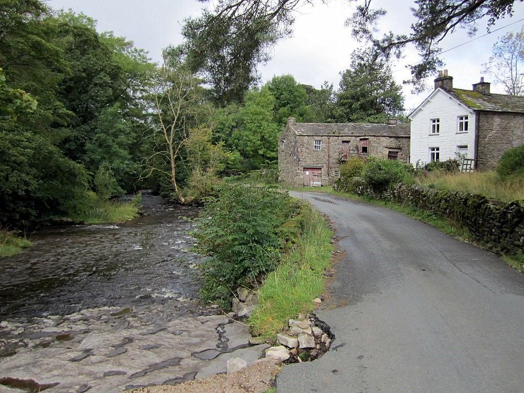
Low Langshaw Moss Images

Images are sourced within 2km of 54.266774/-2.373886 or Grid Reference SD7585. Thanks to Geograph Open Source API. All images are credited.

Arten Gill Viaduct, 1968 On the Settle and Carlisle Line, a grade II listed structure. The train crossing, of nineteen hopper wagons and a brake van, appears to be hauled by a class 40 locomotive.
Arten Gill Viaduct, 1968
On the Settle and Carlisle Line, a grade II listed structure. The train crossing, of nineteen hopper wagons and a brake van, appears to be hauled by a class 40 locomotive.
Allen Haw, Dentdale
Allen Haw, Dentdale
Cottages at Cowgill, Dentdale
Fingerpost - Cowgill
Dent Station
Dent Station
Arten Gill Viaduct
Arten Gill Viaduct
Track leading down to Stone House, Dentdale
The Sportsman Inn, Stone House, Dentdale
The Dales Way, east of Ewegales Bridge, Cowgill
On the Dales Way between Rivling & Little Town, Dentdale
On the Dales Way, west of Little Town, Dentdale
Station House Former stationmaster's house at Dent Station.
Station House
Former stationmaster's house at Dent Station.
How Gill View of How Gill in Dentdale, seen from Lea Yeat Brow.  In the foreground is Hill Farm and Hill View and in the middle distance is Hobsons Cottage.
How Gill
View of How Gill in Dentdale, seen from Lea Yeat Brow. In the foreground is Hill Farm and Hill View and in the middle distance is Hobsons Cottage.
Dentdale View of Dentdale seen from Lea Yeat Brow.
Dentdale
View of Dentdale seen from Lea Yeat Brow.
Lea Yeat The minor road from Dent to Newby Head crosses the River Dee at Lea Yeat.
Repairs have been undertaken to the bridge parapet, on the face of which there is an Ordnance Survey cut benchmark (photograph <a href="https://www.geograph.org.uk/photo/7186508">SD7686 : Benchmark, Lea Yeat Bridge</a>).
Lea Yeat
The minor road from Dent to Newby Head crosses the River Dee at Lea Yeat. Repairs have been undertaken to the bridge parapet, on the face of which there is an Ordnance Survey cut benchmark (photograph SD7686 : Benchmark, Lea Yeat Bridge).
Benchmark, Lea Yeat Bridge Detail of an Ordnance Survey cut benchmark on the east parapet of Lea Yeat Bridge. The benchmark marks a height of 223.3514m above Ordnance Datum Newlyn last verified in 1953 (location photograph <a href="https://www.geograph.org.uk/photo/7186503">SD7686 : Lea Yeat</a>).
Benchmark, Lea Yeat Bridge
Detail of an Ordnance Survey cut benchmark on the east parapet of Lea Yeat Bridge. The benchmark marks a height of 223.3514m above Ordnance Datum Newlyn last verified in 1953 (location photograph SD7686 : Lea Yeat).
Ewegales The minor road is the route of the Dales Way long distance path.
Ewegales
The minor road is the route of the Dales Way long distance path.
Lea Yeat The signpost finial indicates Cowgill, the scattered community at the head of Dentdale that includes Lea Yeat.  The finial also states Yorks.W.R. indicating that the signpost, although now in Cumbria was erected by the West Riding of Yorkshire, a county that ceased to exist in 1974.  The numbers 761869 are the Ordnance Survey grid reference for the signpost’s location.
Lea Yeat
The signpost finial indicates Cowgill, the scattered community at the head of Dentdale that includes Lea Yeat. The finial also states Yorks.W.R. indicating that the signpost, although now in Cumbria was erected by the West Riding of Yorkshire, a county that ceased to exist in 1974. The numbers 761869 are the Ordnance Survey grid reference for the signpost’s location.
Show me another place!

Low Langshaw Moss is located at Grid Ref: SD7585 (Lat: 54.266774, Lng: -2.373886)

Division: West Riding

Administrative County: Cumbria

District: South Lakeland

Police Authority: Cumbria

What 3 Words

///schematic.disco.workbook. Near Sedbergh, Cumbria

Related Wikis

Cowgill, Cumbria

Cowgill is a village in Westmorland and Furness, Cumbria, England. It is within the historic boundaries of the West Riding of Yorkshire, and is located...

St John the Evangelist's Church, Cowgill

St John the Evangelist's Church is the Church of England parish church of the village of Cowgill, Cumbria, England. It is in the deanery of Kendal, the...

Stone House, Cumbria

Stone House is a locality at Dent Head on the River Dee, in the county of Cumbria, England, to the south-east of Cowgill and to the north-west of Newby...

Dent railway station

Dent is a railway station on the Settle and Carlisle Line, which runs between Carlisle and Leeds via Settle. The station, situated 58 miles 29 chains...

Have you been to Low Langshaw Moss?

Leave your review of Low Langshaw Moss below (or comments, questions and feedback).