Thorough Mea Bottom
Valley in Yorkshire South Lakeland
England
Thorough Mea Bottom

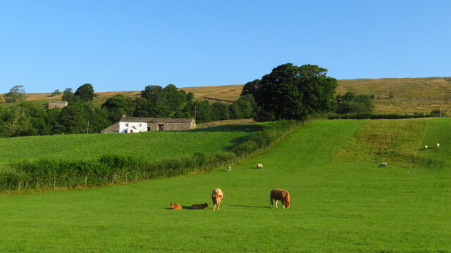
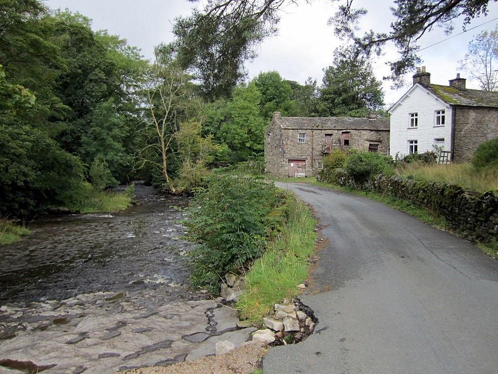
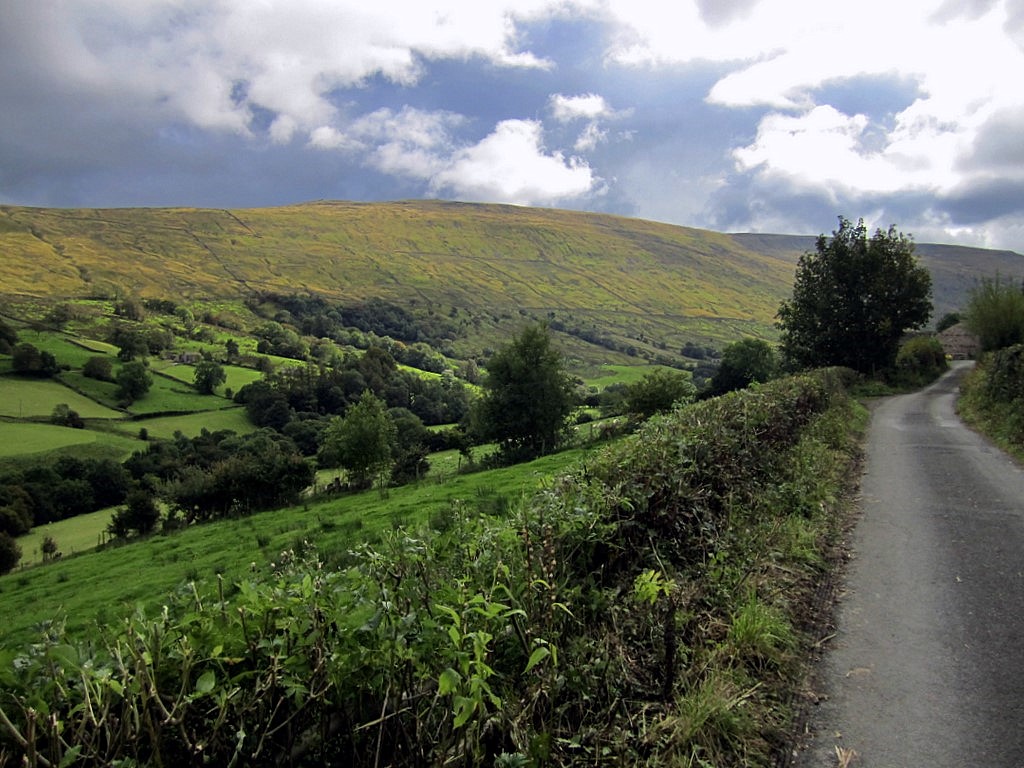
Thorough Mea Bottom is a picturesque valley located in Yorkshire, England. Nestled amidst the rolling hills of the Yorkshire Dales, this idyllic valley is renowned for its natural beauty and tranquil atmosphere. The name "Thorough Mea" is derived from Old English, meaning "through the valley," which perfectly captures the essence of this stunning landscape.
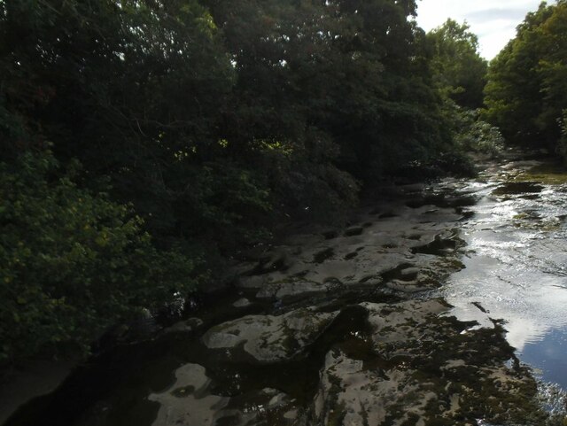
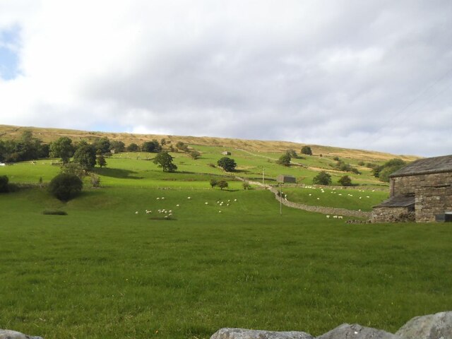
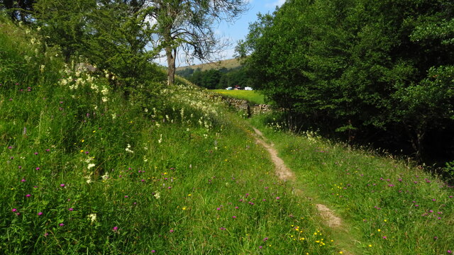
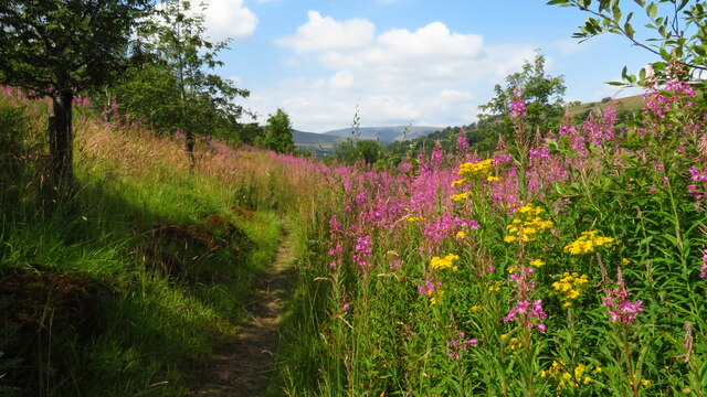
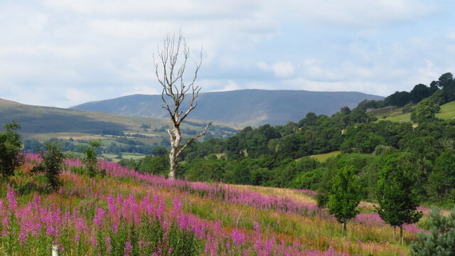
The valley is characterized by lush green meadows, dotted with vibrant wildflowers during the summer months. The River Mea gracefully winds its way through the bottom, adding to the charm of the region. The crystal-clear waters of the river provide a habitat for a diverse range of wildlife, including otters, kingfishers, and various species of fish.
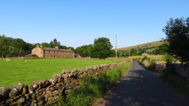
Thorough Mea Bottom is a haven for hikers and nature enthusiasts, who are drawn to the numerous walking trails that crisscross the valley. These trails offer breathtaking views of the surrounding countryside, with the opportunity to spot native bird species and other wildlife along the way.
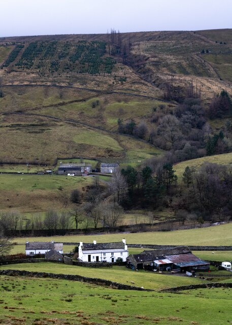
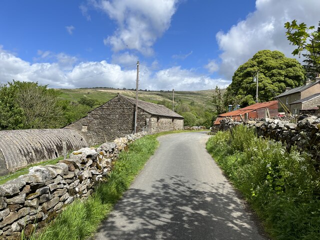
In addition to its natural beauty, Thorough Mea Bottom boasts a rich cultural heritage. The valley is dotted with traditional stone-built cottages, some of which date back several hundred years. These charming dwellings provide a glimpse into the region's past and add to the overall charm of the area.
Overall, Thorough Mea Bottom is a place of tranquility and natural splendor. Its unspoiled landscapes, diverse wildlife, and rich history make it a must-visit destination for those seeking a peaceful retreat in the heart of Yorkshire.
If you have any feedback on the listing, please let us know in the comments section below.
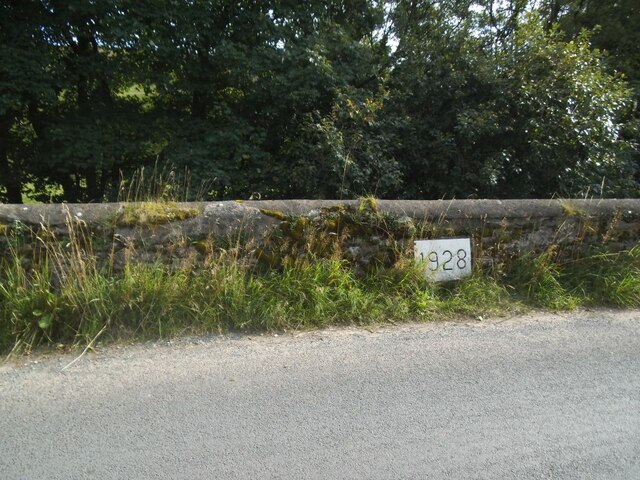
Thorough Mea Bottom Images
Images are sourced within 2km of 54.260355/-2.3829311 or Grid Reference SD7585. Thanks to Geograph Open Source API. All images are credited.


Thorough Mea Bottom is located at Grid Ref: SD7585 (Lat: 54.260355, Lng: -2.3829311)
Division: West Riding
Administrative County: Cumbria
District: South Lakeland
Police Authority: Cumbria
What 3 Words
///slate.loom.requiring. Near Sedbergh, Cumbria
Nearby Locations
Related Wikis

St John the Evangelist's Church, Cowgill
St John the Evangelist's Church is the Church of England parish church of the village of Cowgill, Cumbria, England. It is in the deanery of Kendal, the...

Cowgill, Cumbria
Cowgill is a village in Westmorland and Furness, Cumbria, England. It is within the historic boundaries of the West Riding of Yorkshire, and is located...
Stone House, Cumbria
Stone House is a locality at Dent Head on the River Dee, in the county of Cumbria, England, to the south-east of Cowgill and to the north-west of Newby...

Arten Gill Viaduct
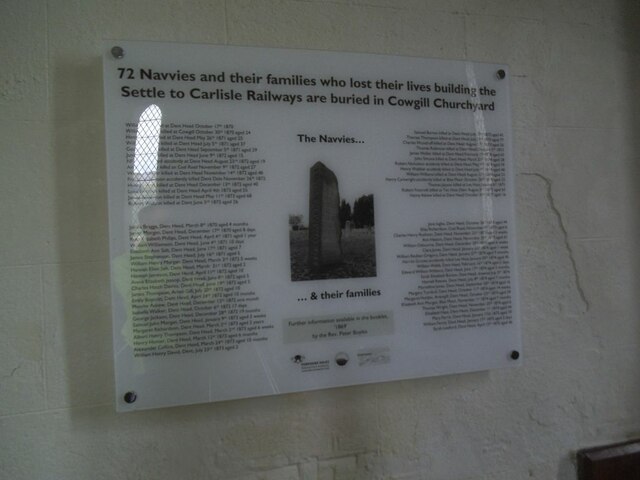
Arten Gill Viaduct is an eleven-arch railway bridge in Dentdale, Cumbria, England. The viaduct carries the Settle to Carlisle railway line over Artengill...

Dent Head Viaduct
Dent Head Viaduct is a railway viaduct on the Settle–Carlisle line in Dentdale, Cumbria, England. It is the second major viaduct on the line northwards...
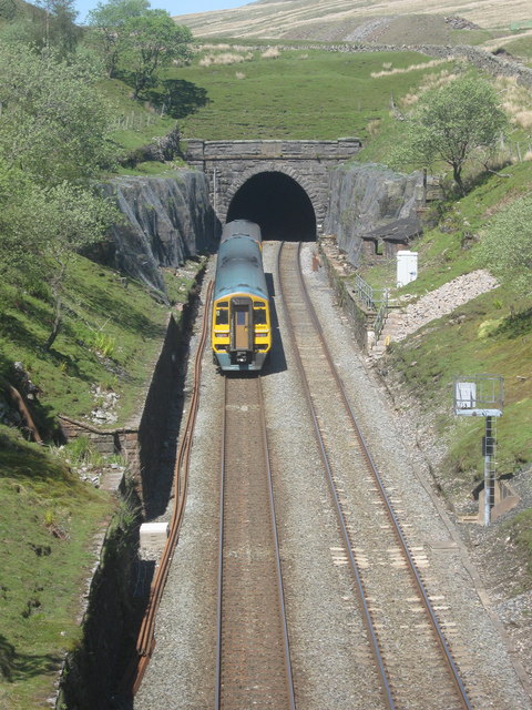
Blea Moor Tunnel
Blea Moor Tunnel is a 2,629 yards (1.494 mi)(2,404 m) railway tunnel located between Ribblehead Viaduct and Dent railway station in England. It is the...

Dent railway station
Dent is a railway station on the Settle and Carlisle Line, which runs between Carlisle and Leeds via Settle. The station, situated 58 miles 29 chains...
Deepdale, Cumbria
Deepdale is a side valley of Dentdale in the Yorkshire Dales National Park in Cumbria, England. It lies north west of the summit of Whernside. The dale...
Have you been to Thorough Mea Bottom?
Leave your review of Thorough Mea Bottom below (or comments, questions and feedback).