Read Park
Downs, Moorland in Lancashire Ribble Valley
England
Read Park
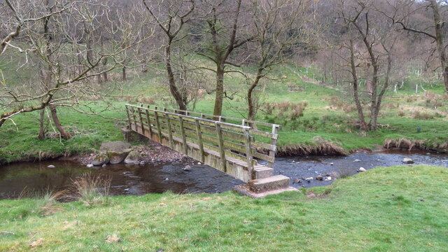
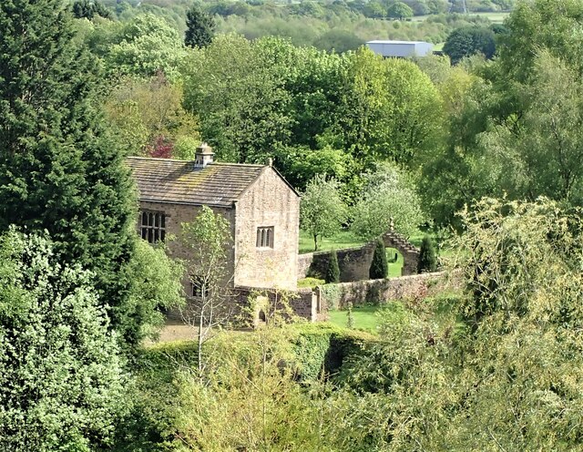
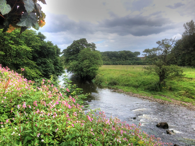
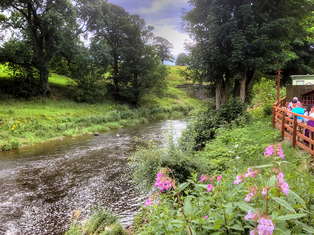
Read Park is a picturesque area located in Lancashire, England. Situated on the outskirts of the small village of Read, it offers a stunning blend of downs and moorland landscapes. Spanning an area of approximately 500 acres, Read Park is a popular destination for nature enthusiasts and outdoor lovers.
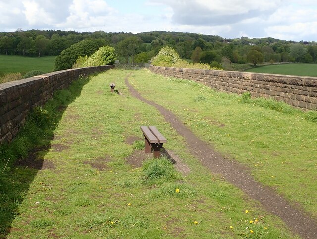
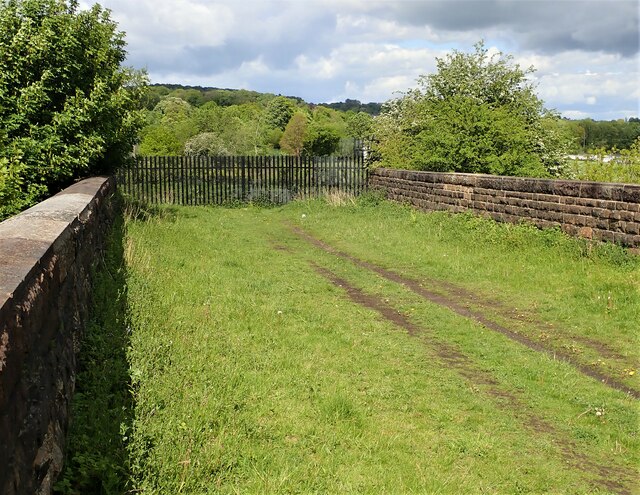
The park boasts a diverse range of flora and fauna, with its rolling downs covered in lush green grass and dotted with vibrant wildflowers during the summer months. Visitors can enjoy leisurely walks along the well-maintained trails that meander through the park, offering breathtaking views of the surrounding countryside.
The moorland section of Read Park provides a contrasting landscape, with its rugged terrain and heather-covered hills. This area is home to various species of birds, including the elusive merlin and the endangered twite. Nature enthusiasts can birdwatch from designated observation points or simply soak in the tranquility of the moorland atmosphere.
For those seeking a bit of adventure, Read Park offers opportunities for horseback riding and mountain biking. The park features dedicated trails for both activities, ensuring a safe and enjoyable experience for enthusiasts of all skill levels.
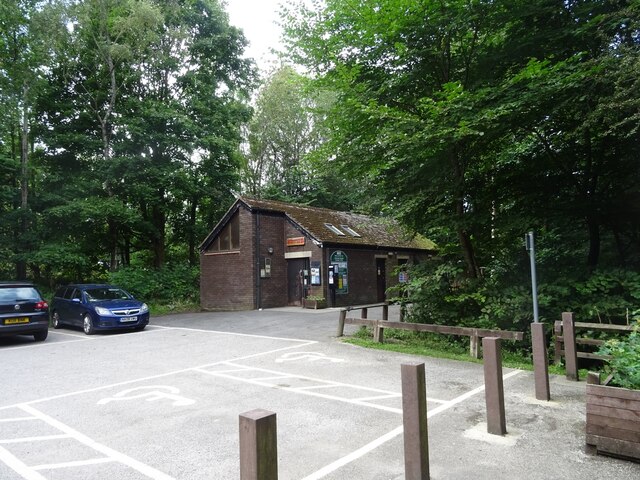
In addition to its natural beauty, Read Park also provides amenities for visitors. There is a visitor center that offers information on the park's history, wildlife, and conservation efforts. Picnic areas are scattered throughout the park, allowing visitors to relax and enjoy a packed lunch amidst the stunning surroundings.
Overall, Read Park offers a delightful escape into nature, where visitors can immerse themselves in the serene beauty of the Lancashire countryside.
If you have any feedback on the listing, please let us know in the comments section below.
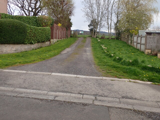
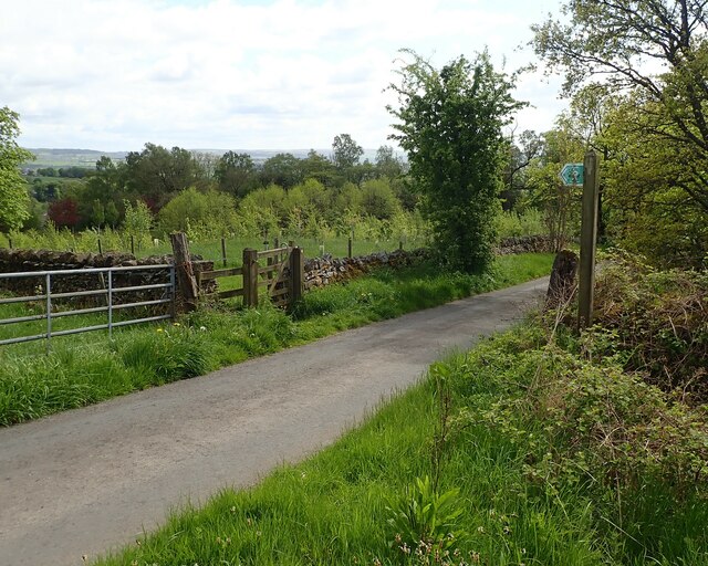
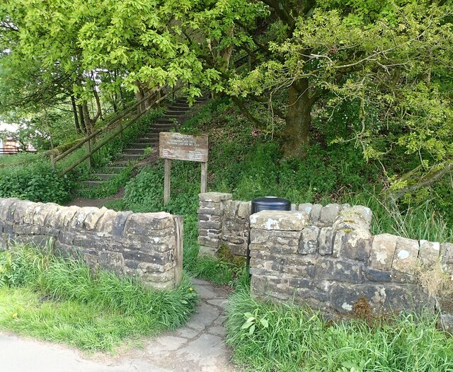
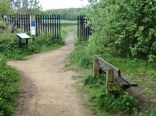
Read Park Images
Images are sourced within 2km of 53.808992/-2.3724248 or Grid Reference SD7534. Thanks to Geograph Open Source API. All images are credited.
Read Park is located at Grid Ref: SD7534 (Lat: 53.808992, Lng: -2.3724248)
Administrative County: Lancashire
District: Ribble Valley
Police Authority: Lancashire
What 3 Words
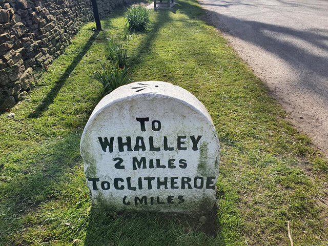
///motive.gentle.tinted. Near Whalley, Lancashire
Nearby Locations
Related Wikis

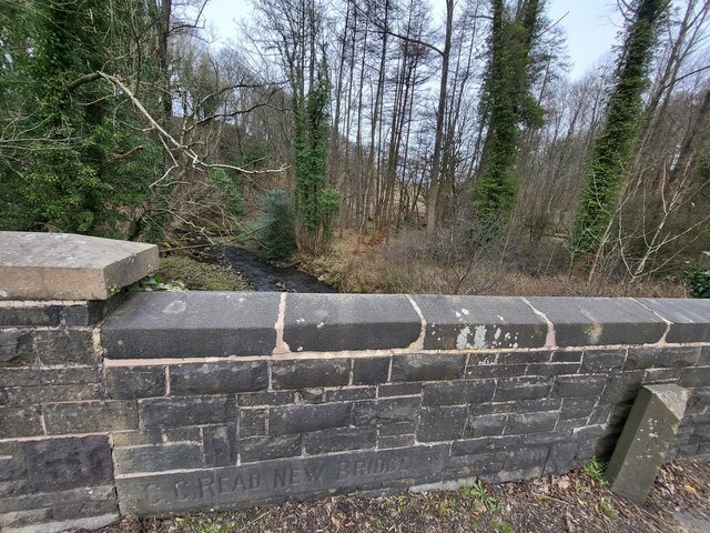
Read Hall and Park
Read Hall and Park is a manor house with ornamental grounds of about 450 acres (180 ha) in Whalley Road, Read, a few miles west of Padiham, Lancashire...

Martholme
Martholme is a Grade I listed medieval manor house standing on the banks of the River Calder 1+1⁄4 miles (2 km) from Great Harwood, Lancashire, England...

Martholme Viaduct
Martholme Viaduct is a 19th-century railway viaduct in the English county of Lancashire. It lies between the town of Great Harwood and the village of Read...

Sabden Brook
Sabden Brook is a small river running through Lancashire in England. It is 7.59 miles (12.21 km) long and has a catchment area of 6.84 square miles (17...

Portfield Hillfort
Portfield also known as Planes Wood Camp is a late Bronze Age or Iron Age hillfort situated close to the town of Whalley in Lancashire, Northern England...

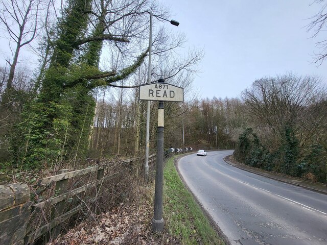
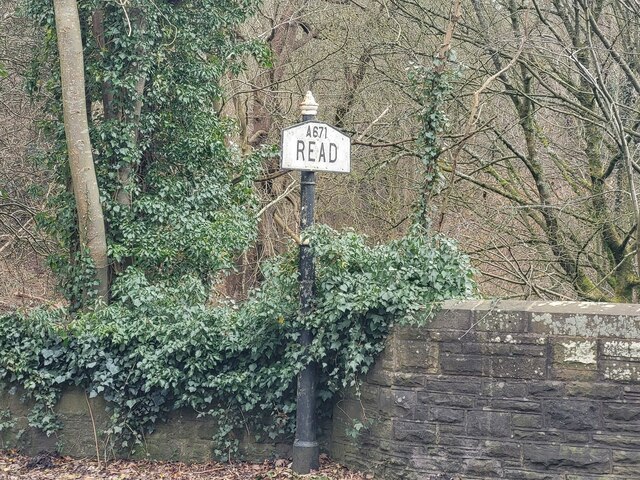
Read, Lancashire
Read is a village in Lancashire 5 miles west northwest of Burnley and 2 miles east of Whalley. It is on the A671 which is the main road between Burnley...

Hyndburn Brook
Hyndburn Brook is a minor river in eastern Lancashire. It is approximately 4.5 miles (7.3 km) long, and has the catchment area (not including the River...

Simonstone, Lancashire
Simonstone is a small village and civil parish in the Ribble Valley district of Lancashire, England. The population of the civil parish taken at the 2011...
Nearby Amenities
Located within 500m of 53.808992,-2.3724248Have you been to Read Park?
Leave your review of Read Park below (or comments, questions and feedback).