Coppy Plantation
Wood, Forest in Lancashire Ribble Valley
England
Coppy Plantation
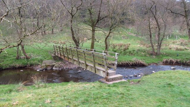
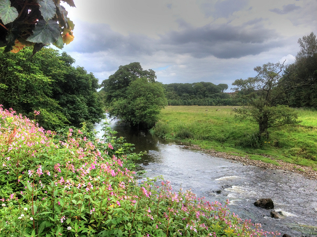
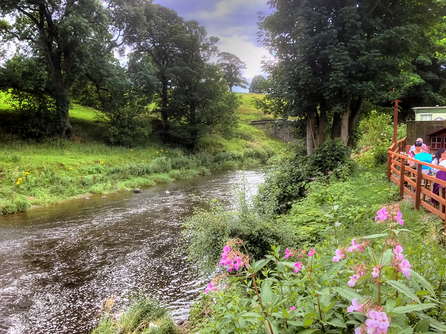
Coppy Plantation is a picturesque woodland located in the county of Lancashire, England. Situated near the town of Wood, it covers an expansive area and is widely regarded as one of the most stunning forests in the region. The plantation is characterized by a diverse range of tree species, creating a rich and vibrant ecosystem.
The woodland is home to a variety of native and exotic trees including oak, beech, birch, and pine. These majestic trees provide a lush canopy, offering shade and shelter for a multitude of plant and animal species. The forest floor is adorned with an array of wildflowers, creating a colorful tapestry during the spring and summer months.
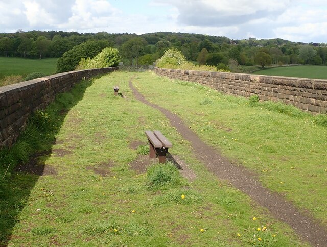
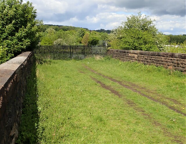
Coppy Plantation is a haven for nature enthusiasts and outdoor enthusiasts alike. It offers numerous walking and hiking trails, allowing visitors to explore the enchanting woodland at their own pace. The trails are well-maintained and provide stunning views of the surrounding countryside.
The plantation is also home to a diverse range of wildlife. Birdwatchers can spot various species including woodpeckers, owls, and finches. Squirrels, rabbits, and deer are commonly sighted, adding to the charm and tranquility of the woodland.
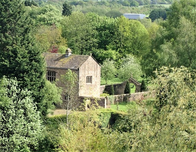
In addition to its natural beauty, Coppy Plantation also holds historical significance. It is believed that the woodland has been in existence for centuries, serving as a source of timber and fuel for local communities in the past.
Overall, Coppy Plantation in Lancashire is a captivating destination for nature lovers, offering a serene and immersive experience in a stunning woodland setting.
If you have any feedback on the listing, please let us know in the comments section below.
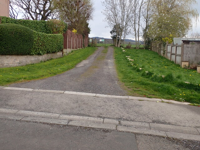
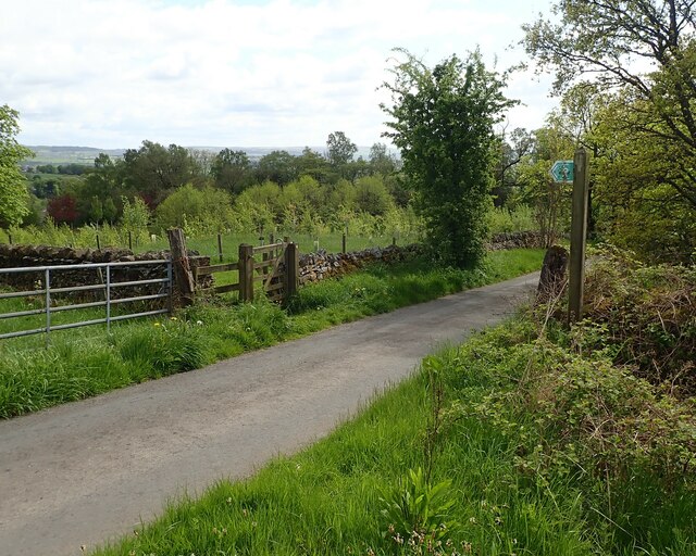
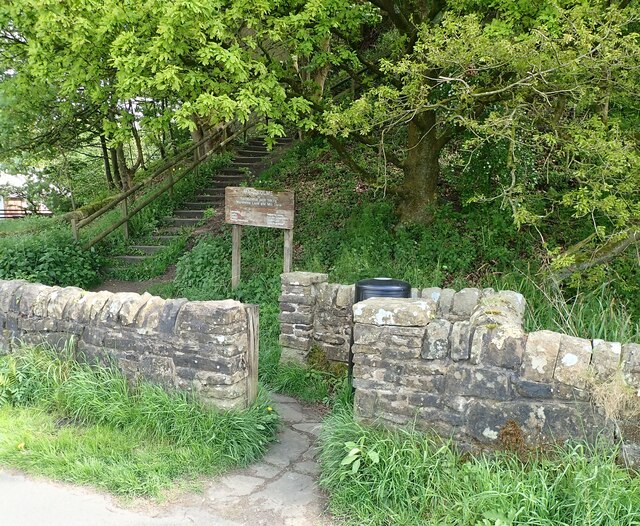
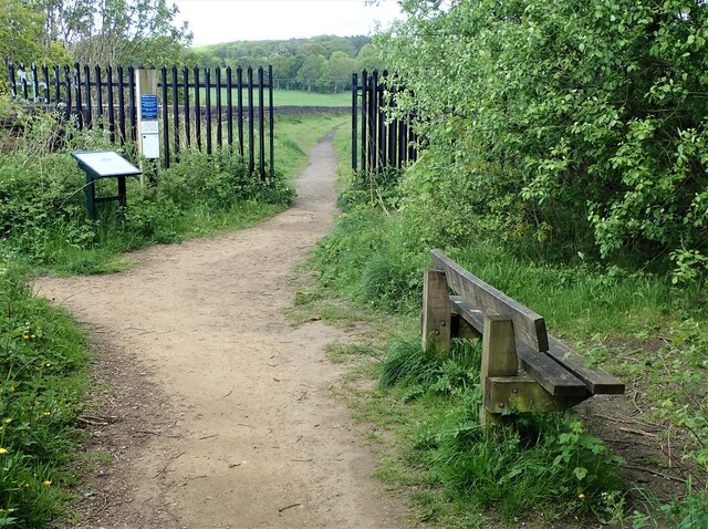
Coppy Plantation Images
Images are sourced within 2km of 53.809492/-2.373553 or Grid Reference SD7534. Thanks to Geograph Open Source API. All images are credited.
Coppy Plantation is located at Grid Ref: SD7534 (Lat: 53.809492, Lng: -2.373553)
Administrative County: Lancashire
District: Ribble Valley
Police Authority: Lancashire
What 3 Words
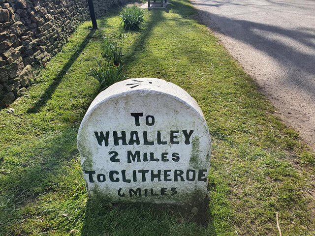
///condition.dribble.knocking. Near Whalley, Lancashire
Nearby Locations
Related Wikis

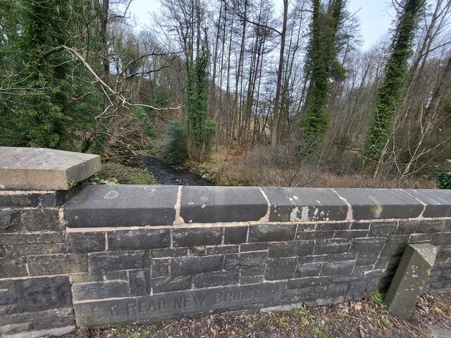
Read Hall and Park
Read Hall and Park is a manor house with ornamental grounds of about 450 acres (180 ha) in Whalley Road, Read, a few miles west of Padiham, Lancashire...

Martholme Viaduct
Martholme Viaduct is a 19th-century railway viaduct in the English county of Lancashire. It lies between the town of Great Harwood and the village of Read...

Martholme
Martholme is a Grade I listed medieval manor house standing on the banks of the River Calder 1+1⁄4 miles (2 km) from Great Harwood, Lancashire, England...

Portfield Hillfort
Portfield also known as Planes Wood Camp is a late Bronze Age or Iron Age hillfort situated close to the town of Whalley in Lancashire, Northern England...

Sabden Brook
Sabden Brook is a small river running through Lancashire in England. It is 7.59 miles (12.21 km) long and has a catchment area of 6.84 square miles (17...

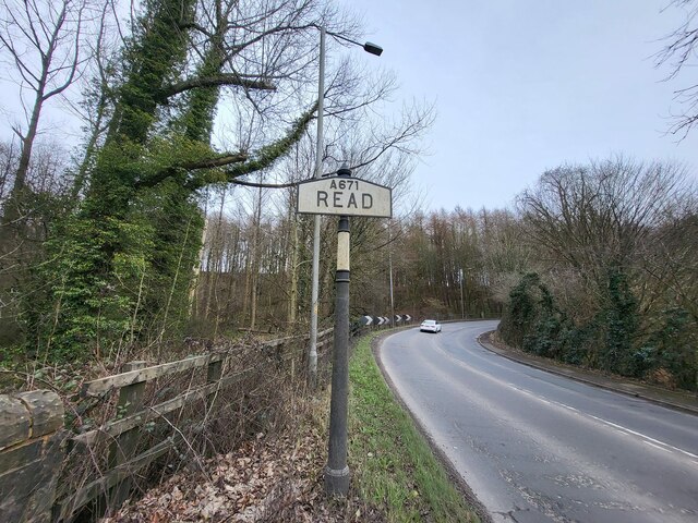
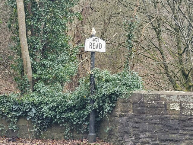
Read, Lancashire
Read is a village in Lancashire 5 miles west northwest of Burnley and 2 miles east of Whalley. It is on the A671 which is the main road between Burnley...

Hyndburn Brook
Hyndburn Brook is a minor river in eastern Lancashire. It is approximately 4.5 miles (7.3 km) long, and has the catchment area (not including the River...

Simonstone, Lancashire
Simonstone is a small village and civil parish in the Ribble Valley district of Lancashire, England. The population of the civil parish taken at the 2011...
Nearby Amenities
Located within 500m of 53.809492,-2.373553Have you been to Coppy Plantation?
Leave your review of Coppy Plantation below (or comments, questions and feedback).