Bridge Hey Wood

Wood, Forest in Lancashire Ribble Valley

England

Bridge Hey Wood

Checco's Pizzeria
Checco's Pizzeria Credit: Anthony Parkes

Bridge Hey Wood is a small woodland area located in Lancashire, England. Situated near the town of Wood, the wood is known for its serene and picturesque surroundings, making it a popular destination for nature lovers and outdoor enthusiasts.

Covering an area of approximately 20 hectares, Bridge Hey Wood is characterized by a mix of deciduous and coniferous trees, creating a diverse and vibrant ecosystem. The wood is home to a variety of plant and animal species, including oak, birch, beech, and pine trees, as well as foxes, badgers, and numerous species of birds.

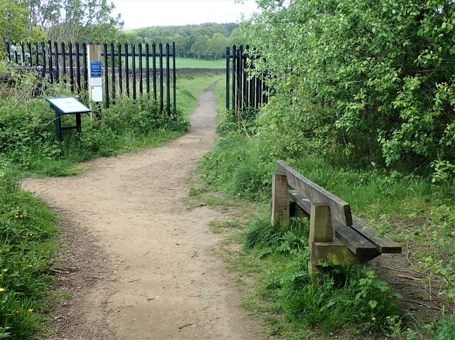
The wood offers several walking trails and paths that allow visitors to explore its natural beauty. These paths are well-maintained and suitable for all levels of fitness, making it an ideal location for leisurely walks or more challenging hikes. Along the trails, visitors can enjoy the tranquil ambiance, observe wildlife, and appreciate the changing colors of the seasons.

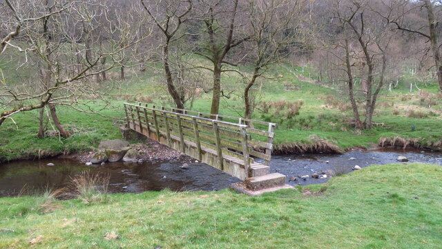
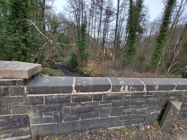
Bridge Hey Wood also features a small stream that flows through the woodland, adding to its charm and providing a soothing soundtrack to the surrounding environment. The stream is home to various aquatic species and serves as a watering hole for local wildlife.

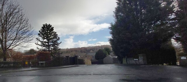
The wood is easily accessible, with nearby parking facilities and clear signposting. It is a popular spot for families, dog walkers, and those seeking a peaceful retreat away from the hustle and bustle of urban life.

Overall, Bridge Hey Wood offers a beautiful natural setting, providing a peaceful escape and a chance to connect with nature in the heart of Lancashire.

If you have any feedback on the listing, please let us know in the comments section below.

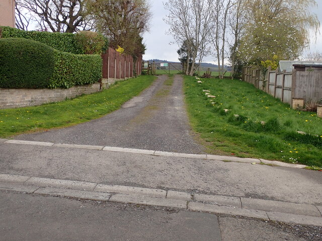
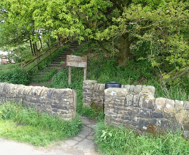
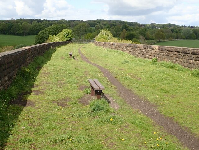
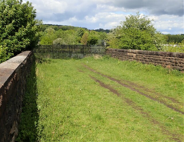
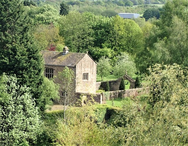
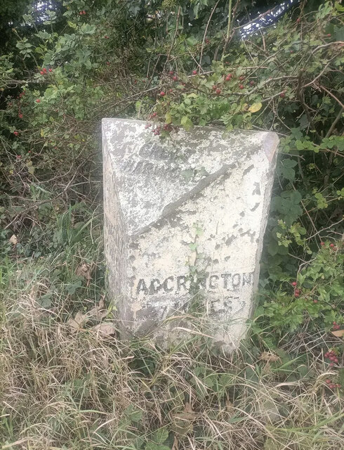
Bridge Hey Wood Images

Images are sourced within 2km of 53.804033/-2.3688582 or Grid Reference SD7534. Thanks to Geograph Open Source API. All images are credited.

Checco's Pizzeria
Checco's Pizzeria
Park Head
Park Head
Footbridge over Sabden Brook below Hodgeon Stone Plantation
Old Bridge Marker on the A671 Whalley Road Bridge Marker set in the parapet of Read New Bridge, Sabden Brook, next to boundary marker LA_BUCL06pb, on the north side of the A671 Whalley Road. On the boundary of Whalley and Read parishes.

Milestone Society National ID: LA_WHAREA01br
Old Bridge Marker on the A671 Whalley Road
Bridge Marker set in the parapet of Read New Bridge, Sabden Brook, next to boundary marker LA_BUCL06pb, on the north side of the A671 Whalley Road. On the boundary of Whalley and Read parishes. Milestone Society National ID: LA_WHAREA01br
Village Signpost on the A671 Whalley Road near Read New Bridge Located on the northeast side of the A671 Whalley Road at the east end of Read New Bridge in Read parish. 

Milestone Society National ID: LA_SD7434V
Village Signpost on the A671 Whalley Road near Read New Bridge
Located on the northeast side of the A671 Whalley Road at the east end of Read New Bridge in Read parish. Milestone Society National ID: LA_SD7434V
Village Signpost on the A671 Whalley Road on Read New Bridge Located on the southwest side of the A671 Whalley Road on Read New Bridge in Read parish. 

Milestone Society National ID: LA_SD7434W
Village Signpost on the A671 Whalley Road on Read New Bridge
Located on the southwest side of the A671 Whalley Road on Read New Bridge in Read parish. Milestone Society National ID: LA_SD7434W
Footpath off Carleton Road The entrance leading to the footpath from Carleton road Simonstone.
Footpath off Carleton Road
The entrance leading to the footpath from Carleton road Simonstone.
Gateway for steps leading to Viaduct The gateway leading to the 74 steps providing access from Martholme Lane up to the Viaduct and Martholme Greenway.
Gateway for steps leading to Viaduct
The gateway leading to the 74 steps providing access from Martholme Lane up to the Viaduct and Martholme Greenway.
Access to Martholme Viaduct The barrier with gateway providing access to Martholme Viaduct from Martholme Greenway. The path leading off on the left leads to the 74 steps going down to Martholme Lane.
Access to Martholme Viaduct
The barrier with gateway providing access to Martholme Viaduct from Martholme Greenway. The path leading off on the left leads to the 74 steps going down to Martholme Lane.
Wooden Benches on Martholme Viaduct The benches on the path over Martholme Viaduct. Access beyond the viaduct has been closed off see closer view here - <a title="https://www.geograph.org.uk/photo/7483819" href="https://www.geograph.org.uk/photo/7483819">Link</a>
Wooden Benches on Martholme Viaduct
The benches on the path over Martholme Viaduct. Access beyond the viaduct has been closed off see closer view here - Link
End of Access from Martholme Viaduct A closer view of the barrier erected at the end of the path leading over Martholme Viaduct towards Read and Simmonstone.
End of Access from Martholme Viaduct
A closer view of the barrier erected at the end of the path leading over Martholme Viaduct towards Read and Simmonstone.
Martholme Gatehouse and outer archway Martholme manor house dates from the 13th century when the house belonged to the de Fitton family. It was passed through marriage to the Hesketh family and re-built in 1577 during the reign of Queen Elizabeth I. During that time the Lords of the Manor would carry out their own code of justice on local law breakers and this was dispensed at the Gatehouse. The Gatehouse can be seen in the picture with the Outer Archway which was added in 1607. The remaining buildings are located off to the left and obscured by trees.
Manor House - <span class="nowrap"><a title="https://redrosecollections.lancashire.gov.uk/view-item?i=274760&WINID=1690967778154" rel="nofollow ugc noopener" href="https://redrosecollections.lancashire.gov.uk/view-item?i=274760&WINID=1690967778154">Link</a><img style="margin-left:2px;" alt="External link" title="External link - shift click to open in new window" src="https://s1.geograph.org.uk/img/external.png" width="10" height="10"/></span>
Martholme Gatehouse and outer archway
Martholme manor house dates from the 13th century when the house belonged to the de Fitton family. It was passed through marriage to the Hesketh family and re-built in 1577 during the reign of Queen Elizabeth I. During that time the Lords of the Manor would carry out their own code of justice on local law breakers and this was dispensed at the Gatehouse. The Gatehouse can be seen in the picture with the Outer Archway which was added in 1607. The remaining buildings are located off to the left and obscured by trees. Manor House - LinkExternal link
Old Milestone by the A680, Rodger Hey Farm, Great Harwood parish Carved stone post by the A680, in parish of GREAT HARWOOD (HYNDBURN District), North of Rodger Hey, by the road, on West side of road. Lancs CC stone triangle, erected by the County Council in the 19th/20th century. 

Inscription reads:-
: WHALLEY / 2 MILES / CLITHEROE / 6 MILES : : GREAT / HARWOOD : : ACCRINGTON / 3 MILES : 

Milestone Society National ID: LA_CLAC06.
Old Milestone by the A680, Rodger Hey Farm, Great Harwood parish
Carved stone post by the A680, in parish of GREAT HARWOOD (HYNDBURN District), North of Rodger Hey, by the road, on West side of road. Lancs CC stone triangle, erected by the County Council in the 19th/20th century. Inscription reads:- : WHALLEY / 2 MILES / CLITHEROE / 6 MILES : : GREAT / HARWOOD : : ACCRINGTON / 3 MILES : Milestone Society National ID: LA_CLAC06.
The entrance to Martholme Martholme is a grade I listed medieval manor house standing on the bank of the River Calder
The entrance to Martholme
Martholme is a grade I listed medieval manor house standing on the bank of the River Calder
The River Calder from under the Martholme viaduct
Checcos Trattoria Pizzeria at Roger Hey
The Walton Arms
The Walton Arms
Footpath to The Old Engine
Show me another place!

Bridge Hey Wood is located at Grid Ref: SD7534 (Lat: 53.804033, Lng: -2.3688582)

Administrative County: Lancashire

District: Ribble Valley

Police Authority: Lancashire

What 3 Words

///elsewhere.cycles.rattled. Near Great Harwood, Lancashire

Related Wikis

Read Hall and Park

Read Hall and Park is a manor house with ornamental grounds of about 450 acres (180 ha) in Whalley Road, Read, a few miles west of Padiham, Lancashire...

Martholme

Martholme is a Grade I listed medieval manor house standing on the banks of the River Calder 1+1⁄4 miles (2 km) from Great Harwood, Lancashire, England...

Martholme Viaduct

Martholme Viaduct is a 19th-century railway viaduct in the English county of Lancashire. It lies between the town of Great Harwood and the village of Read...
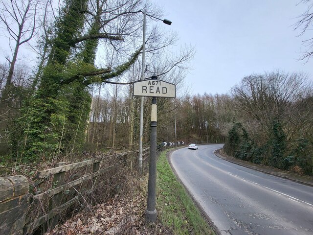
Read, Lancashire

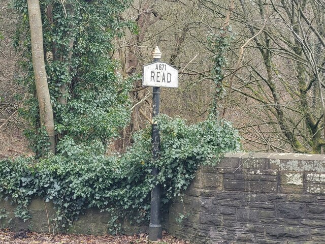
Read is a village in Lancashire 5 miles west northwest of Burnley and 2 miles east of Whalley. It is on the A671 which is the main road between Burnley...

Nearby Amenities

Located within 500m of 53.804033,-2.3688582
Source: landsat
Lat/Long: 53.8024902/-2.3652044
Bridge Hey Wood
Natural: wood
Source: OS_OpenData_StreetView
Lat/Long: 53.8037302/-2.3696286
New Plantation
Natural: wood
Source: OS_OpenData_StreetView
Lat/Long: 53.8009929/-2.3642427
Barrier: lift_gate
Lat/Long: 53.8014821/-2.3679087
Historic: milestone
Lat/Long: 53.8046125/-2.370614
Bus Stop
Haywood Caravan Park
Naptan AtcoCode: 2500IMG2363
Naptan NaptanCode: langatmp
Public Transport: platform
Lat/Long: 53.8052358/-2.3668557
Bus Stop
Haywood Caravan Park
Public Transport: platform
Lat/Long: 53.8051882/-2.3667202
The data included in this document is from www.openstreetmap.org. The data is made available under ODbL.

Have you been to Bridge Hey Wood?

Leave your review of Bridge Hey Wood below (or comments, questions and feedback).