Ash Fell
Downs, Moorland in Westmorland Eden
England
Ash Fell
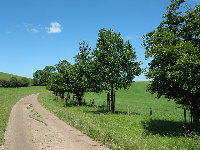
Ash Fell is a picturesque area located in the county of Westmorland in the northwestern part of England. Known for its stunning natural beauty, Ash Fell is a combination of downs and moorland, offering visitors a diverse landscape to explore.
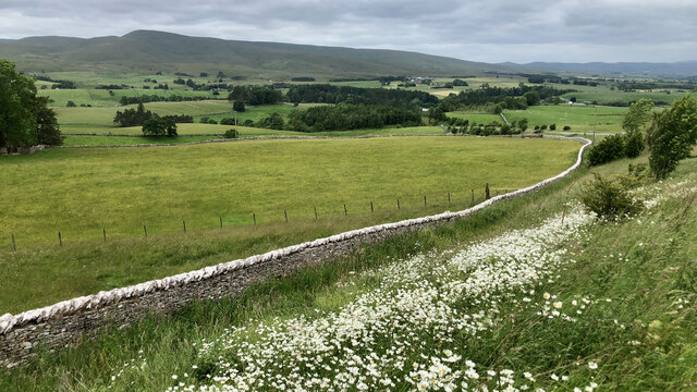
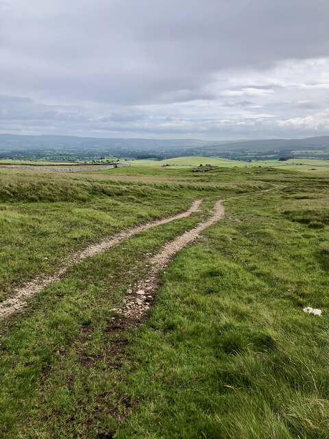
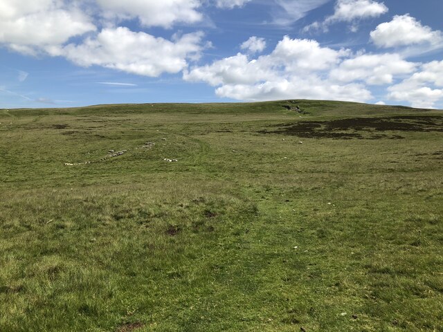
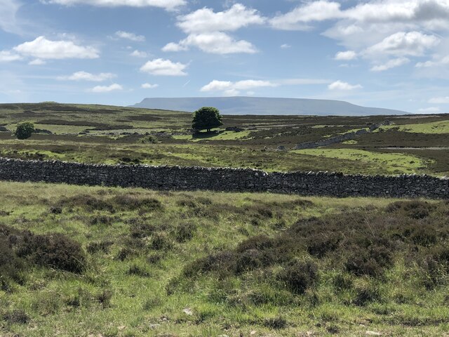
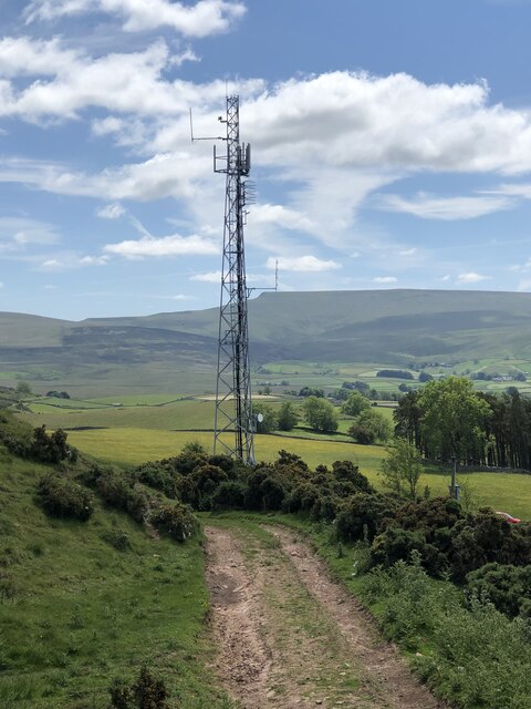
The downs of Ash Fell are characterized by gently rolling hills covered in lush green grass, providing breathtaking panoramic views of the surrounding countryside. These open spaces are often frequented by hikers and nature enthusiasts, offering ample opportunities for outdoor activities such as walking, picnicking, and birdwatching.
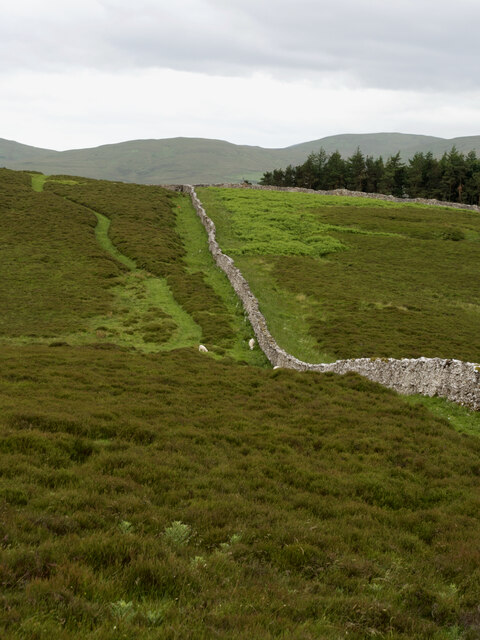
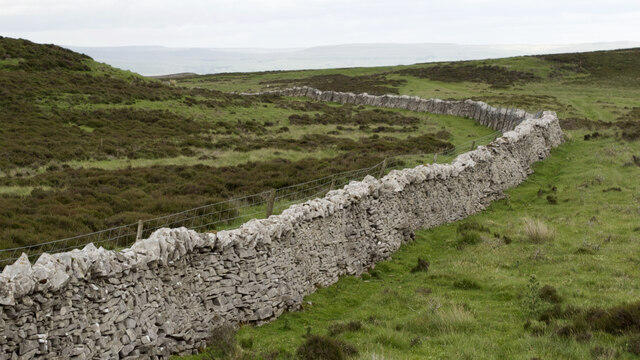
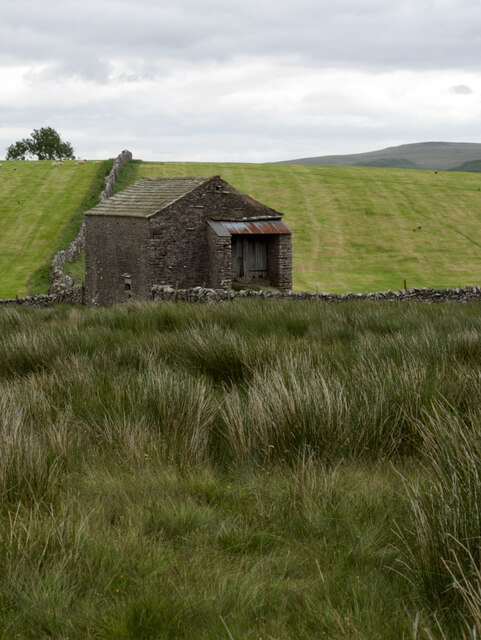
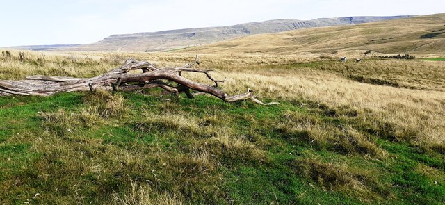
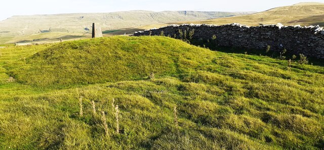
The moorland in Ash Fell adds to the area's charm with its vast expanse of heather-covered hills and open spaces. This unique ecosystem is home to a variety of plant and animal species, including grouse, curlew, and various types of mosses and lichens. The moorland provides a natural habitat for these species and offers a peaceful and serene environment for visitors to immerse themselves in nature.
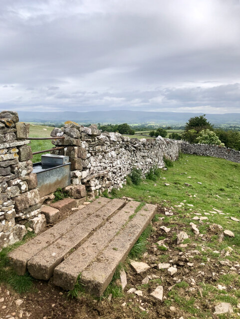
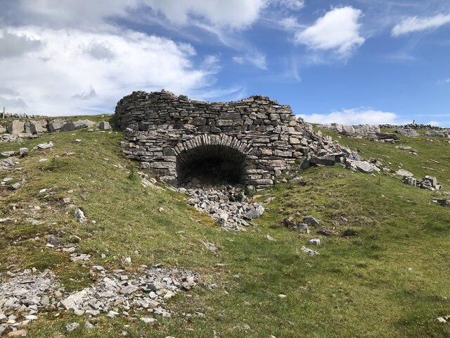
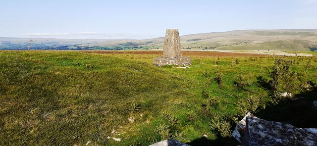
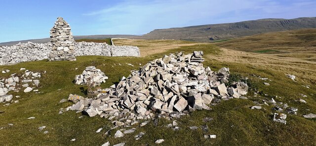
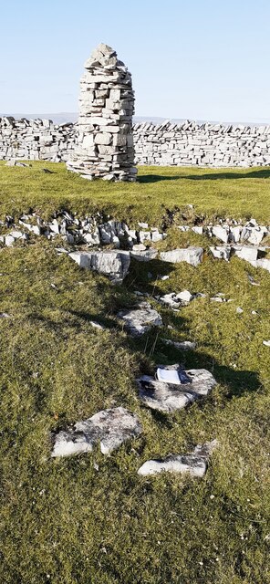
In addition to its natural wonders, Ash Fell also boasts historical significance. The area is dotted with ancient stone circles and burial mounds, providing a glimpse into the region's rich past. Visitors can explore these archaeological sites and learn about the area's cultural heritage.
Overall, Ash Fell in Westmorland offers a harmonious blend of downs and moorland, captivating visitors with its natural beauty and historical significance. Whether one seeks peaceful walks, stunning views, or a deeper connection with nature and history, Ash Fell is a destination that will not disappoint.
If you have any feedback on the listing, please let us know in the comments section below.
Ash Fell Images
Images are sourced within 2km of 54.442884/-2.3972616 or Grid Reference NY7405. Thanks to Geograph Open Source API. All images are credited.
![Long Plantation The name that appears on the 1862 6&quot; O.S. map. with a wood symbol — see Maps.nls.uk. (2022). View map: Westmorland XXX (includes: Kirkby Stephen; Mallerstang; Nateby; Ravenstonedale; ...) - Ordnance Survey Six-inch England and Wales, 1842-1952. [online] Available at: <span class="nowrap"><a title="https://maps.nls.uk/view/102347880#zoom=6&amp;lat=9304&amp;lon=2399&amp;layers=BT" rel="nofollow ugc noopener" href="https://maps.nls.uk/view/102347880#zoom=6&amp;lat=9304&amp;lon=2399&amp;layers=BT">Link</a><img style="margin-left:2px;" alt="External link" title="External link - shift click to open in new window" src="https://s1.geograph.org.uk/img/external.png" width="10" height="10"/></span> [Accessed 26 Jun. 2022].](https://s3.geograph.org.uk/geophotos/07/21/03/7210371_573ad245.jpg)
Ash Fell is located at Grid Ref: NY7405 (Lat: 54.442884, Lng: -2.3972616)
Administrative County: Cumbria
District: Eden
Police Authority: Cumbria
What 3 Words
///pricing.surcharge.deprive. Near Kirkby Stephen, Cumbria
Nearby Locations
Related Wikis


Nearby Amenities
Located within 500m of 54.442884,-2.3972616Have you been to Ash Fell?
Leave your review of Ash Fell below (or comments, questions and feedback).