Wether Hill
Hill, Mountain in Westmorland Eden
England
Wether Hill
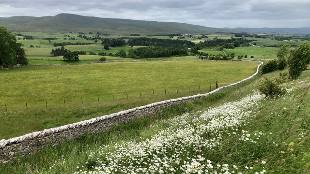
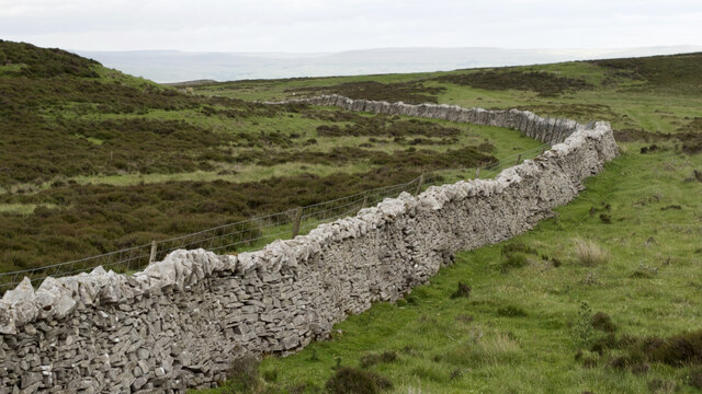
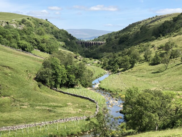
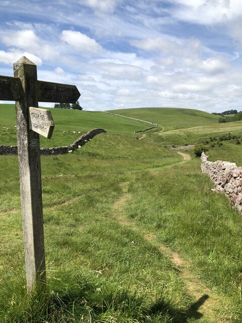
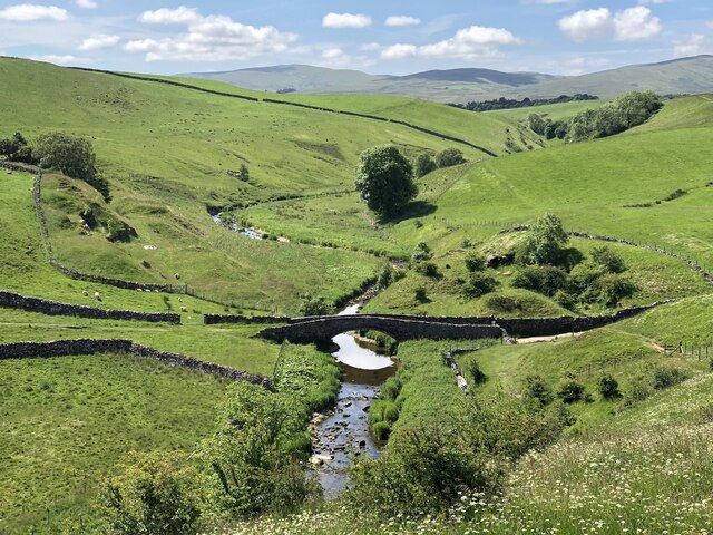
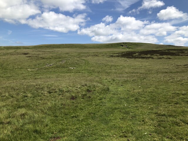
Wether Hill is a prominent hill located in the county of Westmorland, which lies in the northwest region of England. It is part of the Lake District National Park, renowned for its stunning natural landscapes and picturesque views. Standing at an elevation of 674 meters (2,211 feet), Wether Hill is classified as a mountain.
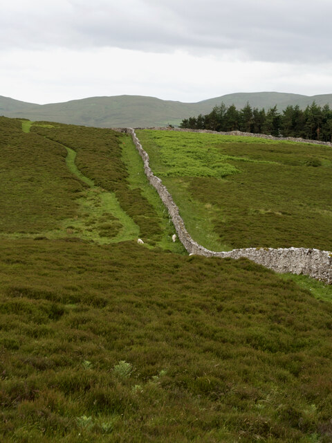
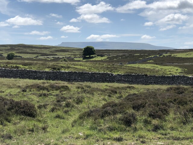
The hill is situated in a remote and rugged area, surrounded by other notable peaks such as High Raise and Loadpot Hill. It offers breathtaking vistas of the surrounding countryside, with panoramic views that stretch across the rolling hills and sparkling lakes of the Lake District.
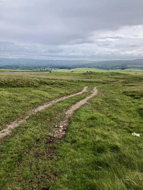
Wether Hill is a popular destination for hikers and outdoor enthusiasts, who are drawn to its challenging terrain and stunning scenery. Several walking routes and trails lead to the summit, offering a variety of options for both experienced climbers and leisurely walkers. The climb to the top can be demanding, but the reward is well worth the effort, as visitors are treated to unparalleled views of the surrounding fells and valleys.
The hill is also home to a diverse range of flora and fauna, with heather moorland, grassy slopes, and rocky outcrops providing habitats for various plant and animal species. The area is particularly known for its birdlife, with species such as curlews, red grouse, and golden plovers frequently spotted.
In conclusion, Wether Hill is a striking mountain located in the beautiful county of Westmorland in the Lake District National Park. Its challenging ascent, coupled with its breathtaking views and diverse wildlife, make it a popular attraction for outdoor enthusiasts and nature lovers alike.
If you have any feedback on the listing, please let us know in the comments section below.
Wether Hill Images
Images are sourced within 2km of 54.448304/-2.4023107 or Grid Reference NY7405. Thanks to Geograph Open Source API. All images are credited.
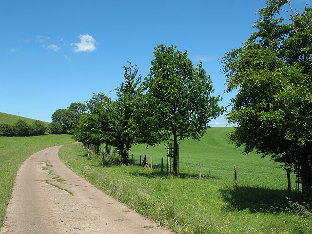
![Long Plantation The name that appears on the 1862 6&quot; O.S. map. with a wood symbol — see Maps.nls.uk. (2022). View map: Westmorland XXX (includes: Kirkby Stephen; Mallerstang; Nateby; Ravenstonedale; ...) - Ordnance Survey Six-inch England and Wales, 1842-1952. [online] Available at: <span class="nowrap"><a title="https://maps.nls.uk/view/102347880#zoom=6&amp;lat=9304&amp;lon=2399&amp;layers=BT" rel="nofollow ugc noopener" href="https://maps.nls.uk/view/102347880#zoom=6&amp;lat=9304&amp;lon=2399&amp;layers=BT">Link</a><img style="margin-left:2px;" alt="External link" title="External link - shift click to open in new window" src="https://s1.geograph.org.uk/img/external.png" width="10" height="10"/></span> [Accessed 26 Jun. 2022].](https://s3.geograph.org.uk/geophotos/07/21/03/7210371_573ad245.jpg)


Wether Hill is located at Grid Ref: NY7405 (Lat: 54.448304, Lng: -2.4023107)
Administrative County: Cumbria
District: Eden
Police Authority: Cumbria
What 3 Words
///ranges.sprinting.playroom. Near Kirkby Stephen, Cumbria
Nearby Locations
Related Wikis
Smardale
Smardale is a small village and former civil parish, now in the parish of Waitby, in the Eden district, in Cumbria, England. In 1891 the parish had a population...

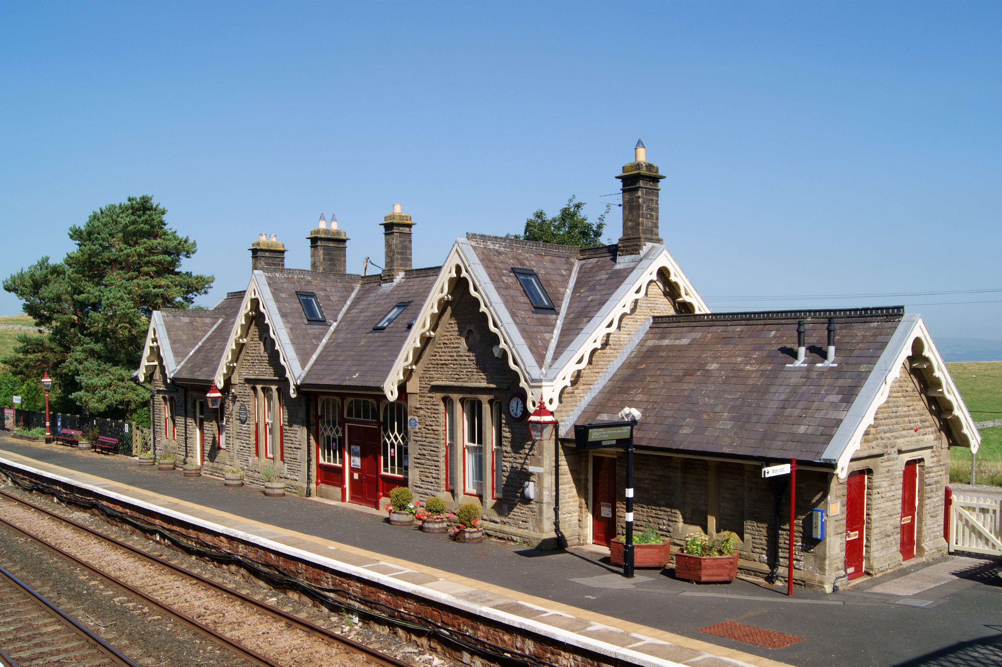
Smardale railway station
Smardale railway station was a minor station on the South Durham & Lancashire Union Railway between Tebay and Kirkby Stephen East. It served the villages...
Kirkby Stephen railway station
Kirkby Stephen is a railway station in Eden in Cumbria, England, on the Settle and Carlisle Line, which runs between Carlisle and Leeds via Settle. The...
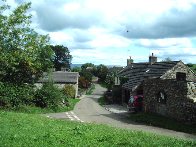
Waitby
Waitby is a small village and civil parish in the Eden district of Cumbria, England. The parish contains two small villages, Waitby and Smardale, plus...

Ravenstonedale Priory
Ravenstonedale Priory was a Gilbertine priory in Cumbria, England. It was founded in the reign of Henry II, when Torphin, son of Robert, son of Copsus...
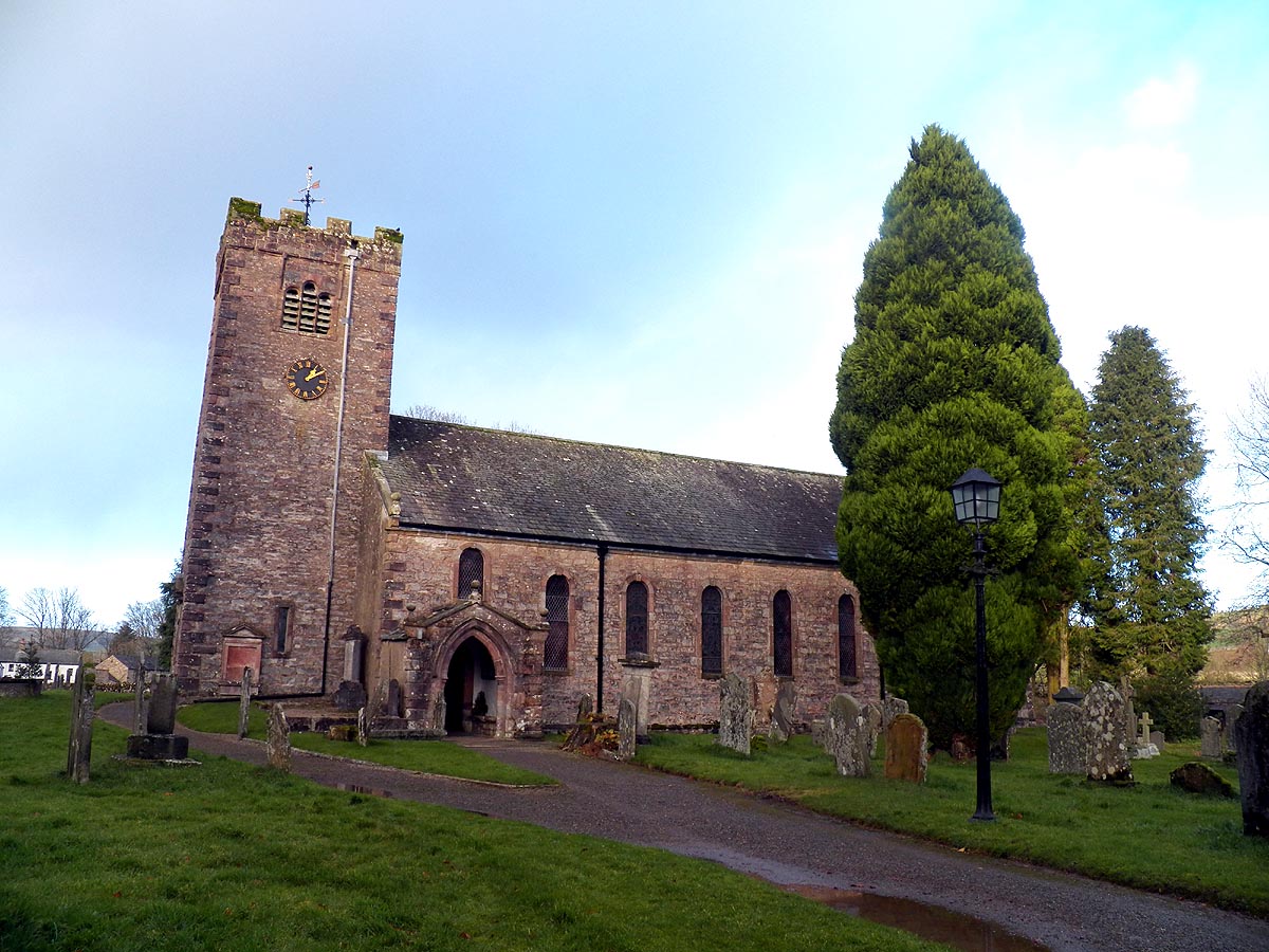
St Oswald's Church, Ravenstonedale
St Oswald's Church is in the village of Ravenstonedale, Cumbria, England. It is an active Anglican parish church in the deanery of Appleby, the archdeaconry...

Ravenstonedale
Ravenstonedale is a village and large civil parish in Cumbria, on the watershed between the River Lune and River Eden. The village lies 4 miles (6 km)...
Wharton, Cumbria
Wharton is a civil parish near Kirkby Stephen in the Eden District of Cumbria, England, which, historically, was part of Westmorland. It has a population...
Nearby Amenities
Located within 500m of 54.448304,-2.4023107Have you been to Wether Hill?
Leave your review of Wether Hill below (or comments, questions and feedback).