Wysack Well
Lake, Pool, Pond, Freshwater Marsh in Westmorland Eden
England
Wysack Well
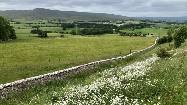
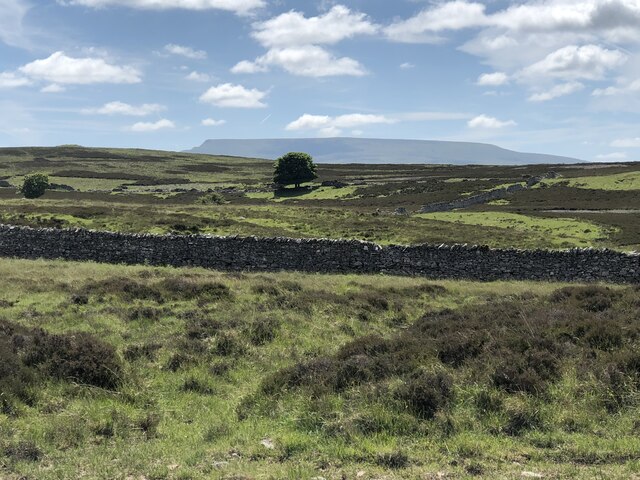
Wysack Well is a picturesque freshwater marsh located in Westmorland, a county in the northwestern region of England. This natural wonder, also known as Wysack Lake, Pool, or Pond, is a hidden gem nestled among rolling hills and lush greenery.
Spanning approximately 10 acres, Wysack Well is a tranquil oasis that teems with diverse flora and fauna. The marshland is primarily fed by underground springs, ensuring a constant supply of freshwater that sustains its vibrant ecosystem. The water is crystal clear and reflects the surrounding landscape, creating a stunning visual spectacle.
The marshland is home to a wide variety of plant species, including reeds, rushes, and water lilies. These plants provide shelter and food for a multitude of animal species that inhabit the area. Bird enthusiasts will be delighted by the numerous avian species that can be spotted here, such as herons, ducks, and swans. Other wildlife that can be observed in the vicinity include frogs, dragonflies, and various small mammals.
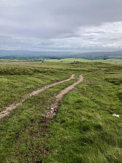
Wysack Well is a haven for nature lovers and an ideal spot for outdoor activities such as birdwatching, photography, and peaceful walks. The area is easily accessible, with well-maintained footpaths that meander through the marshland, offering visitors an opportunity to immerse themselves in the tranquil surroundings.
Whether one seeks solace in nature or desires to witness the diverse ecosystem of a freshwater marsh, Wysack Well in Westmorland is a destination that promises a captivating experience for all who venture there.
If you have any feedback on the listing, please let us know in the comments section below.
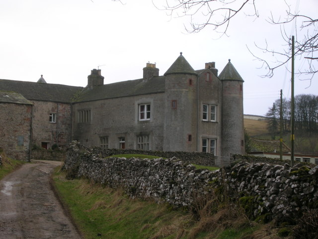
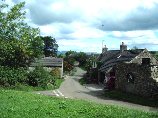
Wysack Well Images
Images are sourced within 2km of 54.447693/-2.3995597 or Grid Reference NY7405. Thanks to Geograph Open Source API. All images are credited.
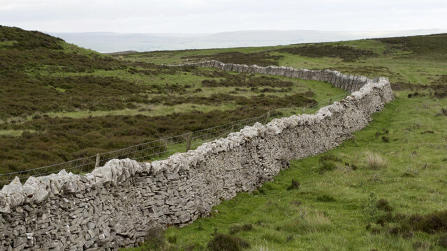
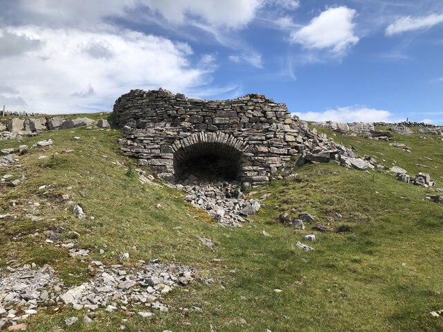
![Romano-British settlement and associated field system at Waitby Intake For more info. see Heritagegateway.org.uk. (2018). List Entry Number: 1018064. [online] Available at: <span class="nowrap"><a title="https://www.heritagegateway.org.uk/Gateway/Results_Single.aspx?uid=1018064&amp;resourceID=5" rel="nofollow ugc noopener" href="https://www.heritagegateway.org.uk/Gateway/Results_Single.aspx?uid=1018064&amp;resourceID=5">Link</a><img style="margin-left:2px;" alt="External link" title="External link - shift click to open in new window" src="https://s1.geograph.org.uk/img/external.png" width="10" height="10"/></span> [Accessed 26 Jun. 2022].](https://s0.geograph.org.uk/geophotos/07/21/03/7210332_c411505d.jpg)
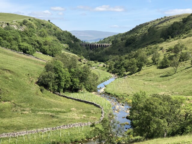
![Long Plantation The name that appears on the 1862 6&quot; O.S. map. with a wood symbol — see Maps.nls.uk. (2022). View map: Westmorland XXX (includes: Kirkby Stephen; Mallerstang; Nateby; Ravenstonedale; ...) - Ordnance Survey Six-inch England and Wales, 1842-1952. [online] Available at: <span class="nowrap"><a title="https://maps.nls.uk/view/102347880#zoom=6&amp;lat=9304&amp;lon=2399&amp;layers=BT" rel="nofollow ugc noopener" href="https://maps.nls.uk/view/102347880#zoom=6&amp;lat=9304&amp;lon=2399&amp;layers=BT">Link</a><img style="margin-left:2px;" alt="External link" title="External link - shift click to open in new window" src="https://s1.geograph.org.uk/img/external.png" width="10" height="10"/></span> [Accessed 26 Jun. 2022].](https://s3.geograph.org.uk/geophotos/07/21/03/7210371_573ad245.jpg)


Wysack Well is located at Grid Ref: NY7405 (Lat: 54.447693, Lng: -2.3995597)
Administrative County: Cumbria
District: Eden
Police Authority: Cumbria
What 3 Words
///grit.richer.bullion. Near Kirkby Stephen, Cumbria
Nearby Locations
Related Wikis
Kirkby Stephen railway station
Kirkby Stephen is a railway station in Eden in Cumbria, England, on the Settle and Carlisle Line, which runs between Carlisle and Leeds via Settle. The...
Smardale
Smardale is a small village and former civil parish, now in the parish of Waitby, in the Eden district, in Cumbria, England. In 1891 the parish had a population...

Smardale railway station
Smardale railway station was a minor station on the South Durham & Lancashire Union Railway between Tebay and Kirkby Stephen East. It served the villages...
Waitby
Waitby is a small village and civil parish in the Eden district of Cumbria, England. The parish contains two small villages, Waitby and Smardale, plus...
Nearby Amenities
Located within 500m of 54.447693,-2.3995597Have you been to Wysack Well?
Leave your review of Wysack Well below (or comments, questions and feedback).