Greensett Moss
Downs, Moorland in Yorkshire Craven
England
Greensett Moss

Greensett Moss is a picturesque area located in the county of Yorkshire, England. Situated amidst the splendid landscapes of the Yorkshire Downs and Moorland, this region offers an idyllic setting that is sure to captivate nature enthusiasts and outdoor adventurers alike.
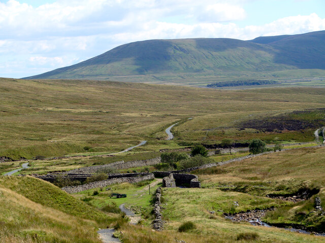
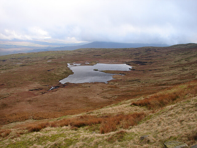
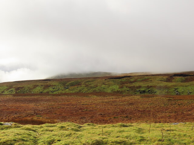
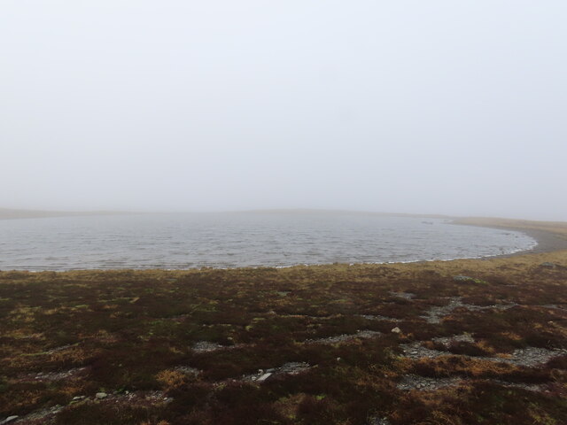
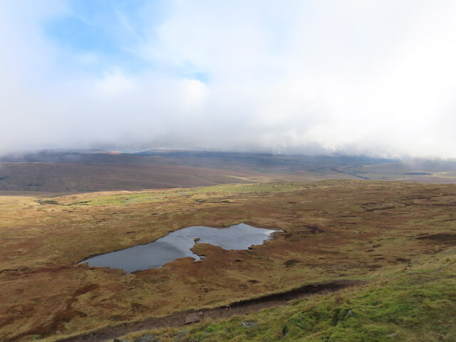
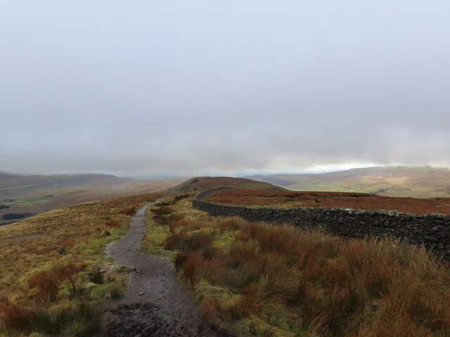
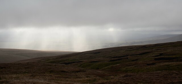
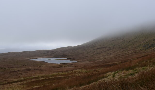
The moss itself is a stunning expanse of open land, characterized by its rich green grasses and a scattering of vibrant wildflowers during the warmer months. The undulating terrain is adorned with gentle slopes and occasional rocky outcrops, providing visitors with breathtaking panoramic views of the surrounding countryside.
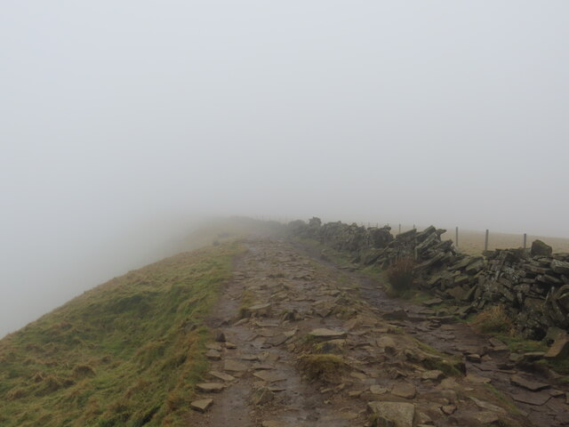
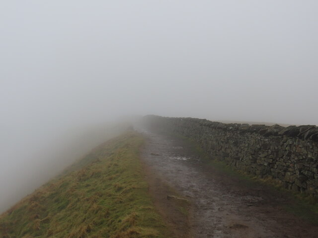
The Yorkshire Downs, which form a prominent part of Greensett Moss, are renowned for their rolling hills, wide open spaces, and grazing sheep. The area is interspersed with quaint villages, historic sites, and walking trails, making it an ideal destination for hikers and ramblers. The moorland, on the other hand, boasts vast stretches of heather-covered hills, adding a touch of purple to the landscape and providing a habitat for unique flora and fauna.
Greensett Moss offers a haven for wildlife, including various species of birds, small mammals, and insects. Birdwatchers can spot birds of prey soaring through the skies, while nature lovers can immerse themselves in the tranquil atmosphere and revel in the beauty of the surrounding countryside.
Visitors to Greensett Moss can indulge in a range of outdoor activities, such as hiking, cycling, and picnicking. The area also offers opportunities for photography, painting, and simply appreciating the serene surroundings. With its stunning natural beauty and diverse ecosystems, Greensett Moss is a must-visit destination for those seeking respite from the hustle and bustle of city life and a chance to reconnect with nature.
If you have any feedback on the listing, please let us know in the comments section below.
Greensett Moss Images
Images are sourced within 2km of 54.23294/-2.3953335 or Grid Reference SD7481. Thanks to Geograph Open Source API. All images are credited.


Greensett Moss is located at Grid Ref: SD7481 (Lat: 54.23294, Lng: -2.3953335)
Division: West Riding
Administrative County: North Yorkshire
District: Craven
Police Authority: North Yorkshire
What 3 Words
///neckline.stow.hurray. Near Ingleton, North Yorkshire
Nearby Locations
Related Wikis

Whernside
Whernside is a mountain in the Yorkshire Dales in Northern England. It is the highest of the Yorkshire Three Peaks, the other two being Ingleborough and...
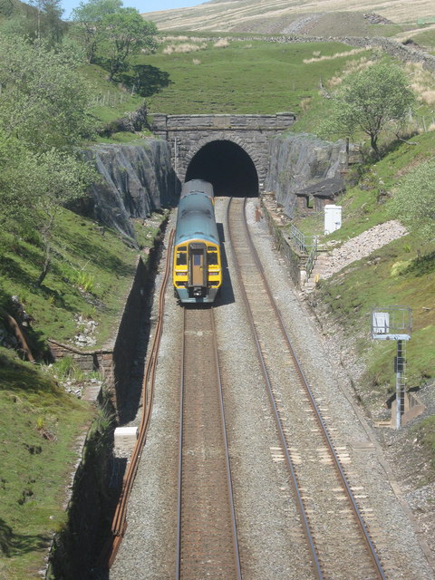
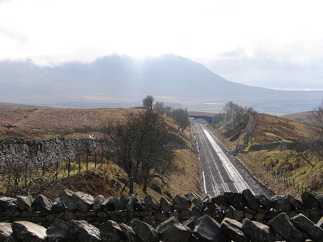
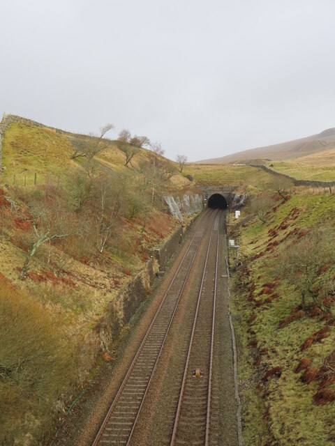
Blea Moor Tunnel
Blea Moor Tunnel is a 2,629 yards (1.494 mi)(2,404 m) railway tunnel located between Ribblehead Viaduct and Dent railway station in England. It is the...
Thornton in Lonsdale
Thornton in Lonsdale is a village and civil parish in the Craven District and ceremonial county of North Yorkshire in England. It is very close to the...

Ribblehead Viaduct
The Ribblehead Viaduct or Batty Moss Viaduct carries the Settle–Carlisle railway across Batty Moss in the Ribble Valley at Ribblehead, in North Yorkshire...

Ribblehead railway station
Ribblehead is a railway station on the Settle and Carlisle Line, which runs between Carlisle and Leeds via Settle. The station, situated 52 miles 17 chains...

Green Hill (Lancashire)
Green Hill is a mountain or fell in north west England. Its summit is 628 metres (2,060 ft) above sea level. It is located above Cowan Bridge, Lancashire...

Ribblehead
Ribblehead is the area of moorland at the head of the River Ribble in the area known as Ribblesdale, in the Yorkshire Dales National Park, England. Ribblehead...

Ribblehead Quarry
Ribblehead Quarry is a former limestone quarry next to Ribblehead railway station in the Yorkshire Dales National Park, North Yorkshire, England. It had...
Nearby Amenities
Located within 500m of 54.23294,-2.3953335Have you been to Greensett Moss?
Leave your review of Greensett Moss below (or comments, questions and feedback).