Newby Moss
Downs, Moorland in Yorkshire Craven
England
Newby Moss
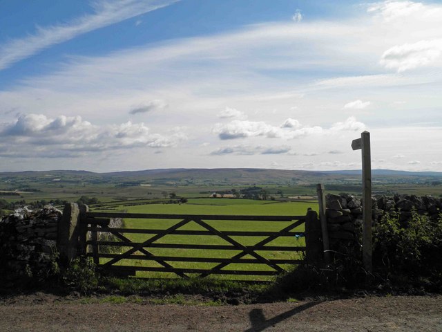
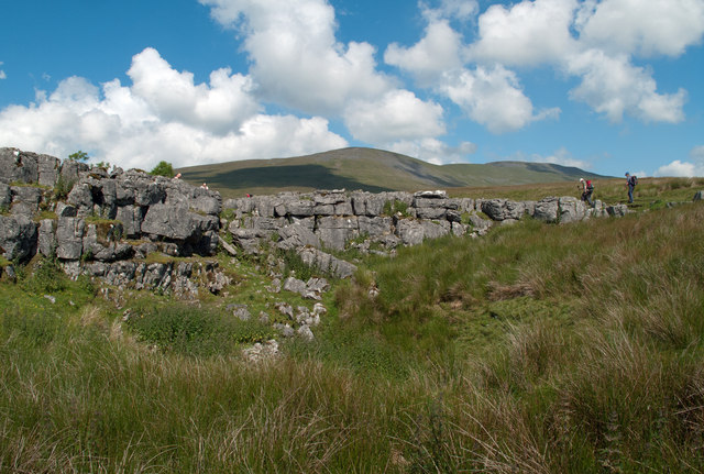
Newby Moss is a picturesque region located in Yorkshire, England. Nestled amidst the stunning landscape of Yorkshire Downs and Moorland, it offers visitors a serene and idyllic escape from the bustling city life. With its sprawling green fields, rolling hills, and tranquil atmosphere, Newby Moss is a haven for nature lovers and outdoor enthusiasts.
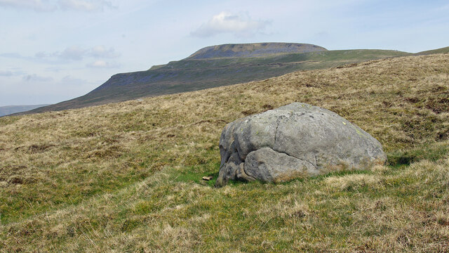
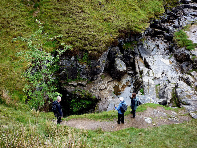
The area is characterized by its diverse flora and fauna, with an abundance of heather, moss, and wildflowers adorning the landscape. Visitors can enjoy leisurely walks or hikes along the numerous trails that crisscross the region, taking in the breathtaking views of the surrounding countryside.
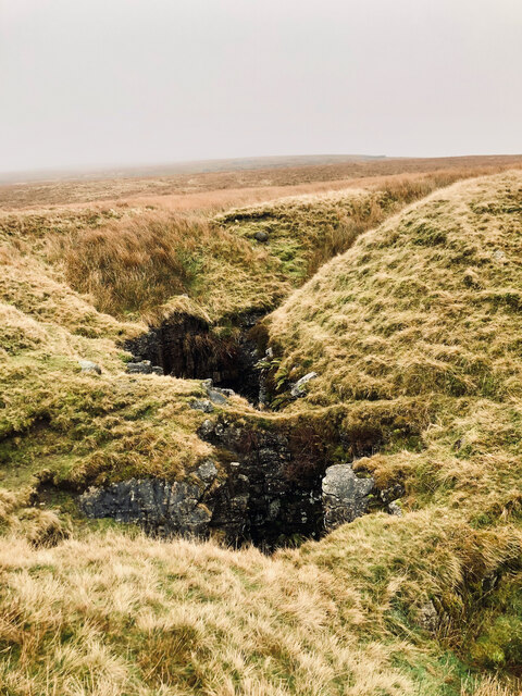
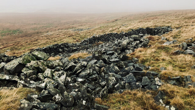
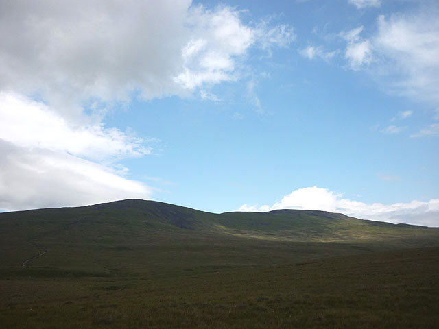
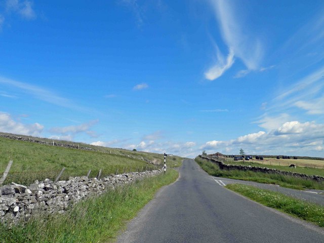
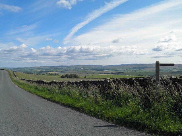
The Yorkshire Downs, which encompass a significant portion of Newby Moss, are known for their sweeping vistas and rugged beauty. The undulating hills provide a stunning backdrop for activities such as horseback riding, cycling, and birdwatching. The moorland, on the other hand, offers a unique ecosystem with its heathlands, peat bogs, and rich wildlife.
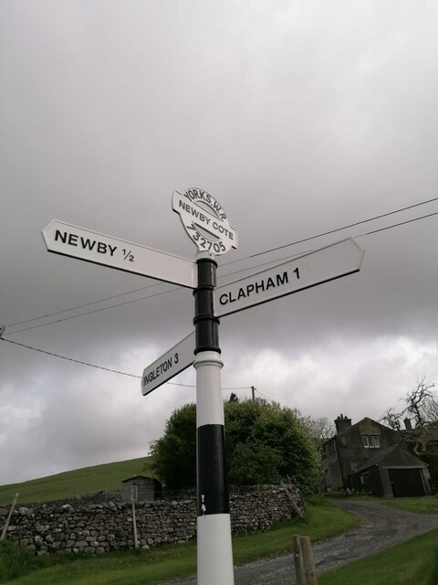
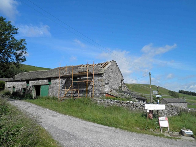
Newby Moss is also home to several charming villages and hamlets, each with its own distinct character and charm. Visitors can explore the quaint streets, visit historic buildings, and experience the warm hospitality of the locals.
For those seeking a peaceful retreat, Newby Moss offers a range of accommodation options, including cozy bed and breakfasts, cottages, and country inns. Additionally, there are a variety of traditional pubs and restaurants where visitors can savor the delicious local cuisine and indulge in a pint of Yorkshire ale.
Overall, Newby Moss is a hidden gem in Yorkshire, offering visitors a chance to immerse themselves in the beauty of nature and experience the tranquility of the countryside.
If you have any feedback on the listing, please let us know in the comments section below.
Newby Moss Images
Images are sourced within 2km of 54.144117/-2.4033499 or Grid Reference SD7372. Thanks to Geograph Open Source API. All images are credited.
![Fallen star An oddity I came across while descending Ingleborough was several masses of a whitish jelly-like substance. A sort of like wallpaper paste. There was nothing else around, no sheep, just rough open moorland at 350m asl.
There seems to be many explanations as to what this jelly was, but after consulting the oracle that is Wikipedia, I reckon it&#039;s an alga called Nostoc, or Astromyxin, a form of cyanobacteria.
It has many common names which are most interesting: Witches’ butter, Star jelly, Troll’s butter, Spit of moon, Astral jelly and Fallen star. In Gaelic, it is called Sgeith Rionnaig, ‘Star vomit’.
Many of these names derive from the suddenness of the jelly’s appearance, resulting in a belief of it apparently falling from the sky during meteor showers.
Two 17th-century works allude to this astral origin:
“That the Starres eat …that those falling Starres, as some call them, which are found on the earth in the form of a trembling gelly, are their excrement.”
And in Dryden’s play “Œdipus”:
“The tapers the gods
The sun and moon run down like waxen globes;
The shooting stars end all in purple jellies.
And chaos is at hand.”
It’s not surprising that such a mysterious and elusive substance would have lore associated with it. In the 14th-century, the jelly was thought a cure for abscesses.
For sources see my blog <span class="nowrap"><a title="http://www.fhithich.uk/?author=1" rel="nofollow ugc noopener" href="http://www.fhithich.uk/?author=1">Link</a><img style="margin-left:2px;" alt="External link" title="External link - shift click to open in new window" src="https://s1.geograph.org.uk/img/external.png" width="10" height="10"/></span>. 2023. ‘Stepping Stone Crossing of the River Doe at Beezleys’, Fhithich &lt;<span class="nowrap"><a title="http://www.fhithich.uk/?p=31085" rel="nofollow ugc noopener" href="http://www.fhithich.uk/?p=31085">Link</a><img style="margin-left:2px;" alt="External link" title="External link - shift click to open in new window" src="https://s1.geograph.org.uk/img/external.png" width="10" height="10"/></span> &gt; [accessed 2 January 2023]](https://s0.geograph.org.uk/geophotos/07/37/36/7373688_fefa0e2d.jpg)
Newby Moss is located at Grid Ref: SD7372 (Lat: 54.144117, Lng: -2.4033499)
Division: West Riding
Administrative County: North Yorkshire
District: Craven
Police Authority: North Yorkshire
What 3 Words
///classics.situated.squirts. Near Ingleton, North Yorkshire
Nearby Locations
Related Wikis

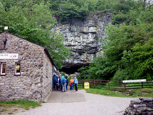
Stream Passage Pot
Stream Passage Pot is one of the entrances to the Gaping Gill system being located about 320 metres (350 yd) ESE of Gaping Gill Main Shaft. It is a popular...

Disappointment Pot
Disappointment Pot is one of the entrances to the Gaping Gill cave system, located in a steep grassy shakehole some 120 metres (130 yd) south-east of Gaping...

Flood Entrance Pot
Flood Entrance Pot (sometimes known as Flood Exit Pot) is one of the entrances to the Gaping Gill cave system located about 300 metres (330 yd) south of...

Bar Pot
Bar Pot is one of the entrances to the Gaping Gill cave system being located about 340 metres (370 yd) south of Gaping Gill Main Shaft, on Ingleborough...
Nearby Amenities
Located within 500m of 54.144117,-2.4033499Have you been to Newby Moss?
Leave your review of Newby Moss below (or comments, questions and feedback).