Cote Moor

Downs, Moorland in Westmorland Eden

England

Cote Moor

Twin cairns, Fell End Clouds The shattered limestone of the Clouds contrasts sharply with the grassy flanks of the Howgill Fells beyond. Since 2016 everything in this area has been incorporated into the Yorkshire Dales National Park.
Twin cairns, Fell End Clouds Credit: Karl and Ali

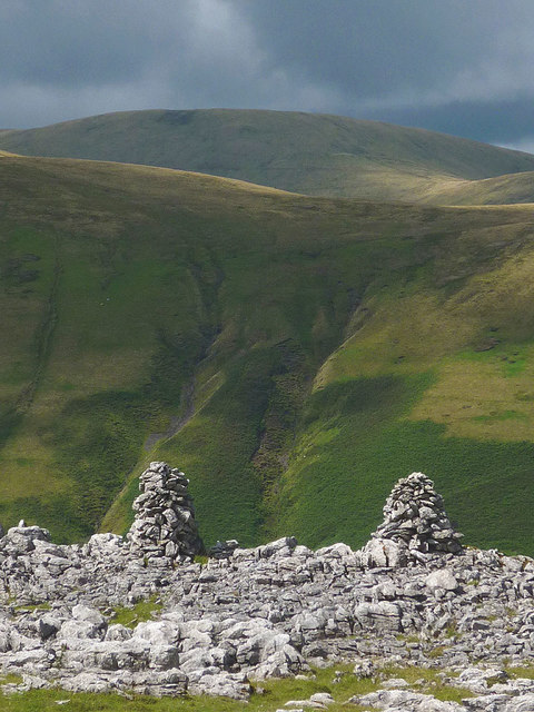
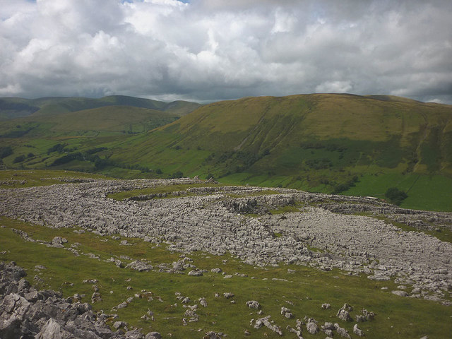
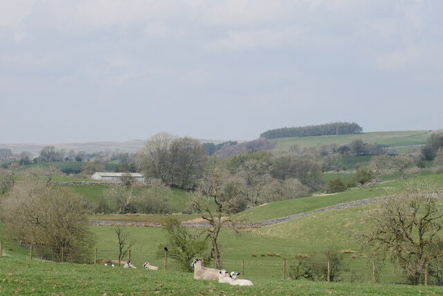
Cote Moor, located in Westmorland, England, is a picturesque region featuring a unique combination of downs and moorland landscapes. Spanning an area of approximately 10 square miles, the moor is characterized by its rolling hills, open grasslands, and expansive stretches of heather.

The geography of Cote Moor is defined by its elevation, reaching up to 1,500 feet above sea level in some areas. This results in panoramic views of the surrounding countryside, including the nearby Lake District National Park and the Yorkshire Dales. The diverse terrain creates a habitat for various wildlife species, including birds such as lapwings, curlews, and skylarks, as well as mammals like hares and foxes.

Throughout the year, Cote Moor undergoes seasonal changes, each offering its own unique beauty. In spring and summer, the moorland bursts with vibrant wildflowers, while autumn brings a rich tapestry of colors as the heather turns from green to shades of purple and gold. Winter transforms the landscape into a serene and peaceful scene, often cloaked in a white blanket of snow.

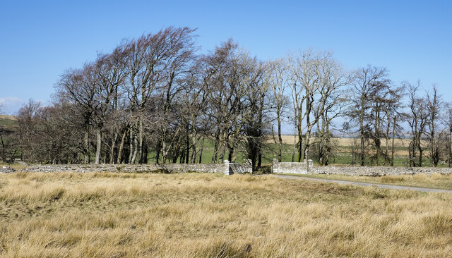
The area is also steeped in history, with ancient stone circles and burial mounds dotting the moor. These remnants of the past provide a glimpse into the lives of the people who once inhabited the region. Additionally, Cote Moor is a popular destination for hikers and nature enthusiasts, offering a network of footpaths and trails that allow visitors to explore its natural wonders.

Overall, Cote Moor in Westmorland is a captivating and diverse landscape that showcases the beauty of England's countryside, making it a must-visit destination for those seeking tranquility and natural beauty.

If you have any feedback on the listing, please let us know in the comments section below.
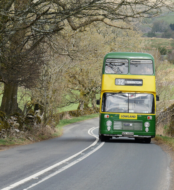
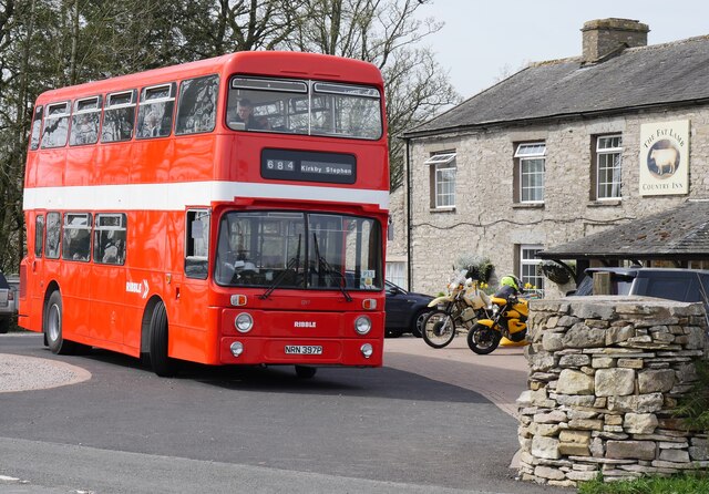
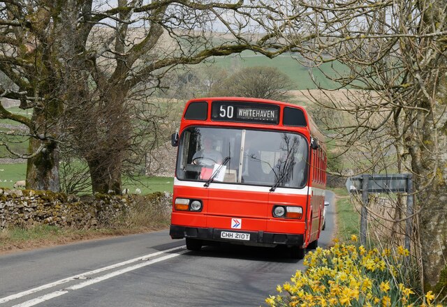
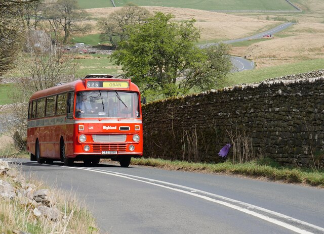
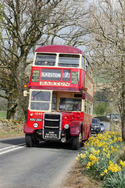
Cote Moor Images

Images are sourced within 2km of 54.407563/-2.4057477 or Grid Reference NY7301. Thanks to Geograph Open Source API. All images are credited.

Twin cairns, Fell End Clouds The shattered limestone of the Clouds contrasts sharply with the grassy flanks of the Howgill Fells beyond. Since 2016 everything in this area has been incorporated into the Yorkshire Dales National Park.
Twin cairns, Fell End Clouds
The shattered limestone of the Clouds contrasts sharply with the grassy flanks of the Howgill Fells beyond. Since 2016 everything in this area has been incorporated into the Yorkshire Dales National Park.
Barn below Harter Fell The steep flank of the fell is scored by the Five Gills.
Barn below Harter Fell
The steep flank of the fell is scored by the Five Gills.
Limestone pavements, Fell End Clouds The Clouds contain areas of pavement that contrast greatly with the smooth, grassy slopes of the adjacent Howgill Fells.
Limestone pavements, Fell End Clouds
The Clouds contain areas of pavement that contrast greatly with the smooth, grassy slopes of the adjacent Howgill Fells.
Great Scar limestone
Cairn on Fell End Clouds
A683 at Sandbed
A683 at Sandbed
Lime kiln 1 There are two lime kilns situated above the road and below Fell End Clouds. This is the left hand one as seen from below.
Lime kiln 1
There are two lime kilns situated above the road and below Fell End Clouds. This is the left hand one as seen from below.
Lime kiln 2 This kiln is at a similar level and around 100m to the right of lime kiln 1. Neither appear to have a quarry nearby, unless hidden in a fold of the fellside, but there was probably enough loose limestone available for burning nearby. Being close to a road, there would be transport away to 'sweeten' the ground across the valley on the acid soils of the Howgills.
Lime kiln 2
This kiln is at a similar level and around 100m to the right of lime kiln 1. Neither appear to have a quarry nearby, unless hidden in a fold of the fellside, but there was probably enough loose limestone available for burning nearby. Being close to a road, there would be transport away to 'sweeten' the ground across the valley on the acid soils of the Howgills.
Rocks under snow Above Fell End Clouds.
Rocks under snow
Above Fell End Clouds.
The Fat Lamb
The Fat Lamb
Gated entry to property at Ellergill Ellergill is a farm lying to the west of the A683. The wall with its gateway lies beyond a small area of moorland which is classified as access land under the year 2000 CROW Act.
Gated entry to property at Ellergill
Ellergill is a farm lying to the west of the A683. The wall with its gateway lies beyond a small area of moorland which is classified as access land under the year 2000 CROW Act.
Group of trees beside A683 The farmland surrounding the trees lies north of the farm at Studfold. The hill slopes above rise to Harter Fell.
Group of trees beside A683
The farmland surrounding the trees lies north of the farm at Studfold. The hill slopes above rise to Harter Fell.
Lowland Bristol VRT on the A683 approaching the Fat Lamb Country Inn This image was captured on the regular Cumbria Easter Rally service to the Fat Lamb Country Inn near Ravenstonedale.  As shown on the destination screen, Swinton is a village in Berwickshire, Scottish Borders.

This photograph was taken during the Coronavirus (COVID-19) pandemic of 2020/21/22.
Lowland Bristol VRT on the A683 approaching the Fat Lamb Country Inn
This image was captured on the regular Cumbria Easter Rally service to the Fat Lamb Country Inn near Ravenstonedale. As shown on the destination screen, Swinton is a village in Berwickshire, Scottish Borders. This photograph was taken during the Coronavirus (COVID-19) pandemic of 2020/21/22.
Leyland Atlantean at the Fat Lamb Country Inn A Leyland Atlantean in Ribble National Bus Company (NBC) livery at the Fat Lamb Country Inn.

This photograph was taken during the Coronavirus (COVID-19) pandemic of 2020/21/22.
Leyland Atlantean at the Fat Lamb Country Inn
A Leyland Atlantean in Ribble National Bus Company (NBC) livery at the Fat Lamb Country Inn. This photograph was taken during the Coronavirus (COVID-19) pandemic of 2020/21/22.
Leyland National approaching the Fat Lamb Country Inn New to Cumberland Motor Services in April 1979 and originally working out of Workington depot, it is now under the care of Workington Transport Heritage Trust.

This photograph was taken during the Coronavirus (COVID-19) pandemic of 2020/21/22.
Leyland National approaching the Fat Lamb Country Inn
New to Cumberland Motor Services in April 1979 and originally working out of Workington depot, it is now under the care of Workington Transport Heritage Trust. This photograph was taken during the Coronavirus (COVID-19) pandemic of 2020/21/22.
Leopard on Egdale Lane A Leyland Leopard in Highland Scottish livery powers up the incline to the Fat Lamb Country Inn near Ravenstonedale.

This photograph was taken during the Coronavirus (COVID-19) pandemic of 2020/21/22.
Leopard on Egdale Lane
A Leyland Leopard in Highland Scottish livery powers up the incline to the Fat Lamb Country Inn near Ravenstonedale. This photograph was taken during the Coronavirus (COVID-19) pandemic of 2020/21/22.
Leyland RT nearing the Fat Lamb Country Inn A Park-bodied Leyland RT approaching the Fat Lamb Country Inn at the terminus of services from Brough during the Cumbria Easter Rally 2022.

This photograph was taken during the Coronavirus (COVID-19) pandemic of 2020/21/22.
Leyland RT nearing the Fat Lamb Country Inn
A Park-bodied Leyland RT approaching the Fat Lamb Country Inn at the terminus of services from Brough during the Cumbria Easter Rally 2022. This photograph was taken during the Coronavirus (COVID-19) pandemic of 2020/21/22.
A pastoral scene by Egdale Lane Despite a slight haze, a beautiful morning in the Eden Valley.

This photograph was taken during the Coronavirus (COVID-19) pandemic of 2020/21/22.
A pastoral scene by Egdale Lane
Despite a slight haze, a beautiful morning in the Eden Valley. This photograph was taken during the Coronavirus (COVID-19) pandemic of 2020/21/22.
Show me another place!

Cote Moor is located at Grid Ref: NY7301 (Lat: 54.407563, Lng: -2.4057477)

Administrative County: Cumbria

District: Eden

Police Authority: Cumbria

What 3 Words

///handwriting.tablet.placidly. Near Kirkby Stephen, Cumbria

Nearby Locations

Cote Moor

Related Wikis

Ravenstonedale

Ravenstonedale is a village and large civil parish in Cumbria, on the watershed between the River Lune and River Eden. The village lies 4 miles (6 km)...

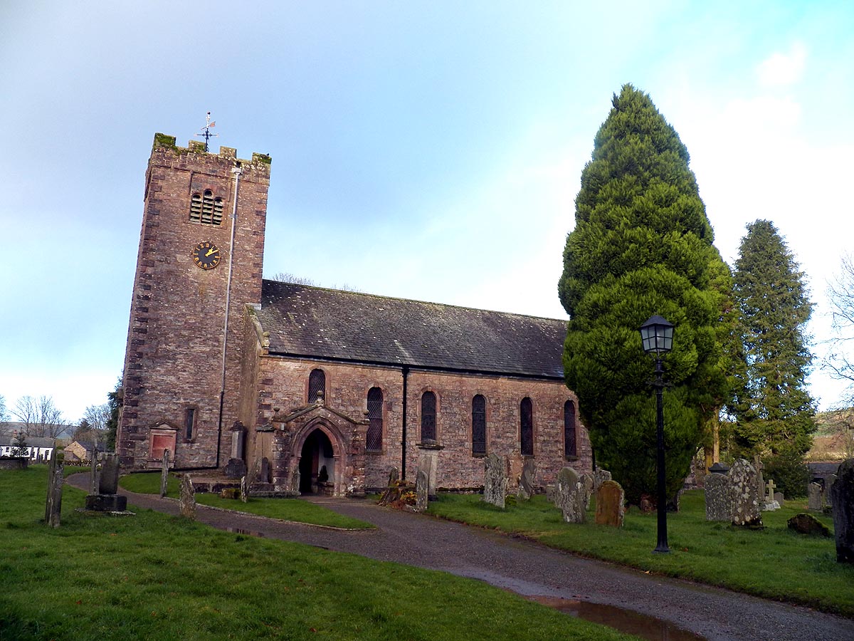
St Oswald's Church, Ravenstonedale

St Oswald's Church is in the village of Ravenstonedale, Cumbria, England. It is an active Anglican parish church in the deanery of Appleby, the archdeaconry...

Ravenstonedale Priory

Ravenstonedale Priory was a Gilbertine priory in Cumbria, England. It was founded in the reign of Henry II, when Torphin, son of Robert, son of Copsus...
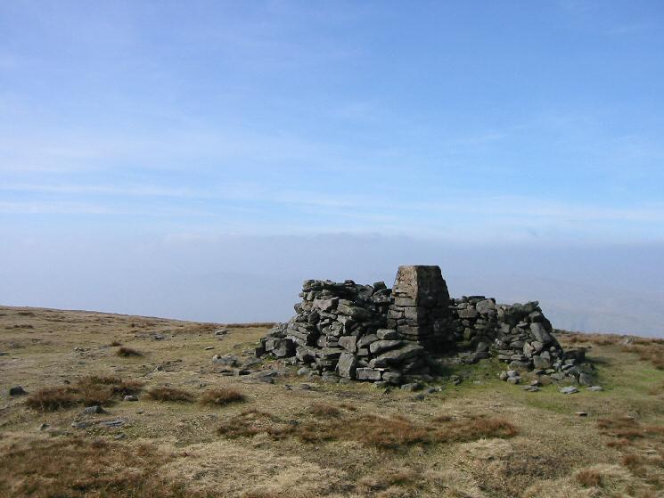
Wild Boar Fell

Wild Boar Fell is a mountain in the Yorkshire Dales National Park, on the eastern edge of Cumbria, England. At 2,323 feet (708 m), it is either the 4th...

Nearby Amenities

Located within 500m of 54.407563,-2.4057477
Give Way
Direction: backward
Lat/Long: 54.4090719/-2.4052238
Mounting Block
Lat/Long: 54.4085111/-2.4057949
Give Way
Direction: forward
Lat/Long: 54.4085407/-2.4057086
Give Way
Direction: forward
Lat/Long: 54.4073732/-2.406482
The data included in this document is from www.openstreetmap.org. The data is made available under ODbL.

Have you been to Cote Moor?

Leave your review of Cote Moor below (or comments, questions and feedback).