Hardington Park
Downs, Moorland in Somerset Mendip
England
Hardington Park
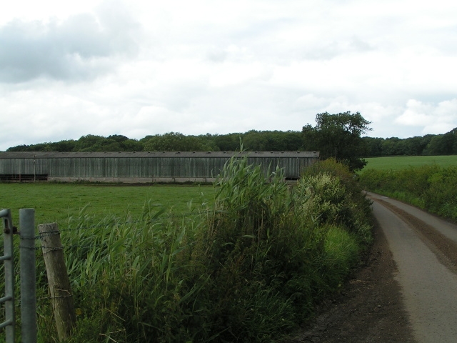
Hardington Park is a picturesque rural area located in Somerset, England. Situated amidst the rolling Downs and Moorland, this stunning landscape offers a diverse range of natural beauty and recreational activities for visitors to enjoy.
Covering a vast area of approximately 500 acres, Hardington Park is characterized by its undulating hills, expansive meadows, and lush woodlands. The Downs provide panoramic views of the surrounding countryside, showcasing the patchwork of fields, hedgerows, and quaint villages that make up the region. The Moorland, on the other hand, offers a rugged and wild terrain, with heather-covered hills and rocky outcrops providing a striking contrast to the gentle slopes of the Downs.
The park is home to a rich variety of wildlife, including numerous bird species, mammals, and reptiles. Birdwatchers can spot species such as skylarks, kestrels, and buzzards, while nature enthusiasts may come across rabbits, foxes, and even the occasional deer. The diverse habitats within the park make it a haven for biodiversity, with rare plants and flowers adding to its natural appeal.
Visitors to Hardington Park can explore the numerous walking trails and bridleways that crisscross the landscape, offering opportunities for leisurely strolls or more challenging hikes. Cyclists can also enjoy the park, with designated routes catering to both casual riders and more experienced cyclists.
Hardington Park is a true gem in the heart of Somerset, offering a tranquil escape from the hustle and bustle of everyday life. Whether it's for a peaceful walk, a family picnic, or simply to admire the stunning countryside, this natural oasis has something to offer everyone.
If you have any feedback on the listing, please let us know in the comments section below.
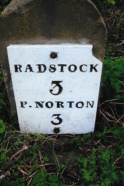
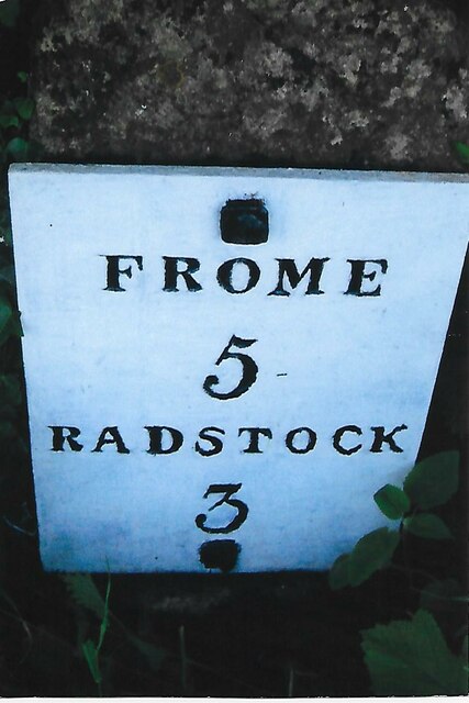
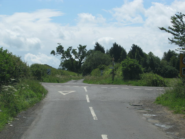
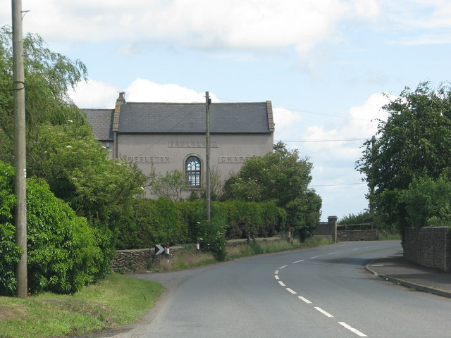
Hardington Park Images
Images are sourced within 2km of 51.275385/-2.3771258 or Grid Reference ST7352. Thanks to Geograph Open Source API. All images are credited.


Hardington Park is located at Grid Ref: ST7352 (Lat: 51.275385, Lng: -2.3771258)
Administrative County: Somerset
District: Mendip
Police Authority: Avon and Somerset
What 3 Words
///bluffs.sonic.tweaked. Near Wellow, Somerset
Nearby Locations
Related Wikis

Hemington, Somerset
Hemington is a village and civil parish 5.5 miles (8.9 km) north west of Frome, in the Mendip district of Somerset, England. It is located just off the...
St Mary's Church, Hemington
St. Mary's Hemington is an Anglican church in Hemington, Somerset, England. The Norman church underwent major renovation in the 14th, 15th, 17th and 19th...

Kingsdown Camp
Kingsdown Camp is an Iron Age hillfort at Buckland Dinham 4.5 kilometres (3 mi) South East of Radstock, Somerset, England. It is a Scheduled Monument.It...

Buckland Dinham
Buckland Dinham is a small village near Frome in Somerset, England. The village has a population of 381. The village's main industry is farming (arable...

Ammerdown House, Kilmersdon
Ammerdown House in Kilmersdon, Somerset, England, was built in 1788. It has been designated as Grade I listed building.It was built as a country house...
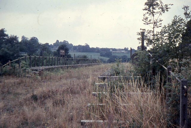
Mells Road railway station
Mells Road railway station served the village of Mells, Somerset, England from 1875 to 1959 linking Radstock to Frome, Somerset on the Heart of Wessex...
Shoscombe and Single Hill Halt railway station
Shoscombe & Single Hill Halt was a small railway station on the Somerset and Dorset Joint Railway serving small villages between Wellow and Radstock, about...

Church of St James The Less, Foxcote
The Anglican Church of St James The Less in Foxcote, within the English county of Somerset, was rebuilt in the early 18th century incorporating a 15th...
Nearby Amenities
Located within 500m of 51.275385,-2.3771258Have you been to Hardington Park?
Leave your review of Hardington Park below (or comments, questions and feedback).