Harrop Fell
Downs, Moorland in Yorkshire Ribble Valley
England
Harrop Fell
The requested URL returned error: 429 Too Many Requests
If you have any feedback on the listing, please let us know in the comments section below.
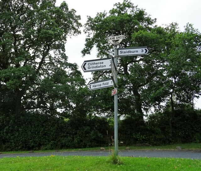
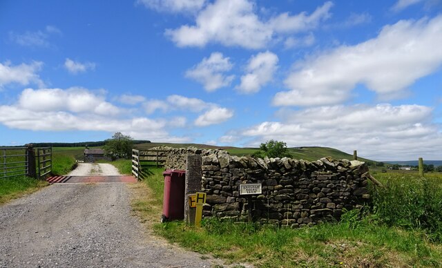
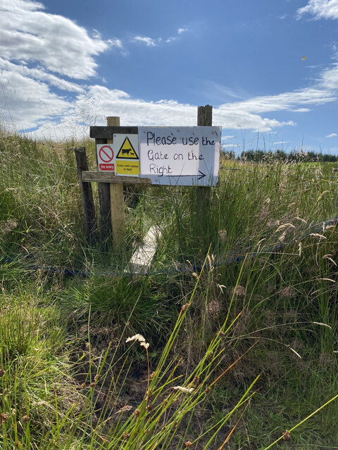
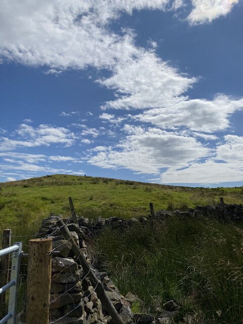
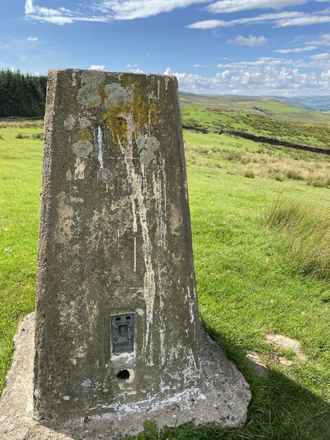
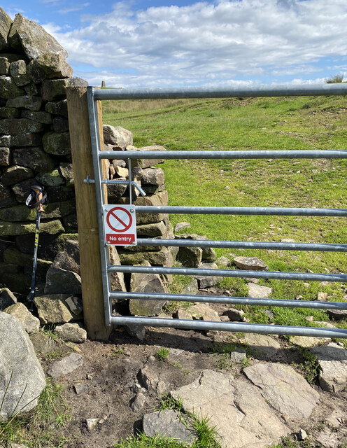
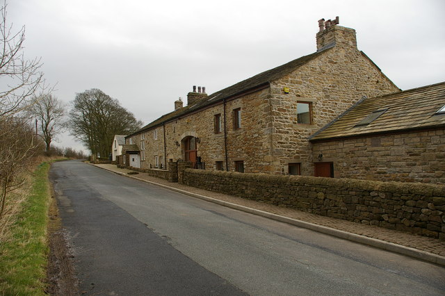
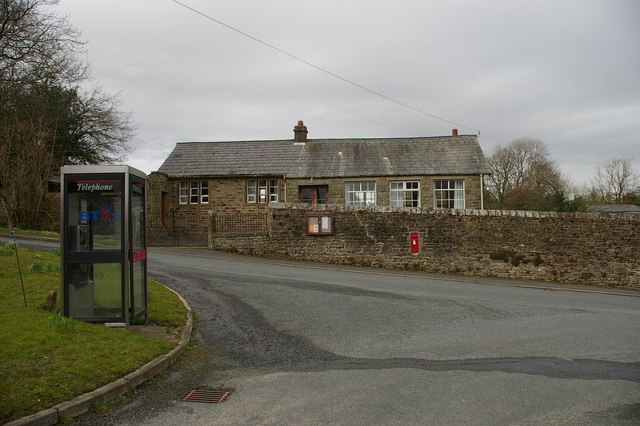
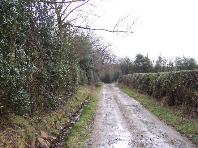
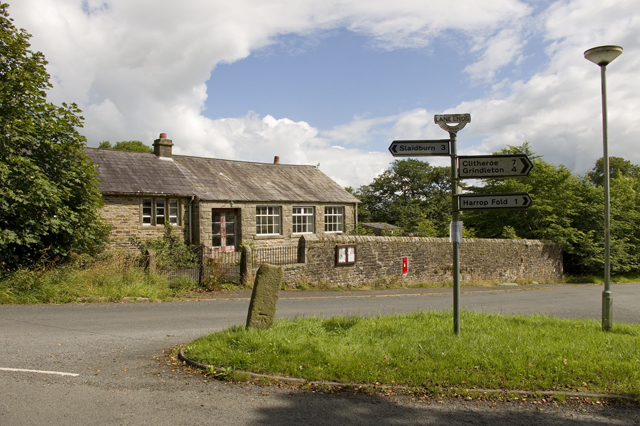
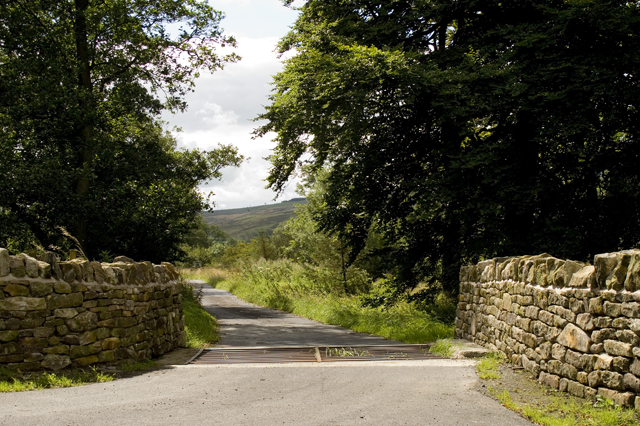
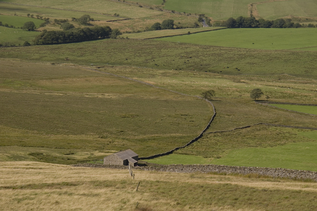
Harrop Fell Images
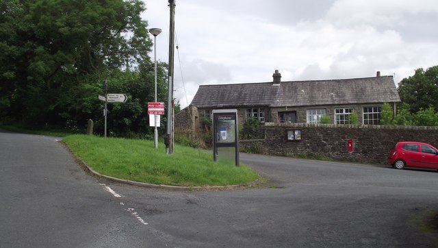
Images are sourced within 2km of 53.937375/-2.4003923 or Grid Reference SD7349. Thanks to Geograph Open Source API. All images are credited.


Harrop Fell is located at Grid Ref: SD7349 (Lat: 53.937375, Lng: -2.4003923)
Division: West Riding
Administrative County: Lancashire
District: Ribble Valley
Police Authority: Lancashire
What 3 Words
///congested.ants.thick. Near Waddington, Lancashire
Nearby Locations
Related Wikis

Easington Fell
Easington Fell is a Marilyn in the Forest of Bowland in Lancashire, England. It has been surveyed to be 70 cm higher than a nearby fell of almost identical...

Slaidburn
Slaidburn () is a village and civil parish within the Ribble Valley district of Lancashire, England. The parish covers just over 5,000 acres of the Forest...

Grindleton
Grindleton is a village and civil parish in the Ribble Valley district of the English county of Lancashire, formerly in the West Riding of Yorkshire. Its...

Grindletonians
The Grindletonians were a Puritan sect that arose in the town of Grindleton in Lancashire, England, in around 1610. The sect remained active in the North...
Have you been to Harrop Fell?
Leave your review of Harrop Fell below (or comments, questions and feedback).