Willyshaw Moss

Downs, Moorland in Northumberland

England

Willyshaw Moss

Long Cross
Long Cross Credit: Mike Quinn

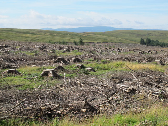
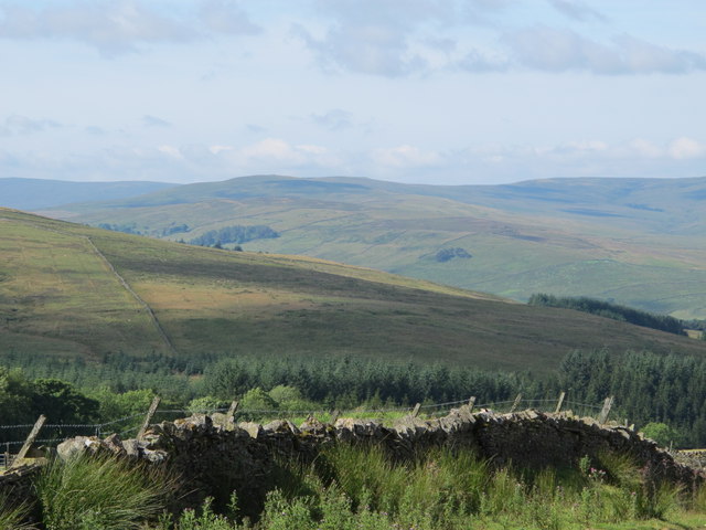
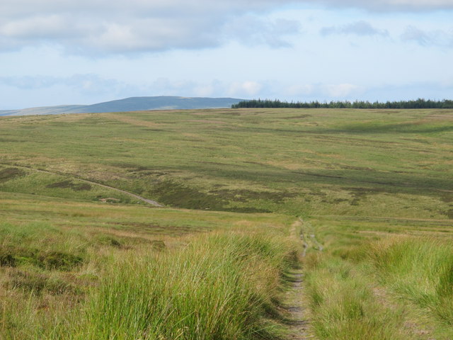
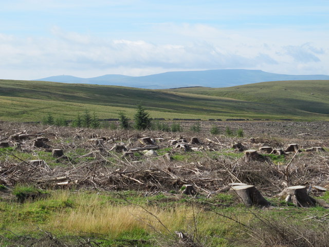
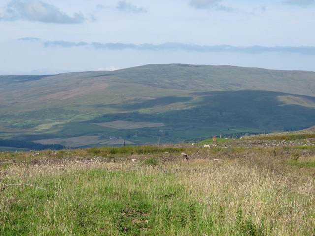
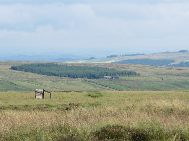
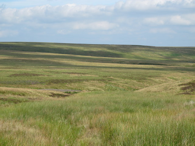
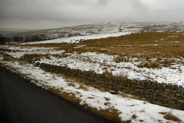
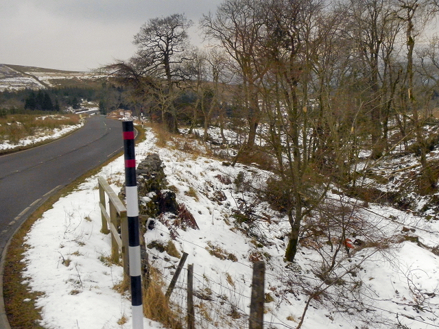
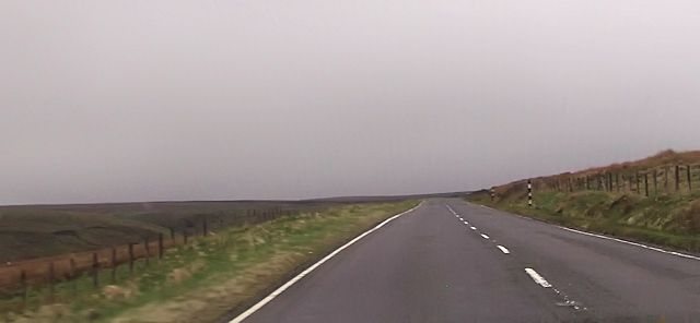
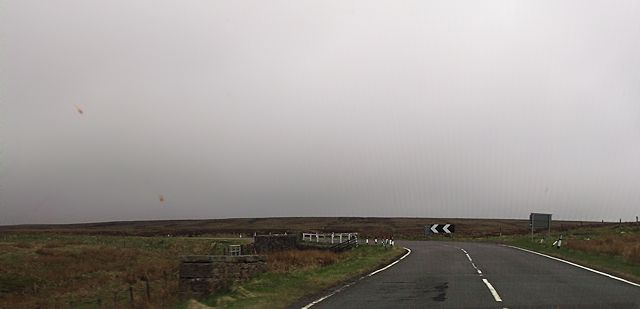
Willyshaw Moss is a region situated in Northumberland, a county located in the northeastern part of England. It encompasses a vast area of downs and moorland, offering a picturesque and tranquil setting for nature enthusiasts and outdoor adventurers alike. The region is renowned for its stunning natural beauty, characterized by rolling hills, heather-covered moors, and expansive open spaces.

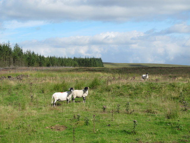
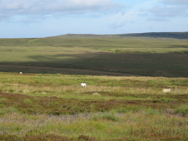
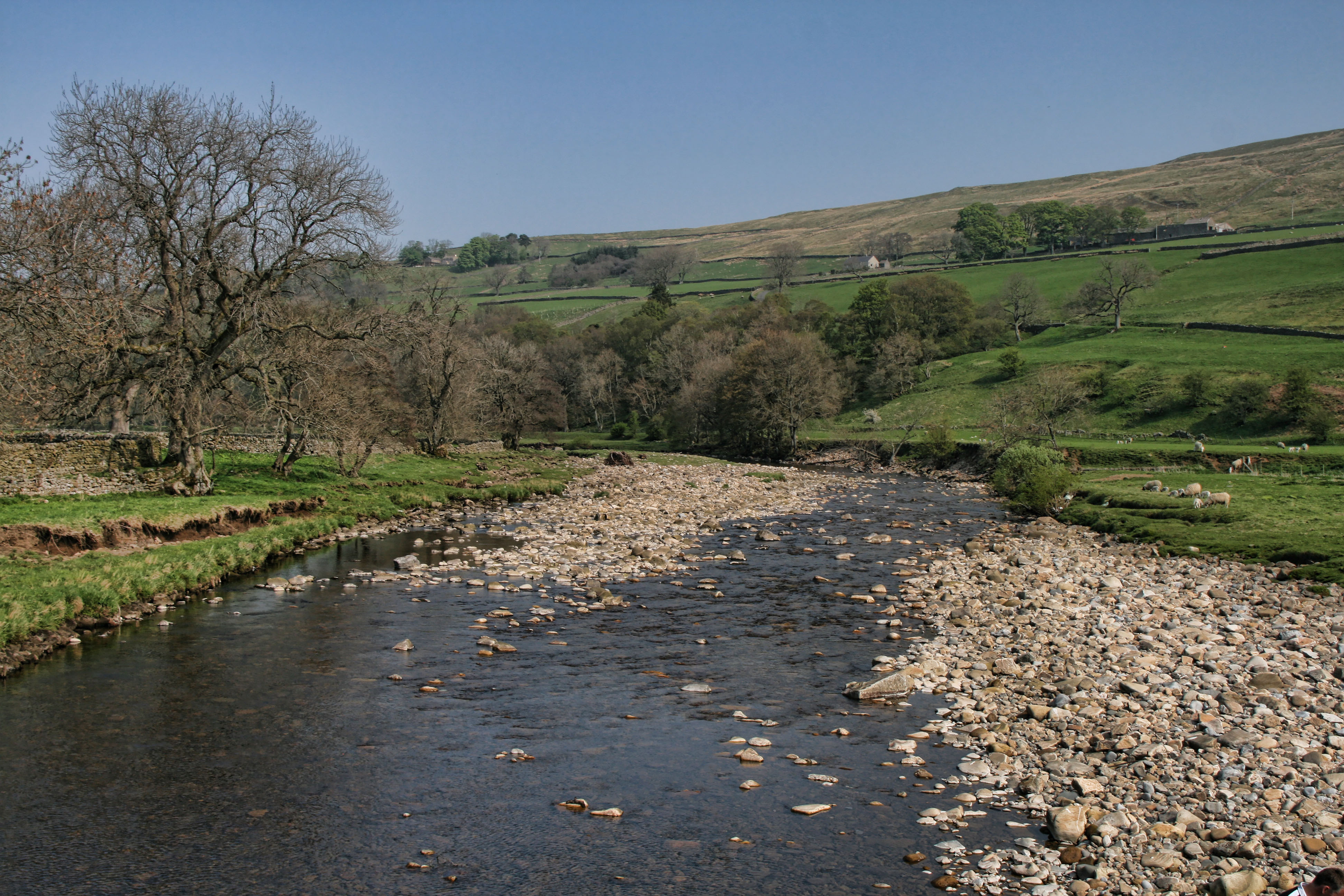
Willyshaw Moss is a haven for wildlife, with an abundance of bird species, including buzzards, curlews, and lapwings, making it a popular destination for birdwatchers. The moss itself is a wetland area, home to various species of rare plants and flowers, creating a unique ecosystem that supports a diverse range of wildlife.

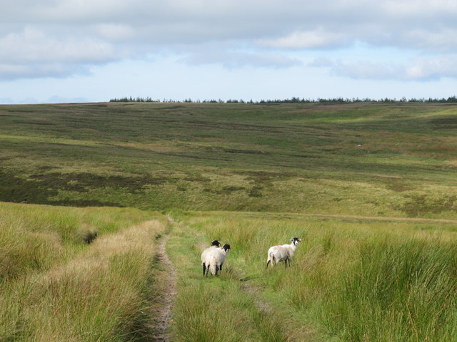
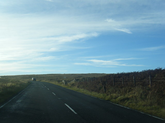
The downs in Willyshaw Moss are ideal for hiking and walking, with numerous trails and pathways winding through the undulating landscape. Visitors can explore the area on foot and marvel at the breathtaking views, while also taking in the fresh air and tranquility that the region has to offer.

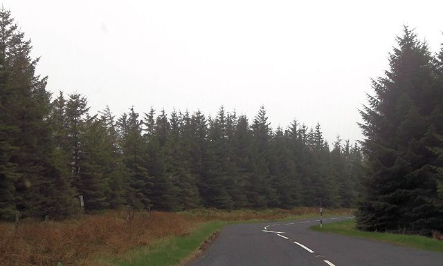
Moorland areas in Willyshaw Moss are characterized by their rugged beauty, with vast expanses of heather-clad hills and rocky outcrops. These moors provide a habitat for a variety of wildlife, including deer, foxes, and even the occasional otter.

For those seeking a peaceful retreat amidst nature, Willyshaw Moss is the perfect destination. Its unspoiled landscapes and diverse wildlife make it a must-visit location for anyone looking to experience the natural wonders of Northumberland.

If you have any feedback on the listing, please let us know in the comments section below.

Willyshaw Moss Images

Images are sourced within 2km of 54.861018/-2.4109288 or Grid Reference NY7351. Thanks to Geograph Open Source API. All images are credited.

Long Cross
Long Cross
Felled plantation west of Long Cross Looking towards Great Dun Fell, Little Dun Fell and Cross Fell on the far horizon.
Felled plantation west of Long Cross
Looking towards Great Dun Fell, Little Dun Fell and Cross Fell on the far horizon.
View across Clargillhead
White Hill and the cleugh of Sandyford Sike
Ouston Fell above Hareshaw Cleugh Looking towards <a href="https://www.geograph.org.uk/photo/286178">NY7253 : Whitfield Law</a> (photographed by Andrew Smith).
Ouston Fell above Hareshaw Cleugh
Looking towards NY7253 : Whitfield Law (photographed by Andrew Smith).
Ouston Fell around Sandy Ford
Gatepost at Long Cross The path from Clargillhead to West Allendale via Long Cross is part of Isaac's Tea Trail <span class="nowrap"><a title="http://www.northumberlandlife.org/teatrail/default.asp" rel="nofollow ugc noopener" href="http://www.northumberlandlife.org/teatrail/default.asp">Link</a><img style="margin-left:2px;" alt="External link" title="External link - shift click to open in new window" src="https://s1.geograph.org.uk/img/external.png" width="10" height="10"/></span>.
Gatepost at Long Cross
The path from Clargillhead to West Allendale via Long Cross is part of Isaac's Tea Trail LinkExternal link.
Felled plantation west of Long Cross (2) Looking towards Great Dun Fell, Little Dun Fell and Cross Fell.
Felled plantation west of Long Cross (2)
Looking towards Great Dun Fell, Little Dun Fell and Cross Fell.
Moorland and felled plantation above Clargillhead Looking across the valley of the River South Tyne towards Grey Nag in <a href="https://www.geograph.org.uk/gridref/NY6647">NY6647</a>.
Moorland and felled plantation above Clargillhead
Looking across the valley of the River South Tyne towards Grey Nag in NY6647.
Ouston Fell west of Sandy Ford Looking across the valley of Whitewalls Burn towards Herd's House and the square-shaped plantation beyond in <a href="https://www.geograph.org.uk/gridref/NY7652">NY7652</a>.
Ouston Fell west of Sandy Ford
Looking across the valley of Whitewalls Burn towards Herd's House and the square-shaped plantation beyond in NY7652.
Ouston Fell north of White Hill
A686, Whitfield Moor Travelling south from Haydon Bridge to Alston along the A686. This is still in Northumberland; the border with Cumbria is about a mile ahead.
A686, Whitfield Moor
Travelling south from Haydon Bridge to Alston along the A686. This is still in Northumberland; the border with Cumbria is about a mile ahead.
Ayle Common Looking to the west from the A686 over Alston Moor.
Ayle Common
Looking to the west from the A686 over Alston Moor.
A686, Alston Moor
A686, Alston Moor
Straight road south of Round Hill
Sharp bend on A686 on Whitfield Moor The bridge on the bend crosses a stream
Sharp bend on A686 on Whitfield Moor
The bridge on the bend crosses a stream
A686 through the plantation near Moscow
A686 below Whitfield Moor
Show me another place!

Willyshaw Moss is located at Grid Ref: NY7351 (Lat: 54.861018, Lng: -2.4109288)

Unitary Authority: Northumberland

Police Authority: Northumbria

What 3 Words

///bronzed.named.obstinate. Near Alston, Cumbria

Nearby Locations

Willyshaw Moss

Related Wikis

Ayle

Ayle is a village in Northumberland, England, situated to the north of Alston. There are six residences in the hamlet. == Governance == Ayle is in the...

Ouston, Ninebanks

Ouston is a small settlement in south west Northumberland, England in the North Pennines Area of Outstanding Natural Beauty 8 miles (13 km) north-east...

Kirkhaugh

Kirkhaugh is a very small village and former civil parish, now in the parish of Knaresdale with Kirkhaugh, adjacent to the River South Tyne in Northumberland...

South Tynedale Railway

The South Tynedale Railway is a preserved, 2 ft (610 mm) narrow gauge heritage railway in Northern England and at 875ft is England's second highest narrow...

Nearby Amenities

Located within 500m of 54.861018,-2.4109288
Willyshaw Moss
Natural: wetland
Source: OS_OpenData_StreetView
Wetland: bog
Lat/Long: 54.8626045/-2.4122286
The data included in this document is from www.openstreetmap.org. The data is made available under ODbL.

Have you been to Willyshaw Moss?

Leave your review of Willyshaw Moss below (or comments, questions and feedback).