West Close Pasture
Downs, Moorland in Yorkshire Craven
England
West Close Pasture
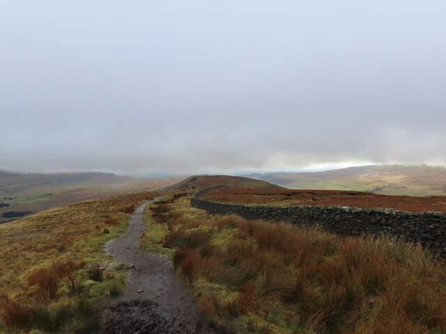
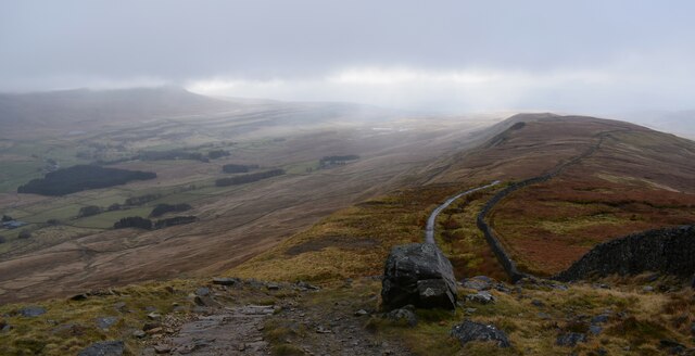
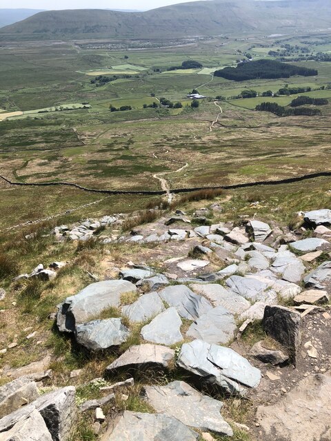
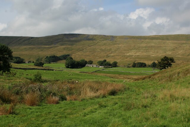
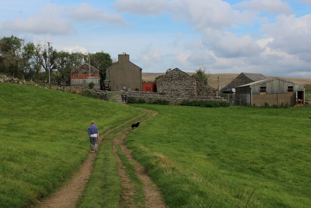
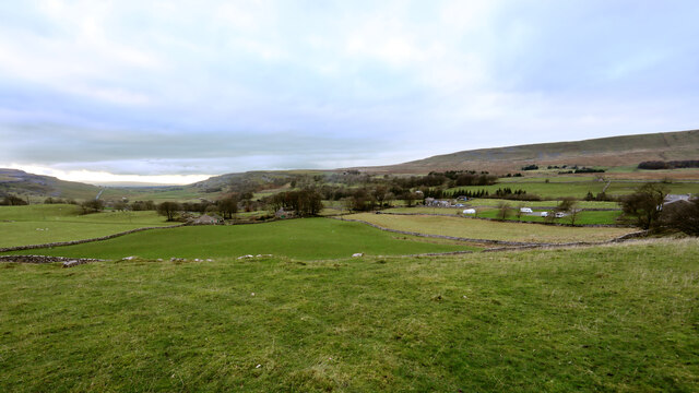
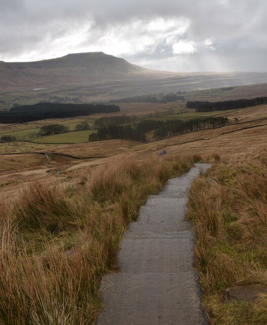
West Close Pasture is a picturesque and expansive area located in the county of Yorkshire, England. Situated amidst the stunning Yorkshire Downs and Moorland, it covers a vast stretch of land spreading over several miles. The area is renowned for its breathtaking natural beauty, with rolling hills, verdant meadows, and spectacular views that attract visitors from far and wide.
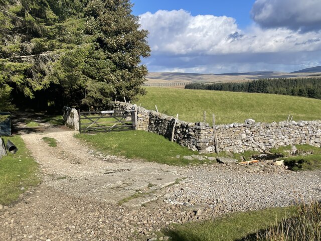
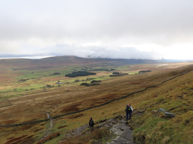
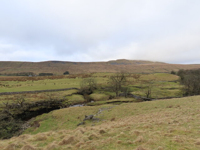
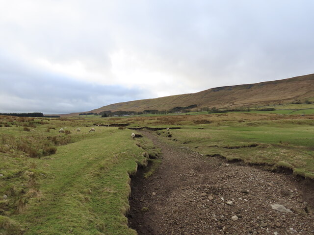
The landscape of West Close Pasture is characterized by its rugged terrain, scattered with rocky outcrops and heather-covered moors. It offers a diverse range of habitats, including woodlands, grasslands, and wetlands, which support a rich variety of plant and animal species. The pastures are home to a range of wildlife, including various species of birds, mammals, and insects, making it a haven for nature enthusiasts and birdwatchers.
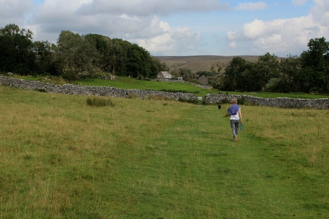
Visitors to West Close Pasture can enjoy a multitude of outdoor activities, including hiking, cycling, and picnicking amidst the serene surroundings. The area also offers several designated walking trails, providing opportunities to explore its natural wonders and discover hidden gems along the way.
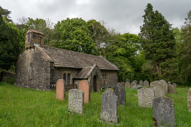
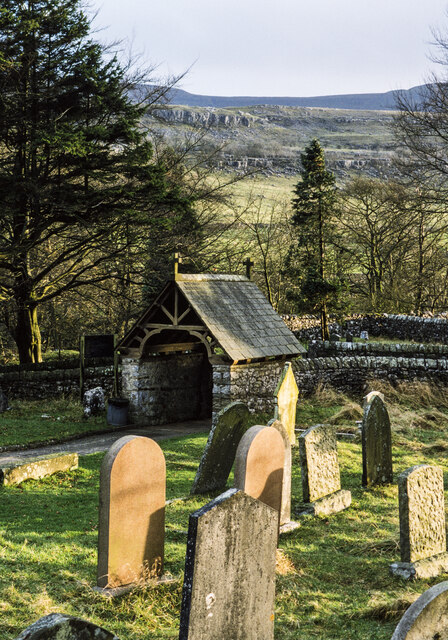
West Close Pasture holds historical significance, with traces of ancient settlements and archaeological sites scattered throughout the area. These remnants serve as a testament to the rich cultural heritage of the region.
Overall, West Close Pasture in Yorkshire is a captivating destination that showcases the breathtaking beauty of the Yorkshire Downs and Moorland. Its diverse landscapes, abundant wildlife, and historical significance make it a true gem for nature lovers and history enthusiasts alike.
If you have any feedback on the listing, please let us know in the comments section below.
West Close Pasture Images
Images are sourced within 2km of 54.207117/-2.4095291 or Grid Reference SD7379. Thanks to Geograph Open Source API. All images are credited.

West Close Pasture is located at Grid Ref: SD7379 (Lat: 54.207117, Lng: -2.4095291)
Division: West Riding
Administrative County: North Yorkshire
District: Craven
Police Authority: North Yorkshire
What 3 Words
///masterful.thrones.pops. Near Ingleton, North Yorkshire
Nearby Locations
Related Wikis
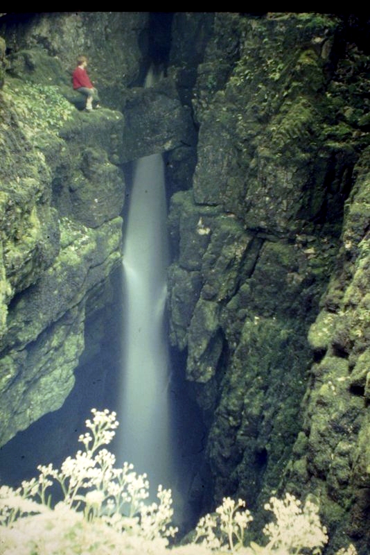
Weathercote Cave
Weathercote Cave is a natural solutional cave in Chapel-le-Dale, North Yorkshire, England. It has been renowned as a natural curiosity since the eighteenth...

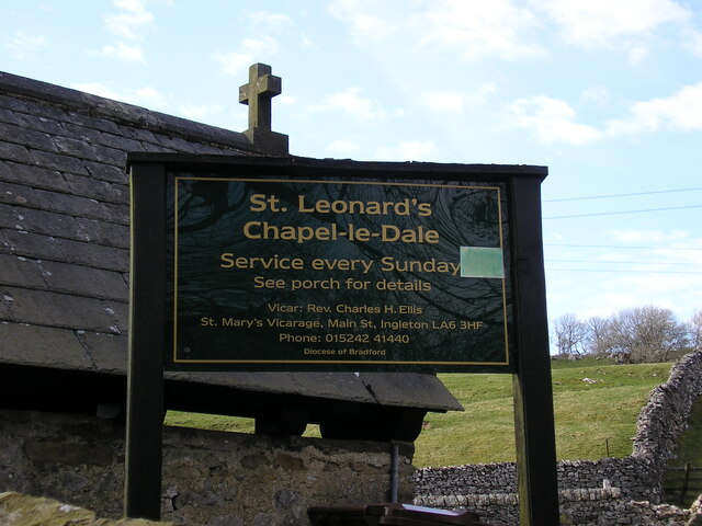
Chapel-le-Dale (valley)
Chapel-le-Dale is west-facing valley in the Yorkshire Dales, England. The U-shaped valley of Chapel-le-Dale is one of the few which drain westwards towards...

Chapel-le-Dale
Chapel-le-Dale is a hamlet in the civil parish of Ingleton, North Yorkshire, England. It is in the Yorkshire Dales National Park in a valley of the same...

Whernside
Whernside is a mountain in the Yorkshire Dales in Northern England. It is the highest of the Yorkshire Three Peaks, the other two being Ingleborough and...
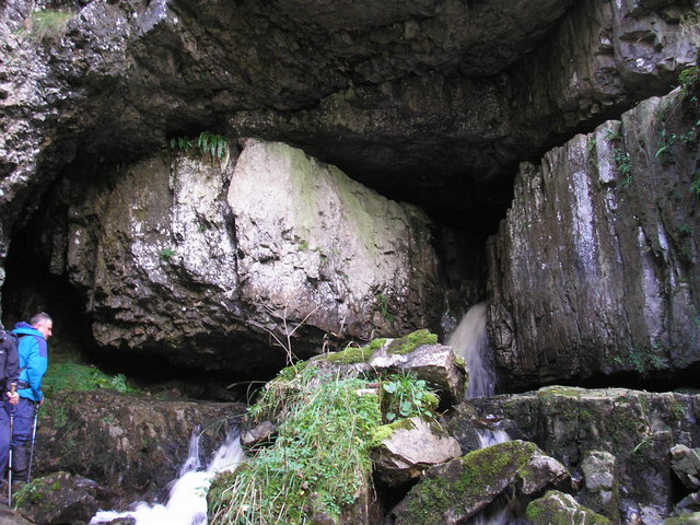
Great Douk Cave
Great Douk Cave is a shallow cave system lying beneath the limestone bench of Ingleborough in Chapel-le-Dale, North Yorkshire, England. It is popular with...
Thornton in Lonsdale
Thornton in Lonsdale is a village and civil parish in the Craven District and ceremonial county of North Yorkshire in England. It is very close to the...

Ribblehead Viaduct
The Ribblehead Viaduct or Batty Moss Viaduct carries the Settle–Carlisle railway across Batty Moss in the Ribble Valley at Ribblehead, in North Yorkshire...

Yordas Cave
Yordas Cave is a solutional cave in Kingsdale, North Yorkshire, England. It has been renowned since the eighteenth century as a natural curiosity, and...
Nearby Amenities
Located within 500m of 54.207117,-2.4095291Have you been to West Close Pasture?
Leave your review of West Close Pasture below (or comments, questions and feedback).