Sand Beds Head Pike
Hill, Mountain in Yorkshire Craven
England
Sand Beds Head Pike
Sand Beds Head Pike is a prominent hill located in the county of Yorkshire, England. Rising to an elevation of approximately 427 meters (1,401 feet), it is a prominent feature within the Yorkshire Dales National Park. The hill is situated in the northern region of the park, near the village of Horton-in-Ribblesdale.
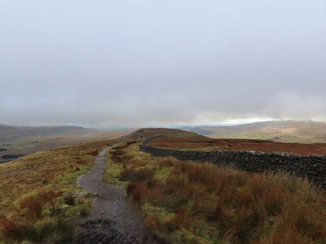
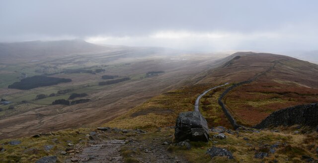
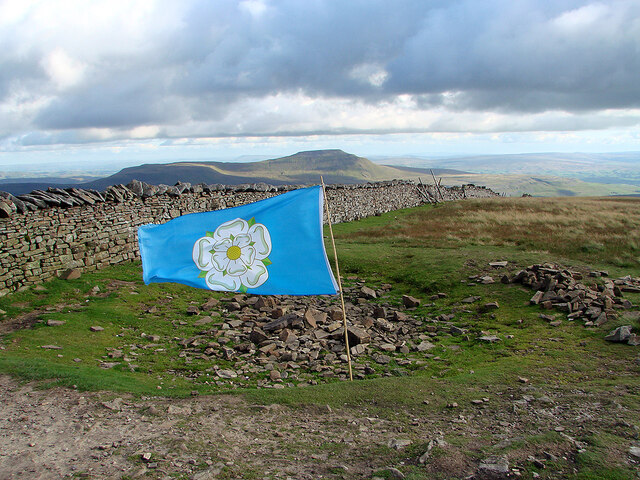
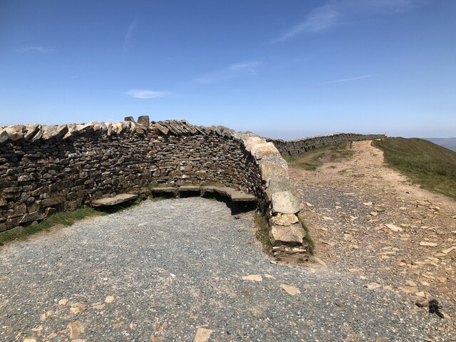
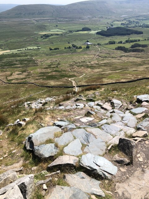
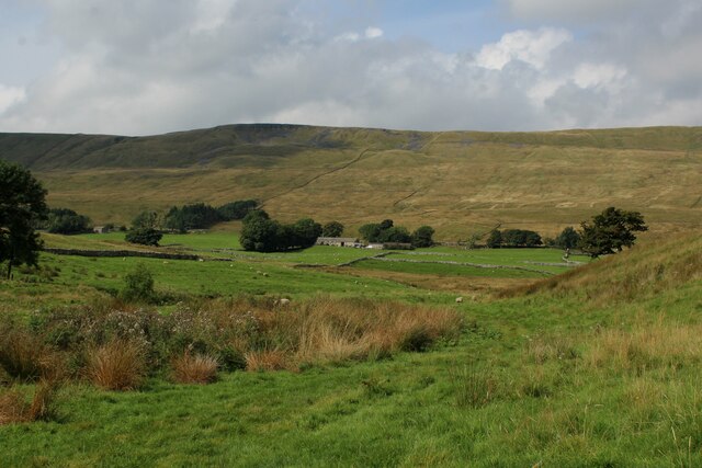
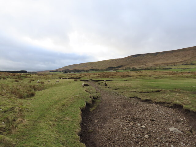
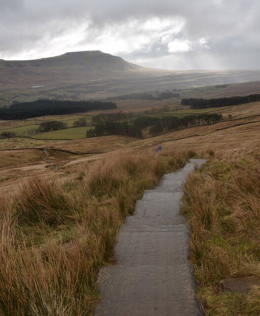
Sand Beds Head Pike is characterized by its distinct conical shape, which is often associated with the term "pike" in Yorkshire. It is primarily composed of sandstone, giving it a unique appearance compared to the surrounding limestone hills. The hill offers breathtaking panoramic views of the picturesque Yorkshire Dales, with its summit providing a vantage point to admire the rolling green valleys, meandering rivers, and imposing peaks that define the region.
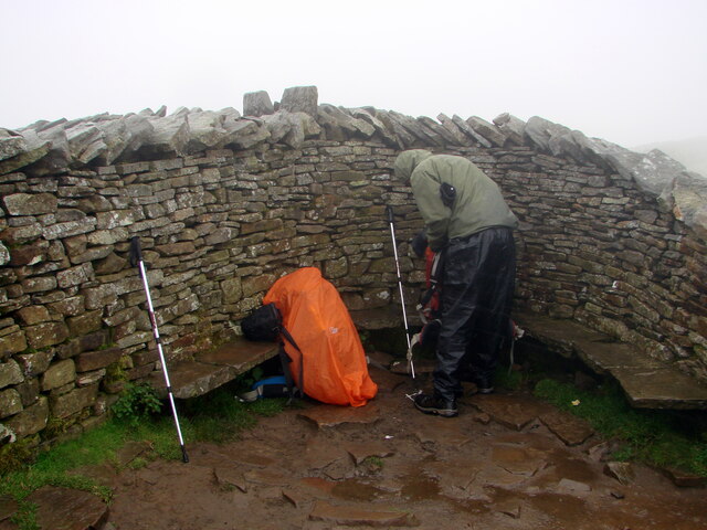
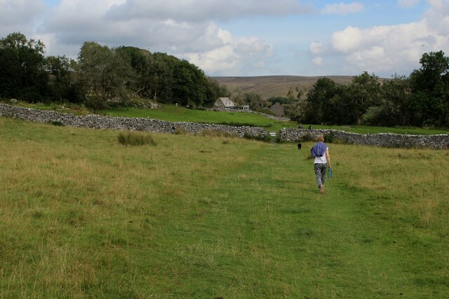
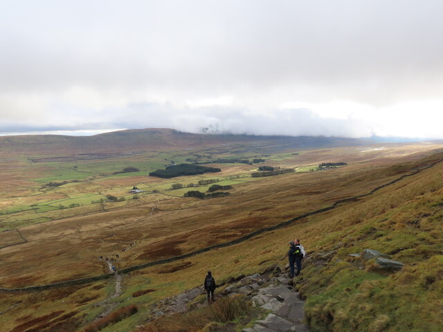
The area around Sand Beds Head Pike is popular among hikers, mountaineers, and nature enthusiasts, who are drawn to its challenging yet rewarding trails. The hill can be accessed via several footpaths, including the Pennine Way, a long-distance trail that passes through the area. The ascent to the summit involves steep sections, but the effort is well worth it for the magnificent vistas that await.
Aside from its natural beauty, Sand Beds Head Pike also holds historical significance. It is said to have been a strategic vantage point during medieval times, providing a lookout over the Ribblesdale valley. Today, the hill continues to captivate visitors with its rugged charm, offering a chance to immerse oneself in the stunning landscapes and rich heritage of Yorkshire's countryside.
If you have any feedback on the listing, please let us know in the comments section below.
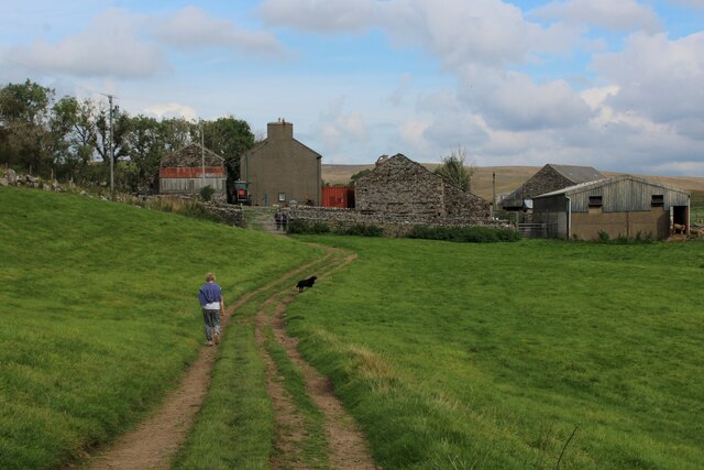
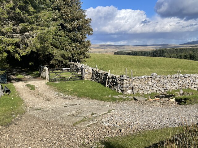
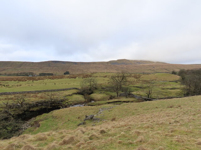
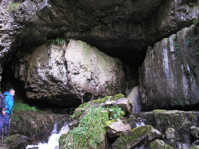
Sand Beds Head Pike Images
Images are sourced within 2km of 54.211968/-2.4153577 or Grid Reference SD7379. Thanks to Geograph Open Source API. All images are credited.


Sand Beds Head Pike is located at Grid Ref: SD7379 (Lat: 54.211968, Lng: -2.4153577)
Division: West Riding
Administrative County: North Yorkshire
District: Craven
Police Authority: North Yorkshire
What 3 Words
///niece.stylists.lifeguard. Near Ingleton, North Yorkshire
Nearby Locations
Related Wikis
Thornton in Lonsdale
Thornton in Lonsdale is a village and civil parish in the Craven District and ceremonial county of North Yorkshire in England. It is very close to the...

Whernside
Whernside is a mountain in the Yorkshire Dales in Northern England. It is the highest of the Yorkshire Three Peaks, the other two being Ingleborough and...
Weathercote Cave
Weathercote Cave is a natural solutional cave in Chapel-le-Dale, North Yorkshire, England. It has been renowned as a natural curiosity since the eighteenth...

Yordas Cave
Yordas Cave is a solutional cave in Kingsdale, North Yorkshire, England. It has been renowned since the eighteenth century as a natural curiosity, and...

Chapel-le-Dale (valley)
Chapel-le-Dale is west-facing valley in the Yorkshire Dales, England. The U-shaped valley of Chapel-le-Dale is one of the few which drain westwards towards...

Chapel-le-Dale
Chapel-le-Dale is a hamlet in the civil parish of Ingleton, North Yorkshire, England. It is in the Yorkshire Dales National Park in a valley of the same...

Ribblehead Viaduct
The Ribblehead Viaduct or Batty Moss Viaduct carries the Settle–Carlisle railway across Batty Moss in the Ribble Valley at Ribblehead, in North Yorkshire...
Great Douk Cave
Great Douk Cave is a shallow cave system lying beneath the limestone bench of Ingleborough in Chapel-le-Dale, North Yorkshire, England. It is popular with...
Nearby Amenities
Located within 500m of 54.211968,-2.4153577Have you been to Sand Beds Head Pike?
Leave your review of Sand Beds Head Pike below (or comments, questions and feedback).