Black Band
Hill, Mountain in Cumberland Eden
England
Black Band

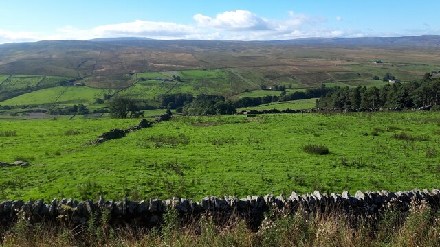
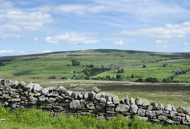
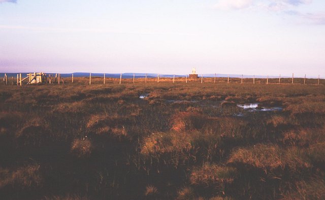
Black Band, Cumberland Hill, also known as Black Band Mountain, is a prominent geological feature located in the Cumberland region of the United States. Rising to an elevation of approximately 1,040 feet (317 meters), it offers picturesque views and serves as a popular destination for outdoor enthusiasts.
The mountain derives its name from the distinct black band of rock that can be observed near its summit. This band is composed of shale, a sedimentary rock formed from the accumulation of clay and silt over millions of years. The dark coloration of the shale is due to the presence of organic material such as decomposed plant matter.
The Cumberland Hill area surrounding Black Band Mountain is characterized by a diverse range of flora and fauna. Hikers and nature lovers can explore the lush forests that encompass the mountain, which are home to a variety of tree species including oaks, maples, and pines. Wildlife such as deer, squirrels, and a wide array of bird species can also be spotted in the area.
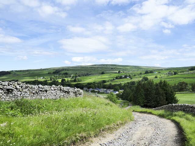
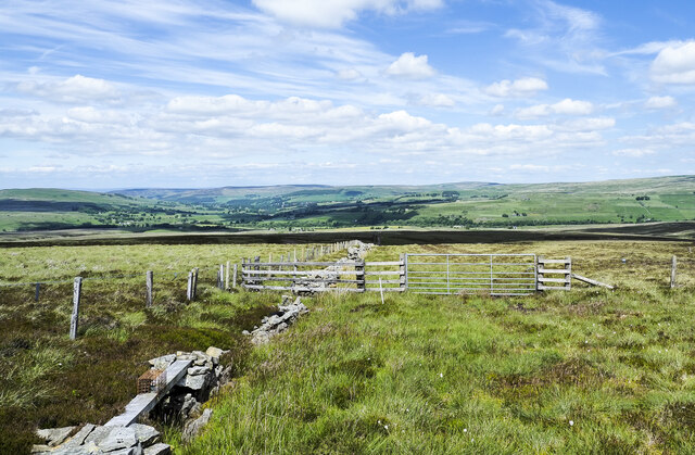
Black Band, Cumberland Hill, offers numerous recreational opportunities for visitors. Hiking trails of varying difficulty levels wind through the mountain, allowing outdoor enthusiasts to explore its natural beauty. Rock climbing and rappelling are popular activities among adventure seekers, thanks to the rugged terrain and cliffs found on the mountain's slopes.
Overall, Black Band, Cumberland Hill, offers a captivating blend of geological wonders, stunning vistas, and outdoor adventures, making it a must-visit destination for nature lovers and thrill-seekers alike.
If you have any feedback on the listing, please let us know in the comments section below.
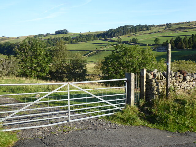
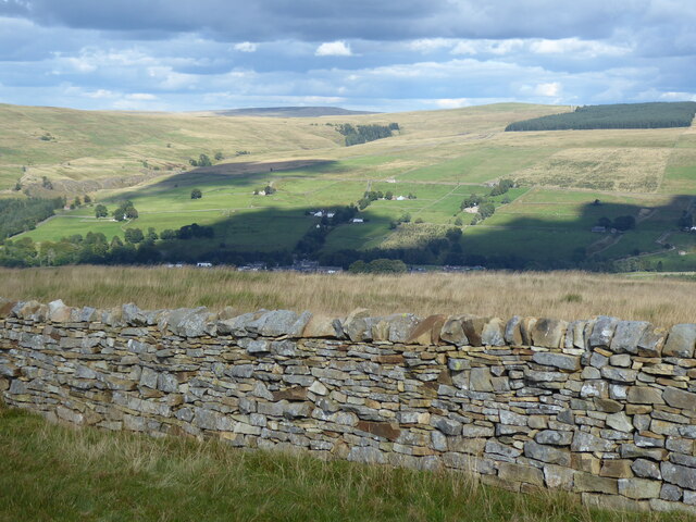
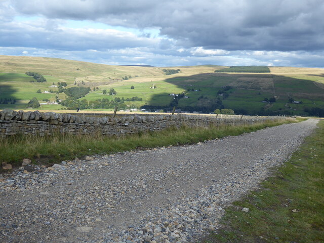
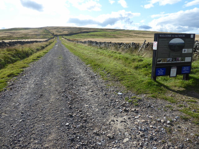
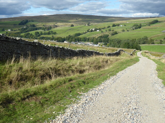
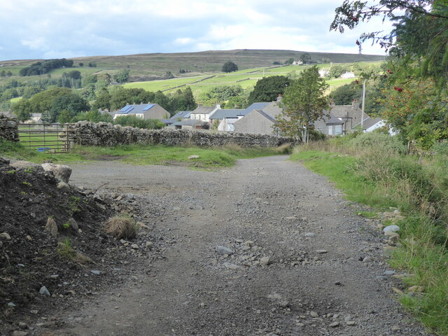
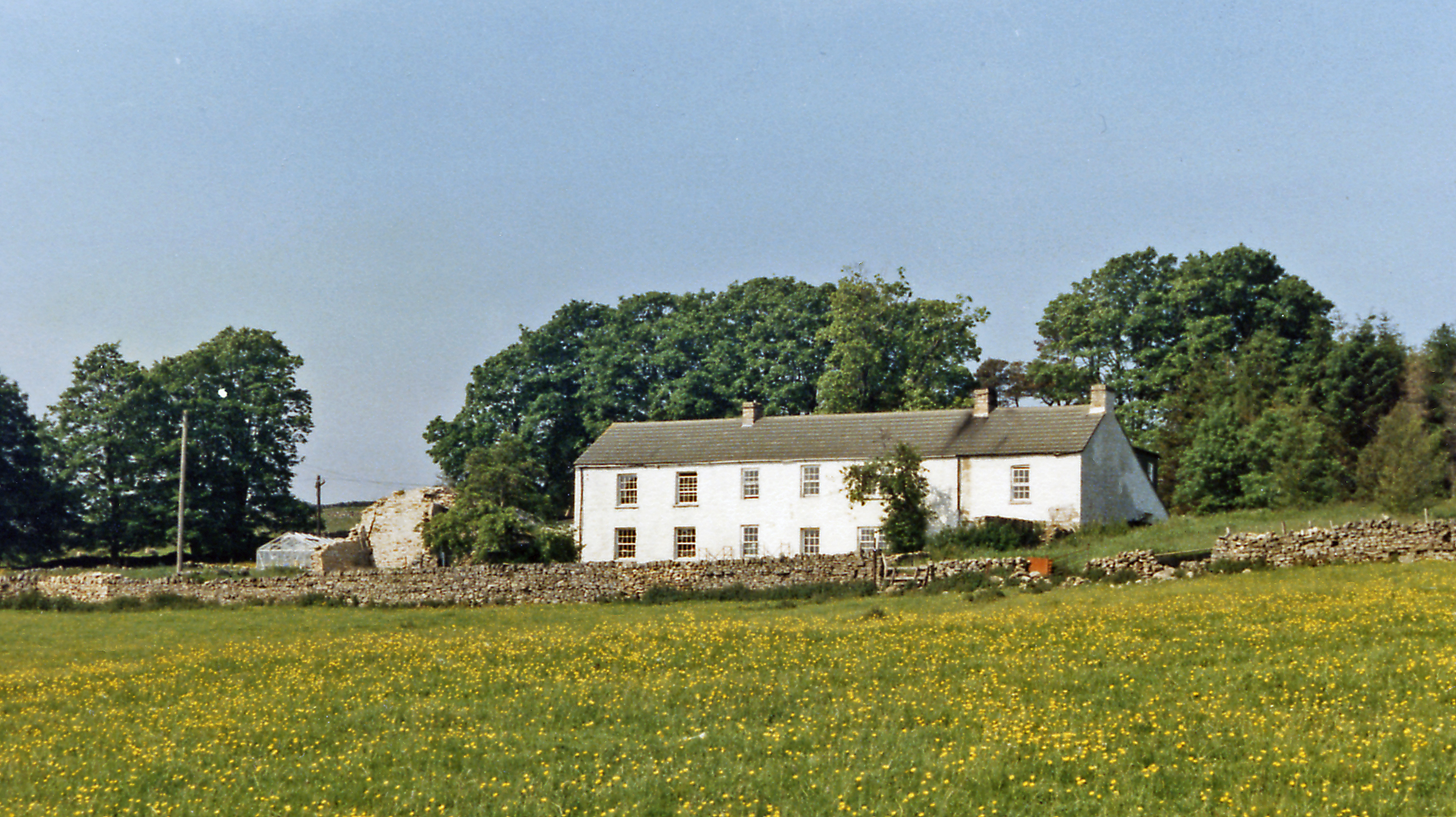
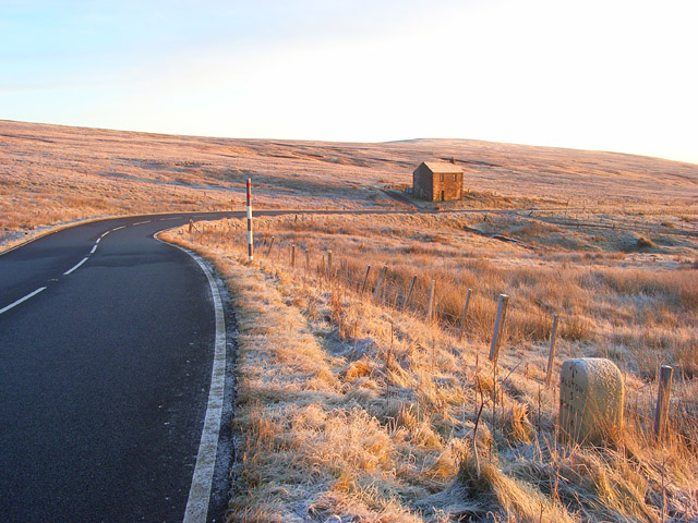
Black Band Images
Images are sourced within 2km of 54.754952/-2.4208851 or Grid Reference NY7340. Thanks to Geograph Open Source API. All images are credited.


Black Band is located at Grid Ref: NY7340 (Lat: 54.754952, Lng: -2.4208851)
Administrative County: Cumbria
District: Eden
Police Authority: Cumbria
What 3 Words
///huts.backtrack.these. Near Alston, Cumbria
Nearby Locations
Related Wikis

Garrigill
Garrigill, Cumbria is a small village in the North Pennine region of the UK, situated on the banks and close to the source of the River South Tyne. Historically...

Ashgill Force
Ashgill Force is a waterfall near Alston, Cumbria, England. The fall is located on Ashgill Beck and is reasonably easily accessible from the B6277 (which...

Leadgate, Cumbria
Leadgate is a small hamlet located at the foot of Hartside Fell between the town of Alston and the village of Garrigill in the parish of Alston Moor in...

Moorhouse and Cross Fell
Moorhouse and Cross Fell is a Site of Special Scientific Interest covering an extensive area of moorland in the Wear Valley district of west County Durham...
Bayles, Cumbria
Bayles is a hamlet near Alston in Cumbria, England.
A686 road
The A686 is a road in Northern England. It runs from Penrith in Cumbria to Haydon Bridge in Northumberland. AA Magazine named the A686 as one of their...
Burnhope Seat
Burnhope Seat is a high moorland fell in the North Pennines Area of Outstanding Natural Beauty (AONB) in northern England. It lies between the heads of...

Alston, Cumbria
Alston is a town in Westmorland and Furness, Cumbria, England, within the civil parish of Alston Moor on the River South Tyne. It shares the title of the...
Nearby Amenities
Located within 500m of 54.754952,-2.4208851Have you been to Black Band?
Leave your review of Black Band below (or comments, questions and feedback).