West Bradford Fell
Downs, Moorland in Yorkshire Ribble Valley
England
West Bradford Fell
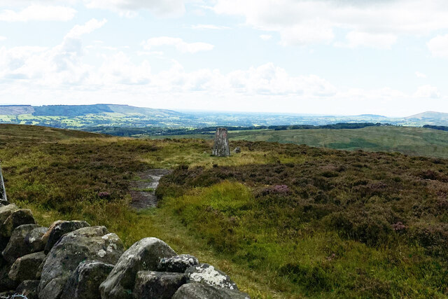
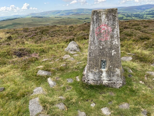
West Bradford Fell is a picturesque area located in the county of Yorkshire, England. This stunning landscape is nestled within the Yorkshire Dales National Park, showcasing the region's natural beauty. Known for its rolling hills, vast moorlands, and breathtaking views, West Bradford Fell offers visitors a chance to immerse themselves in the tranquility of the countryside.
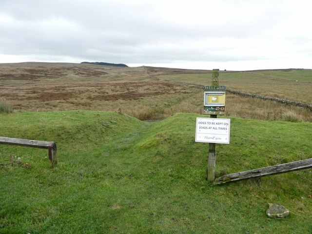
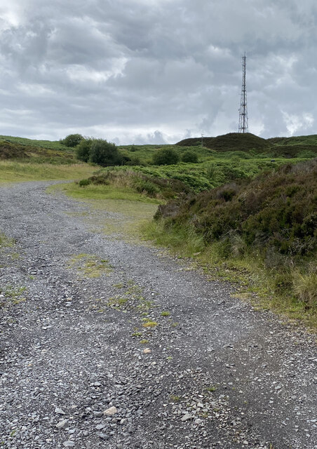
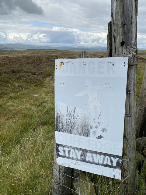
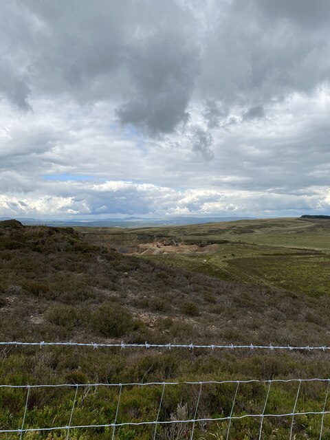
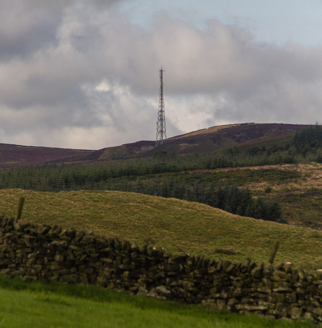
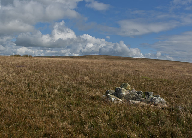
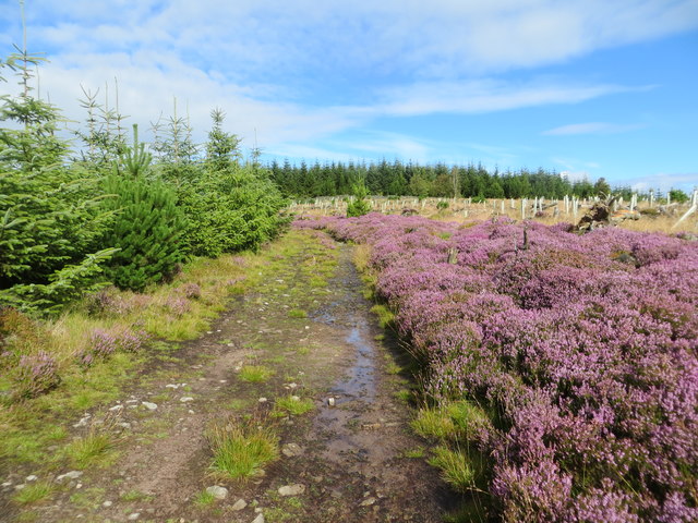
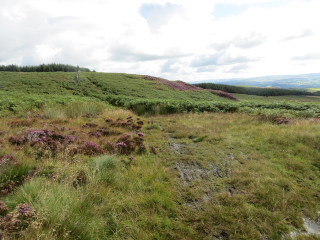
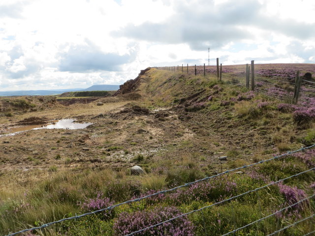
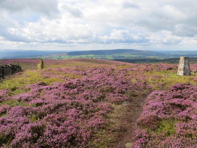
The area is characterized by its diverse terrain, including both open moorland and verdant valleys. The moorland is covered in heather and scattered with rocky outcrops, creating a dramatic and rugged atmosphere. The valleys, on the other hand, are adorned with lush green fields, meandering rivers, and charming villages, providing a more serene and idyllic setting.
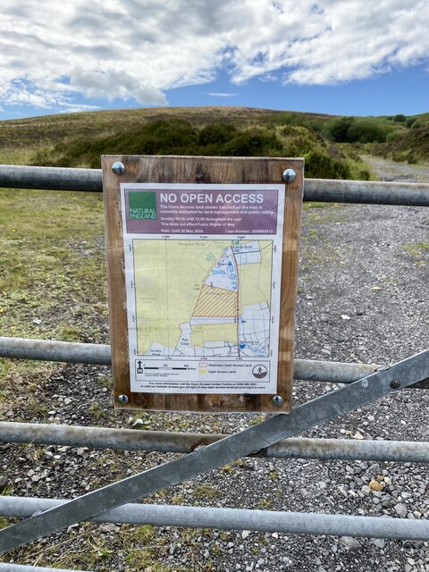
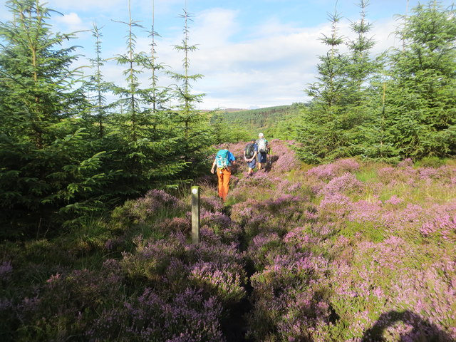
West Bradford Fell is a haven for outdoor enthusiasts, offering a wide range of activities. Hikers and walkers can explore the numerous trails that crisscross the landscape, providing opportunities to discover hidden waterfalls, ancient ruins, and stunning vistas. Additionally, the area is popular among birdwatchers, as it is home to a variety of avian species, including peregrine falcons and red grouse.
For those seeking a cultural experience, West Bradford Fell is dotted with historic landmarks and charming villages. The village of West Bradford itself is known for its traditional stone-built houses and quaint pubs, allowing visitors to experience the local charm and hospitality.
Overall, West Bradford Fell in Yorkshire is a haven for nature lovers and a paradise for those seeking peace and tranquility. Its diverse landscapes, rich history, and welcoming communities make it a must-visit destination for anyone exploring the Yorkshire countryside.
If you have any feedback on the listing, please let us know in the comments section below.
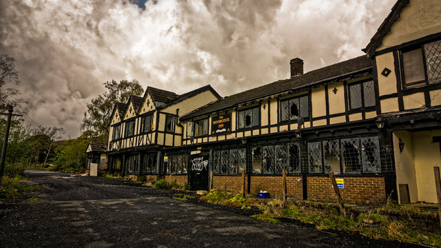
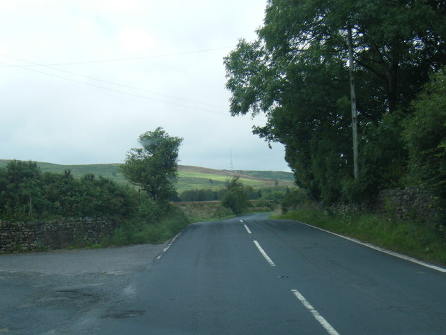
West Bradford Fell Images
Images are sourced within 2km of 53.918605/-2.4093023 or Grid Reference SD7347. Thanks to Geograph Open Source API. All images are credited.
West Bradford Fell is located at Grid Ref: SD7347 (Lat: 53.918605, Lng: -2.4093023)
Division: West Riding
Administrative County: Lancashire
District: Ribble Valley
Police Authority: Lancashire
What 3 Words
///overtime.crackled.kingpin. Near Waddington, Lancashire
Nearby Locations
Related Wikis

Easington Fell
Easington Fell is a Marilyn in the Forest of Bowland in Lancashire, England. It has been surveyed to be 70 cm higher than a nearby fell of almost identical...

Eaves Hall
Eaves Hall was built in 1864 for John Burton (1809–1879), first son of James Burton and a wealthy cotton mill-owner.Sold by the Burtons in 1938, having...

West Bradford, Lancashire
West Bradford is a village and civil parish in Lancashire, England, 2.5 miles (4 km) north of Clitheroe. The population at the 2011 census was 788. It...

Grindleton
Grindleton is a village and civil parish in the Ribble Valley district of the English county of Lancashire, formerly in the West Riding of Yorkshire. Its...
Related Videos
Cobble View Cottage, Waddington, Clitheroe
A cosy holiday cottage located in the quaint village of Waddington near Clitheroe. Cobble View is just a few minutes' drive to a ...

Waddington fell race 2023 // Forest of Bowland
Waddington fell race 2023, organised by Bowland fell runners. 7 miles long with 1370 ft elevation. Starts from Waddington village.
🎥Slaidburn church (St Andrews) 🎥Lancashire by Drone series.
Please watch in FULL HD with sound. Recorded last Saturday morning coming back from stocks reservoir. Had to stop and record ...
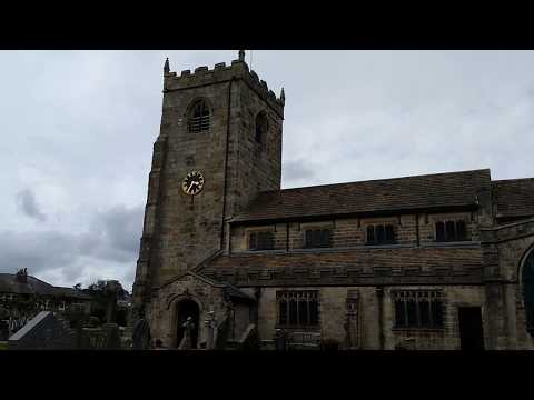
Bellringing at St Helen, Waddington, Lancashire
The next tower after Whalley came St Helen's Church in Waddington, but a slight difference here, as Waddington was historically ...
Have you been to West Bradford Fell?
Leave your review of West Bradford Fell below (or comments, questions and feedback).