Old Meadow Plantation
Downs, Moorland in Yorkshire Ribble Valley
England
Old Meadow Plantation

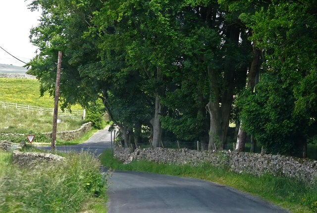
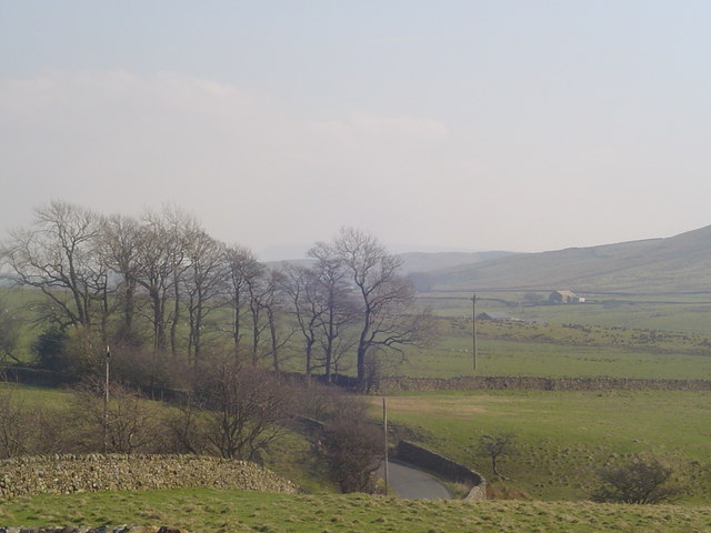
Old Meadow Plantation is a picturesque estate located in the heart of Yorkshire, encompassing vast stretches of rolling Downs and Moorland. Sprawling over several hundred acres, this historic property offers a unique blend of natural beauty and rich heritage.
The estate boasts a diverse landscape, featuring lush meadows, dense woodlands, and rugged moorland, creating a haven for a wide range of flora and fauna. Visitors can explore the well-maintained trails that wind through the property, offering breathtaking views of the surrounding countryside and opportunities for wildlife spotting.
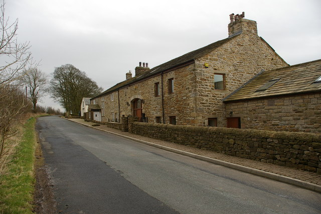
At the heart of Old Meadow Plantation, a charming manor house stands as a testament to its long and storied history. Built in the 18th century, the house showcases classic Georgian architecture, with its elegant facade and grand interiors. The property has been meticulously preserved and updated over the years, ensuring a seamless blend of old-world charm and modern amenities.
The estate offers a range of outdoor activities for visitors to enjoy. From horseback riding and fishing in the estate's picturesque lake to hiking and cycling along the numerous trails, there is something for everyone to indulge in. Additionally, Old Meadow Plantation hosts various events throughout the year, including garden tours, cultural festivals, and equestrian competitions, attracting locals and tourists alike.
For those seeking a tranquil retreat, the estate offers luxurious accommodation options, including guest cottages and suites within the manor house. With their tastefully appointed furnishings and stunning views, these accommodations provide a perfect escape from the hustle and bustle of everyday life.
Old Meadow Plantation, with its breathtaking scenery and rich history, offers a truly immersive experience for nature lovers and history enthusiasts alike.
If you have any feedback on the listing, please let us know in the comments section below.
Old Meadow Plantation Images
Images are sourced within 2km of 53.952078/-2.4087769 or Grid Reference SD7350. Thanks to Geograph Open Source API. All images are credited.


Old Meadow Plantation is located at Grid Ref: SD7350 (Lat: 53.952078, Lng: -2.4087769)
Division: West Riding
Administrative County: Lancashire
District: Ribble Valley
Police Authority: Lancashire
What 3 Words
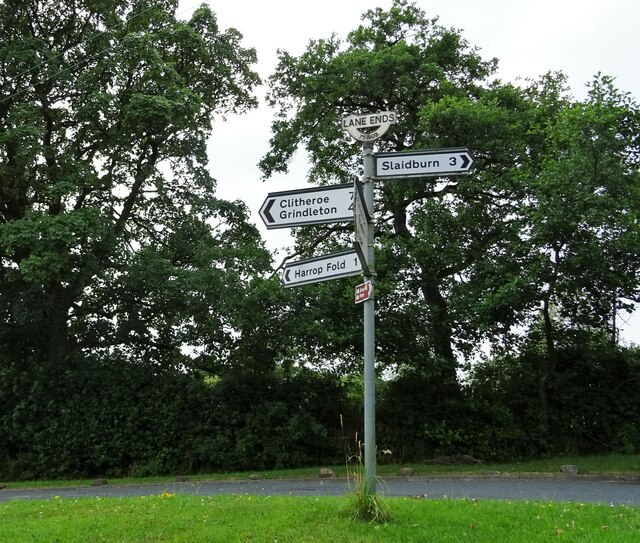
///evening.inert.utensil. Near Waddington, Lancashire
Nearby Locations
Related Wikis

Easington Fell
Easington Fell is a Marilyn in the Forest of Bowland in Lancashire, England. It has been surveyed to be 70 cm higher than a nearby fell of almost identical...

Slaidburn
Slaidburn () is a village and civil parish within the Ribble Valley district of Lancashire, England. The parish covers just over 5,000 acres of the Forest...

Lancashire Witches Walk
The Lancashire Witches Walk is a 51-mile (82 km) long-distance footpath opened in 2012, between Barrowford and Lancaster, all in Lancashire, England. It...

St Andrew's Church, Slaidburn
St Andrew's Church is in Church Street, Slaidburn, Lancashire, England. It is an active Anglican parish church in the deanery of Bowland, the archdeaconry...
Nearby Amenities
Located within 500m of 53.952078,-2.4087769Have you been to Old Meadow Plantation?
Leave your review of Old Meadow Plantation below (or comments, questions and feedback).