Sour Dock Hill
Hill, Mountain in Yorkshire Ribble Valley
England
Sour Dock Hill
Sour Dock Hill is a prominent hill located in the county of Yorkshire, England. Situated in the picturesque Yorkshire Dales National Park, it is a popular destination for outdoor enthusiasts and nature lovers. The hill is part of the Pennines, a range of hills and mountains that stretches across northern England.
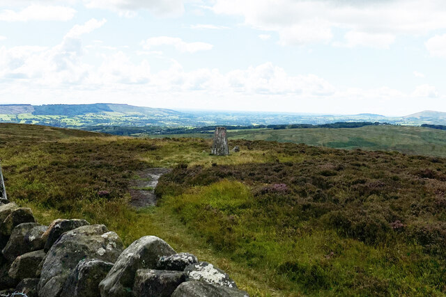
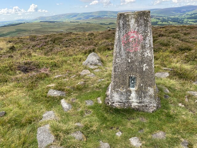
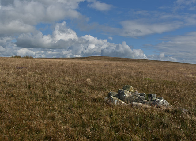
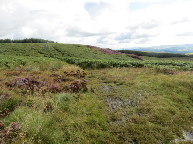
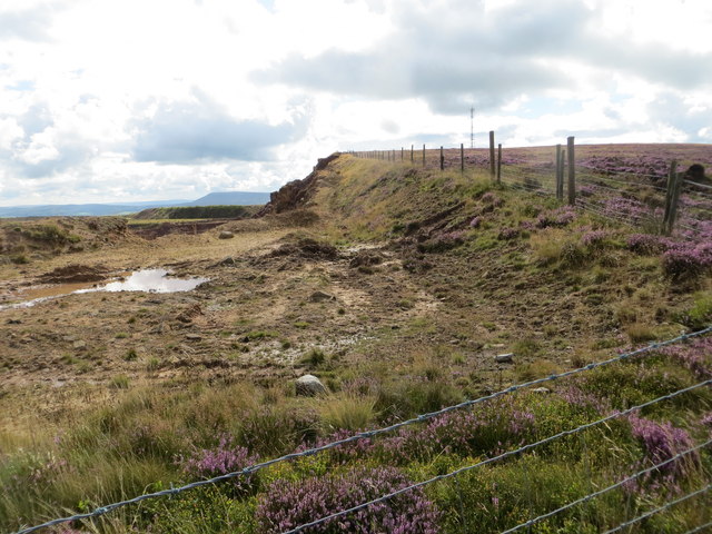
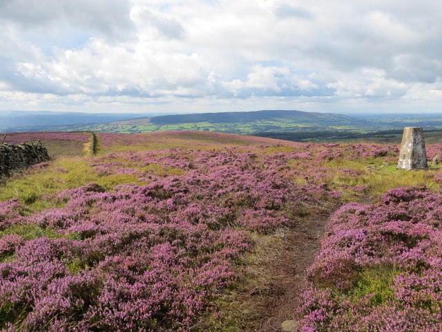
Rising to a height of approximately 500 meters (1,640 feet), Sour Dock Hill offers breathtaking panoramic views of the surrounding countryside. Its distinctive shape and rocky terrain make it a notable landmark in the area. The hill is covered in heather and grasses, providing a vibrant and colorful landscape, particularly during the summer months.
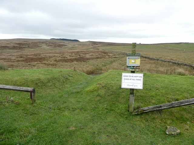
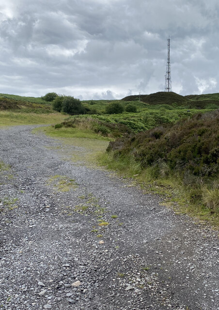
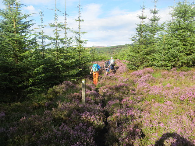
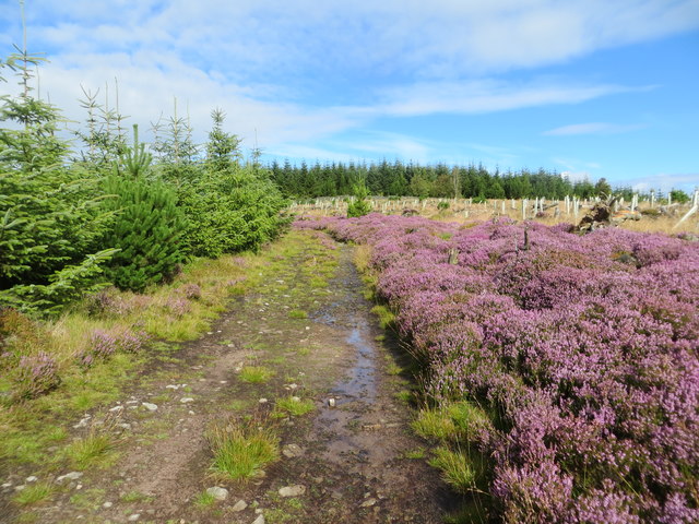
The summit of Sour Dock Hill can be accessed via various footpaths and hiking trails that wind their way up the hillside. These routes offer a range of difficulty levels, making it suitable for both experienced hikers and beginners. Along the way, visitors may encounter a variety of wildlife, including birds, rabbits, and occasional deer.
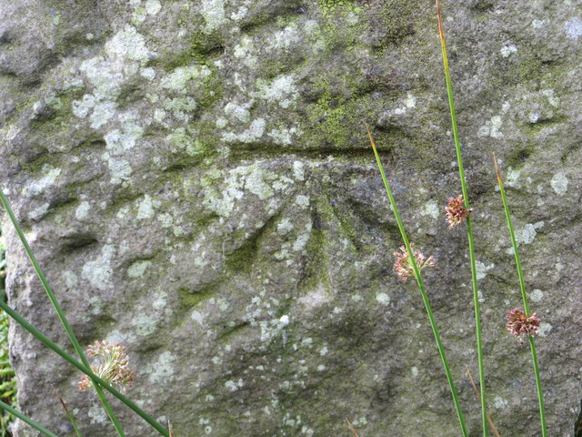
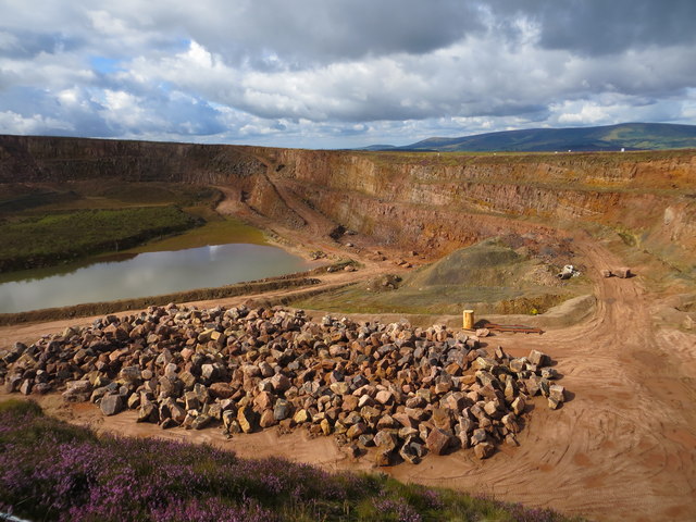
The hill is also home to several historical features, including ancient stone walls and remnants of old mining activities. These serve as a reminder of the area's rich industrial heritage.
Sour Dock Hill is a popular destination for outdoor activities such as hiking, picnicking, and birdwatching. Its accessibility and stunning natural beauty make it an ideal location for visitors to immerse themselves in the Yorkshire countryside.
If you have any feedback on the listing, please let us know in the comments section below.
Sour Dock Hill Images
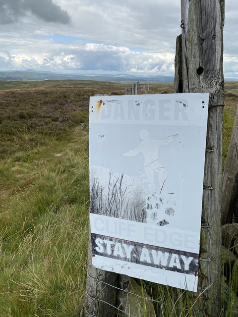
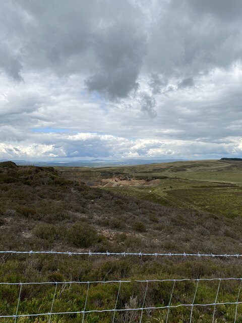
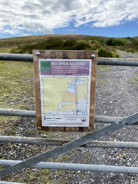
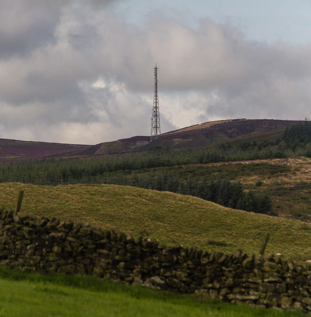
Images are sourced within 2km of 53.921082/-2.4104533 or Grid Reference SD7347. Thanks to Geograph Open Source API. All images are credited.

Sour Dock Hill is located at Grid Ref: SD7347 (Lat: 53.921082, Lng: -2.4104533)
Division: West Riding
Administrative County: Lancashire
District: Ribble Valley
Police Authority: Lancashire
What 3 Words
///tentacles.contain.pencils. Near Waddington, Lancashire
Nearby Locations
Related Wikis

Easington Fell
Easington Fell is a Marilyn in the Forest of Bowland in Lancashire, England. It has been surveyed to be 70 cm higher than a nearby fell of almost identical...

Eaves Hall
Eaves Hall was built in 1864 for John Burton (1809–1879), first son of James Burton and a wealthy cotton mill-owner.Sold by the Burtons in 1938, having...

Grindleton
Grindleton is a village and civil parish in the Ribble Valley district of the English county of Lancashire, formerly in the West Riding of Yorkshire. Its...

Grindletonians
The Grindletonians were a Puritan sect that arose in the town of Grindleton in Lancashire, England, in around 1610. The sect remained active in the North...
Have you been to Sour Dock Hill?
Leave your review of Sour Dock Hill below (or comments, questions and feedback).