Wet Shaw
Downs, Moorland in Yorkshire Craven
England
Wet Shaw
Wet Shaw is a picturesque village located in the heart of Yorkshire, England. Situated amidst the stunning landscapes of the Yorkshire Downs and Moorland, this quaint village offers visitors a unique and captivating experience.
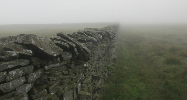
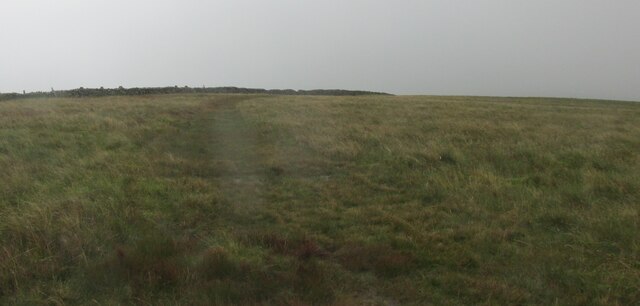
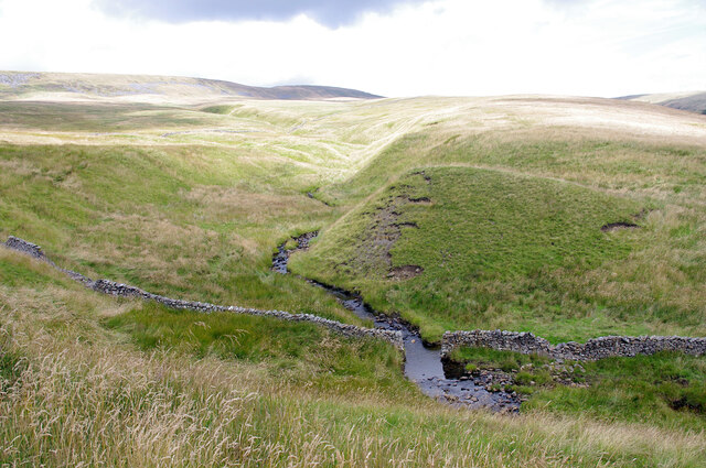
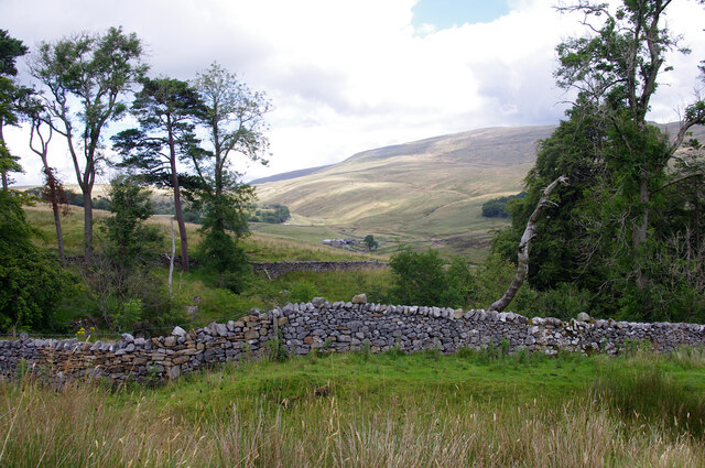
Surrounded by rolling hills, lush green fields, and meandering streams, Wet Shaw is a haven for nature enthusiasts and outdoor lovers. The village is renowned for its stunning walking trails, which allow visitors to explore the breathtaking beauty of the Yorkshire Downs and Moorland.
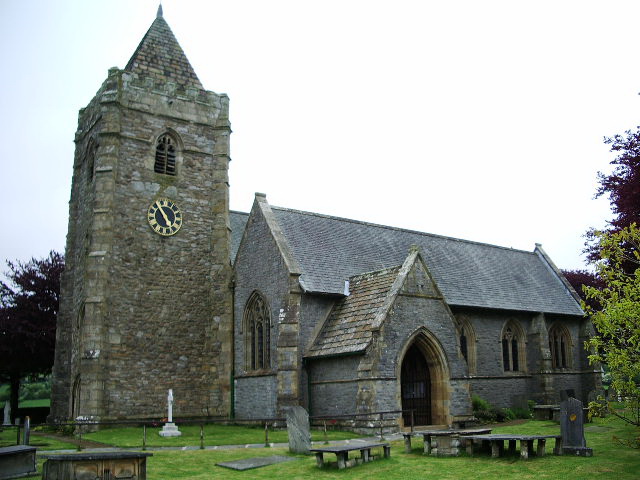
In addition to its natural beauty, Wet Shaw boasts a rich history and charming architecture. The village is home to several historical buildings, including the 12th-century St. Mary's Church, which stands as a testament to the village's ancient past. The church's stunning stained glass windows and intricate stone carvings are a must-see for history buffs and architecture enthusiasts.
Wet Shaw is also known for its warm and welcoming community. The village hosts various events throughout the year, such as the annual summer fair and Christmas market, where locals and visitors can come together to celebrate and enjoy the village's vibrant atmosphere.
For those seeking a tranquil escape, Wet Shaw offers a range of cozy bed and breakfasts and charming countryside cottages. These accommodations provide a perfect base for exploring the surrounding area and immersing oneself in the peaceful ambiance of the village.
In conclusion, Wet Shaw is a hidden gem nestled in the stunning landscapes of Yorkshire Downs and Moorland. With its natural beauty, rich history, and welcoming community, it is an idyllic destination for those seeking a peaceful retreat in the heart of England.
If you have any feedback on the listing, please let us know in the comments section below.
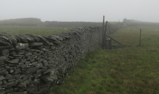
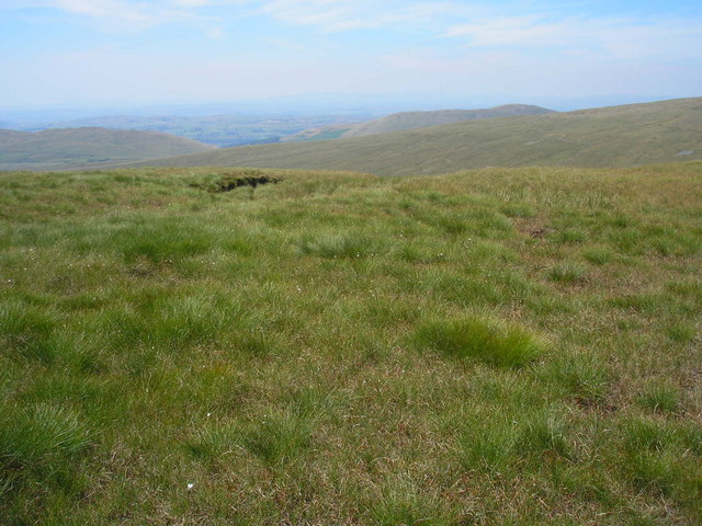
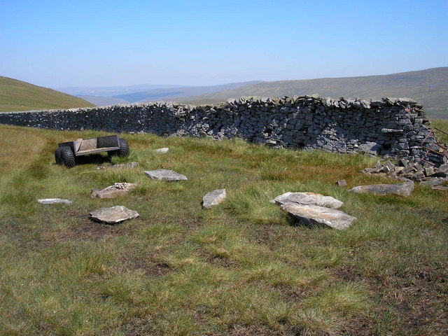
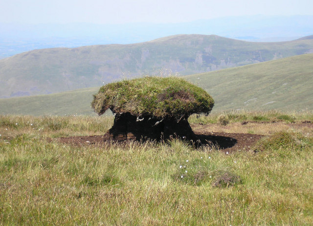
Wet Shaw Images
Images are sourced within 2km of 54.215583/-2.4472135 or Grid Reference SD7080. Thanks to Geograph Open Source API. All images are credited.


Wet Shaw is located at Grid Ref: SD7080 (Lat: 54.215583, Lng: -2.4472135)
Division: West Riding
Administrative County: North Yorkshire
District: Craven
Police Authority: North Yorkshire
What 3 Words
///lifeguard.link.addicted. Near Ingleton, North Yorkshire
Nearby Locations
Related Wikis

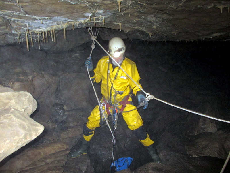
Yordas Cave
Yordas Cave is a solutional cave in Kingsdale, North Yorkshire, England. It has been renowned since the eighteenth century as a natural curiosity, and...
Thornton in Lonsdale
Thornton in Lonsdale is a village and civil parish in the Craven District and ceremonial county of North Yorkshire in England. It is very close to the...

Jingling Pot
Jingling Pot is a limestone cave in West Kingsdale, North Yorkshire, England. Located adjacent to Jingling Beck, it is a lenticular-shaped 45-metre (148...
Aquamole Pot
Aquamole Pot is a limestone cave in West Kingsdale, North Yorkshire, England. It was originally discovered by cave divers who negotiated 168 metres (551...

Green Hill (Lancashire)
Green Hill is a mountain or fell in north west England. Its summit is 628 metres (2,060 ft) above sea level. It is located above Cowan Bridge, Lancashire...

Rowten Pot
Rowten Pot is one of several entrances into the 27-kilometre (17 mi) long cave system that drains Kingsdale in North Yorkshire, England. Its entrance...

Gragareth
Gragareth is a mountain straddling the border between Lancashire and North Yorkshire in England. At 627 metres (2,057 ft), its summit is the second highest...

Simpson Pot
Named after Eli Simpson, Simpson Pot is a limestone cave in West Kingsdale, North Yorkshire, England. It leads into Swinsto Cave and thence into Kingsdale...
Nearby Amenities
Located within 500m of 54.215583,-2.4472135Have you been to Wet Shaw?
Leave your review of Wet Shaw below (or comments, questions and feedback).