Blakeamaya Pasture
Downs, Moorland in Yorkshire Craven
England
Blakeamaya Pasture
Blakeamaya Pasture is a picturesque and expansive area located in the heart of Yorkshire, England. Situated between the renowned Yorkshire Downs and Moorland, this landscape offers a diverse range of natural beauty and outdoor activities for visitors to enjoy.
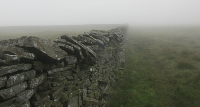
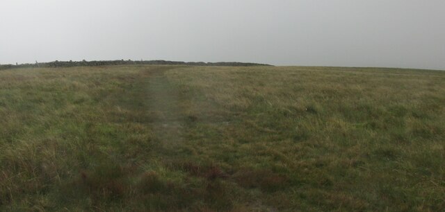
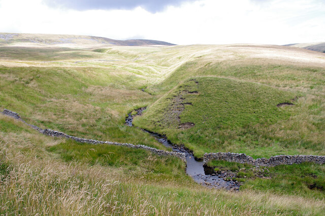
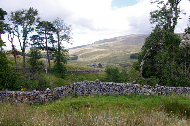
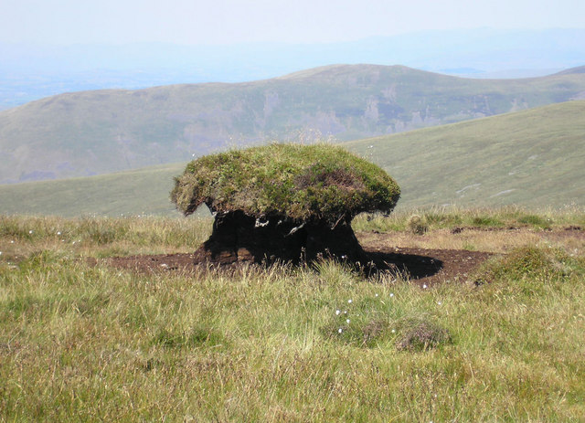
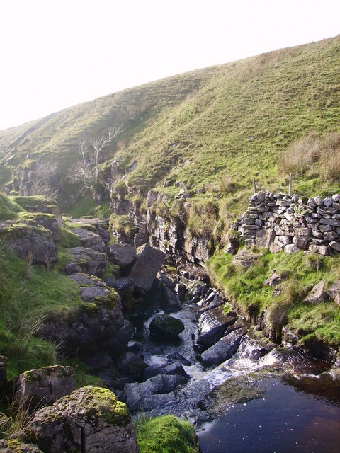
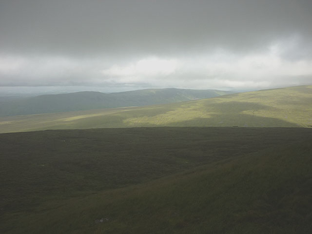
Covering several acres, the pasture is characterized by its rolling hills, lush greenery, and meandering streams that add to its idyllic charm. The Yorkshire Downs, with their gently sloping hills and vast open spaces, provide a stunning backdrop to the pasture. On clear days, visitors are rewarded with breathtaking panoramic views of the surrounding countryside.
The Moorland, on the other hand, offers a more rugged and wild terrain. With its heather-covered hills and rocky outcrops, it presents a stark contrast to the gentle slopes of the Downs. The Moorland is home to a variety of flora and fauna, including species such as grouse, curlews, and wild ponies.
Blakeamaya Pasture is a haven for outdoor enthusiasts, offering a plethora of activities. Hiking and walking trails crisscross the landscape, allowing visitors to explore the diverse surroundings at their own pace. Birdwatchers flock to the area to observe the wide range of avian species that call the pasture home.
For those seeking a more leisurely experience, picnic spots are scattered throughout the pasture, providing an opportunity to relax and take in the breathtaking scenery. Additionally, the area is popular for horse riding, with numerous bridleways and stables available for equestrian enthusiasts.
Overall, Blakeamaya Pasture is a haven of natural beauty and outdoor adventure, offering a unique blend of Yorkshire Downs and Moorland landscapes. Whether it's exploring the rolling hills, admiring the diverse wildlife, or simply enjoying a peaceful picnic, this pastoral haven has something to offer for everyone.
If you have any feedback on the listing, please let us know in the comments section below.
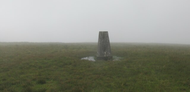
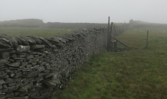
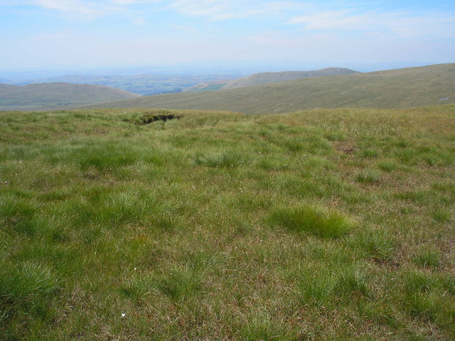
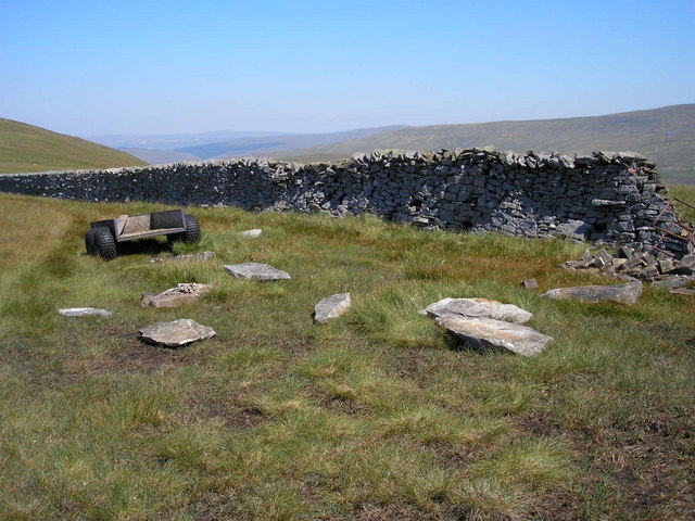
Blakeamaya Pasture Images
Images are sourced within 2km of 54.21664/-2.4555672 or Grid Reference SD7080. Thanks to Geograph Open Source API. All images are credited.


Blakeamaya Pasture is located at Grid Ref: SD7080 (Lat: 54.21664, Lng: -2.4555672)
Division: West Riding
Administrative County: North Yorkshire
District: Craven
Police Authority: North Yorkshire
What 3 Words
///measures.reflector.broken. Near Ingleton, North Yorkshire
Nearby Locations
Related Wikis

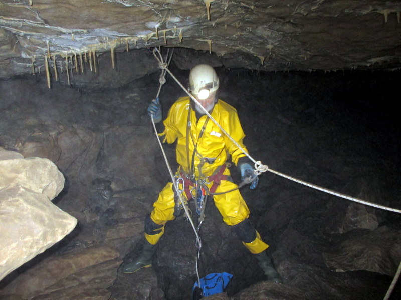
Yordas Cave
Yordas Cave is a solutional cave in Kingsdale, North Yorkshire, England. It has been renowned since the eighteenth century as a natural curiosity, and...
Thornton in Lonsdale
Thornton in Lonsdale is a village and civil parish in the Craven District and ceremonial county of North Yorkshire in England. It is very close to the...

Green Hill (Lancashire)
Green Hill is a mountain or fell in north west England. Its summit is 628 metres (2,060 ft) above sea level. It is located above Cowan Bridge, Lancashire...

Jingling Pot
Jingling Pot is a limestone cave in West Kingsdale, North Yorkshire, England. Located adjacent to Jingling Beck, it is a lenticular-shaped 45-metre (148...

Gragareth
Gragareth is a mountain straddling the border between Lancashire and North Yorkshire in England. At 627 metres (2,057 ft), its summit is the second highest...
Aquamole Pot
Aquamole Pot is a limestone cave in West Kingsdale, North Yorkshire, England. It was originally discovered by cave divers who negotiated 168 metres (551...

Rowten Pot
Rowten Pot is one of several entrances into the 27-kilometre (17 mi) long cave system that drains Kingsdale in North Yorkshire, England. Its entrance...

Simpson Pot
Named after Eli Simpson, Simpson Pot is a limestone cave in West Kingsdale, North Yorkshire, England. It leads into Swinsto Cave and thence into Kingsdale...
Related Videos

County Tops - Lancashire
Gragareth and Green Hill via Yordas Cave. Yordas Cave, just off the narrow road through Kingsdale, was a tourist attraction in the ...


Three Men of Gragareth #gragareth #threemenofgragareth #lancashire
The Three Men of Gragareth are a group of tall cairns on the western side of Gragareth Fell. Gragareth is the highest point in ...

Evening run up Gregareth
Evening run up Gregareth May 2020.
Have you been to Blakeamaya Pasture?
Leave your review of Blakeamaya Pasture below (or comments, questions and feedback).