Blackrigg Park
Downs, Moorland in Northumberland
England
Blackrigg Park
Blackrigg Park is a picturesque area located in Northumberland, England. It is known for its stunning natural beauty and diverse landscapes, consisting of downs and moorland. Spanning over a considerable expanse of land, the park offers visitors a unique and tranquil experience.
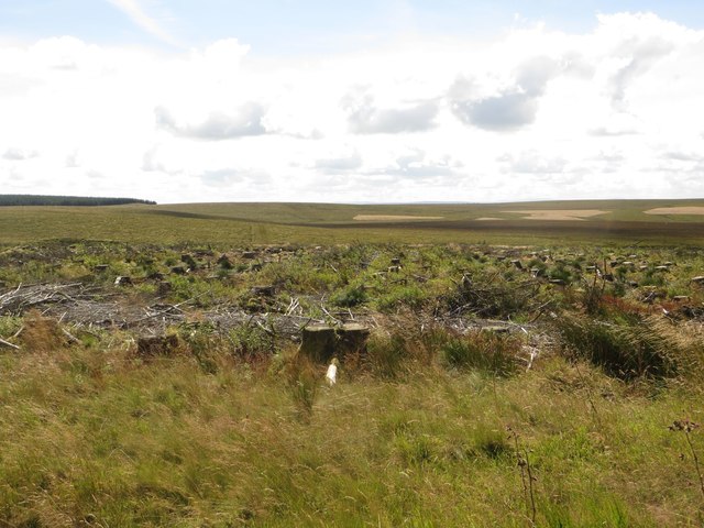
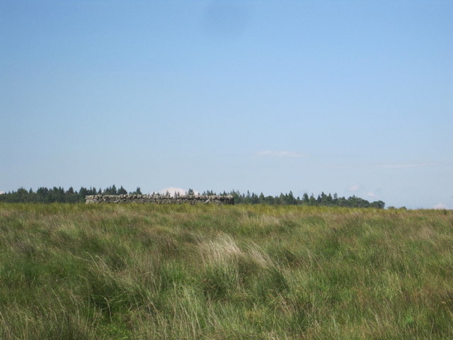
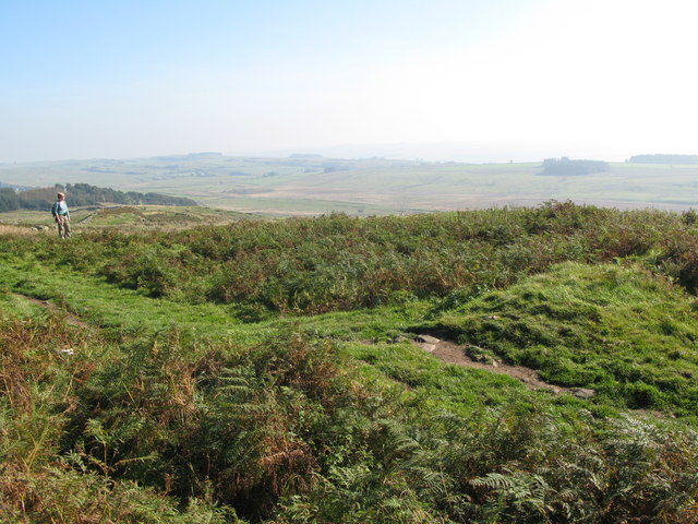
The downs in Blackrigg Park are characterized by rolling hills and vast grasslands, providing breathtaking panoramic views of the surrounding countryside. These open spaces are ideal for leisurely walks, picnics, and various outdoor activities such as kite flying and frisbee. The downs are also home to a variety of plant and animal species, including wildflowers, rabbits, and a diverse range of birdlife.
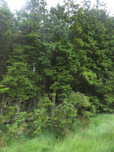
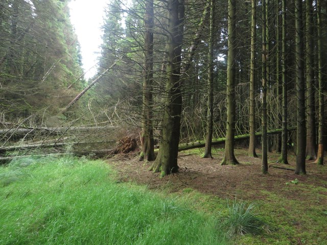
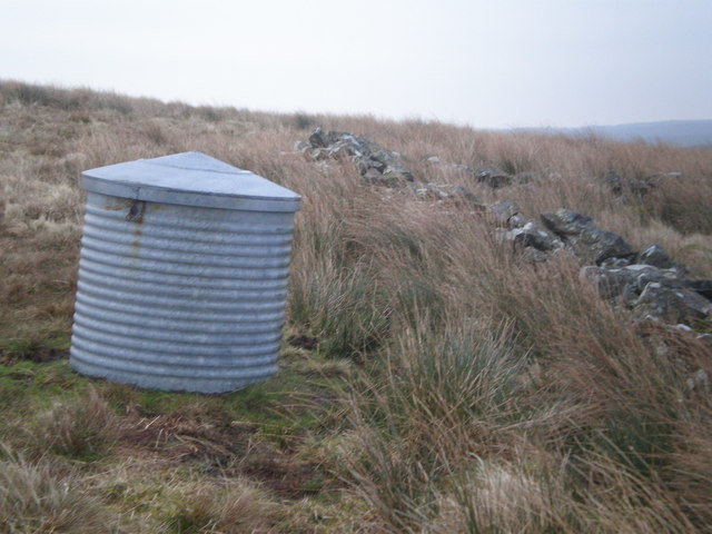
In contrast, the moorland in Blackrigg Park offers a more rugged and untamed landscape. Here, visitors can explore heather-covered hills, rocky outcrops, and peat bogs. The moorland is a haven for nature enthusiasts, as it provides habitats for unique wildlife such as red grouse, curlews, and the elusive black grouse. The area is also scattered with ancient ruins and archaeological sites, adding to its historical charm.
Blackrigg Park is well-equipped for visitors, with designated walking paths, picnic areas, and information boards to guide explorers. The park is easily accessible by car and offers ample parking facilities. Additionally, there are several local businesses nearby, including quaint cafes and charming bed and breakfasts, ensuring that visitors have a comfortable and enjoyable stay.
Overall, Blackrigg Park in Northumberland is a haven for nature lovers and outdoor enthusiasts, offering a diverse range of landscapes and a peaceful escape from the hustle and bustle of everyday life.
If you have any feedback on the listing, please let us know in the comments section below.
Blackrigg Park Images
Images are sourced within 2km of 55.074084/-2.4655135 or Grid Reference NY7075. Thanks to Geograph Open Source API. All images are credited.


Blackrigg Park is located at Grid Ref: NY7075 (Lat: 55.074084, Lng: -2.4655135)
Unitary Authority: Northumberland
Police Authority: Northumbria
What 3 Words
///hacksaw.rainfall.kitchens. Near Haltwhistle, Northumberland
Nearby Locations
Related Wikis

Wark Forest
Wark Forest is the southern part of Kielder Forest in Northumberland, England. Wark Forest is found within the south-west tip of Northumberland National...

Churnsike Lodge
Churnsike Lodge is an early Victorian hunting lodge situated in the parish of Greystead, West Northumberland, England. Constructed in 1850 by the Charlton...

Northumbria
Northumbria (; Old English: Norþanhymbra rīċe; Latin: Regnum Northanhymbrorum) was an early medieval Anglo-Saxon kingdom in what is now Northern England...

Milecastle 43
Milecastle 43 (Great Chesters) was a milecastle on Hadrian's Wall (grid reference NY70356684). It was obliterated when the fort at Great Chesters (Aesica...
Milecastle 44
Milecastle 44 (Allolee) was a milecastle on Hadrian's Wall (grid reference NY68886694). == Description == Milecastle 44 is located about 1.5 kilometres...
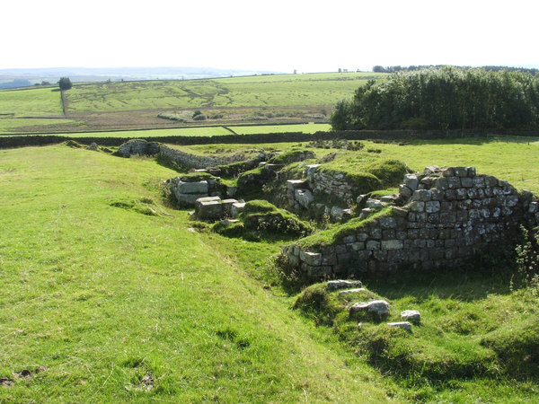
Aesica
Aesica (with the modern name of Great Chesters) was a Roman fort, one and a half miles north of the small town of Haltwhistle in Northumberland, England...
Allolee to Walltown
Allolee to Walltown is the name given to a Site of Special Scientific Interest (SSSI) in Northumberland, England. The site, which follows the path of a...

Milecastle 41
Milecastle 41 (Melkridge) was a milecastle on Hadrian's Wall (grid reference NY73026705). == Description == Milecastle 41 is located to the east of Caw...
Nearby Amenities
Located within 500m of 55.074084,-2.4655135Have you been to Blackrigg Park?
Leave your review of Blackrigg Park below (or comments, questions and feedback).