Burnhead Moss
Downs, Moorland in Northumberland
England
Burnhead Moss
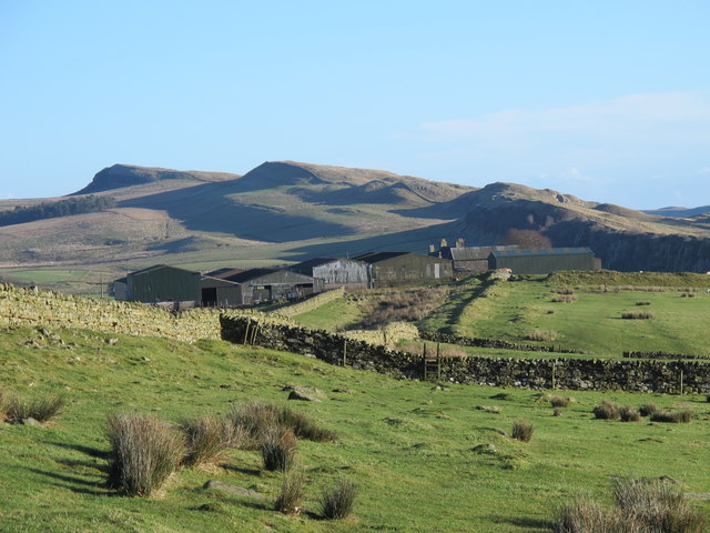
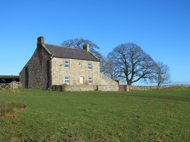
Burnhead Moss is a vast expanse of moorland located in Northumberland, England. Covering an area of approximately 6,000 acres, it is a significant natural landmark in the region. The moss is situated near the small village of Harbottle, offering visitors a glimpse into the enchanting beauty of the Northumberland National Park.
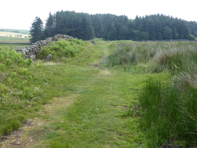
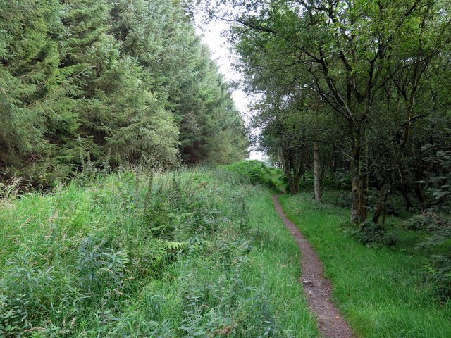
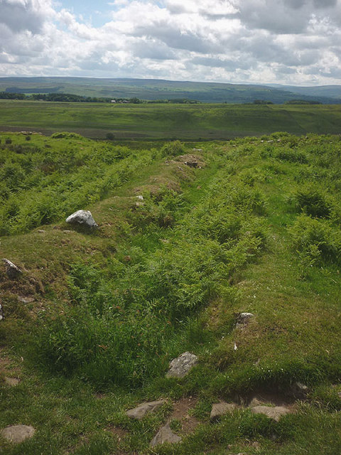
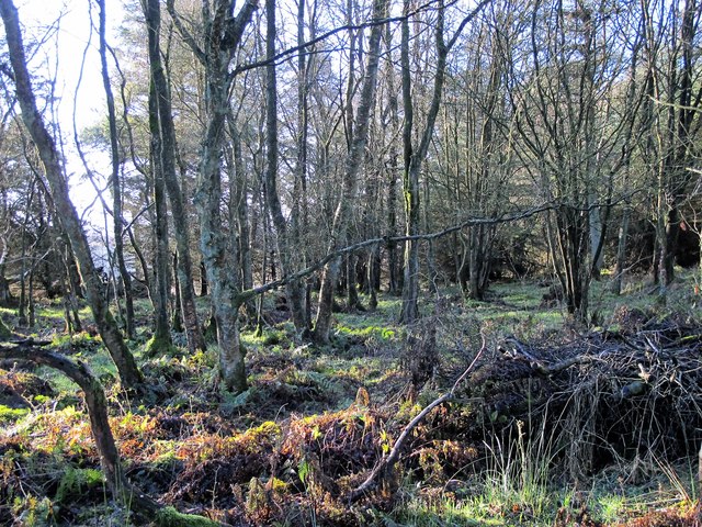
The landscape of Burnhead Moss is characterized by rolling hills, heather-covered moors, and patches of peat bog. The area is home to a diverse range of plant and animal species, making it a haven for nature enthusiasts. Rare birds like black grouse and merlins can often be spotted, along with various other species of birds of prey.
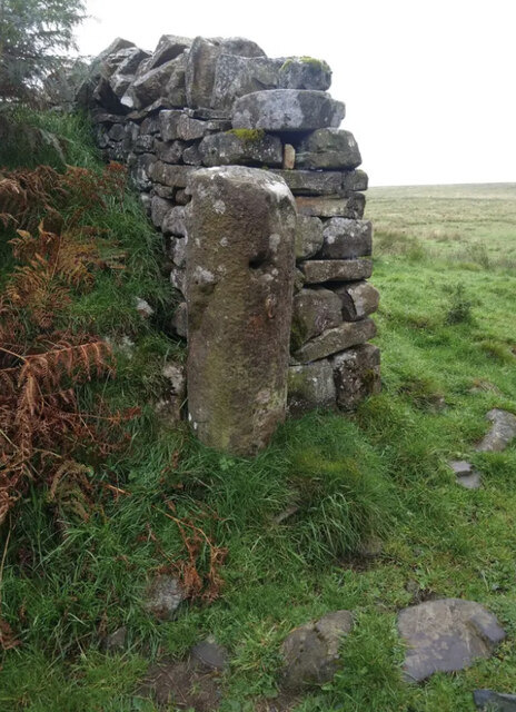
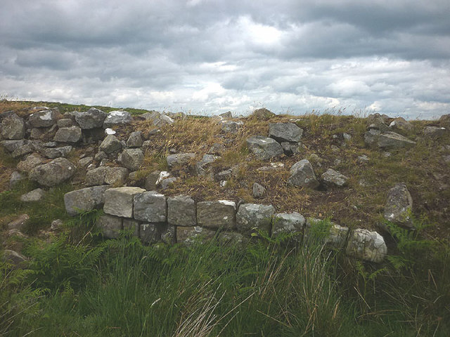
The moss is also known for its rich history, with evidence of human activity dating back thousands of years. Ancient settlements and burial sites have been discovered in the vicinity, providing insight into the lives of past civilizations. The area was once heavily used for peat cutting, which has left behind distinctive patterns in the landscape.
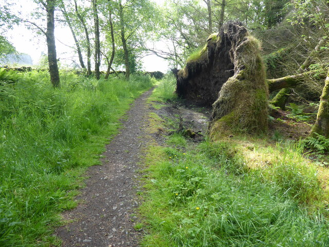
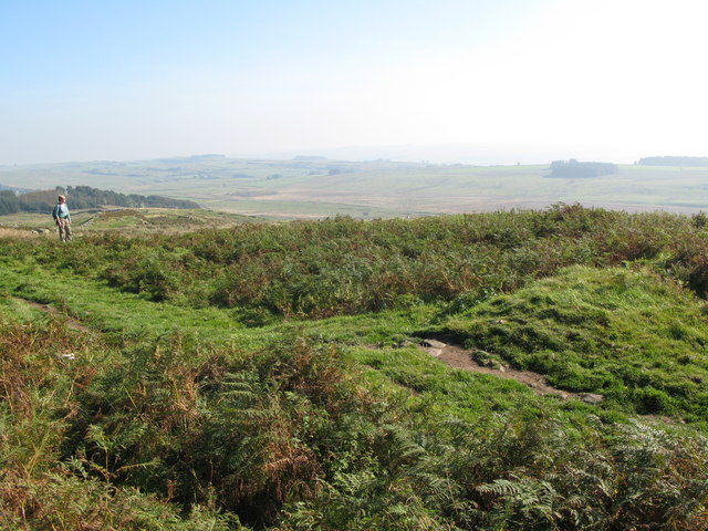
Visitors to Burnhead Moss can enjoy a range of recreational activities, including hiking, birdwatching, and photography. Several walking trails crisscross the moss, providing breathtaking views of the surrounding countryside. It is recommended to check weather conditions and wear appropriate clothing, as the moorland can be exposed and subject to changeable weather.
Overall, Burnhead Moss offers a unique and captivating experience for those seeking to explore the untamed beauty of Northumberland's moorland. Its natural diversity and historical significance make it a must-visit destination for nature lovers and history enthusiasts alike.
If you have any feedback on the listing, please let us know in the comments section below.
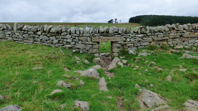
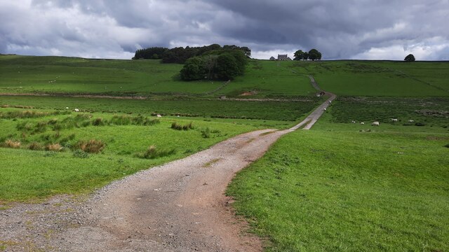
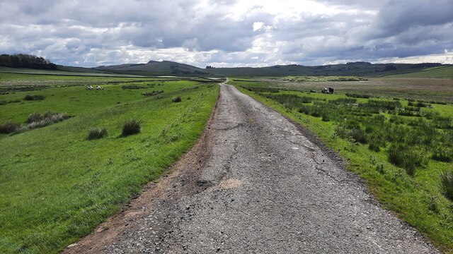
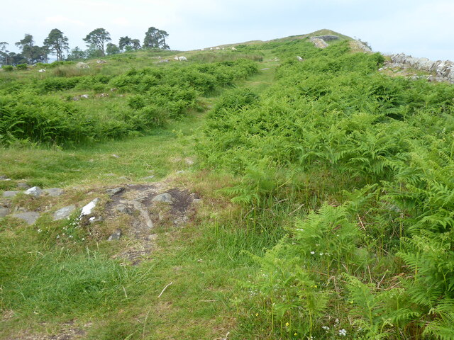
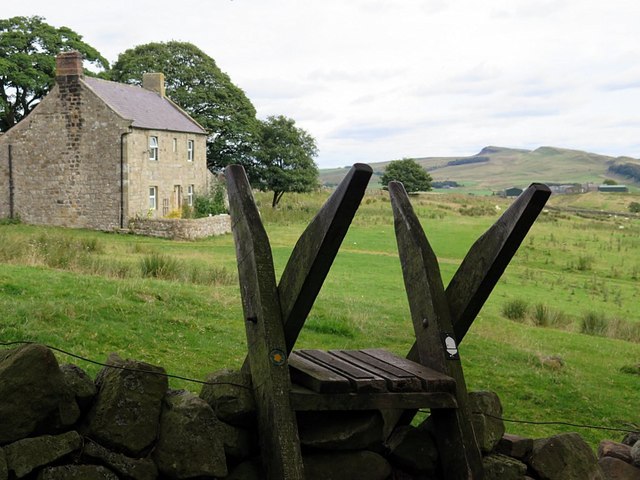
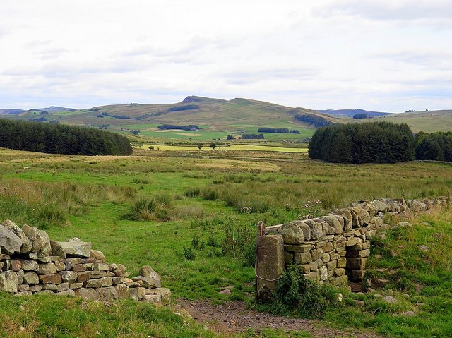
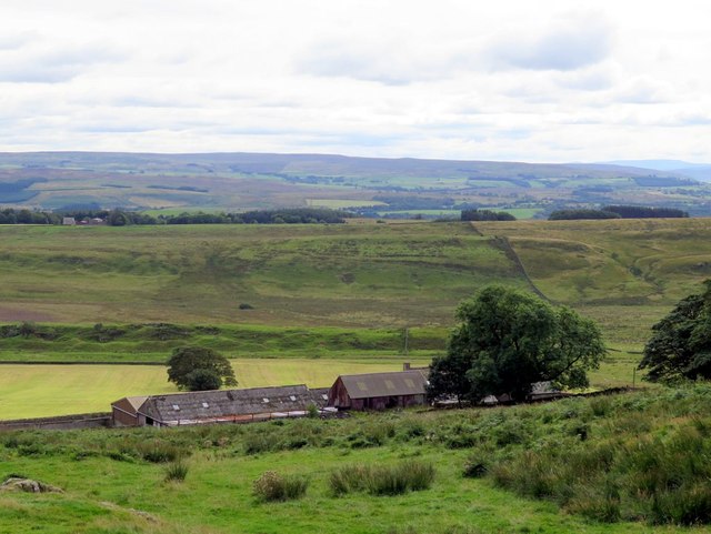
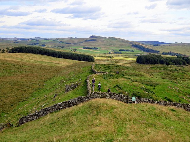
Burnhead Moss Images
Images are sourced within 2km of 55.002844/-2.4624991 or Grid Reference NY7067. Thanks to Geograph Open Source API. All images are credited.
Burnhead Moss is located at Grid Ref: NY7067 (Lat: 55.002844, Lng: -2.4624991)
Unitary Authority: Northumberland
Police Authority: Northumbria
What 3 Words
///fearfully.mascot.trickster. Near Haltwhistle, Northumberland
Nearby Locations
Related Wikis

Milecastle 43
Milecastle 43 (Great Chesters) was a milecastle on Hadrian's Wall (grid reference NY70356684). It was obliterated when the fort at Great Chesters (Aesica...
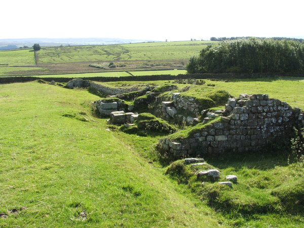
Aesica
Aesica (with the modern name of Great Chesters) was a Roman fort, one and a half miles north of the small town of Haltwhistle in Northumberland, England...

Milecastle 42
Milecastle 42 (Cawfields) is a milecastle on Hadrian's Wall (grid reference NY7157466692). == Description == Milecastle 42 is on a steep south-facing slope...
Milecastle 44
Milecastle 44 (Allolee) was a milecastle on Hadrian's Wall (grid reference NY68886694). == Description == Milecastle 44 is located about 1.5 kilometres...
Nearby Amenities
Located within 500m of 55.002844,-2.4624991Have you been to Burnhead Moss?
Leave your review of Burnhead Moss below (or comments, questions and feedback).